I’ve always been a big fan of the Lillooet area, whether it be the generally better and drier weather, the rugged yet less densely forested mountains, and numerous high-elevation shelf roads that are excellent for 4x4ing and peak access. But perhaps what I love most about the area is the huge number of spectacular destinations and adventures to be had visiting them, all while having to share them with just fraction of a fraction of the number of people that one would have to share such places with in the Lower Mainland, with only a moderately long drive to get there.
Yalakom Mountain is very much emblematic of this fact, sitting just over 50 kilometers northwest of Lillooet and about 2/3 of the way up the namesake Yalakom River Valley. It is one of the most rugged and is the second highest peak of the Camelsfoot Range, and lies just within the boundaries of Yalakom Provincial Park. This P600 peak looks, feels, and very much is, very remote and desolate, with very few human signs on it aside from the summit rock carin. I very much like peaks like this.
Both Shalaine and I were interested in doing this one seeing as we both enjoy doing road trips into this area, we figured we’d make it a road trip/camping/hiking adventure rather than try to do it in one long day.
I met up with Shalaine in Agassiz and we drove to Lillooet from there, stopping in Lillooet for fuel, last minute snacks, and muffler tape to patch a small hole in my exhaust, before continuing on. We were oscillating between doing Yalakom or Mount Birch based on varying and differing forecasts between the mountains. In the end, we decided to go for our original plan of Yalakom. We left Lillooet and soon found our way on Yalakom FSR. The road is largely smooth and easy driving, with 5-8 short sections where some rockfall covers the road. Any proper 4x4 could get through it no problem, while a crossover SUV to get through would likely have to move a few rocks to avoid scraping.
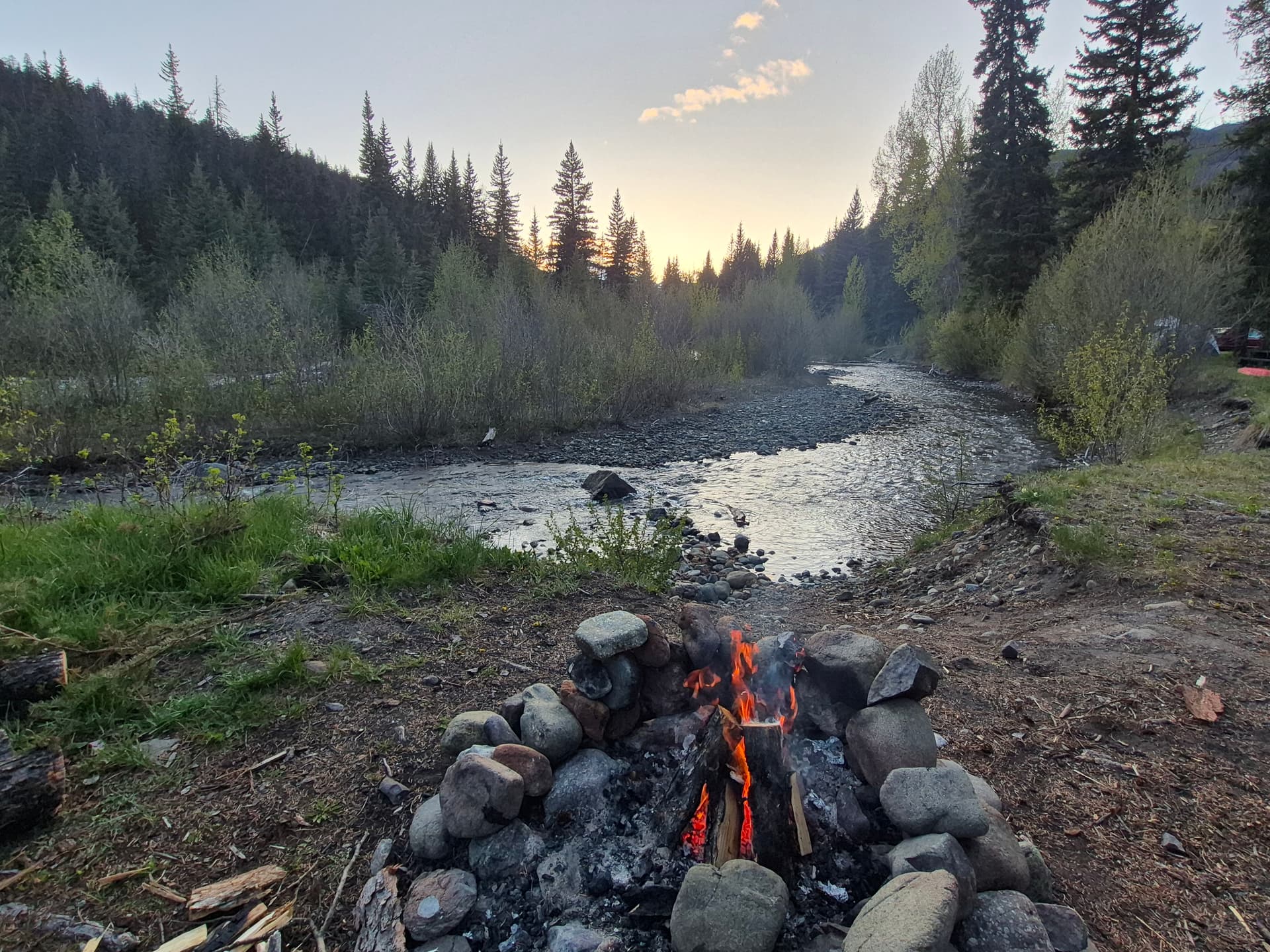
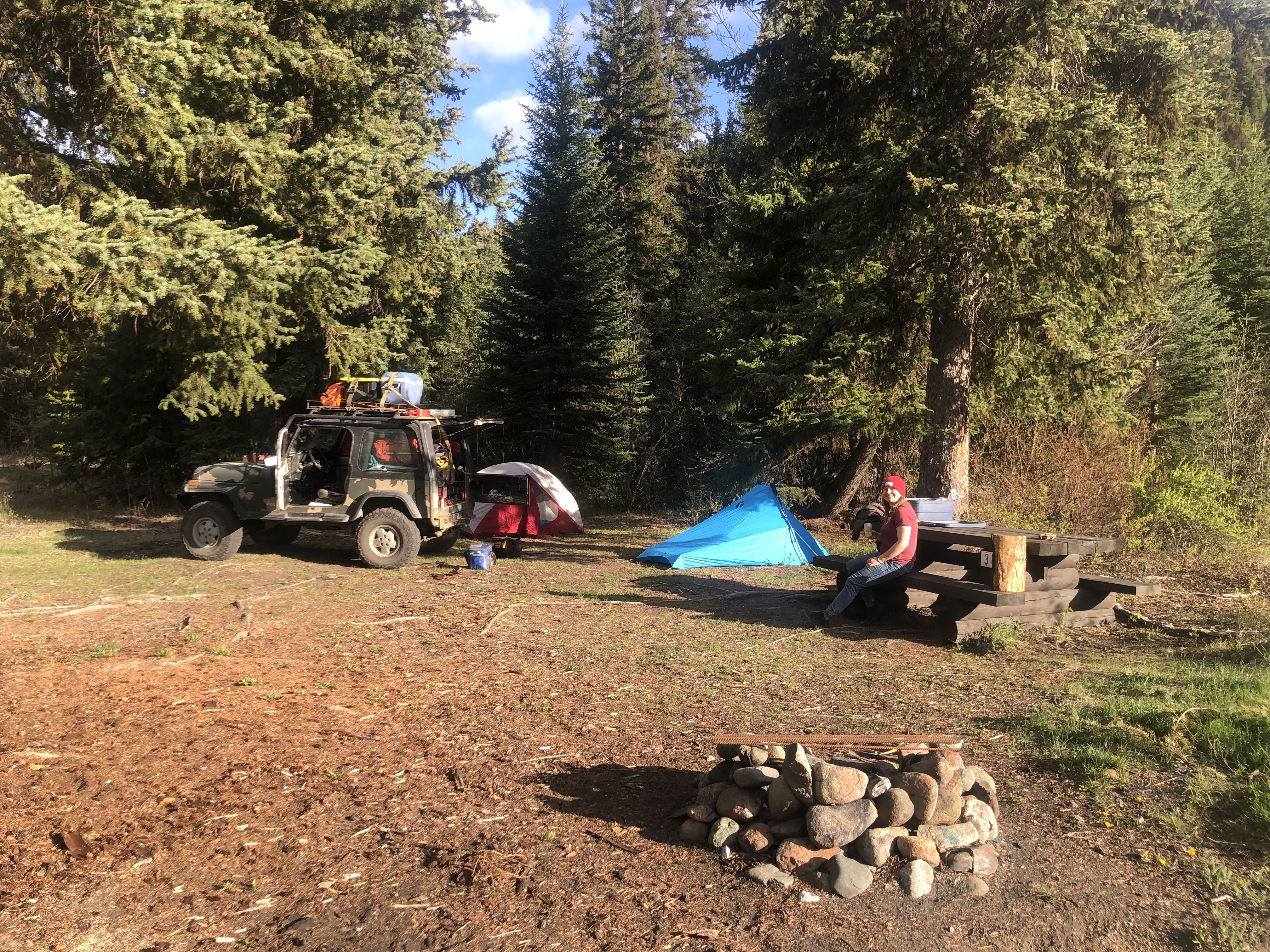
Christine the land guardian was very pleasant to chat with when we passed through her checkpoint and in no way tried to stop us. She just wanted to take note of who was coming in and out it seemed. We then drove to Beaverdam Recreation Site, set up camp, cut up some deadfall further up the road for firewood, made a nice fire and cooked some steaks over it, and called it a night, ready for a bright and early morning adventure the next day.
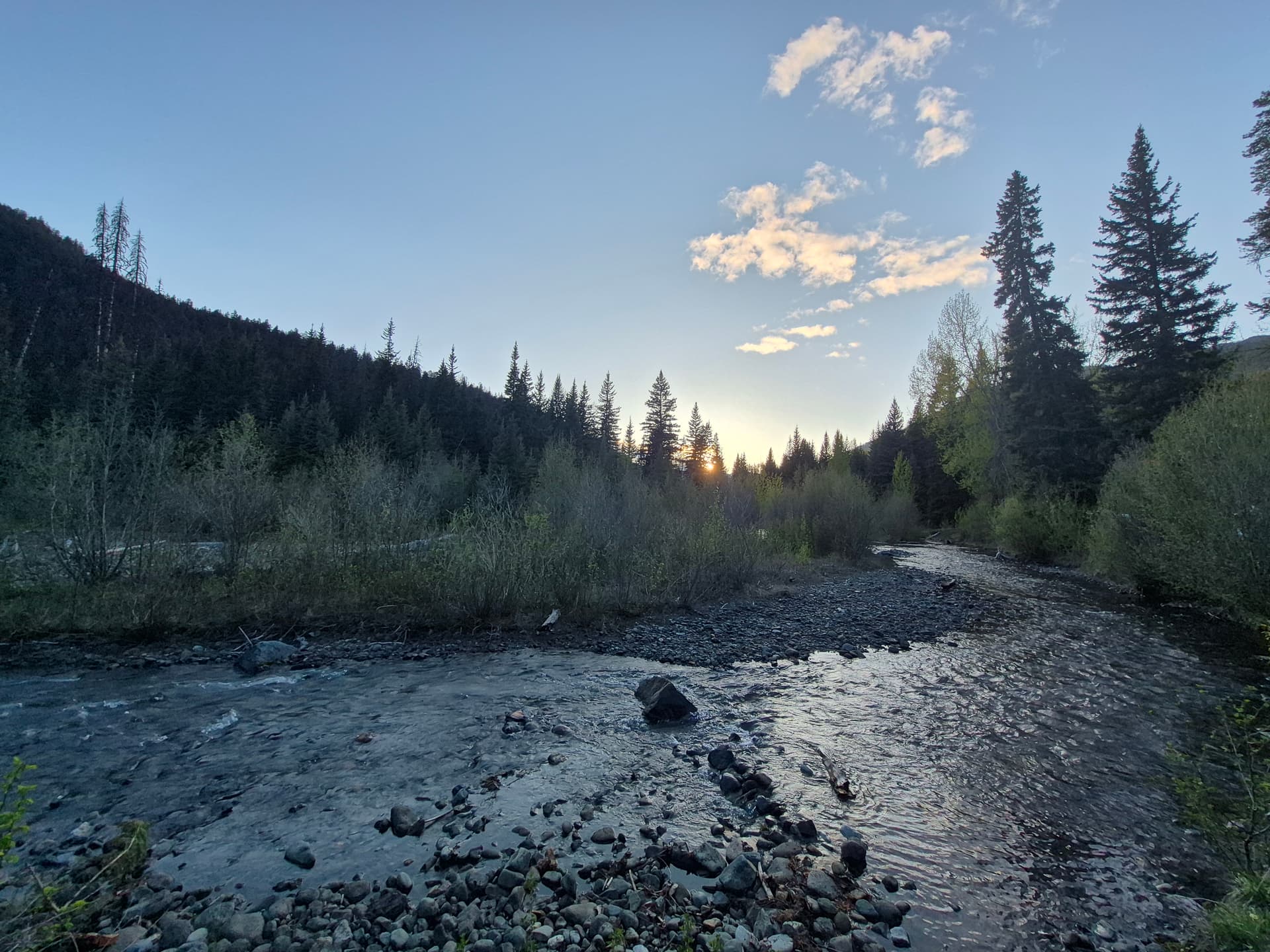
The next morning, we quickly packed up camp and drove 30 minutes to just before the provincial park boundary sign right after a bridge over the Yalakom River, and were hiking minutes after 6 AM. While our plan was to gain the west ridge, which is how this peak is typically climbed, we opted to take the southern of the two forested ridges that lead to it from just past the bridge. This ended up being a fairly consequential decision, though in a very good way. Much like the northern forested ridge, the first 15-20 minutes was through tons of downed pine beetle-killed trees, though once the terrain steepened up the it became quite pleasant, with the forest being relatively open and easy to navigate, just fairly steep. At roughly 1650 meters, there’s a small but very strange clearcut that has numerous, clearly human-felled trees (clearly cut with a chainsaw) but none of the logs have been taken. Would love to know the story on that.
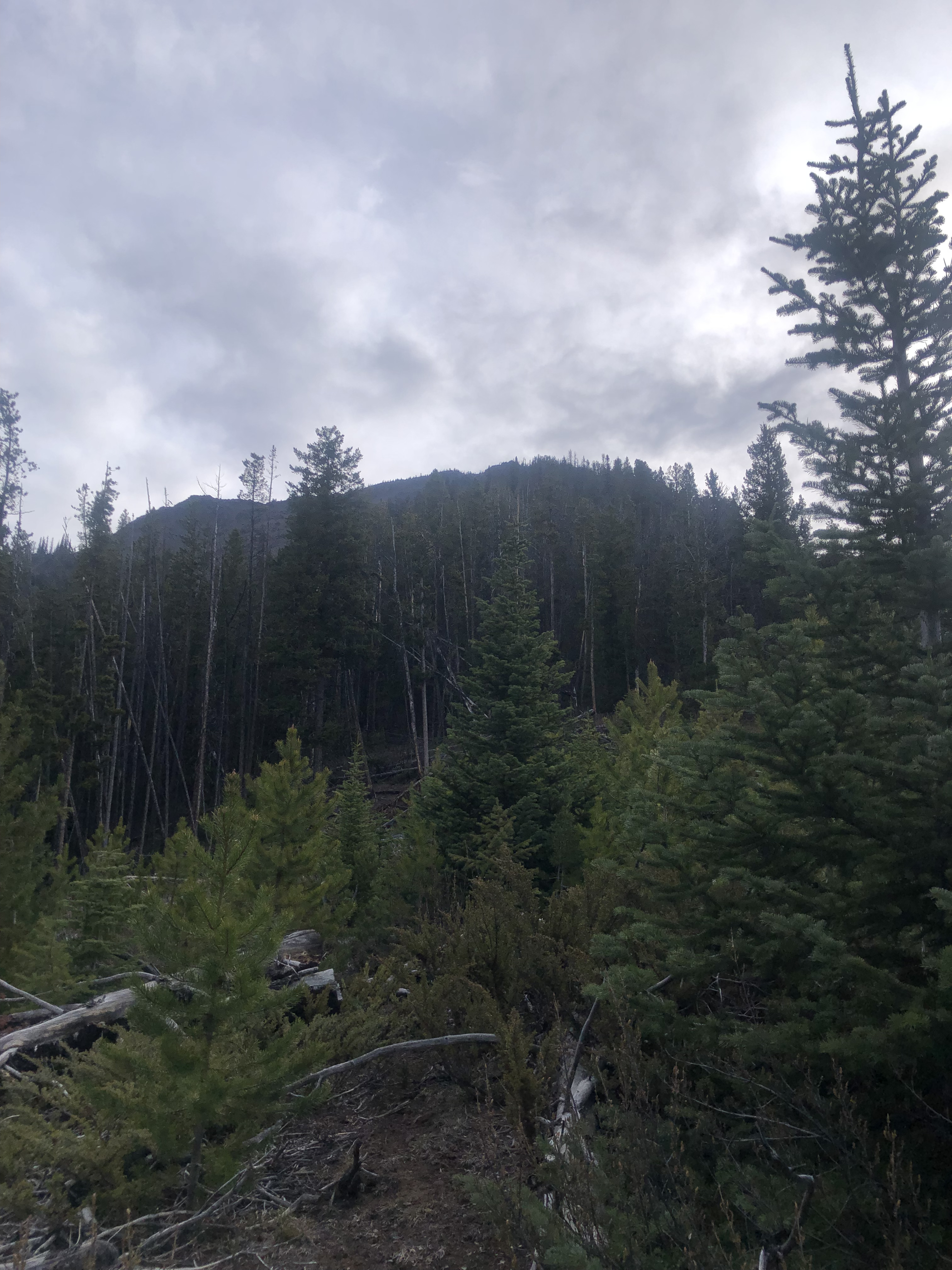
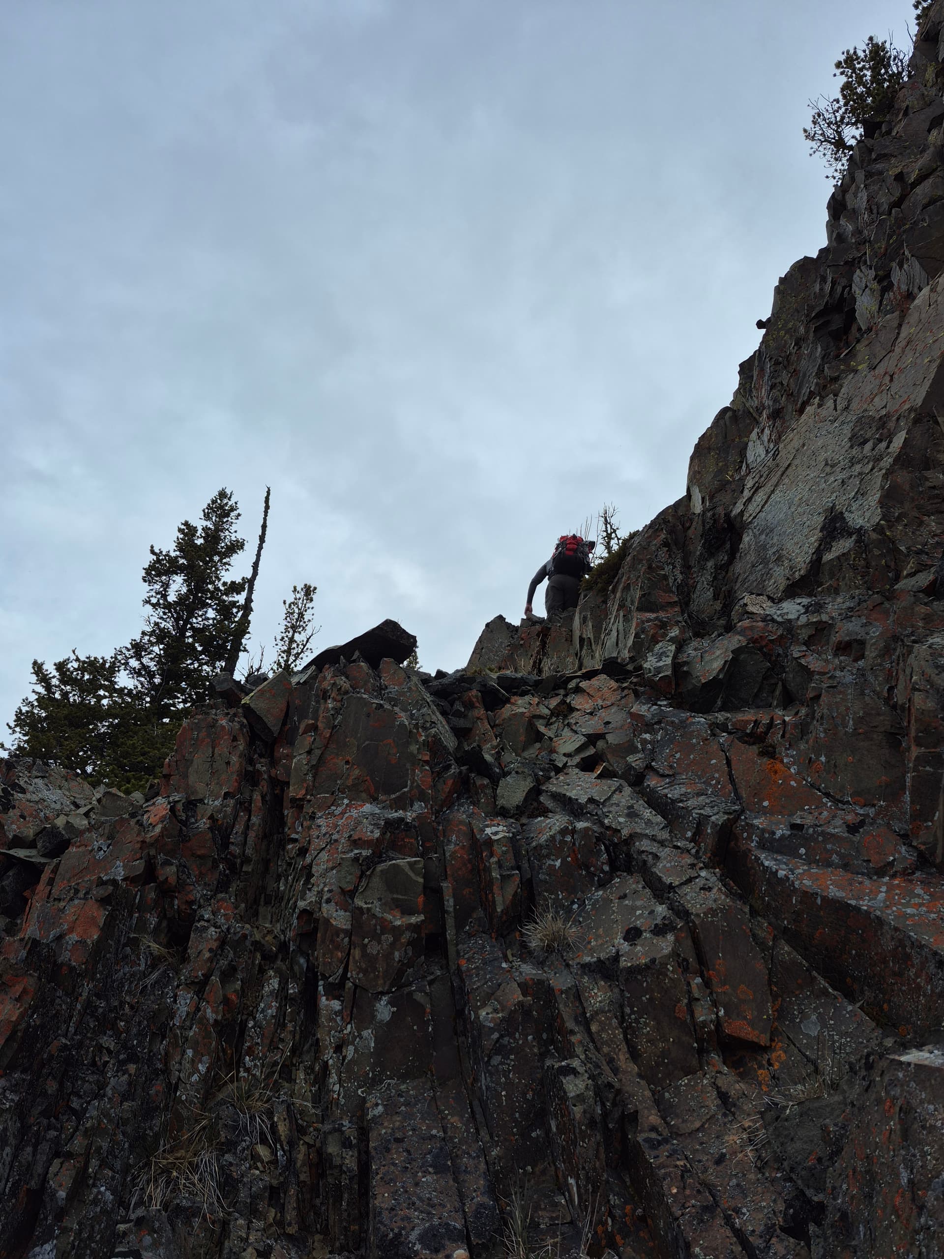
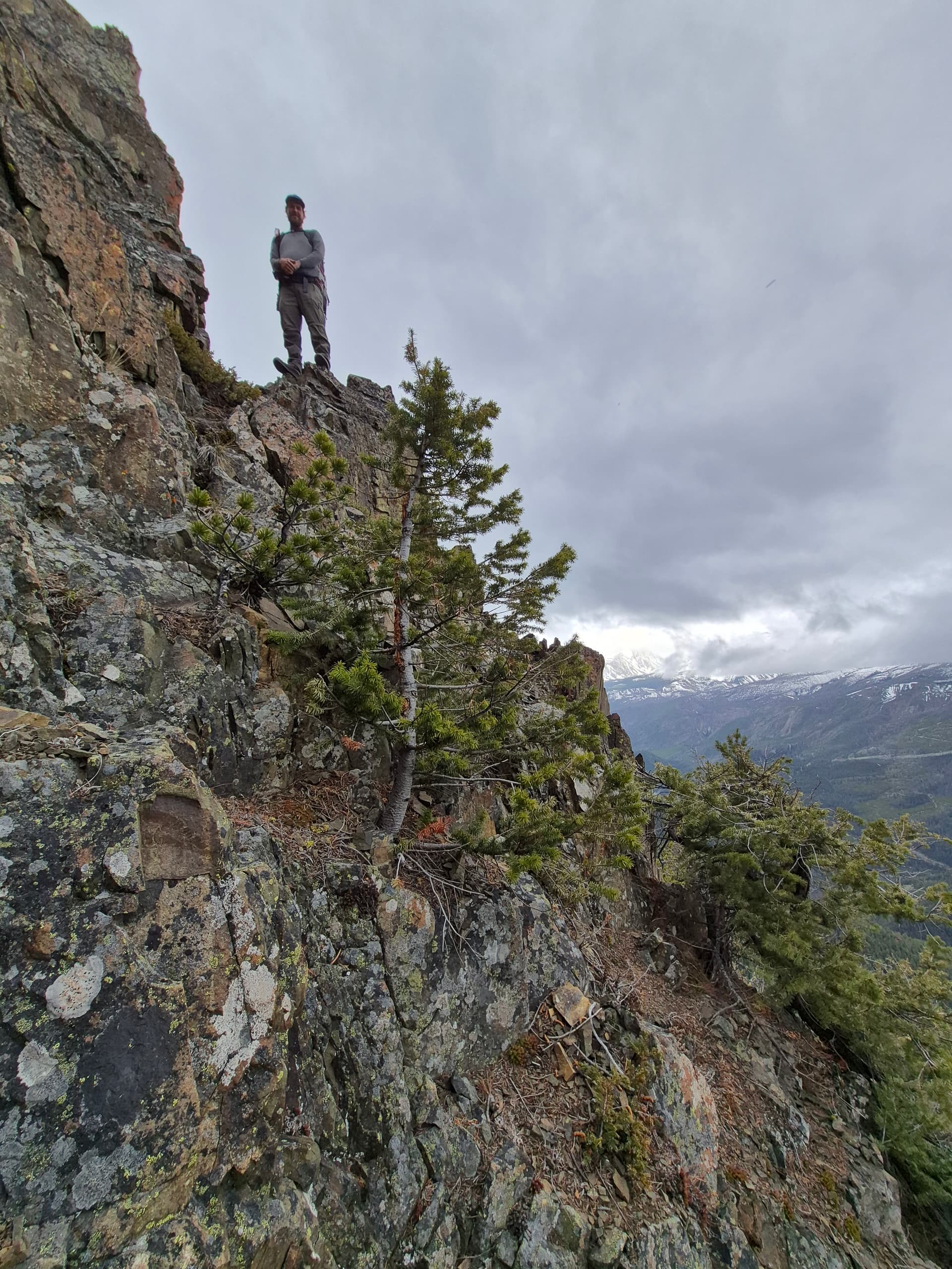
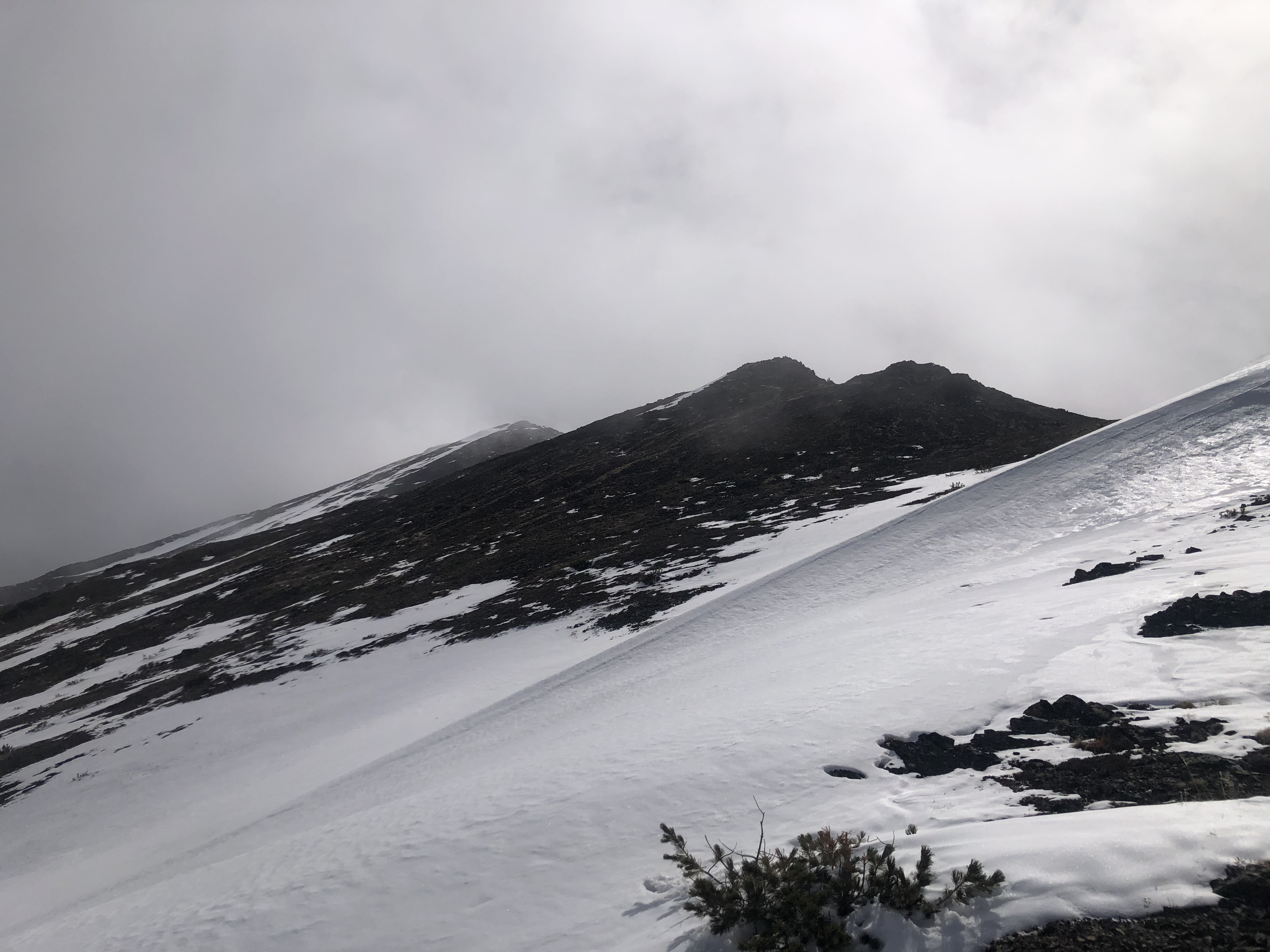
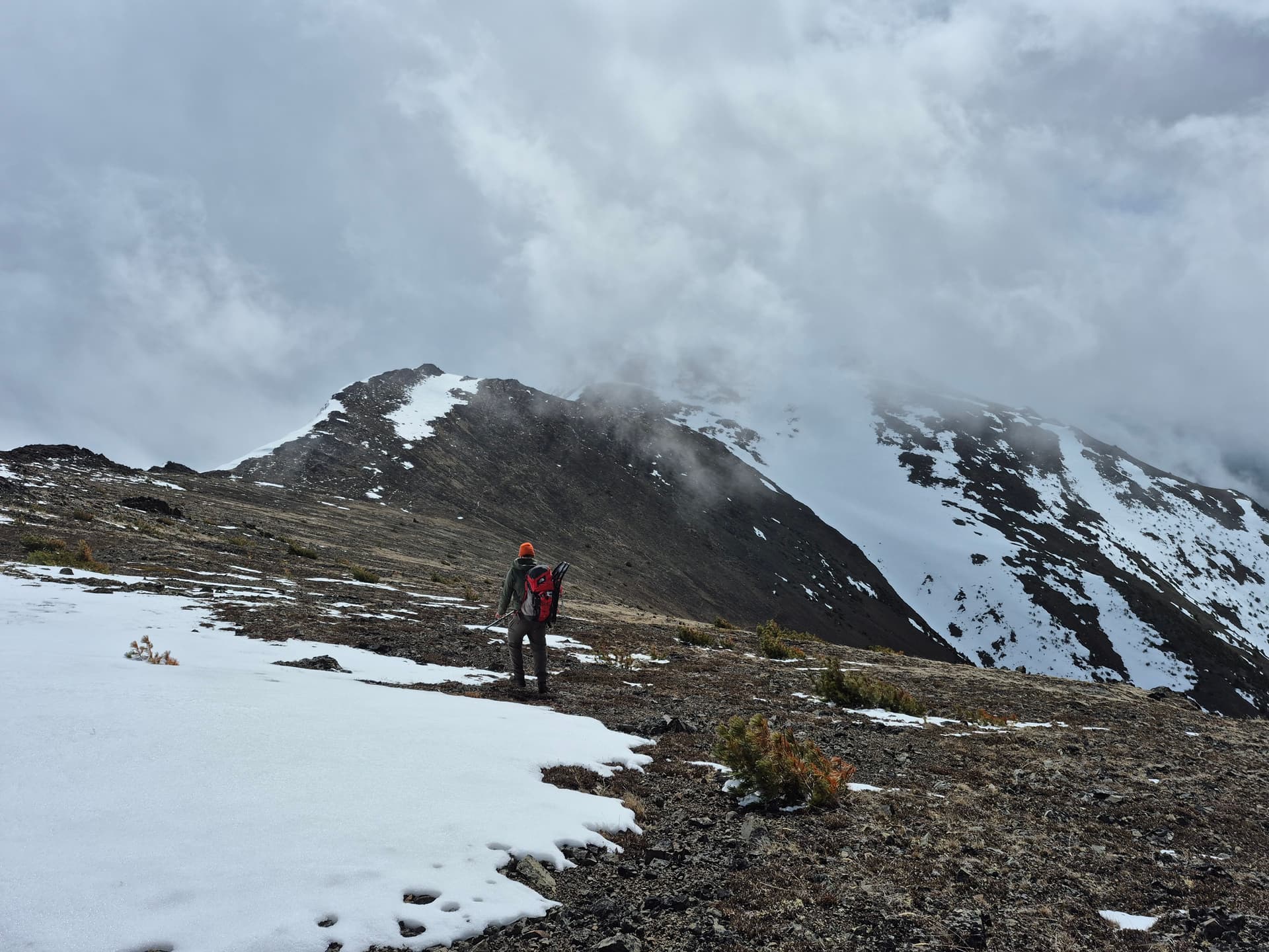
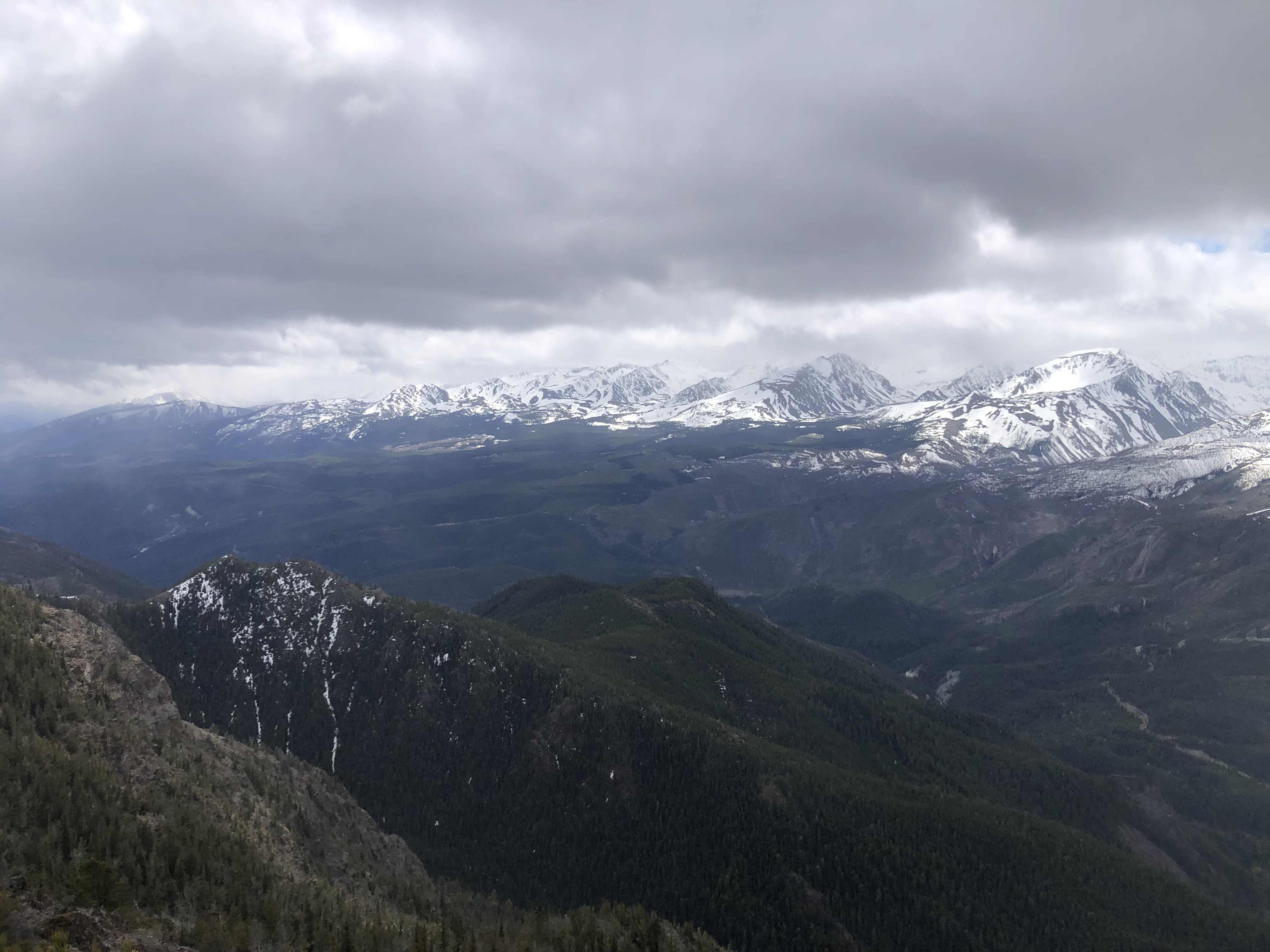
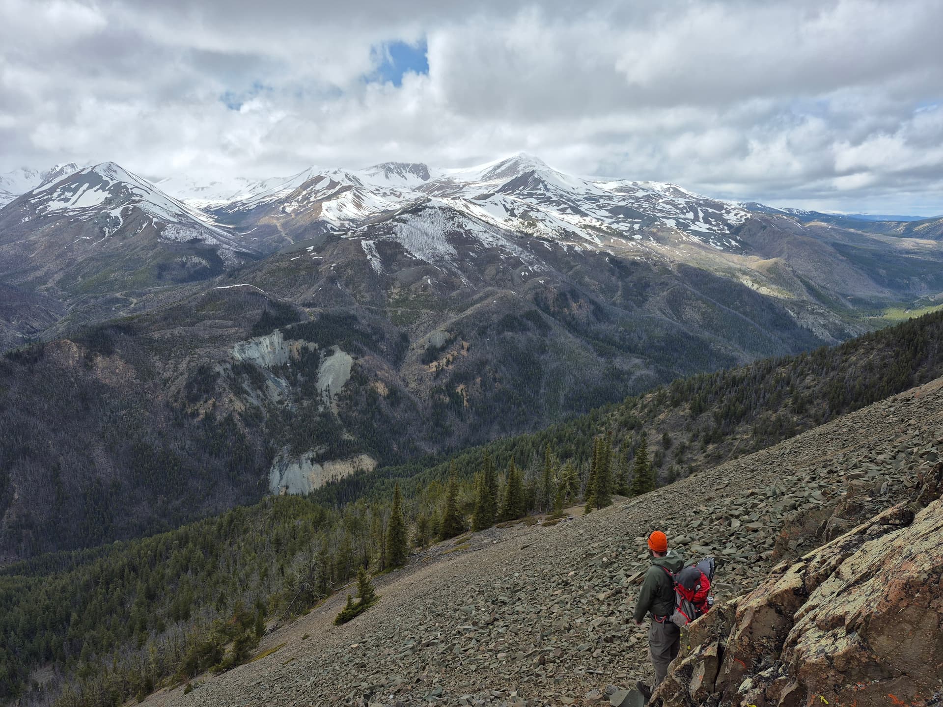
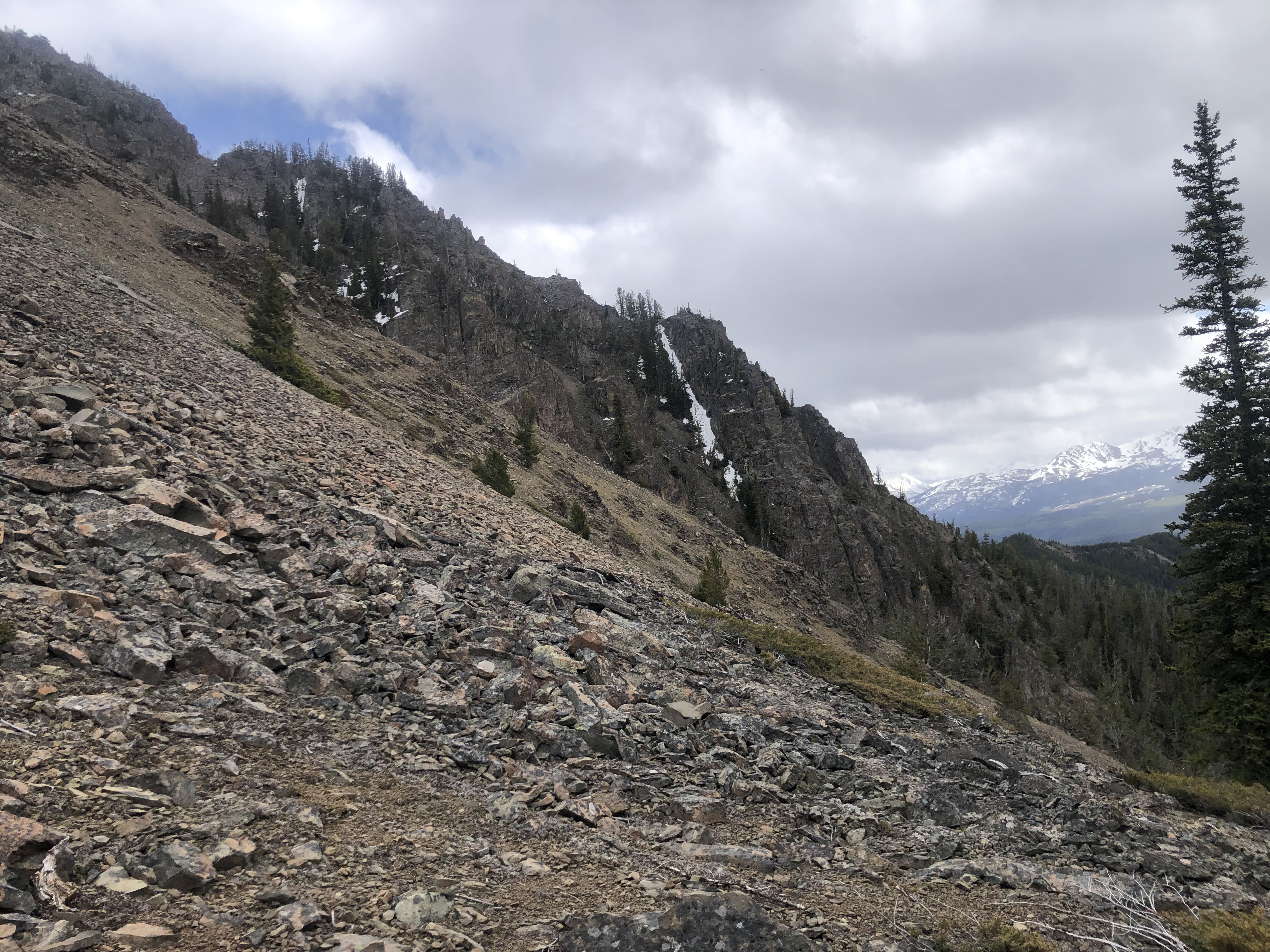
At approximately 1820 meters, we very abruptly reached the end of the forest ridge and found ourselves at the base of some imposing looking rock walls. Before we started up the rocks, I sent the drone up to asses the route, and it looked okay. We then started up the rocks, and was very pleased to find the rock was (relatively) solid, somewhat blocky, and generally had good holds (make sure you check them though before putting your full body weight into them). From here to approximately 2100 meters was some some fun on-and-off Class 3 scrambling, with a few bushy sections interspersed between. For a completely new route up, this was really enjoyable, and avoids the short but nasty scree treadmill on the northern approach. Great westerly views of the Big Dog Mountain and the Shulaps Range from here too. Would definitely recommend this as an up-track for this mountain.
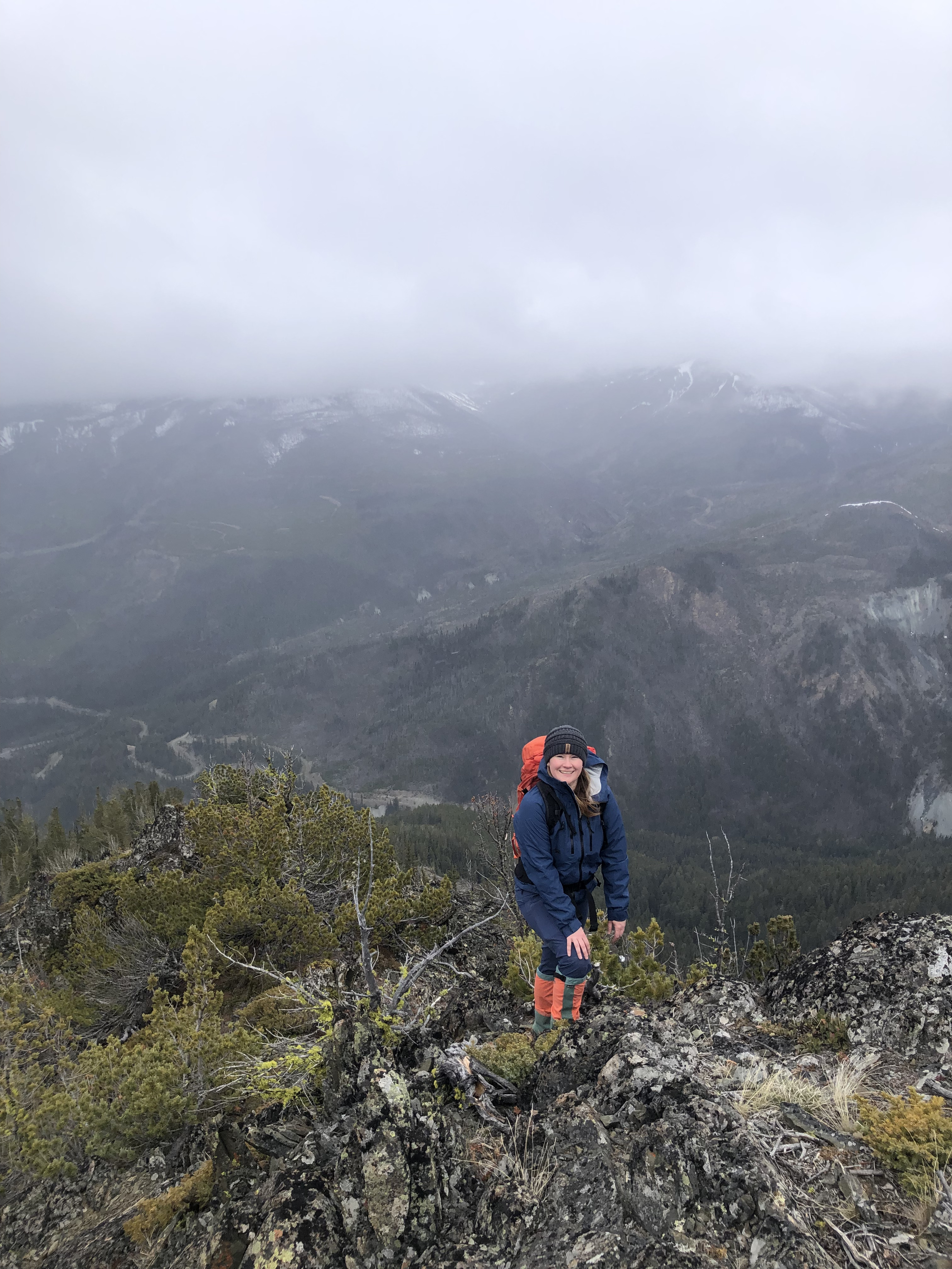
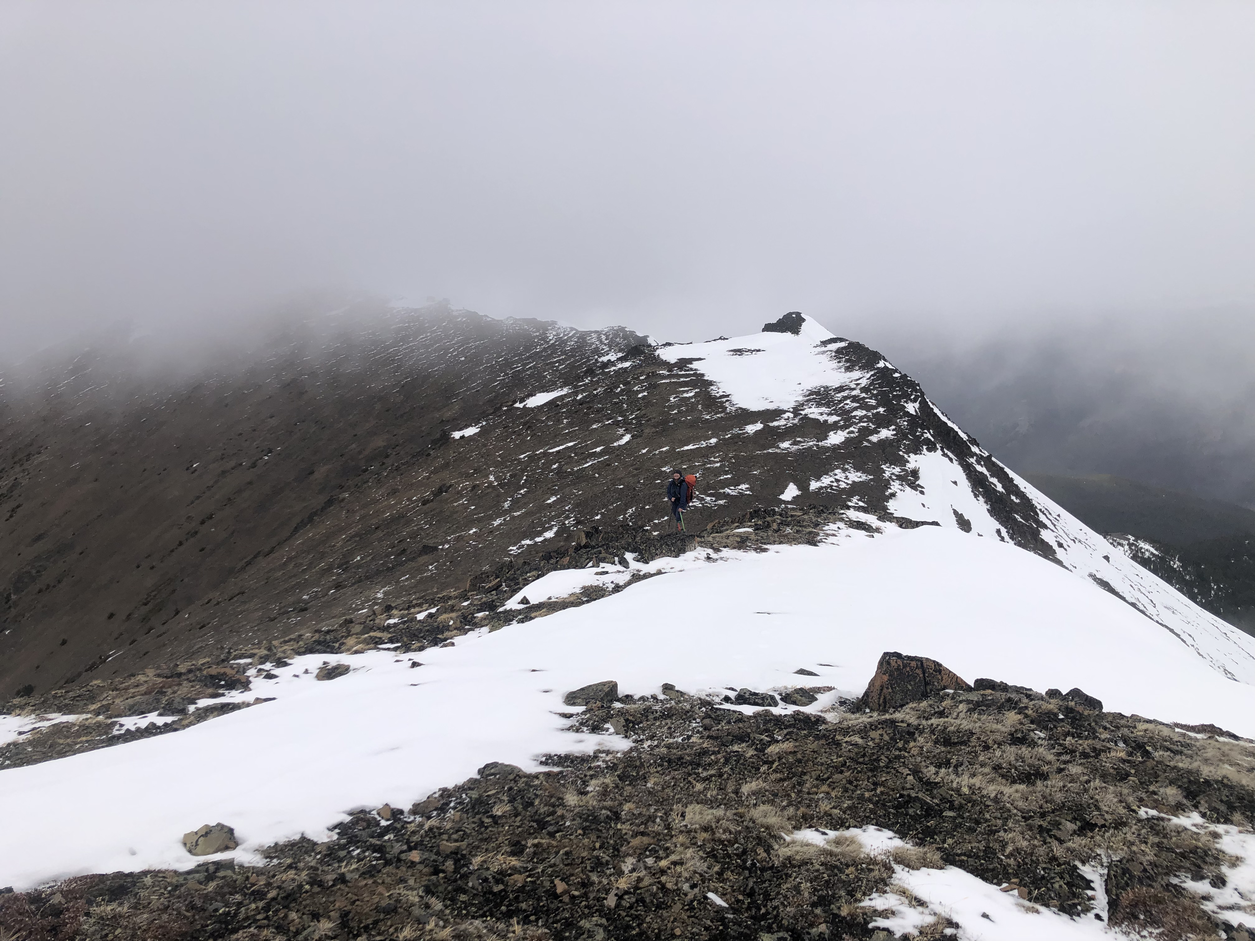
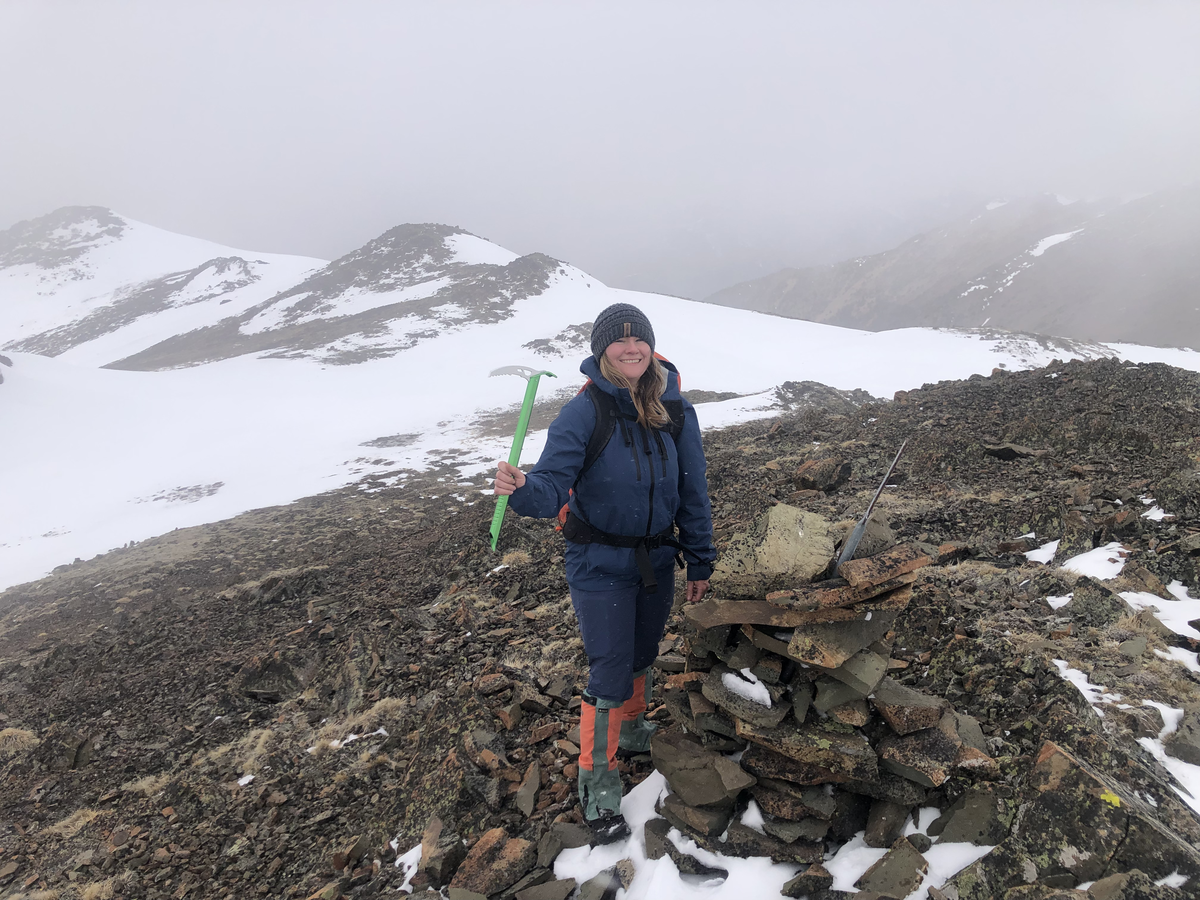
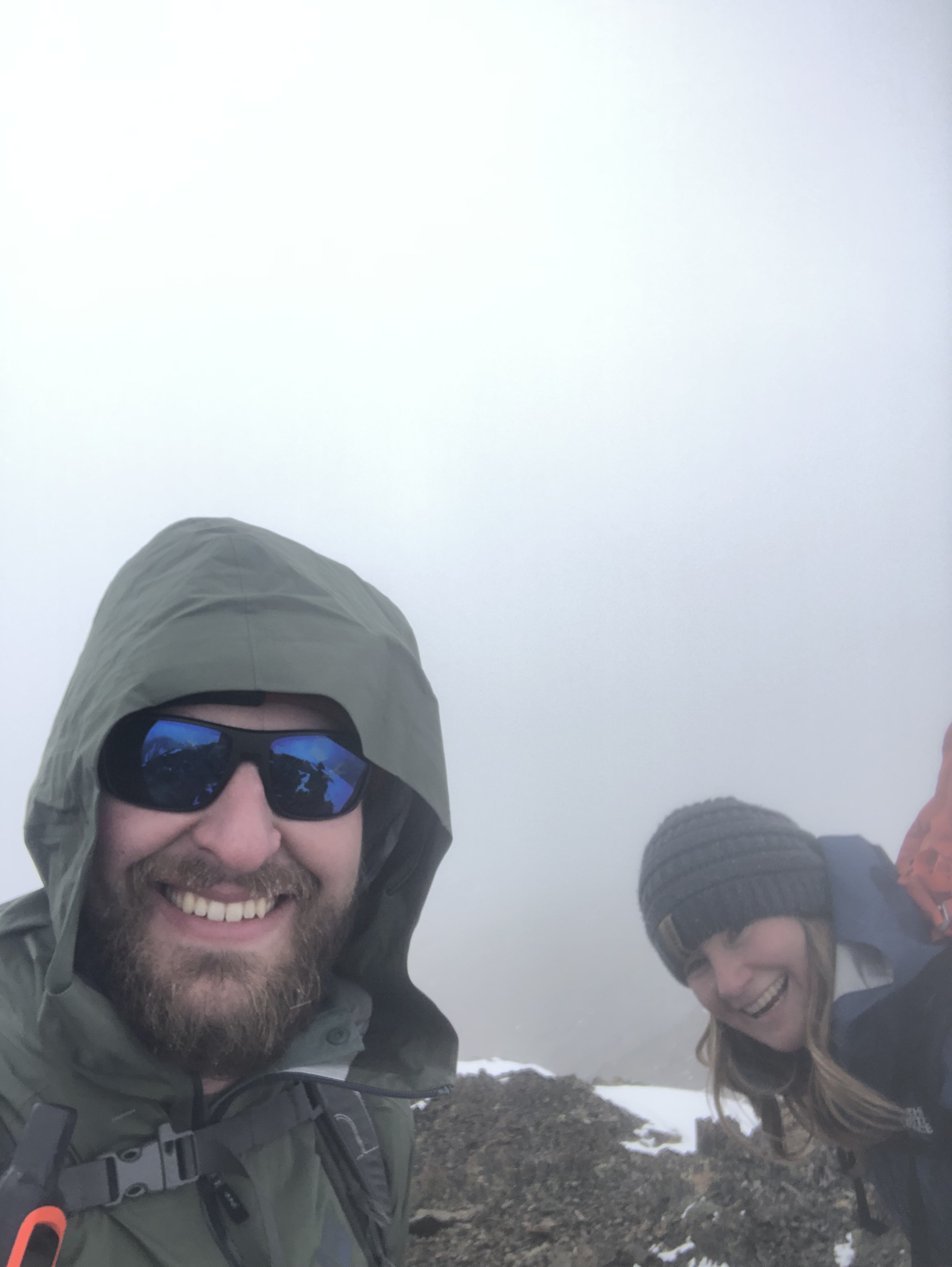
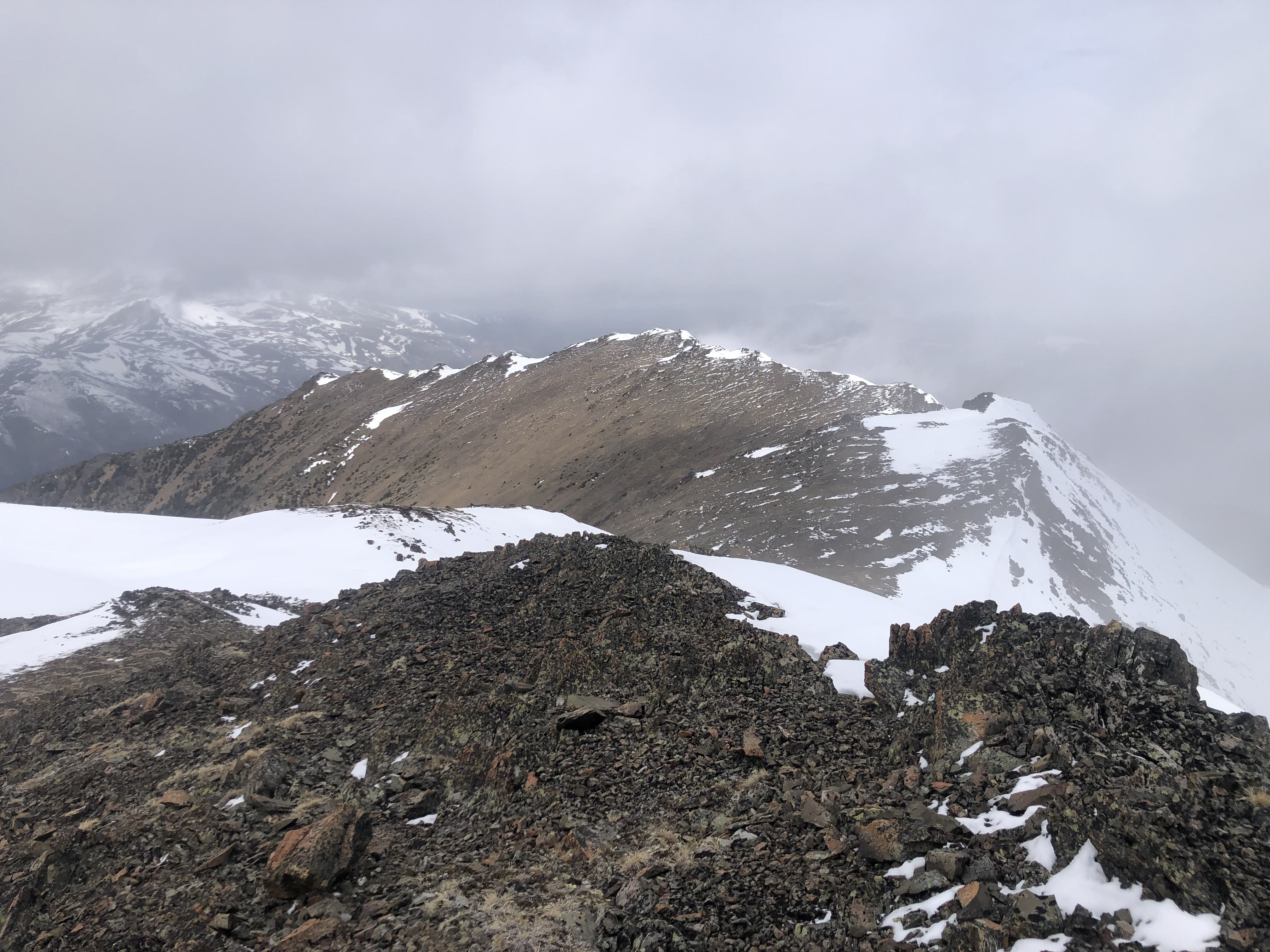
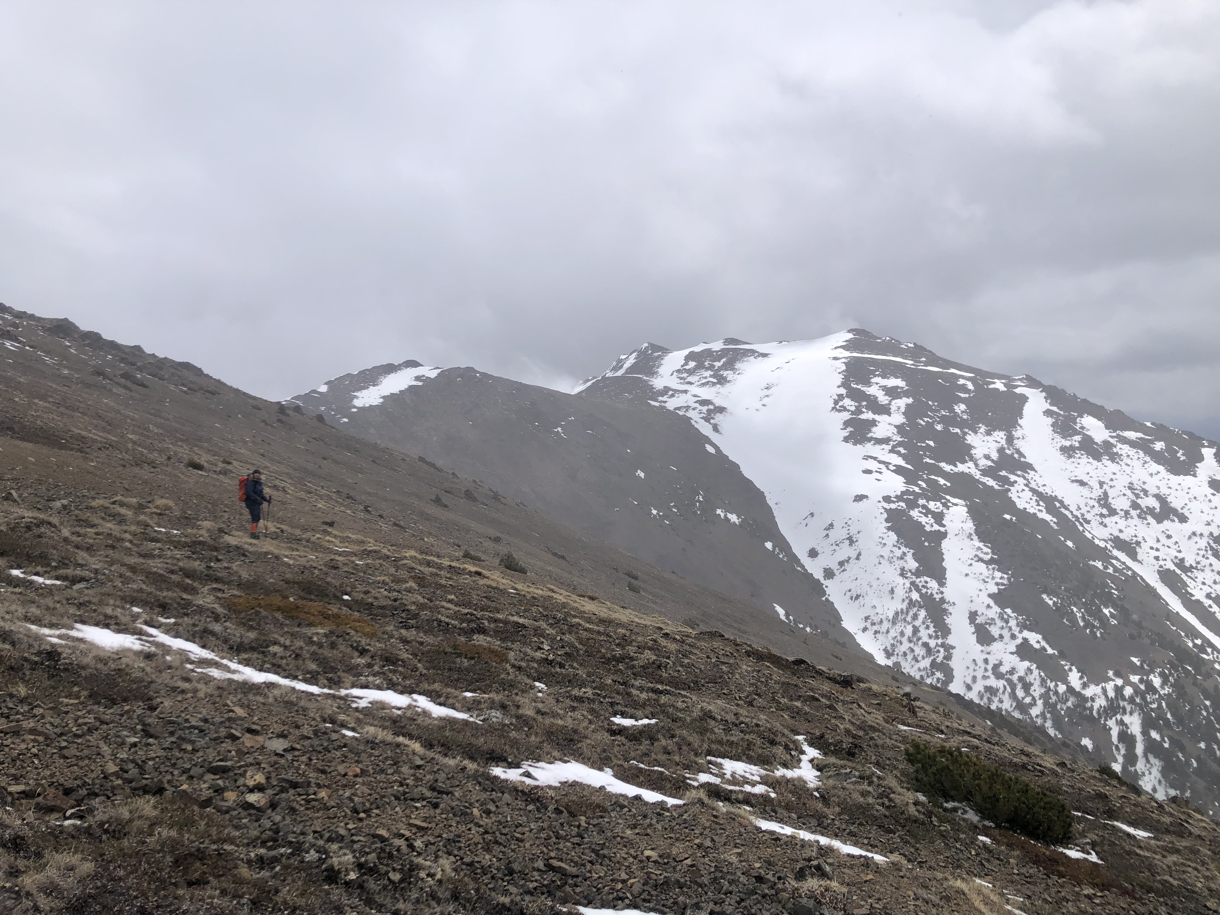
At 2120 meters, my route and the conventional route converge, and from here it’s a relatively easy ridge-walk over various bumps on tightly packed shale to the summit. Unfortunately it was at this point that the clouds rolled in and obstructed the summit and much of the ridge, only offering brief glimpses into the distance. The wind also picked up too, with a sub-zero, bitterly cold wind-chill hitting us from the south. While this was unfortunate, it was totally inline with what our forecasts predicted, so we weren’t surprised. Unfortunately though, due to not being able to see more than 1/2 bumps ahead, each bump we approached we assumed was the summit, only to find out we were not there yet. We had brought our spikes, snowshoes and ice axes, though we only used our ice axes as we crossed a couple steep-ish snow patches on the leeward (north) side of the ridge, though poles would have easily sufficed. One could also avoid virtually all the snow patches that remain up there by staying on the southern side of the ridge, though the wind was far more intense here.
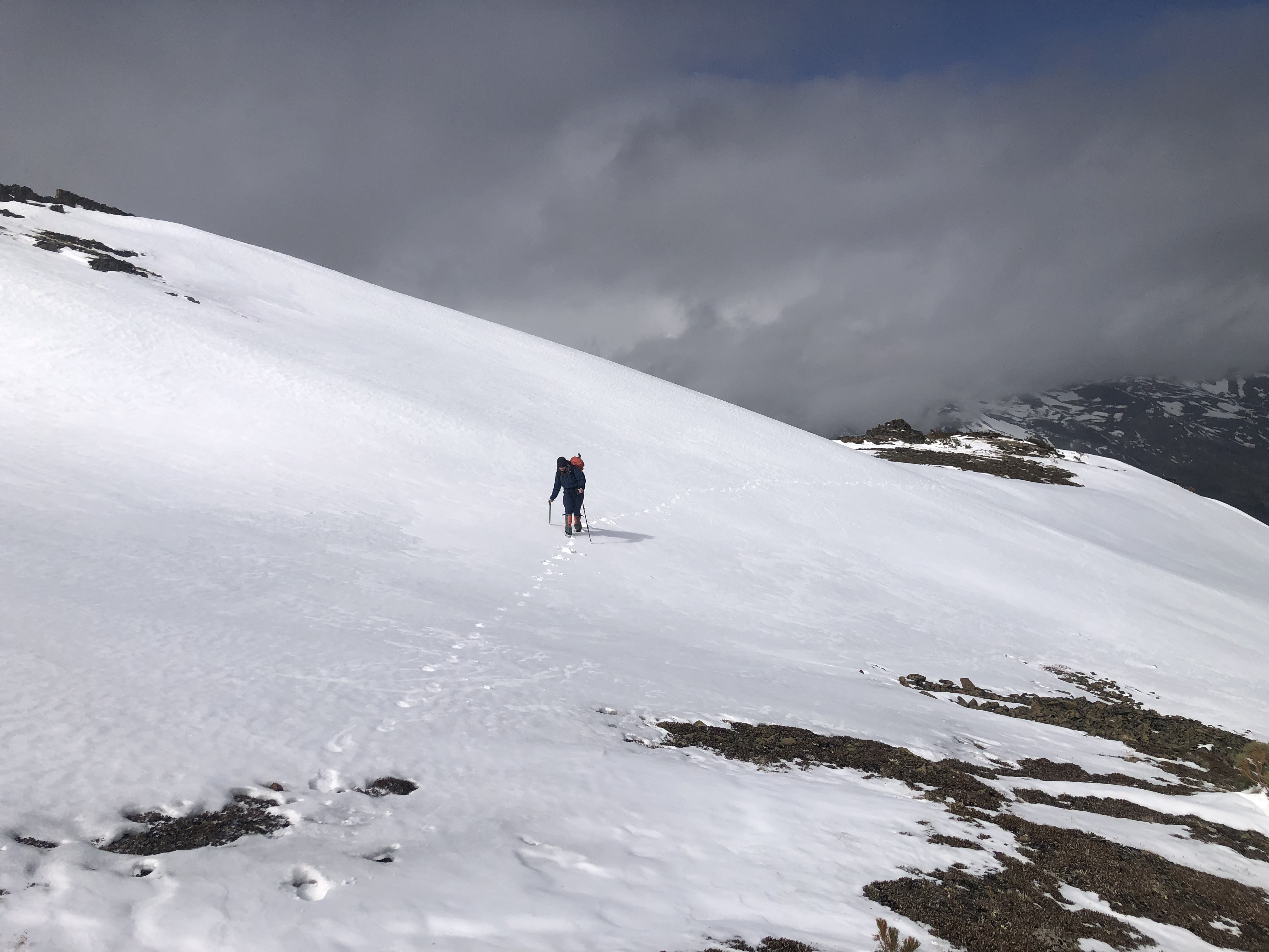
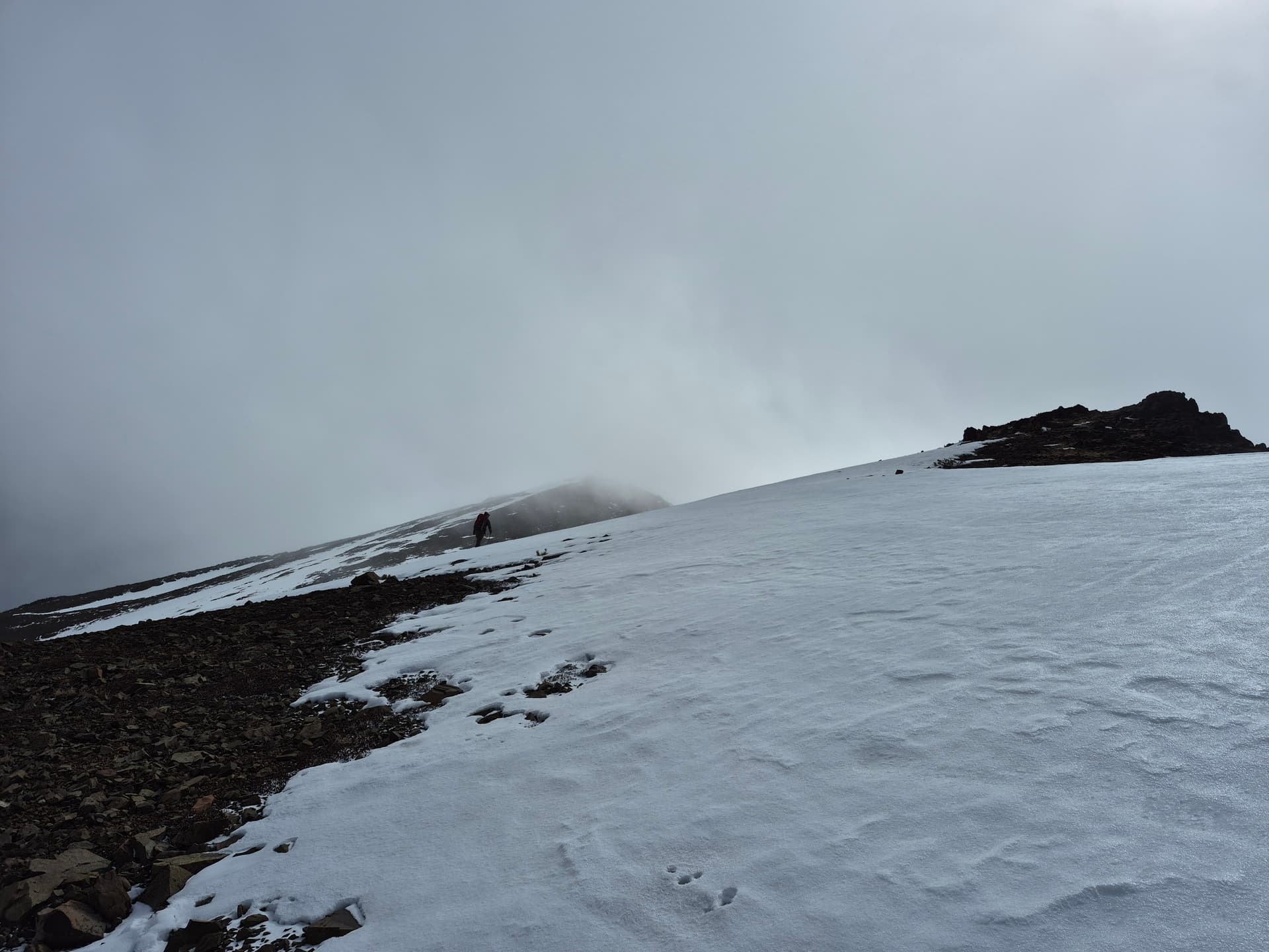
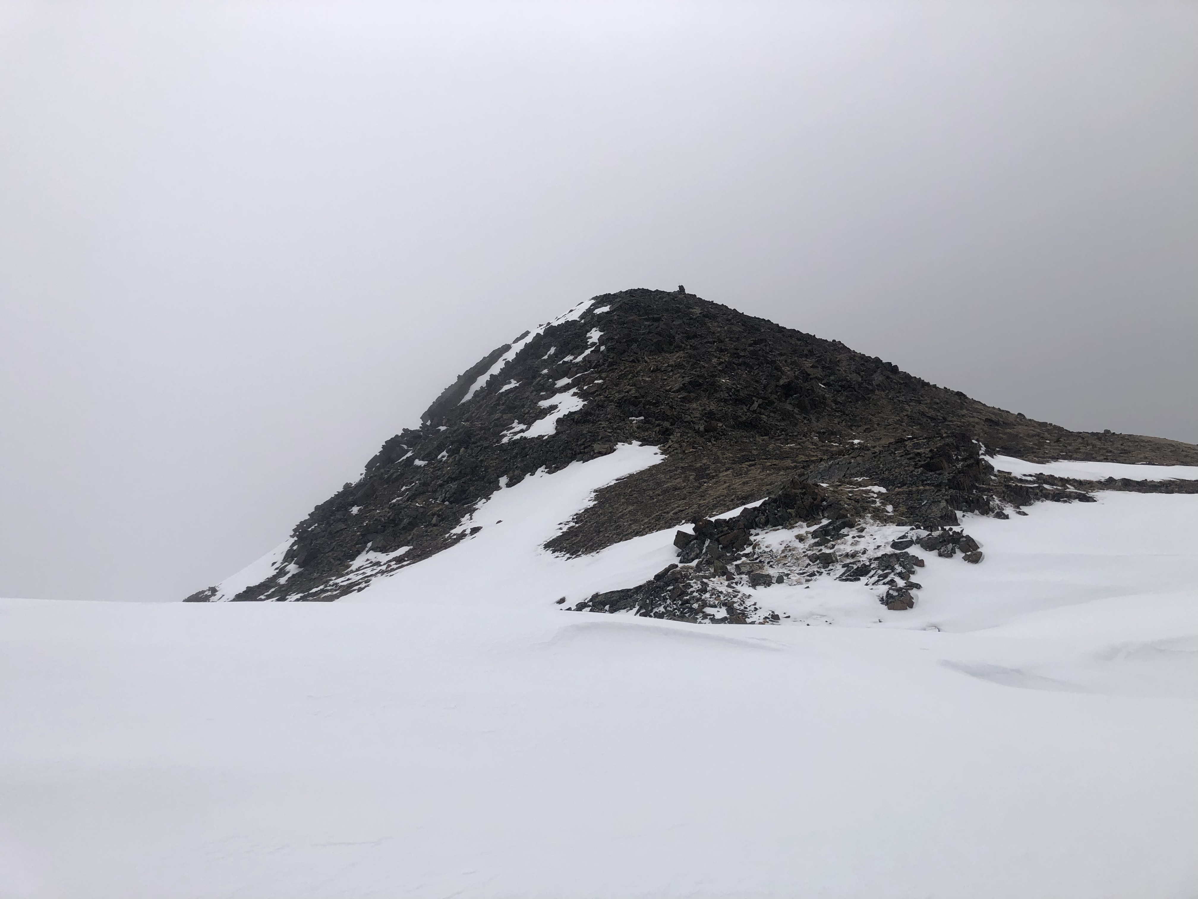
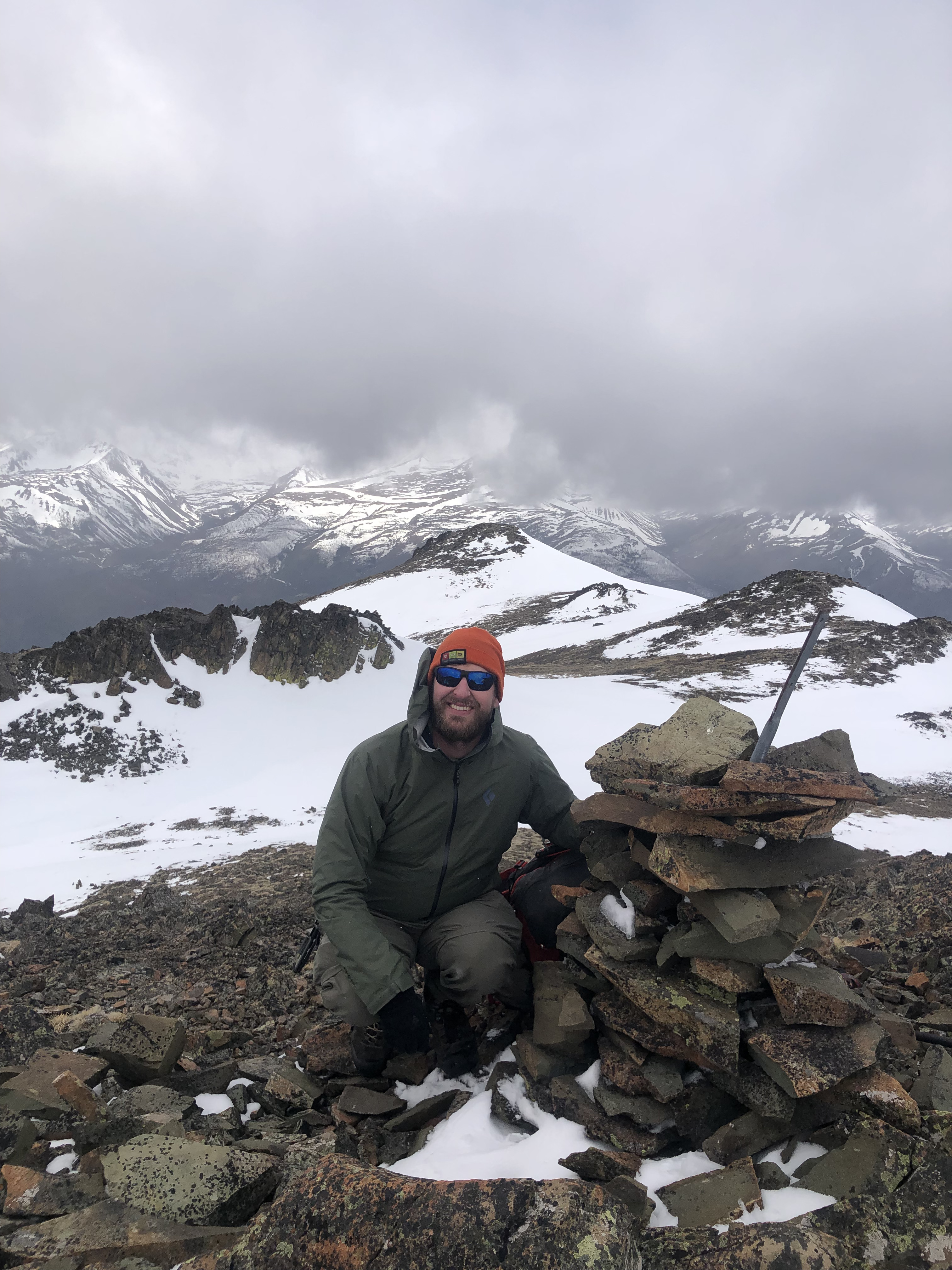
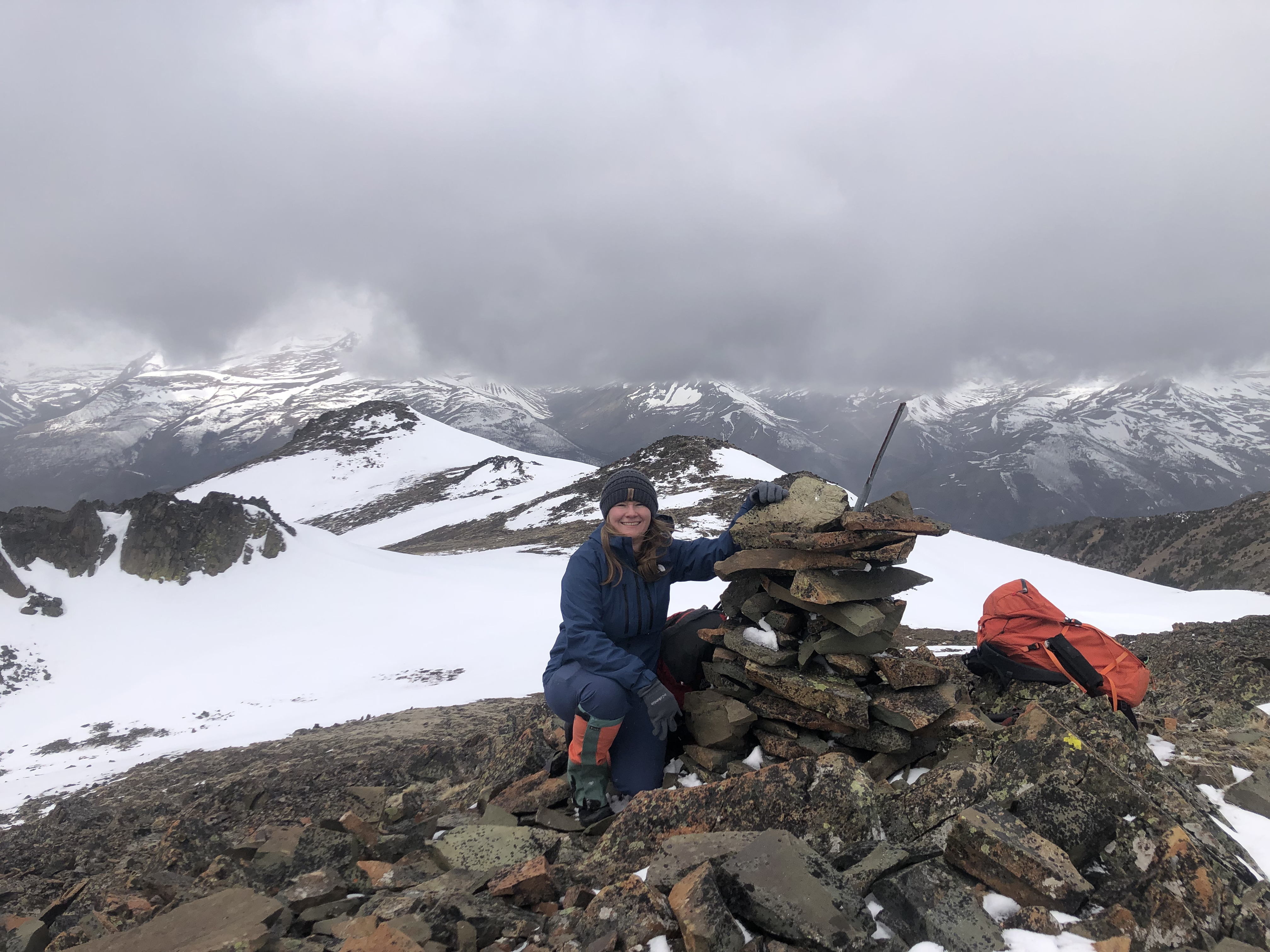
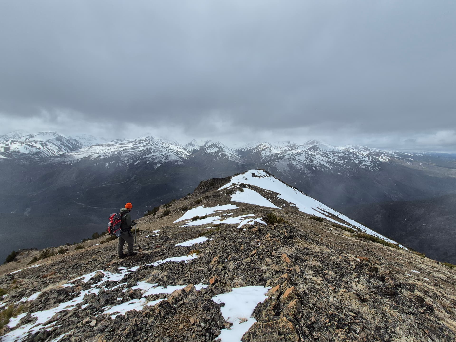
At the summit we had virtually zero views for most of the time we were there, though just before we left it did start to clear up a bit and largely continued to do so for most of our descent down the ridge. The summit has a medium sized rock carin on it as well as a geographical survey marker. Due to the cold winds, we didn’t stick around at the top for too long and mostly just took some photos and had a quick snack.
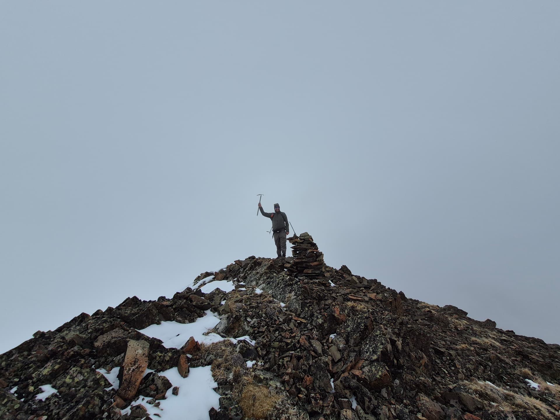
I briefly took my InReach off while up there and unfortunately ended up leaving it up there, only realizing my mistake after we were well on our way down. Please return it to me if/when you find it, whoever climbs Yalakom next.
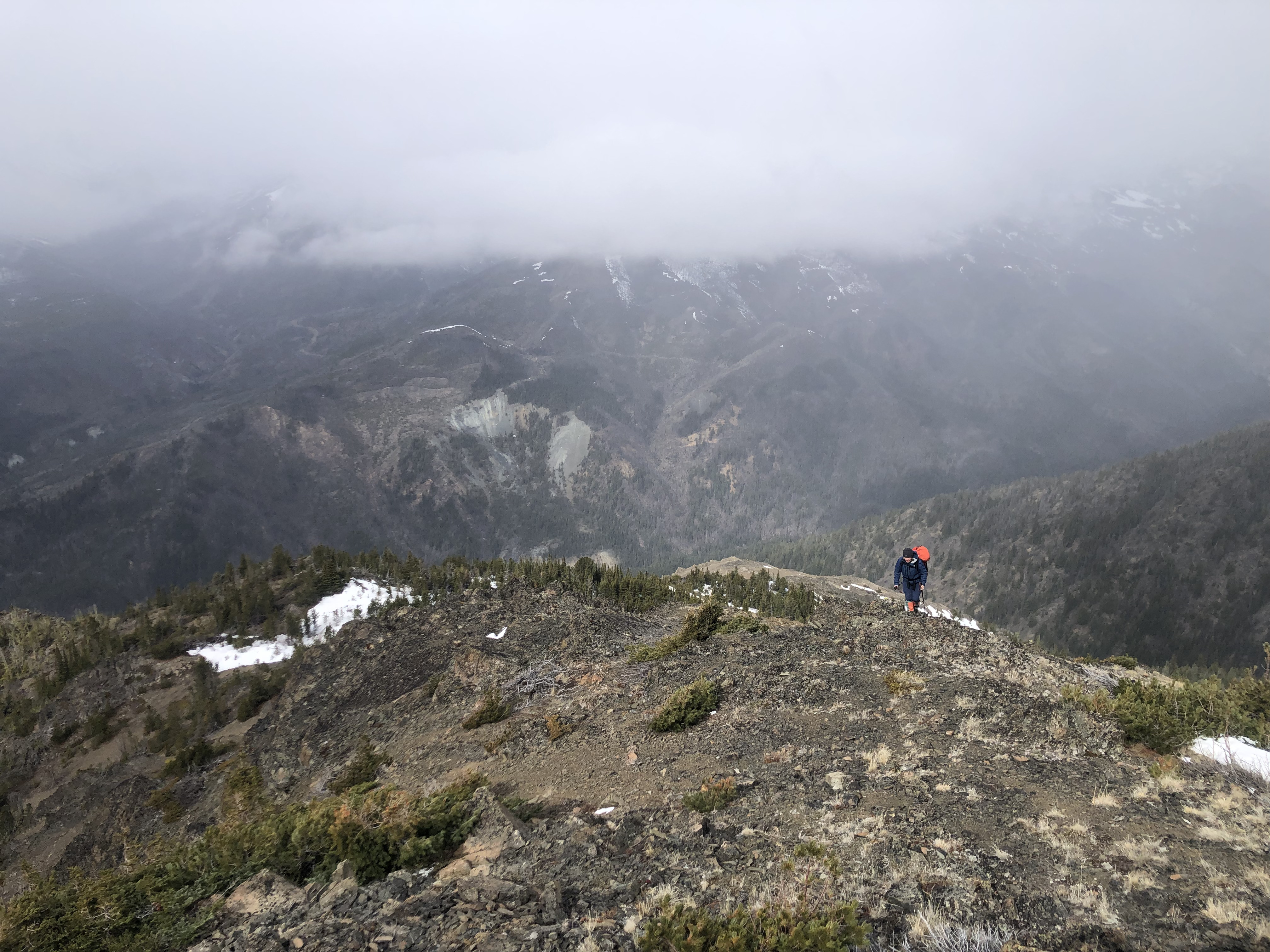
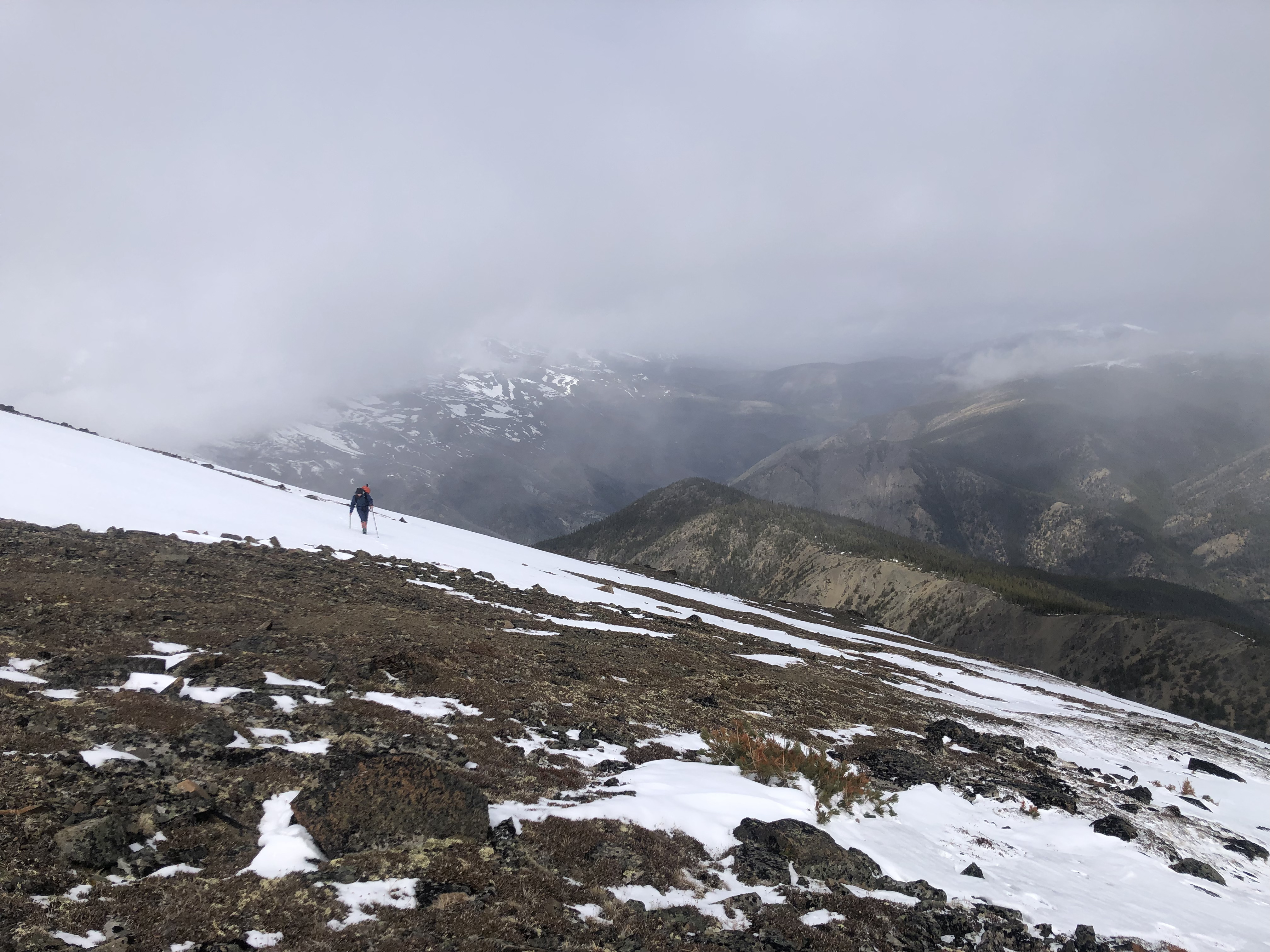
On our way down, we chose to brave the winds and stay on the southern side of the ridge and bypass all the bumps and ridges. Even though it involved a kilometer and a half or so of side-hilling, it wasn’t bad, as the slope of the ridge is pretty gentle. The clouds were continually opening up as we walked, and really started to clear as we reached the convergence of the two routes, yielding more views to the north and west, with views of Red Mountain, Poison Mountain, and Nine Mile Ridge to the north, and more of the Shulaps Range peaks visible to the west. We could also look back and clearly see the peak and ridge from which we came.
We opted to take the northern forested ridge, the conventional route, for our descent. This of course required us to descend the short but nasty section of scree. It’s only about 100 meters or so, but I can confidently say it was some of the worst scree I’ve been on, as bad or worse than the scree gully above Williamson Lake to the Welch/Foley col in the Cheam Range. Though I can’t complain too much, since we were only descending it. I’m very glad I didn’t have to ascend it, and I reminded myself of that fact repeatedly as I looked slightly to the southeast at the scramble route we took on our ascent, which looked flat-out scary from that angle.
In no time though, we were at the bottom of the scree and working our way down the northern forest ridge. The descent of this was uneventful and pleasant, being very similar to the southern ridge, with only one or two annoying sections of sustained deadfall, with the worst being right before reaching the road. We ended up popping out onto the road right at the park boundary sign.
Back at the Jeep, we celebrated our achievements with some ciders, changed into some comfy clothes, and quickly hit the road for the 5 hour drive back to Agassiz, stopping only for an A&W dinner in Lillooet. Both of us unfortunately had to work the next day, and while I managed to not be completely dog-tired at work the next day, I had a nasty headache for much of it.
Overall I would highly recommend this mountain for anyone looking for a not-too-difficult day in the Lillooet area who isn’t afraid of a longer drive or more ideally, into road/camping/hiking trips like we are. We thoroughly enjoyed it, and left with a definite desire to return to the Yalakom Valley for more peakbagging, camping, and exploring, as there is so much to see out there.
I would also highly recommend doing exactly what we did and using the southern forested ridge and scramble for the ascent and the northern forest ridge and scree slope for the descent. It makes for a far more enjoyable ascent from the forest to the main ridge while keeping the distance and elevation stats virtually the same.