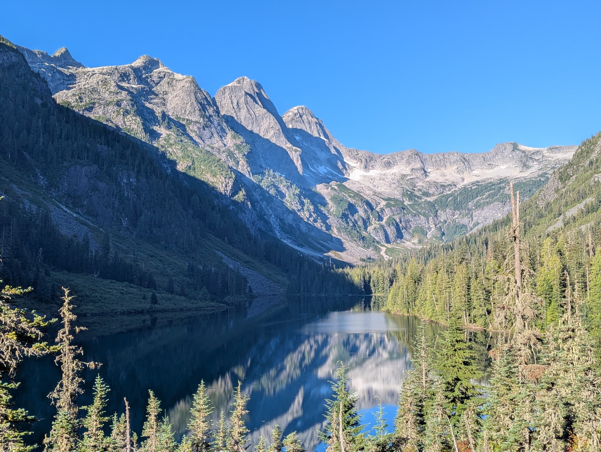
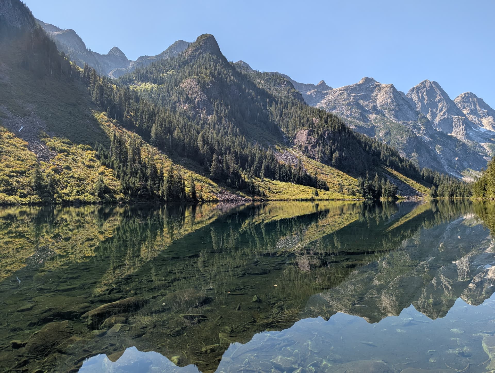
One of the very first hikes I did after moving to the west coast was up to Statlu Lake. I remember being amazed by the sharp granitic peaks and faces around that amazing lake. Eventually I Iearned the names of some of the peaks in the area, and became aware of the VRC traverse above Statlu. It was on a “maybe one day” list of mine before I learned any real mountain skills.
Fast forward a few years later, and I had climbed a few peaks in the area, becoming more familiar with the amazing granite and horrendous bush/approaches in the area. I had deliberately saved these three peaks to do together in a traverse (even though they are often done independently), and it was finally time; there was a good weather window + Trev was available.
We debated doing it in a day - even though many parties who do that get benighted - I was pretty confident that we would be able to, as I expected we would be able to solo and scramble most of the route. In the end, we decided to to it over two days, my rationale being that if we day hiked it, I’d probably be too tired to do anything else the next day anyhow, so we may as well enjoy some nice mountain sunset and sunrise views up in the alpine.
We left Van at ~0345 Saturday morning and ripped up to the West Harrison FSR. The road was definitely feeling chunky and rattly, with many many potholes and washboards, but we eventually made the ~30km drive towards Mystery FSR, which was actually in much better shape, save for the last km or two before the TH.
While gearing up at the parking, we met four other guys who said they were also doing the VRC that weekend. This ended up being the only time we really talked to those guys.
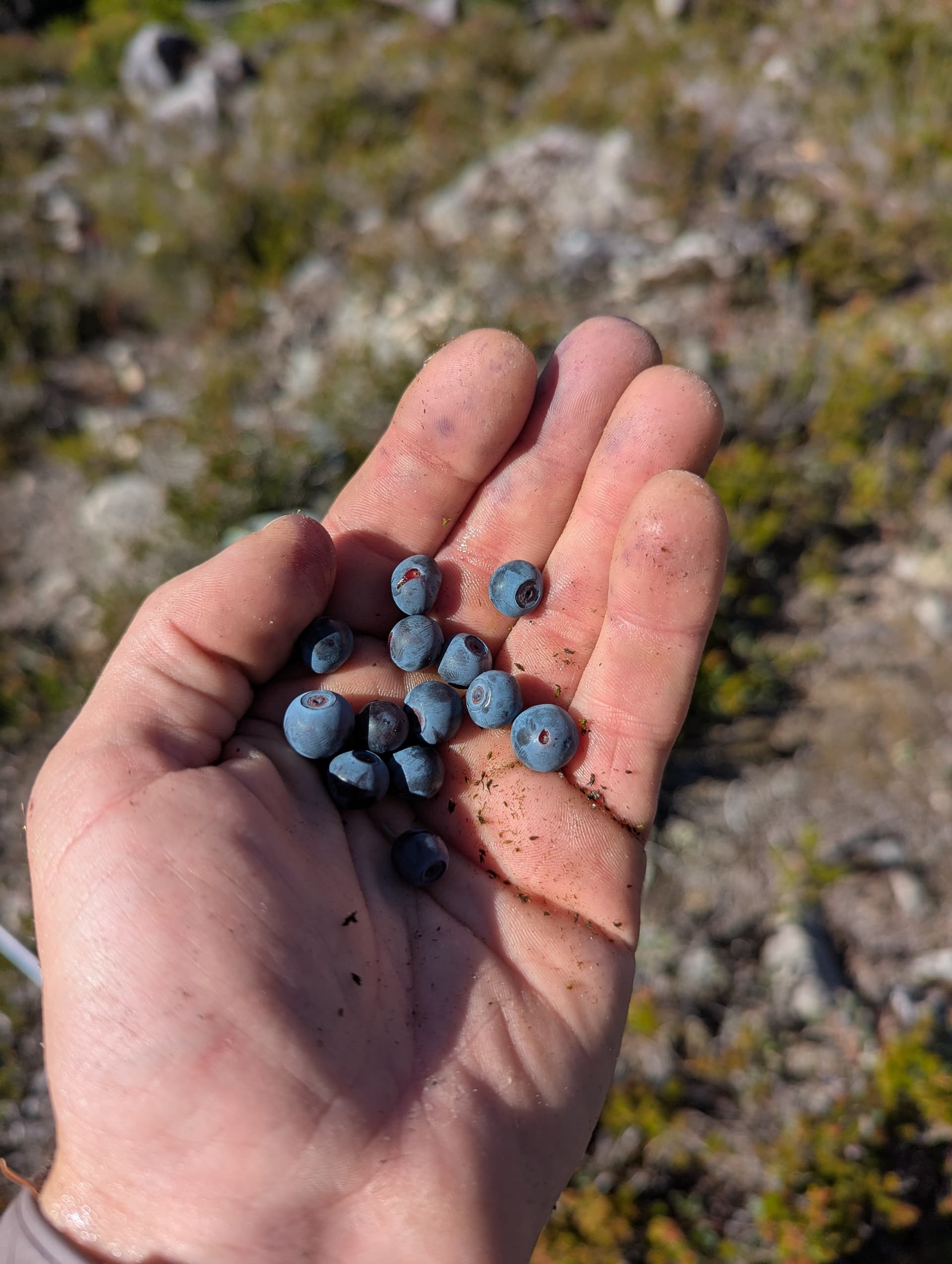
We set off down the trail, which is quite good up to the very pretty Statlu Lake. We were unsure how much water/snow would be accessible on route, so had brought about 2.5L each, as well as a stove + fuel to melt snow if need be. It was already feeling pretty warm by the time we got to the lake and started up the long talus gully to the ridge - we were doing the “full traverse” instead of the variation that gains the ridge just east of Viennese from the upper Brotherhood lake. Fortunately, this talus gully was not yet in the sun, so it was a nice cool ascent to the ridge. Once we got there, there was unexpectedly a little bit of light BW1 bushwhacking until we gained the alpine proper. Now it in the sun, it felt very very hot, and our pace slowed as we stopped frequently to feast on the many blueberries, perfectly ripe and sweet.
We kept an eye out for water, and despite a few small and dirty tarns that we weren’t quite desperate enough for yet, saw nothing moving. We scrambled over the numerous bumps and gendarmes on the ridge until we got just below “Peak 6500”, the last main bump east of Viennese. There were exposed granitic slabs climbers left on the South Face of the peak with melting snow, so we made the 5-10m detour to go and drink water and refill our bottles. The water here was moving fast and will likely be reliable for at least another week or two.
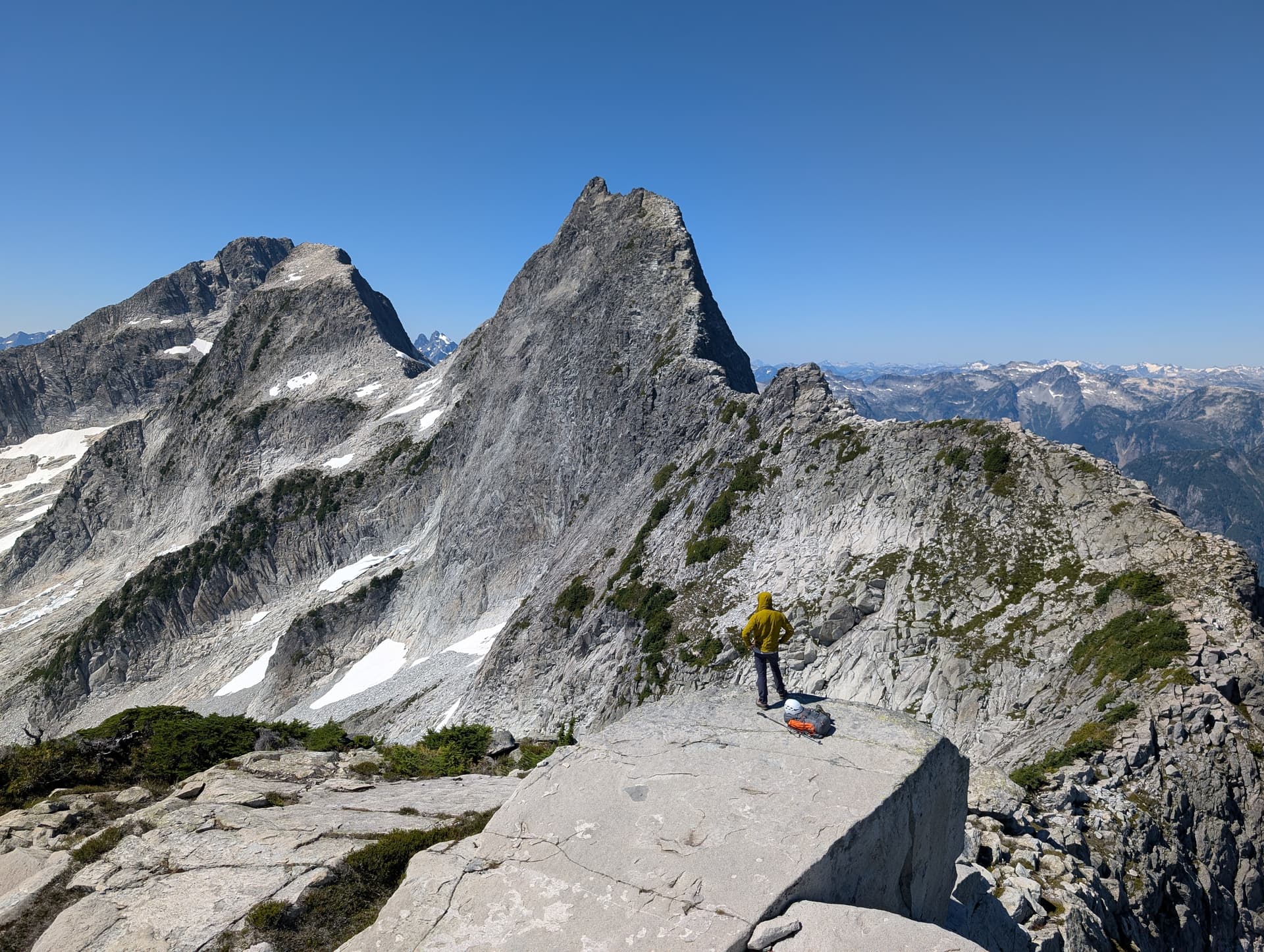
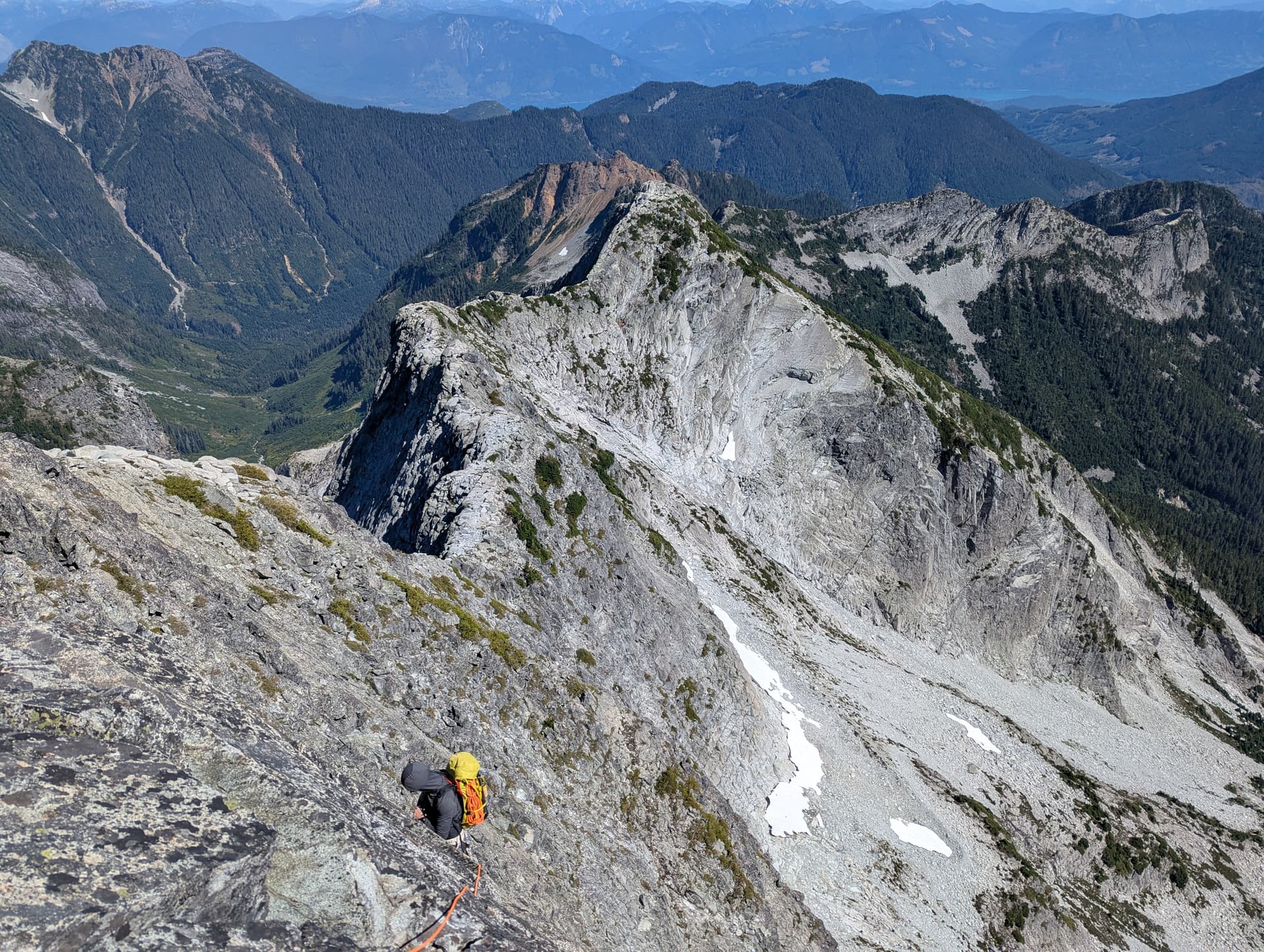
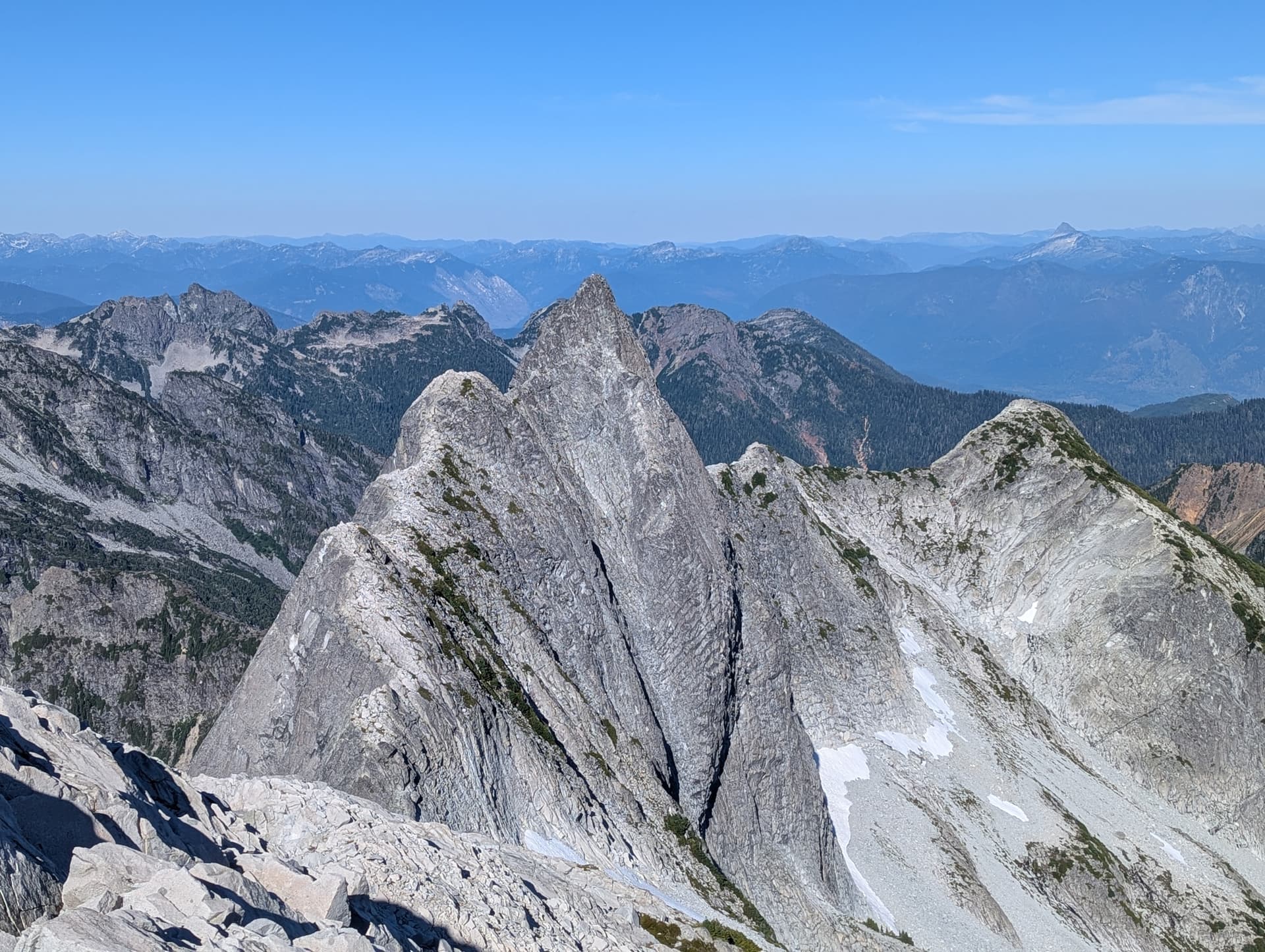
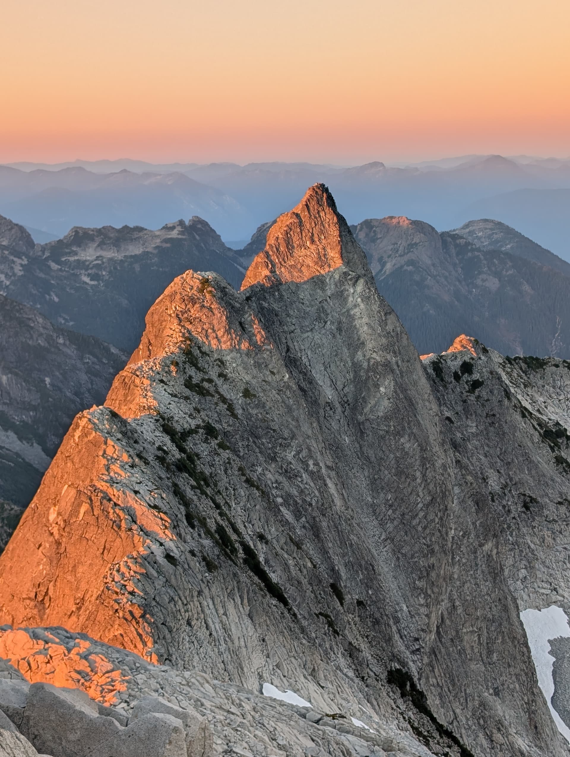
Refilled, we scrambled up Peak 6500 and soaked in the rad views of Viennese’ sharp east ridge. This is the famous vista that everyone who wants to the VRC has probably been inspired by. We put on our rock shoes at the base of the peak, as we know it eventually hit 5th class, and scrambled up the ridge. It was mostly easy scrambling, until we were directly under the final summit block. We had heard there were a few options here, and climbed what seemed an obvious weakness - a slabby traverse climbers left, then cutting back right up a weakness on the slab up to a bay below an overhung chockstone. To the left, there was a left leaning 0.75 sized crack that could be pulled into with a layback move or two, then some airy moves pulling through slightly exciting thin and lichen-y flakes. Not sure if this was the main route people take, but we did pitch this one out and it was about 25m with just a few moves of ~5.8. That deposited us on the summit!
We saw two rap anchors on the Viennese summit, but the descent looked easy enough, so scrambled down some corner systems to a bench on the South Face, then traversed west across ledges off the peak. There was some more 4th to low 5th downclimbing to get to the Viennese Recourse col, where we started to search for water again. We found a large snowpatch on the north side of the col that did have a very slow drip. It took about 10m to fill a 1L nalgene, so we took a 40m+ break each drinking plus refilling a litre, since we expected this would be the last moving water until the descent.
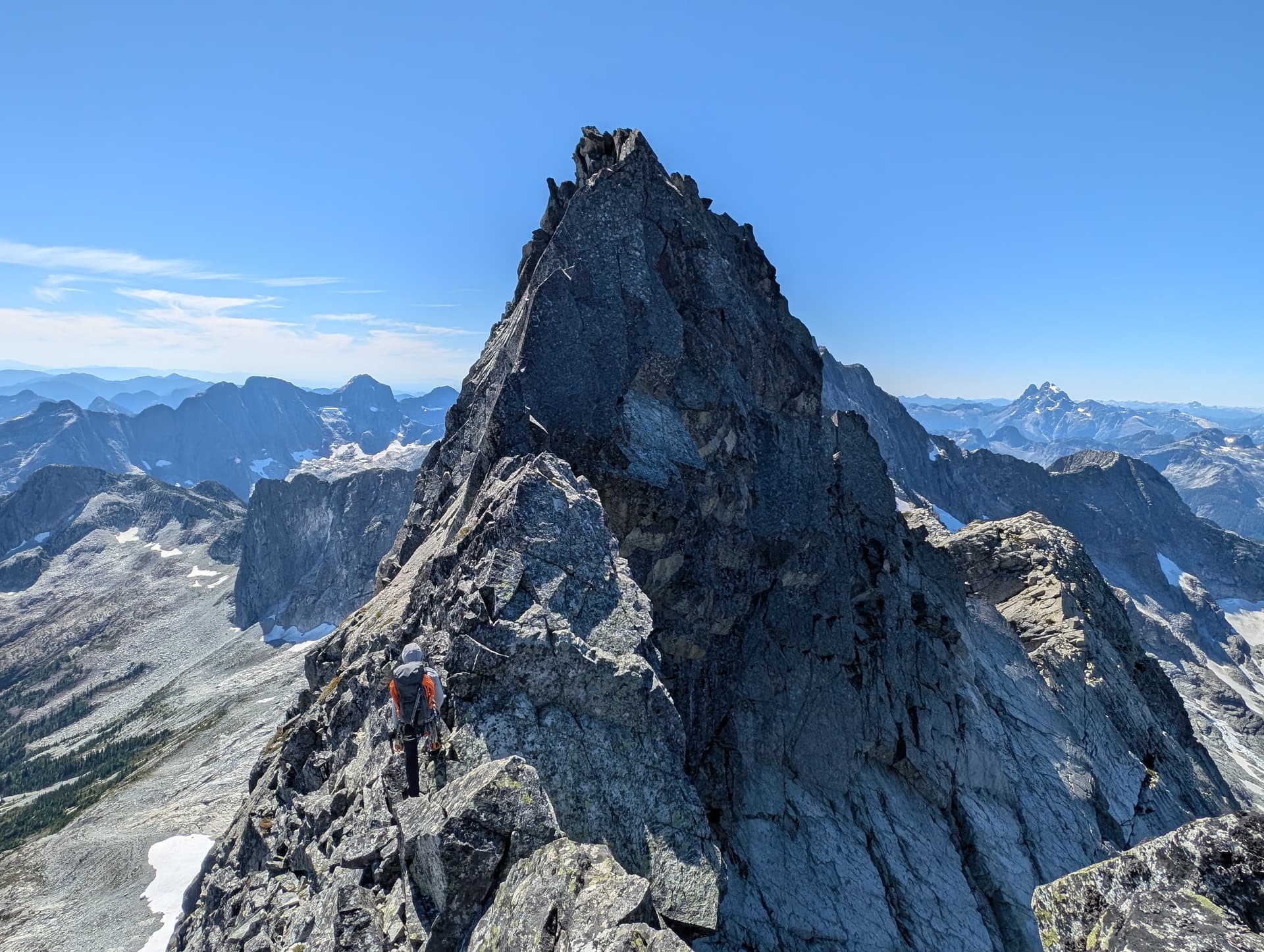
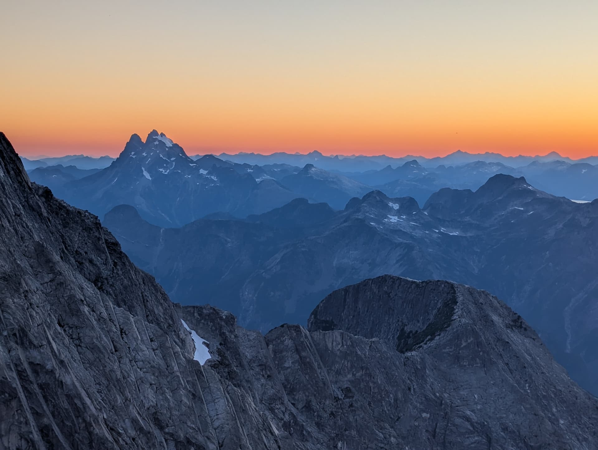
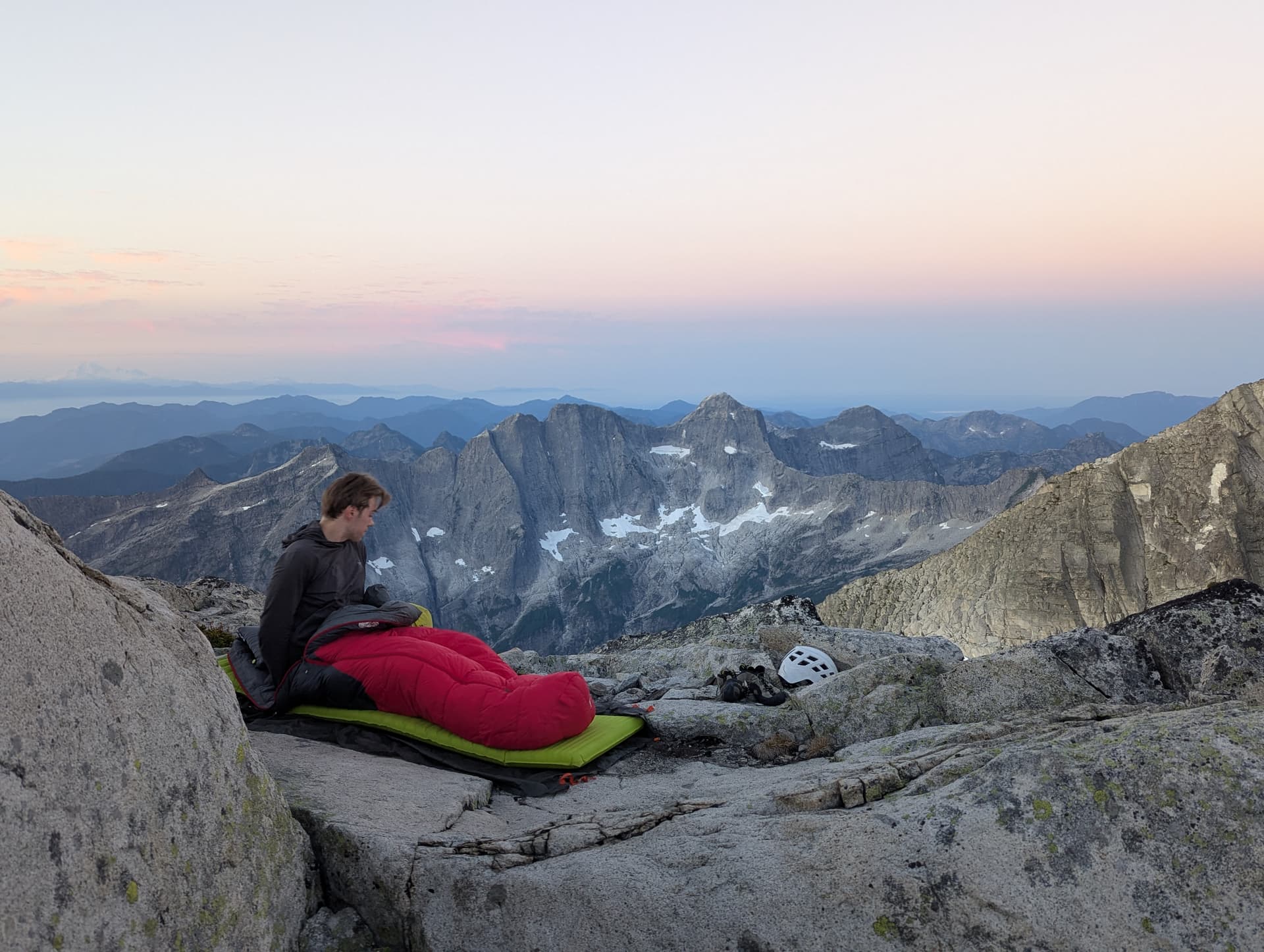
From there, we scrambled up Recourse’s east ridge easily. The so called crux is a short low angle handcrack that is probably 3rd class if you know how to jam at all. The summit views were great, and we decided this would be a scenic place to camp, so set up some bivy spots and enjoyed a lazy evening and eventually beautiful sunset up on the summit. The sky got very red, indicating what must be some smoke in the air. I woke up in the middle of the night and could see the milky way above me. Truly magical.
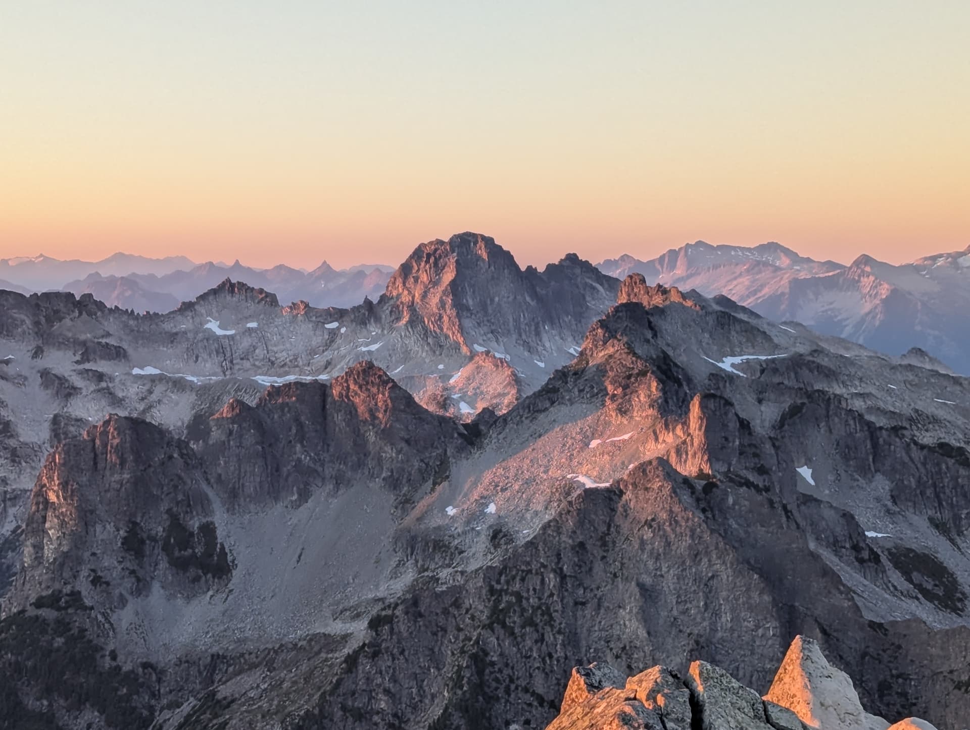
In the morning, we woke up with the sun, and packed up and set off. We downscrambled Recourse until just below the notch / col with Clarke, whereby a hanging slab seemed to drop off to nothing. We saw a rap anchor, so did a 30m rappel down to the notch. The unseen drop after the slab actually proved very tame, so this rappel is not really needed in the end.
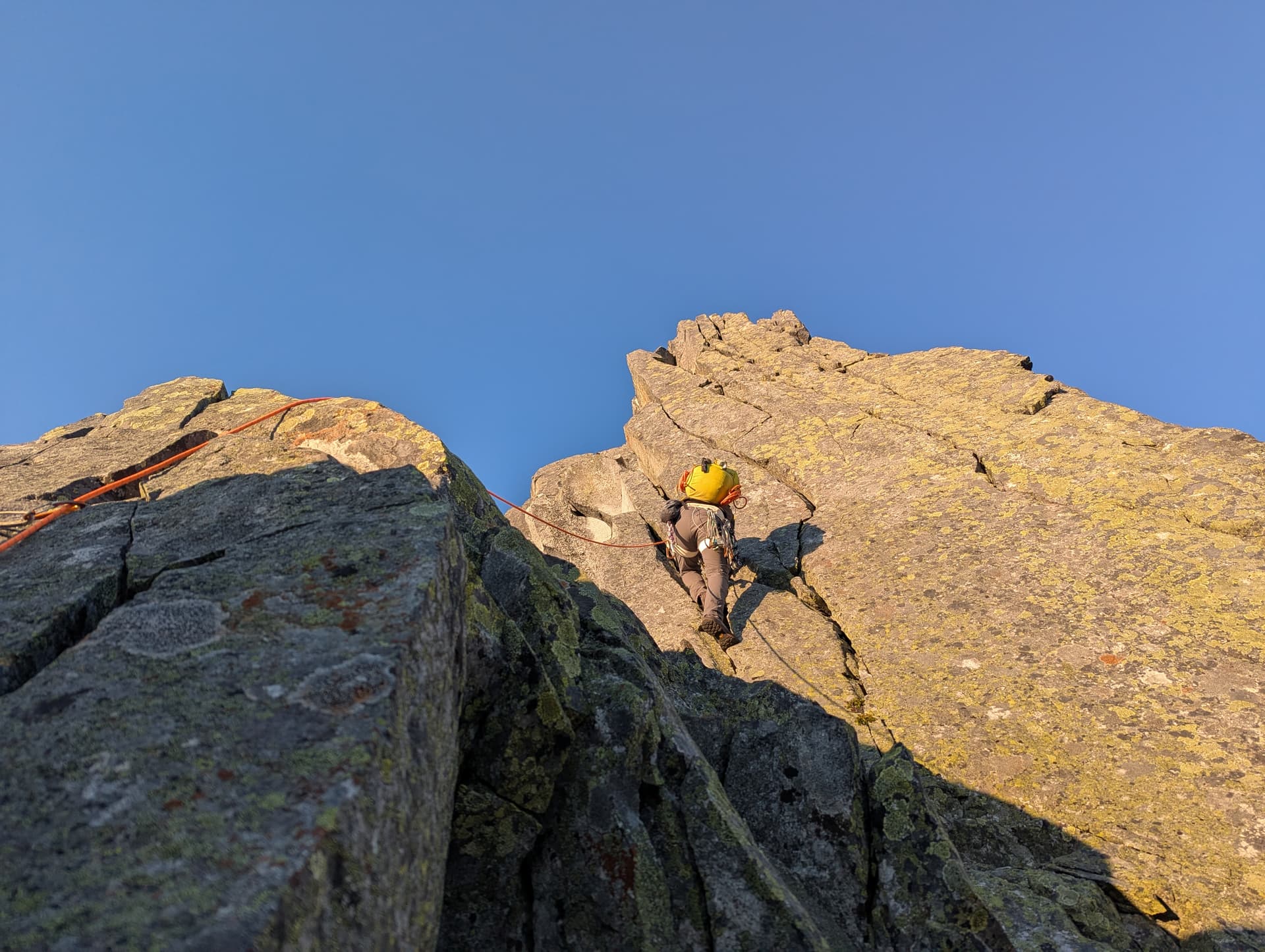
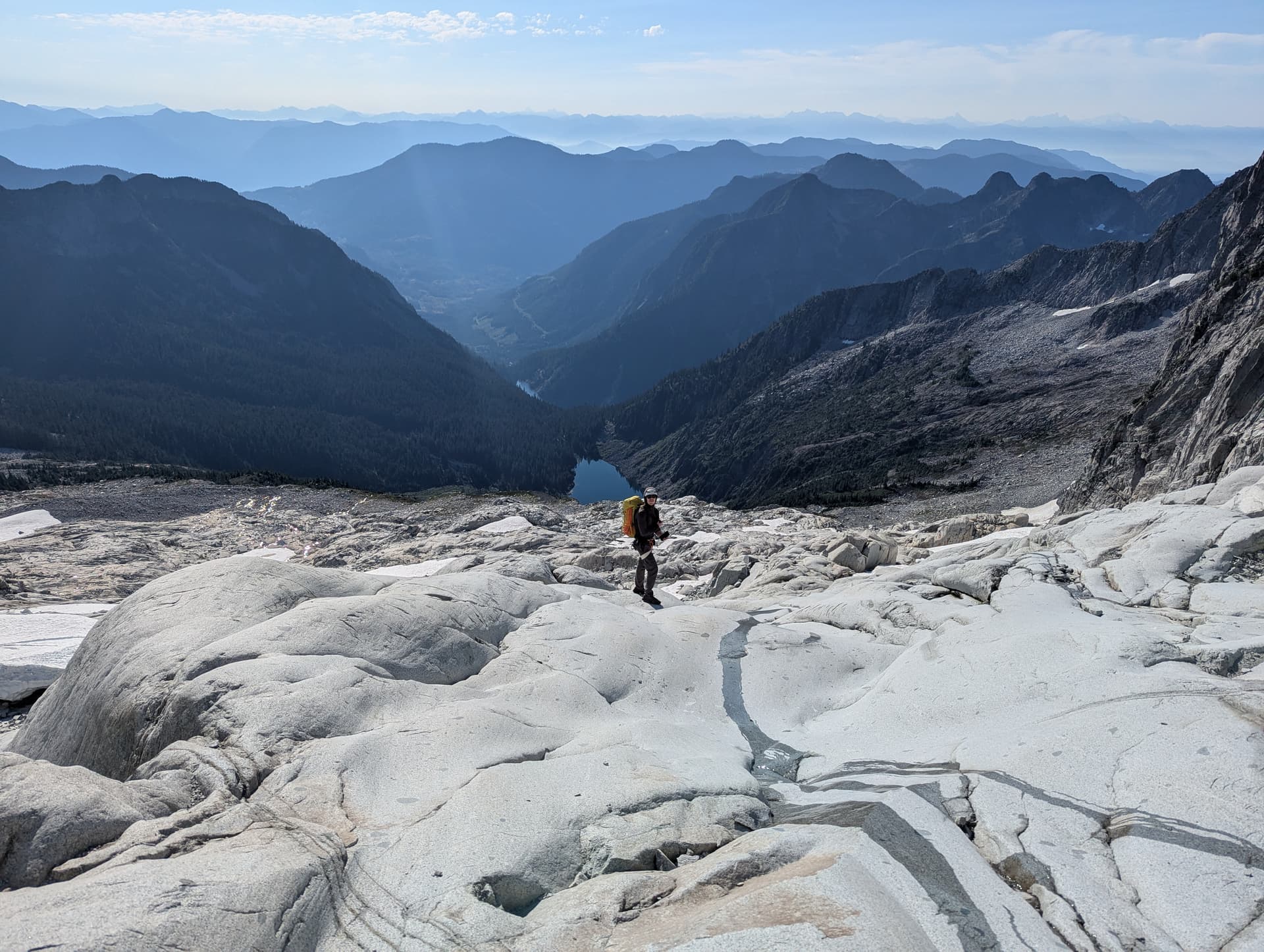
From there, we did two easy pitches up Clarke before putting the rope away and enjoying some fun scrambling on great rock up to the summit. Views were fantastic, but it was feeling insanely hot, even hotter than yesterday. We quickly started descending the SE Spur until about 2030m, at which point one can drop skiers left / south down some easy ramps onto a large bench, from which an established rap station will deposit you in the upper cirque via a ~20m rappel. We donated some new tat + a ring to this station.
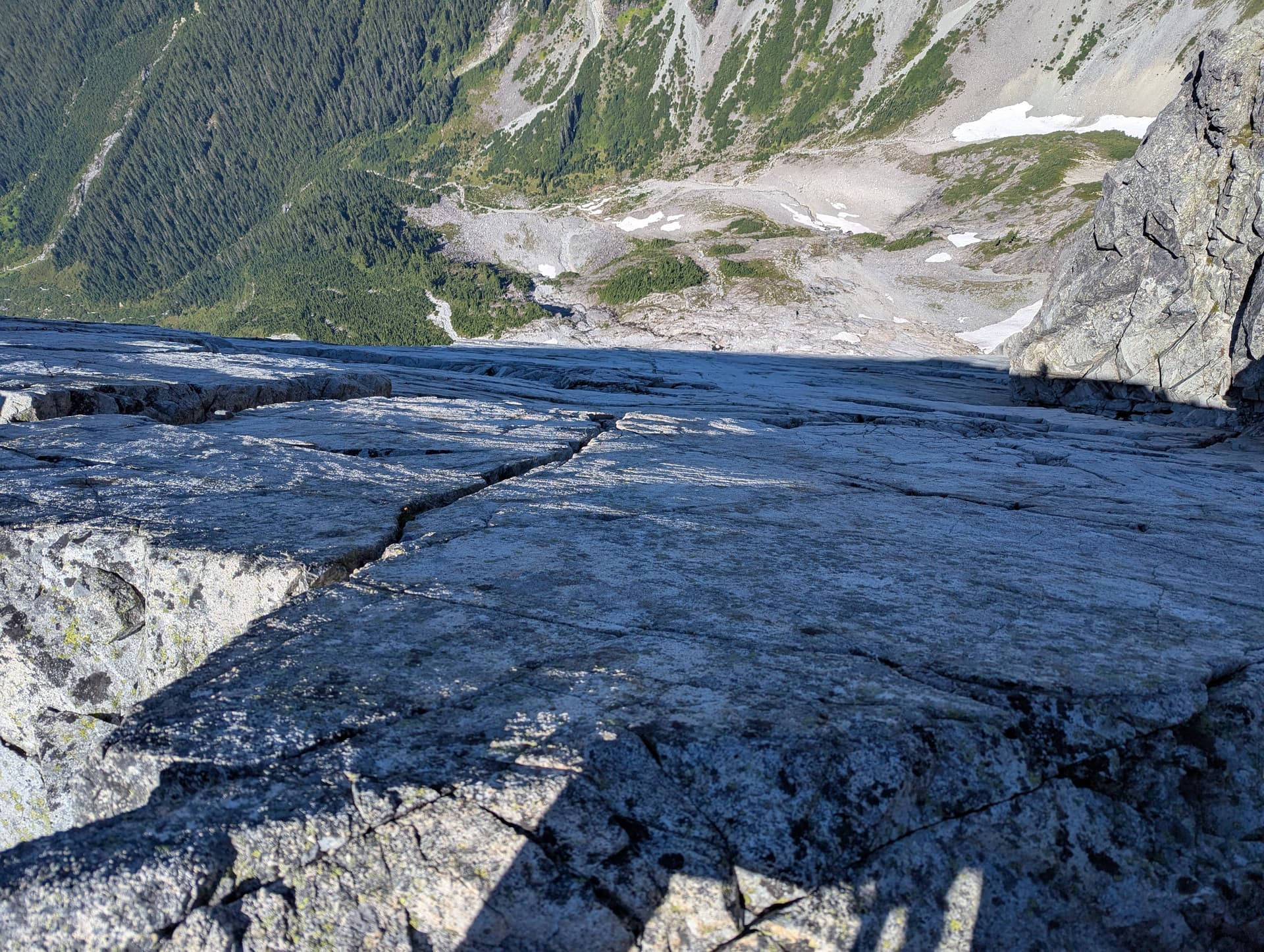
From here, the descent was down some absolutely magical clean glacial slabs, full of running water. This was reminiscent of the Stonerabbit approach, or the cirque below Grainger. We had heard mixed things about the descent to Brotherhood Lake, but since the day was still early (i.e. not night time), we could spot many cairns and flagging later in the trees. We also had Anthony Mara’s GPX which proved a good guide, and allowed us to get back down to the upper lake with no bushwhacking at all. There were sections that would definitely be hard to find in the dark, so I understand how some parties have a bad time here. Similarly, a lot of the descent is on granite slabs beside waterfalls - these were dry for us, but if they were wet earlier season, that could indeed complicate the matter.
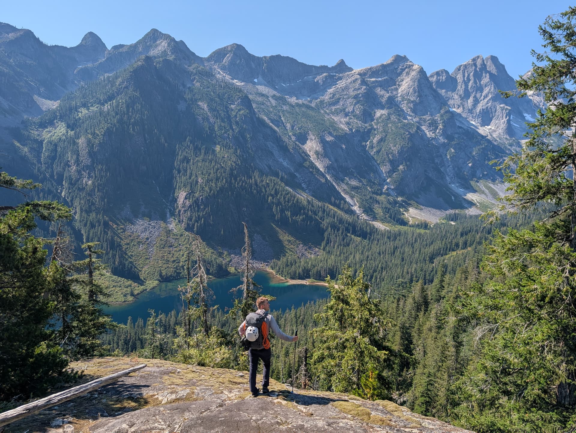
Once back at the upper lake, we followed the very steep trail back down to Statlu. It was feeling thermo-nuclear hot at this point, so a dip in the lake was required. We then hiked out and ripped home. I ate 3 ice cream bars when I finally got back to my place.
This was really an amazing trip in a beautiful area that I cannot recommend enough. Definitely best done when you are comfortable soloing up to low 5th so as to make the terrain go by quickly and enjoyably.