I did Kelsilkwa almost a month ago from the newish 4x4HC road that reaches up to 1400m. On that trip I could see it is only 200m gain of bushwacking to get to the 2 small lakes below Custer Ridge and a plan was hatched. I was going to attempt Thompson from those lakes along the north ridge. Well it turns out I have no original ideas. There is an old faint trail that leads to those lakes and a route that takes you all the way to the top, and to twist the knife a bit more there were fresh footprints up the route I had thought I had come up with.
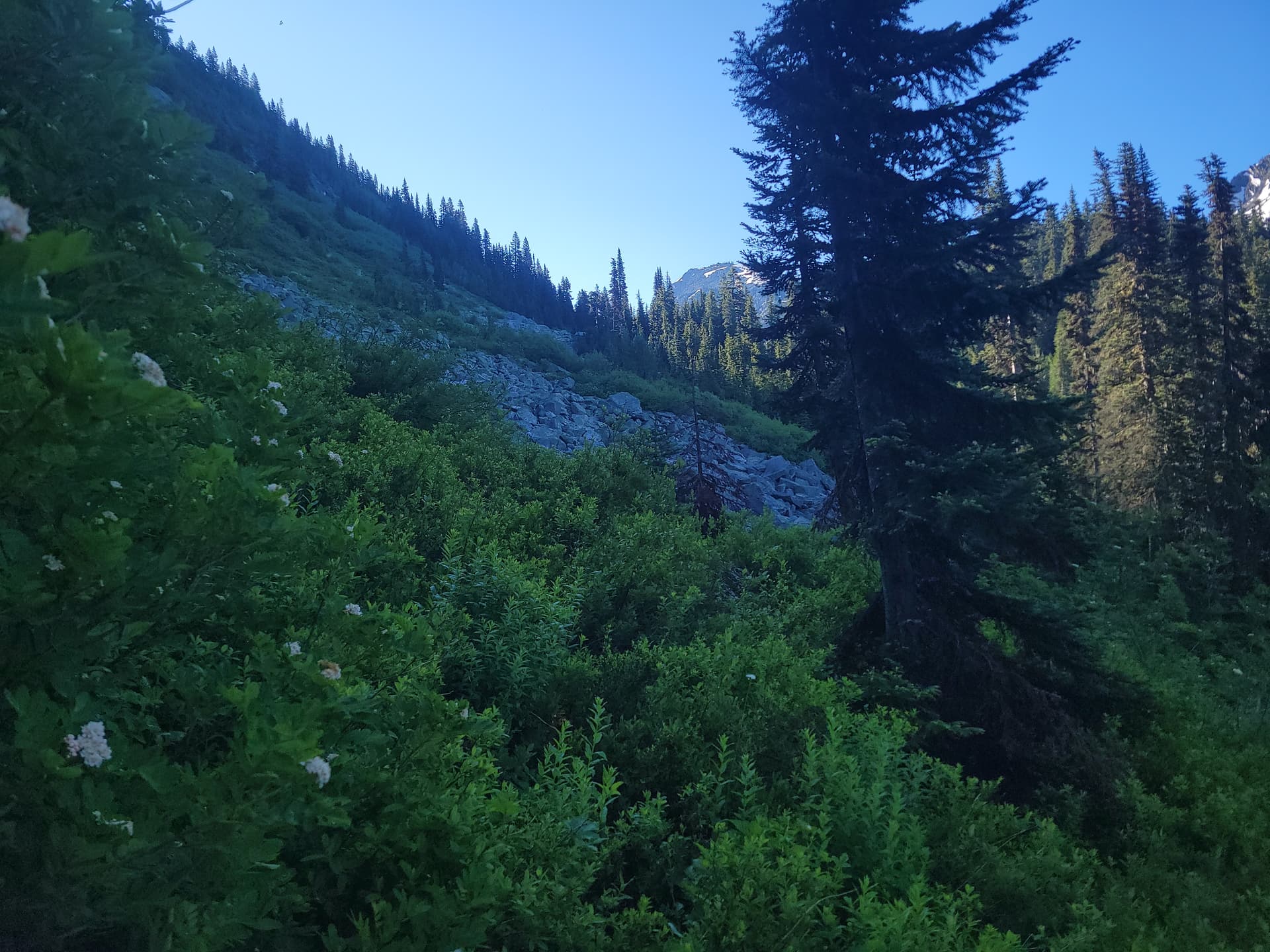
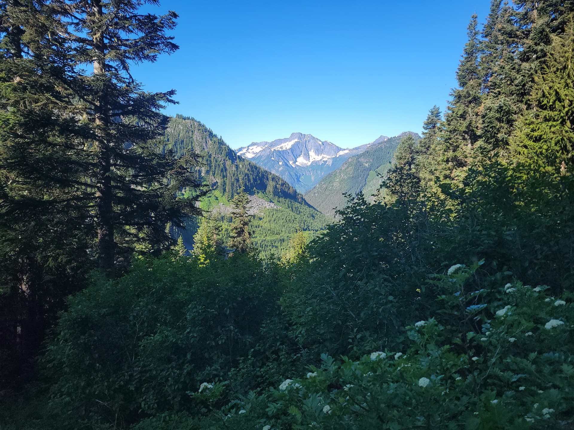
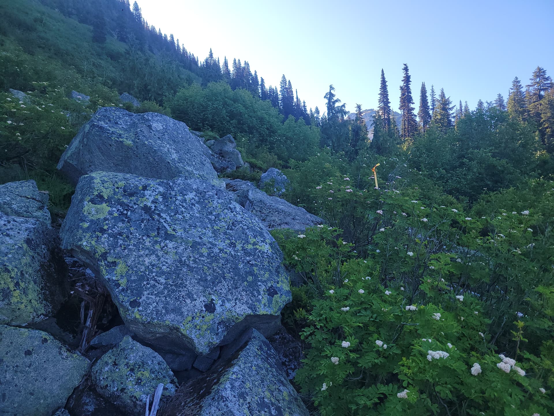
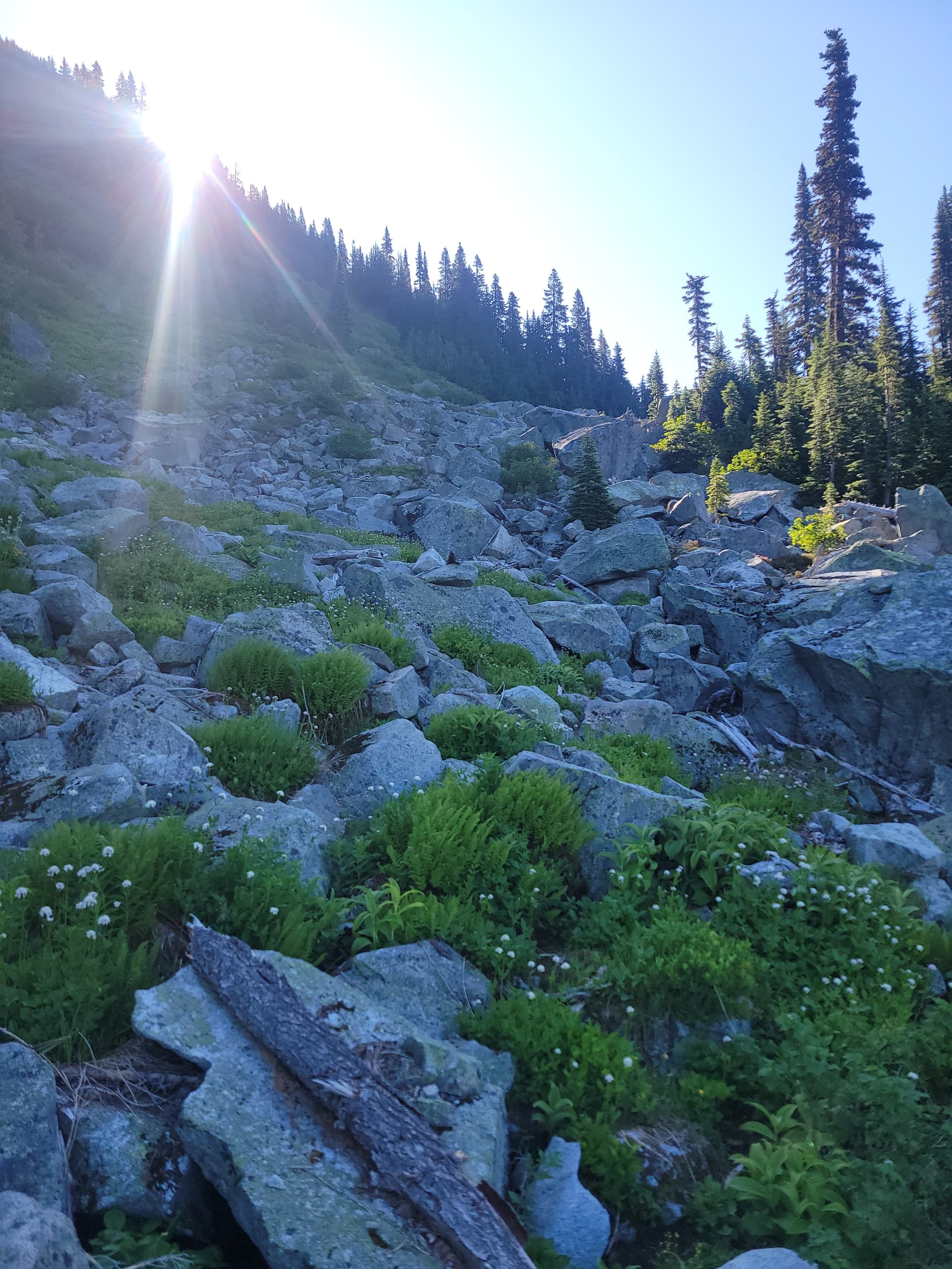
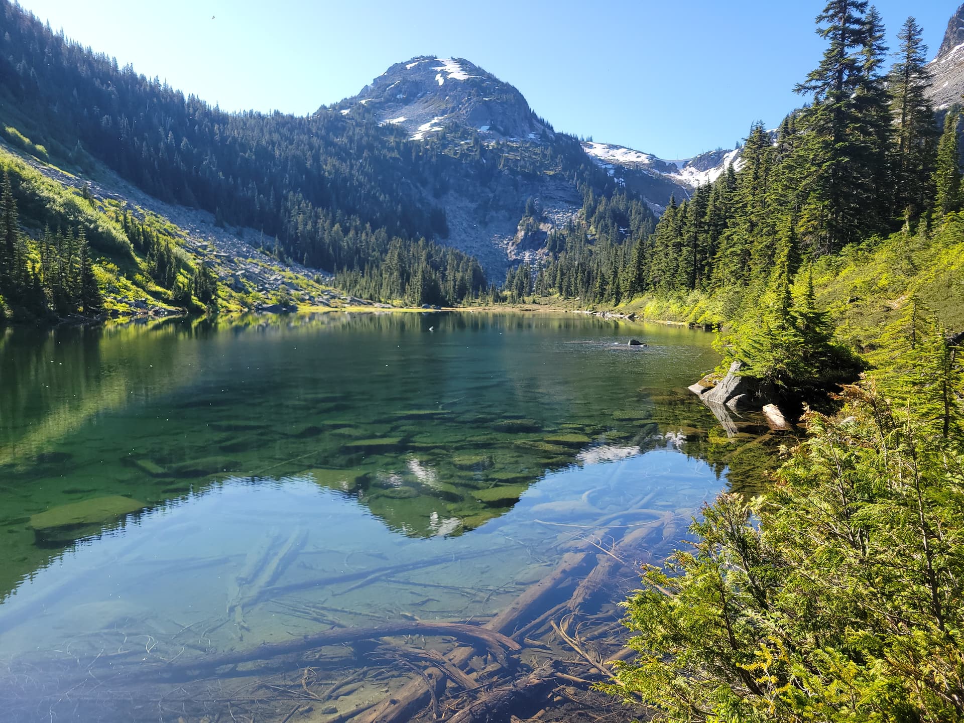
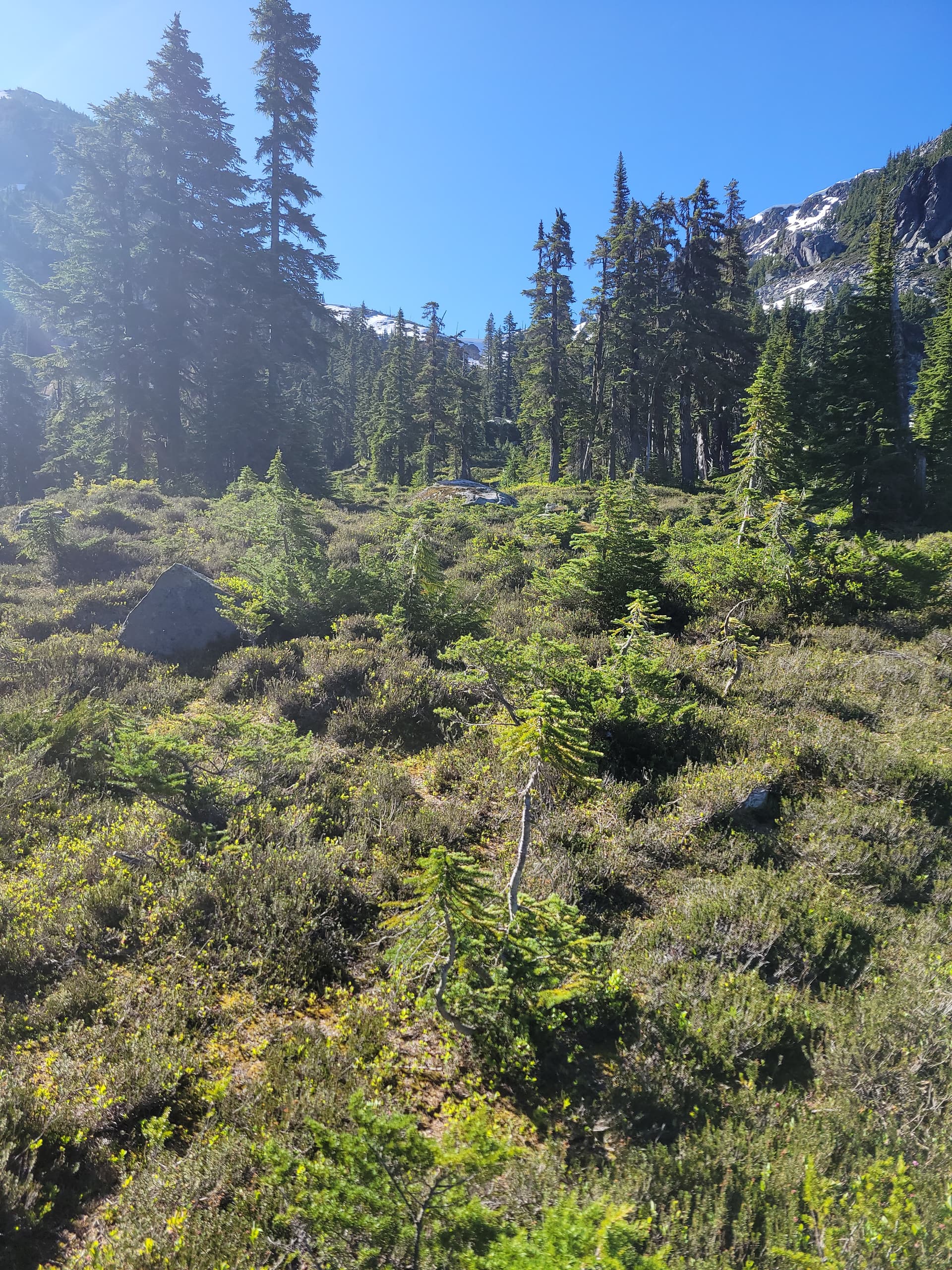
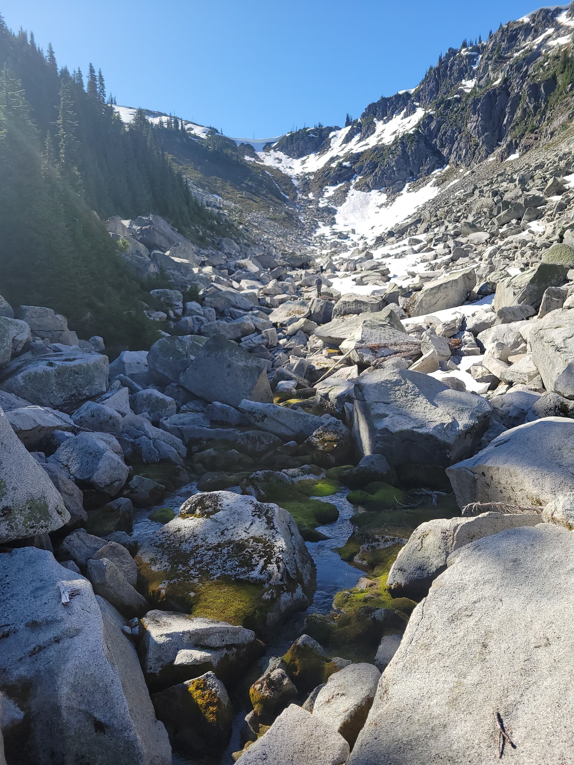
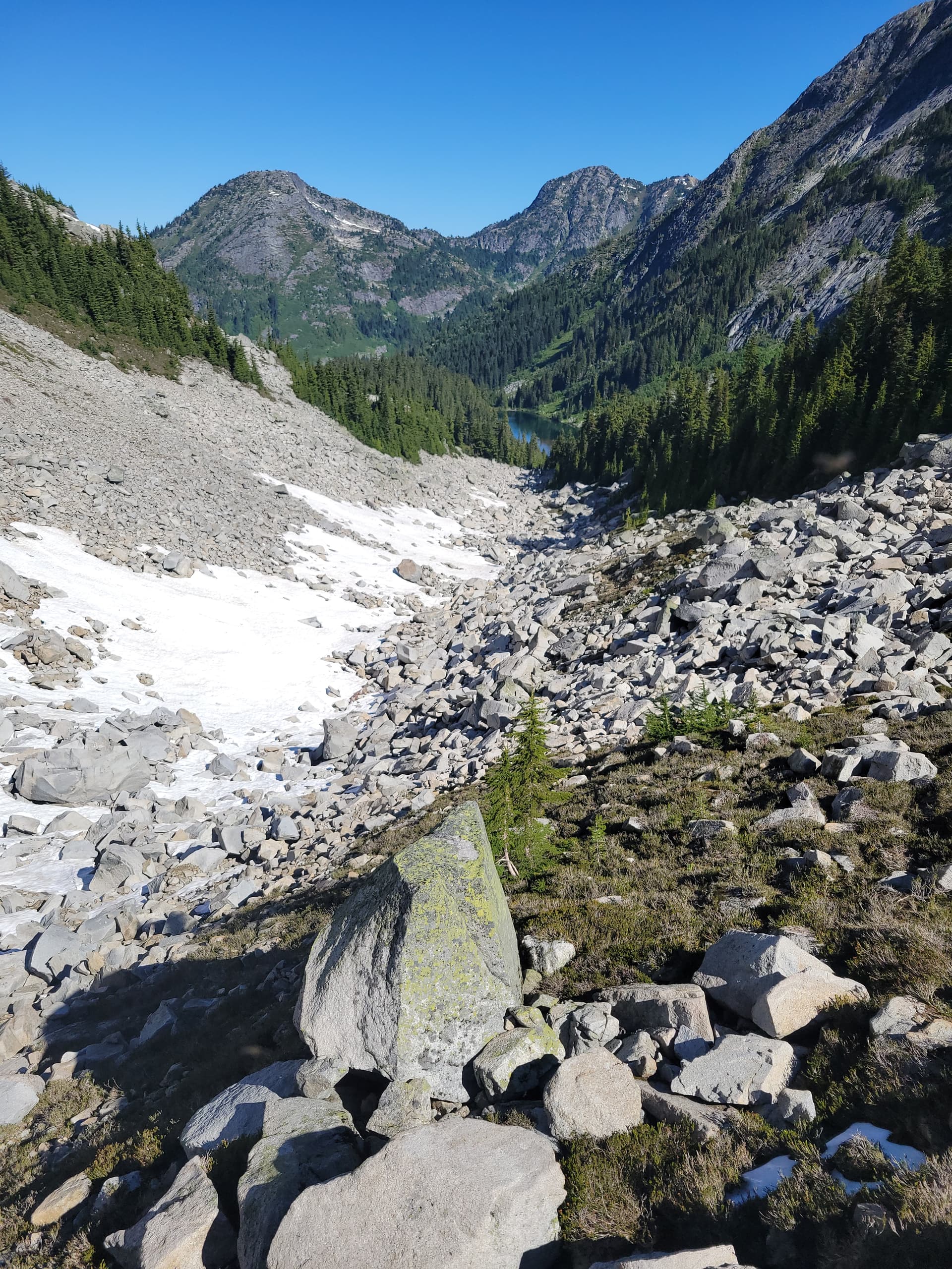
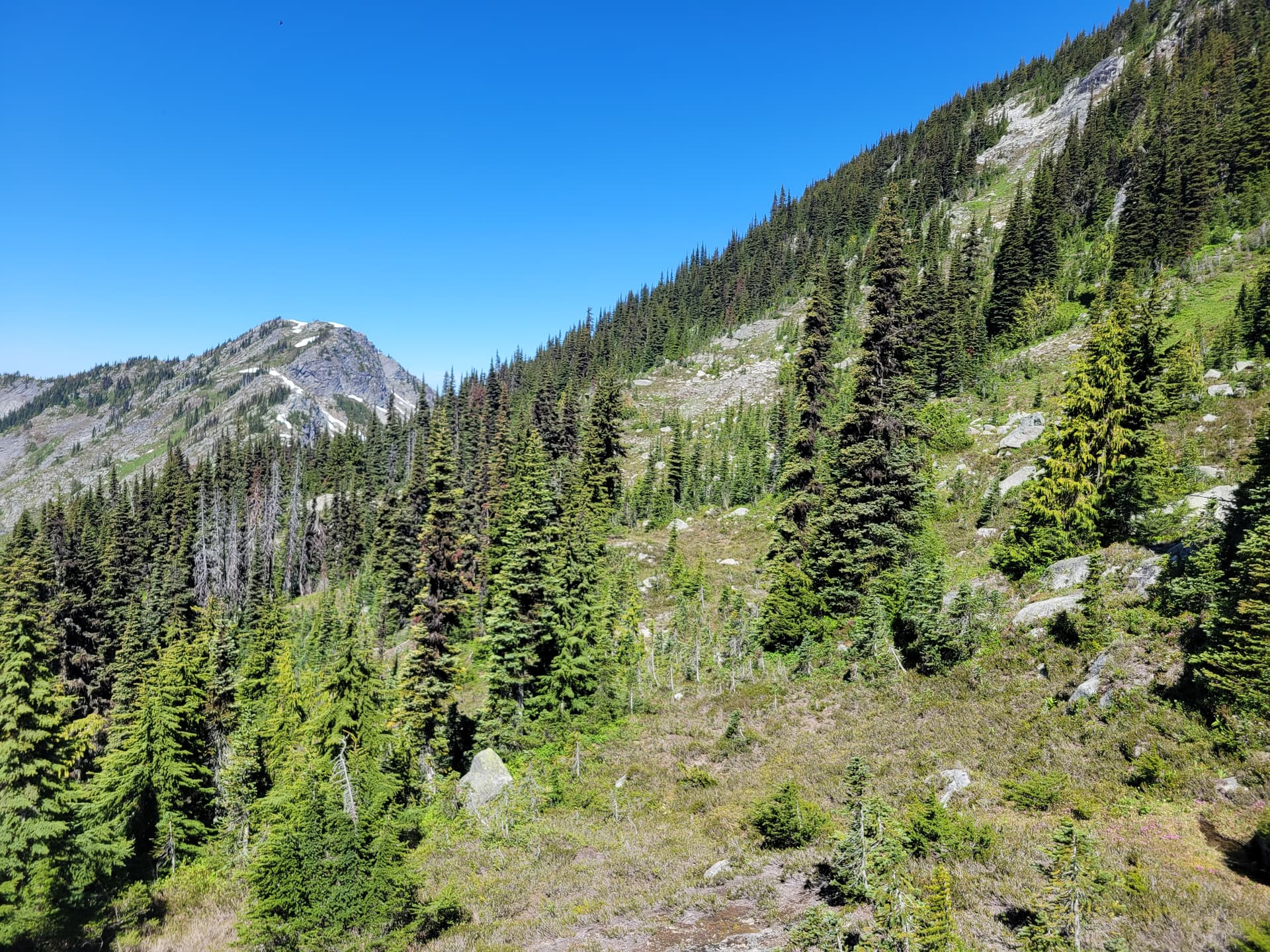
From the top of the final switch back on the road it’s a short thrash through the slash to get into some pretty wide open mature forest. From there we picked up the old faint dissappearing trail that leads you to a boulder field. From the bottom of the boulders look up and along the climbers right bush line for a single ribbon. That will show you the way to the second boulder section you have to ascend to get to the outflow of the lower lake with a trail leading to the second lake that has some beautiful camping and swimming spots.
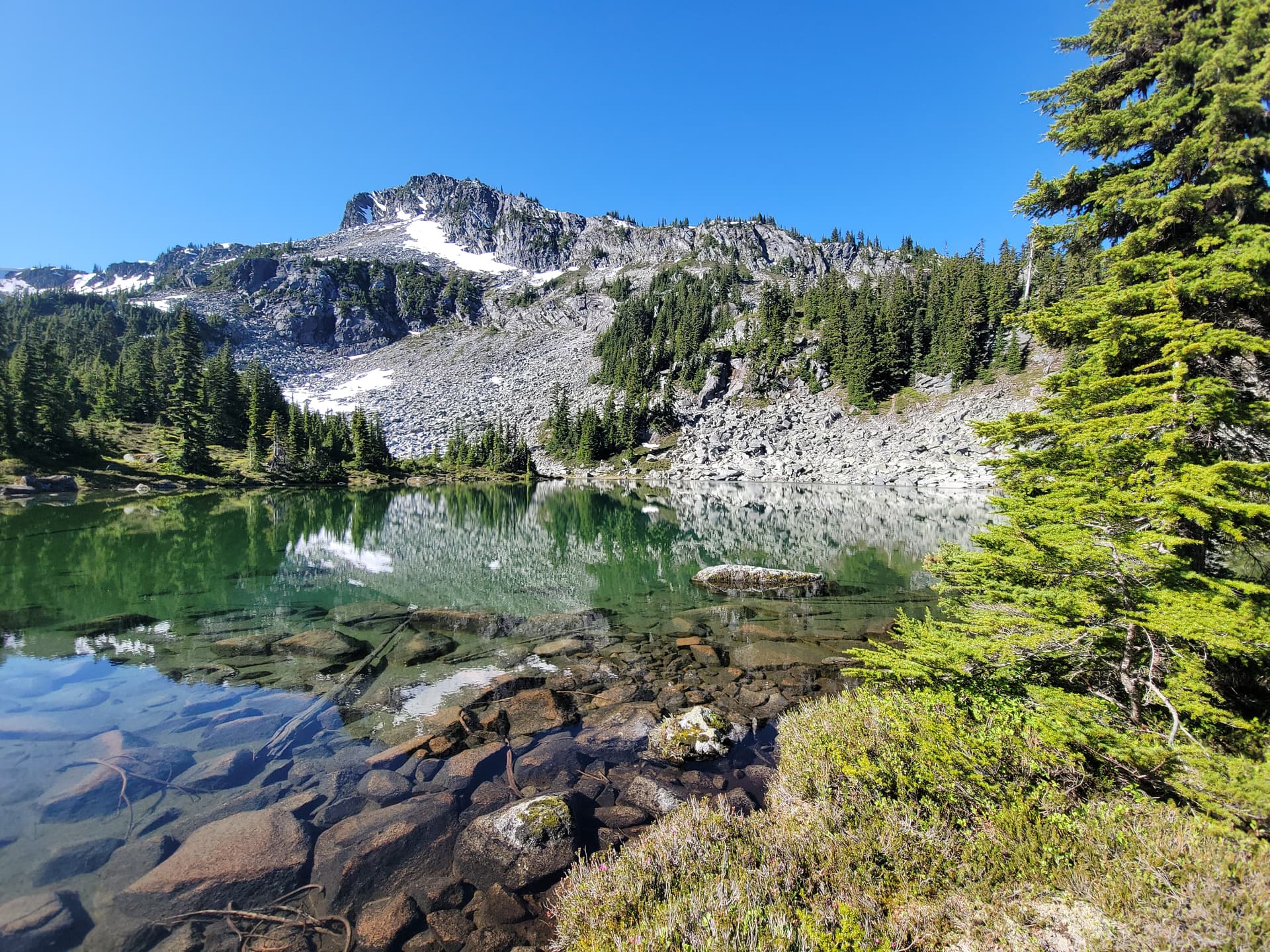
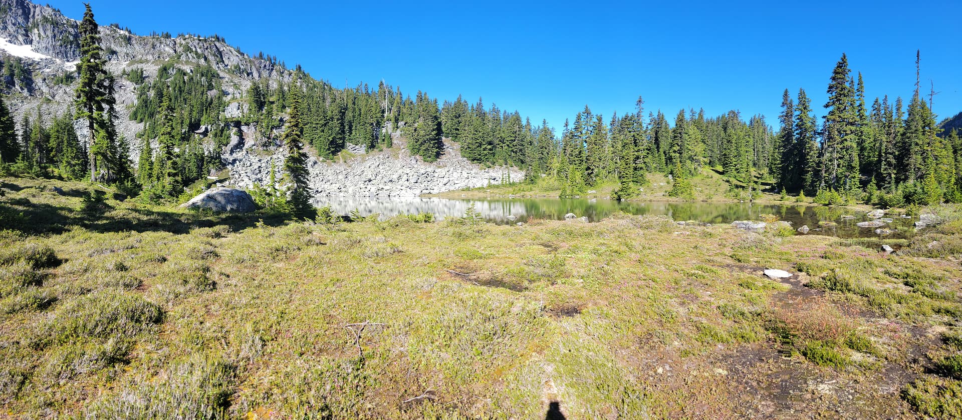
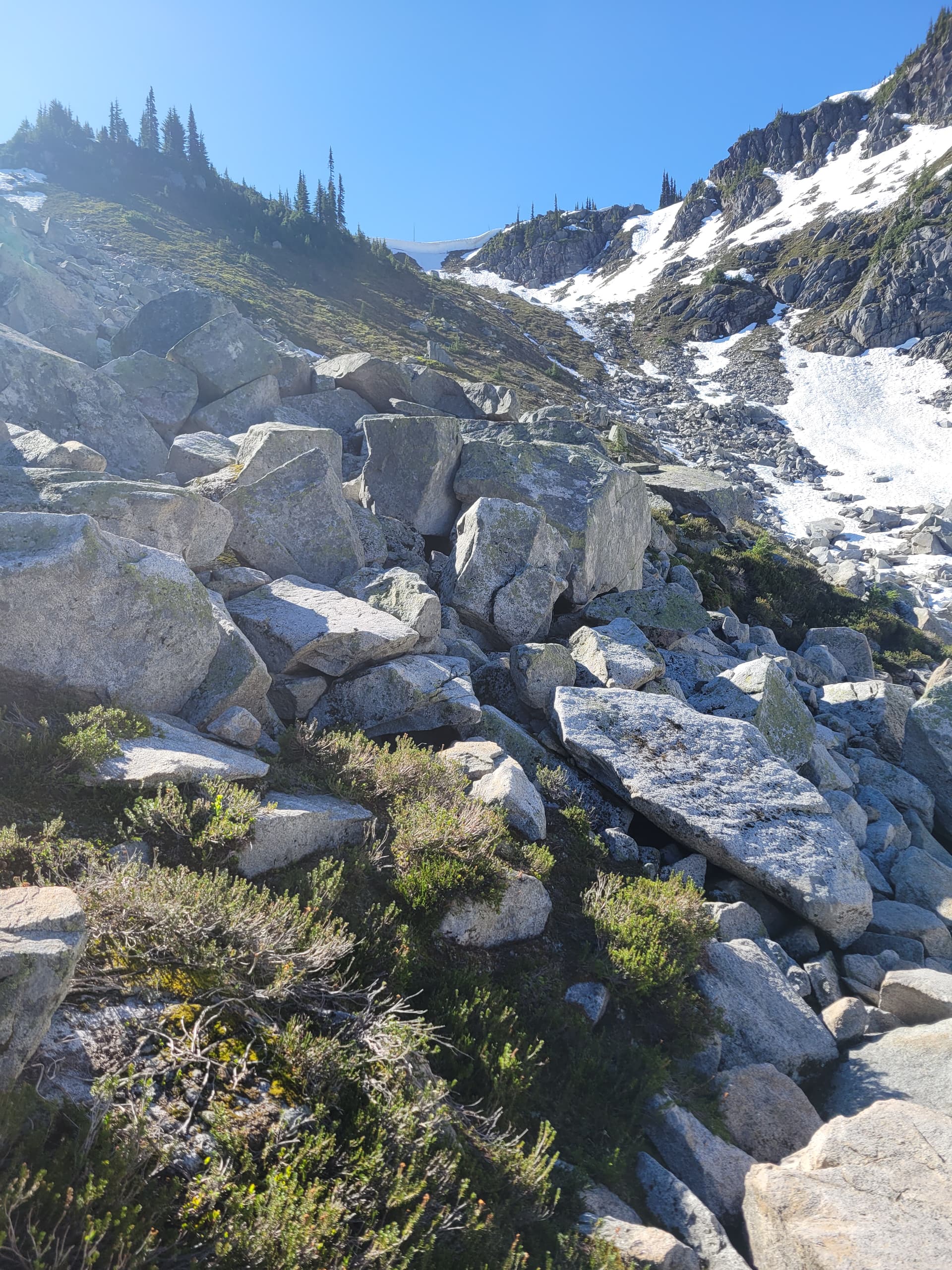
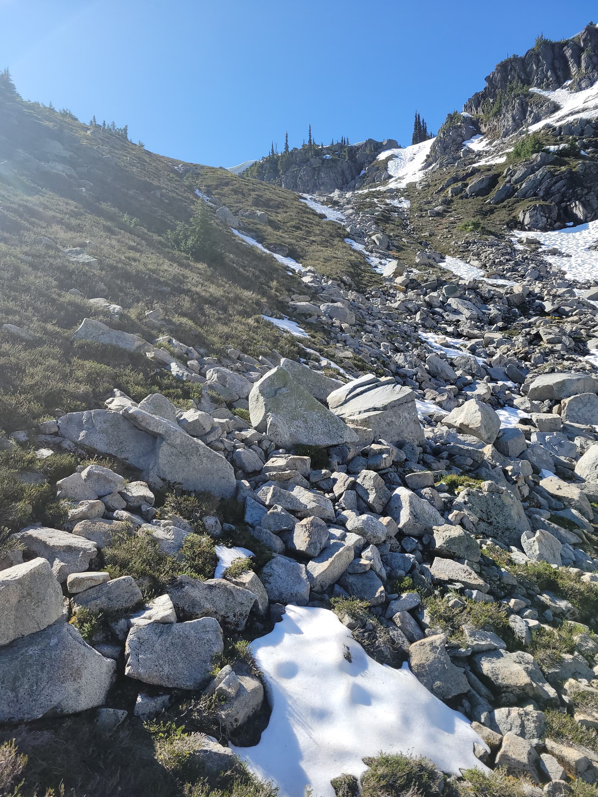
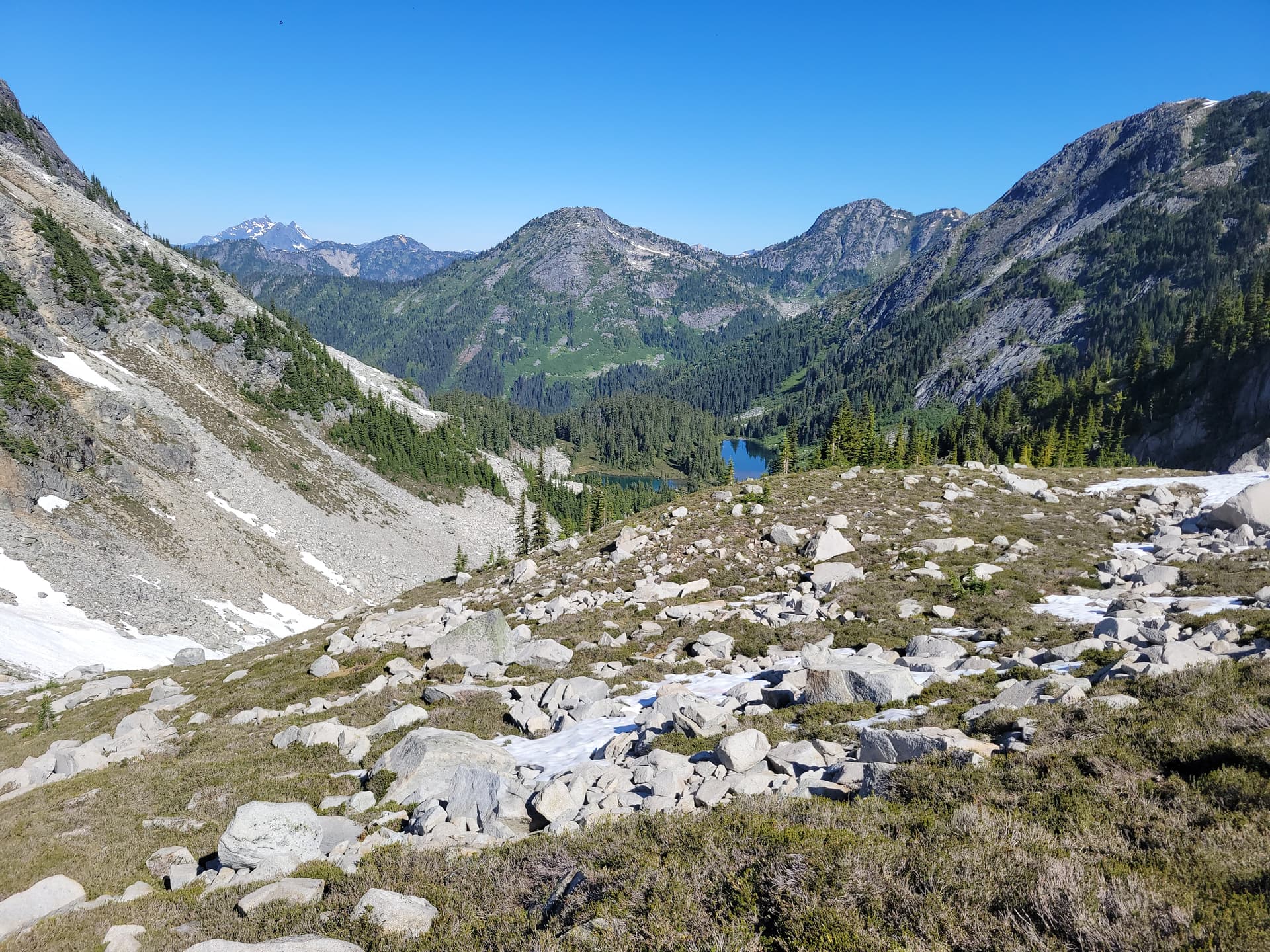
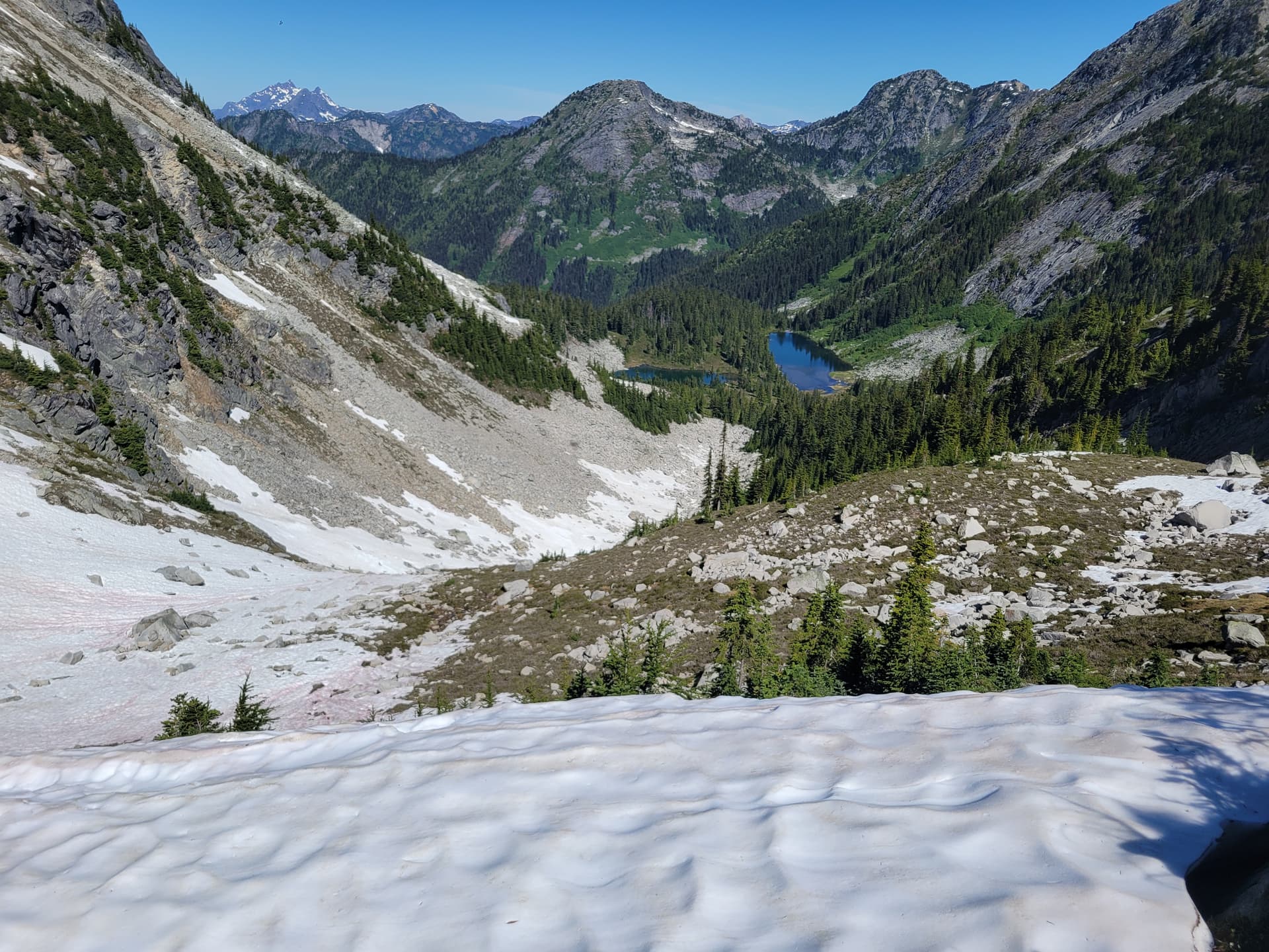
From the lakes you can see the gulley to the south you need to ascend with some pleasant meadows between them, the gulley is all boulders but we found the climbers left side of the gulley to be easy traveling to the col. There was a scary looking cornice from below but once we get closer it doesn’t look dangerous at all and it was very easy to get around. We took a break at the col enjoying the wind that knocked back the damned flying blood sucker’s.
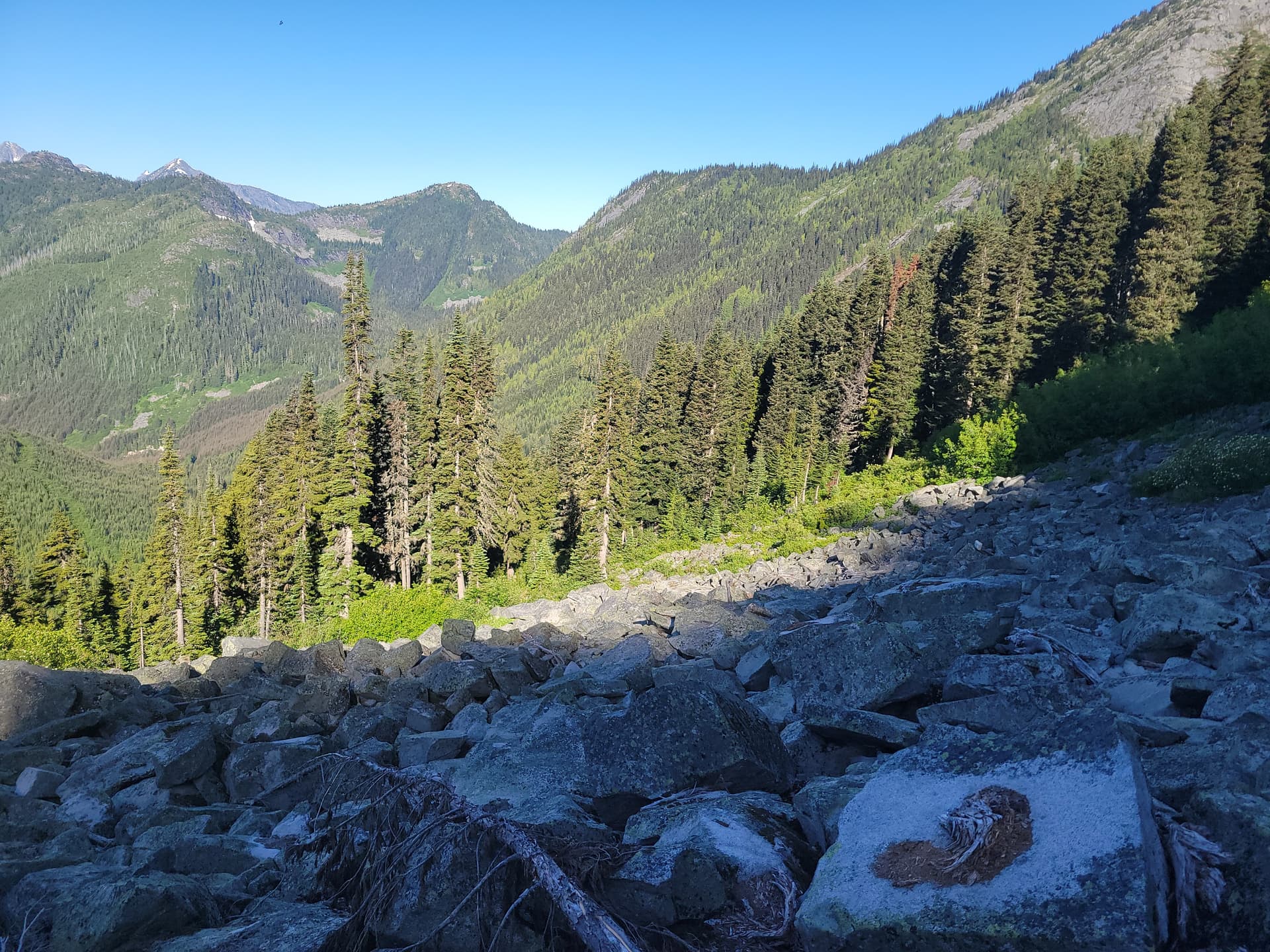
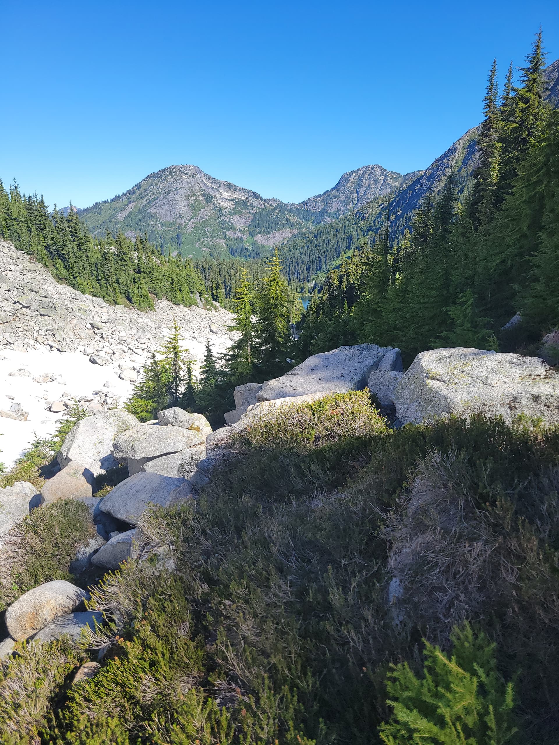
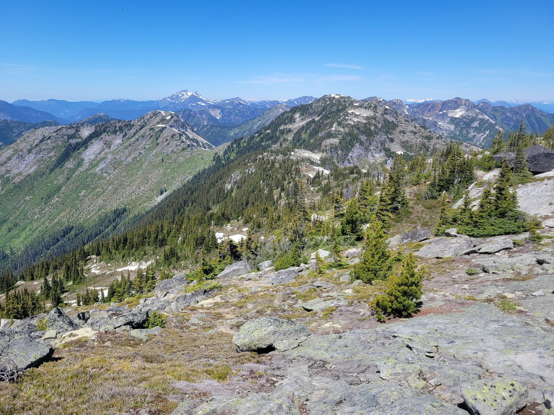
From the col we gain elevation to about 1900m and started the traverse of the Custer ridge highpoint and tried not to lose elevation but just drop the 50m into the bowl and walk the easier terrain it is much easier. In this area it was kinda bushy and the only trail I saw were probably game trails but they got us through. From the bowl you can gain a small low point through some trees go make the ridge easily.
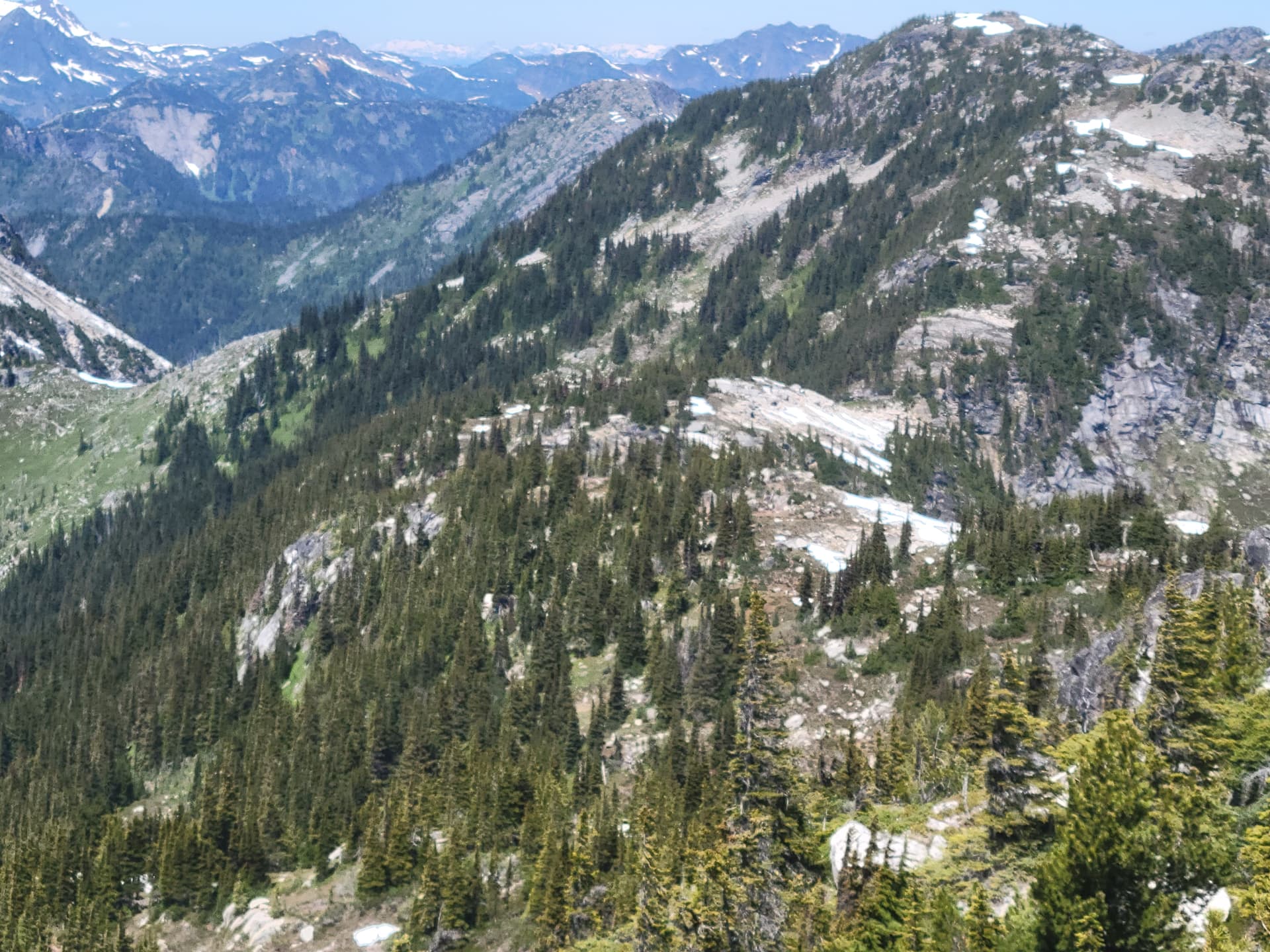
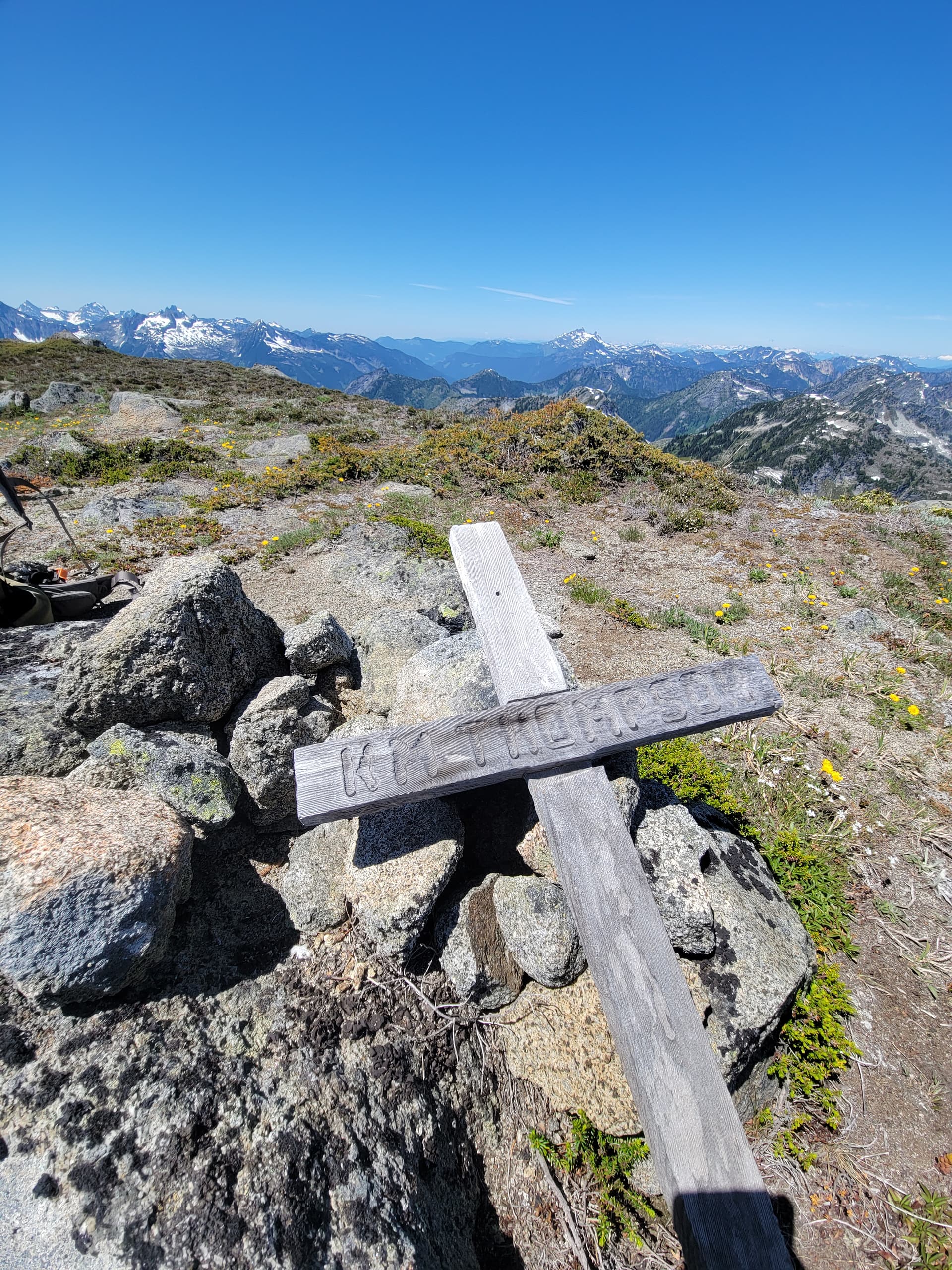
Once we were on the ridge I tried to stay along the high point of the ridge but this was a fools game. The best path is almost always 10m below the ridge on the west side, you will almost always find little heather ramps and allow you to bypass all the micro terrain and 20ft cliffs that pop up continuously, google earth can be so deciving sometimes. The 3rd bump along the ridge can and should be completely bypassed along a little gulley on the west side as well. From here there are two more bumps to get over and you are on the summit of this awesome P600 with stunning 360 views. We lounged on the top for an hour before making a considerably more efficient route back down now that we knew what type of terrain we were dealing with.
I hope more people use this route as it looks like the peak doesn’t get much attention in the summer and that is a real shame since this route could be a very popular route if it got enough use to pound in a real trail the whole way. In the end it was 6km and 840m gain one way, with a little added gain for the return with the undulating ridge back.