I had been waiting (im)patiently for Kookipi FSR to reopen so that I could follow Steve, Duffy & Val’s route up The Nipple from the west, the “standard” way from the east didn’t sound like fun. I figured I could bike the 4km of FSR which would save a bunch of time, so I loaded up my truck & drove out, sleeping at the “trailhead” the night before. 4x4 HC recommended for the “Kookipi 6700” road, I made it to exactly the same spot as the 2020-06-25 party, except it wasn’t just a couple rocks blocking progress, there was a waterfall & massive deactivation 4m+ high.
I was up at 5am after a surprisingly decent night’s sleep in the passenger seat of my truck, the trick I’ve found is to park on a steep incline & this compensates for the lack of full recline on the seat. I had a quick breakfast, then geared up & unloaded the bike, setting off at 5:20am. It wasn’t easy carrying my bike down the massive boulders at the deactivation & up the other side, I wished I’d taken my girlfriend’s hardtail which is way lighter than my full suspension MTB. There was another huge deactivation shortly ahead but it was easier, not quite as high and the rocks were smaller.
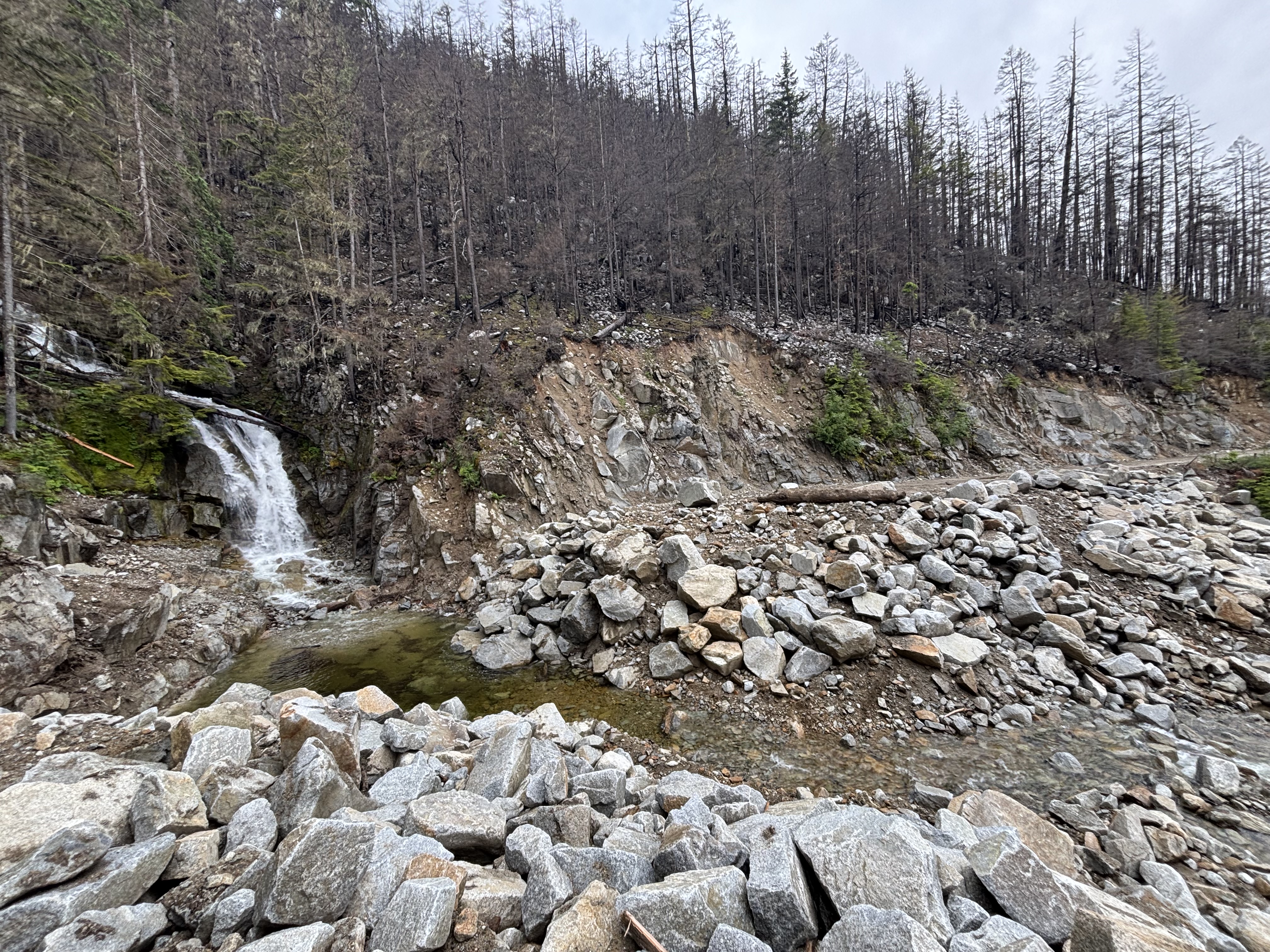
Deactivation 1
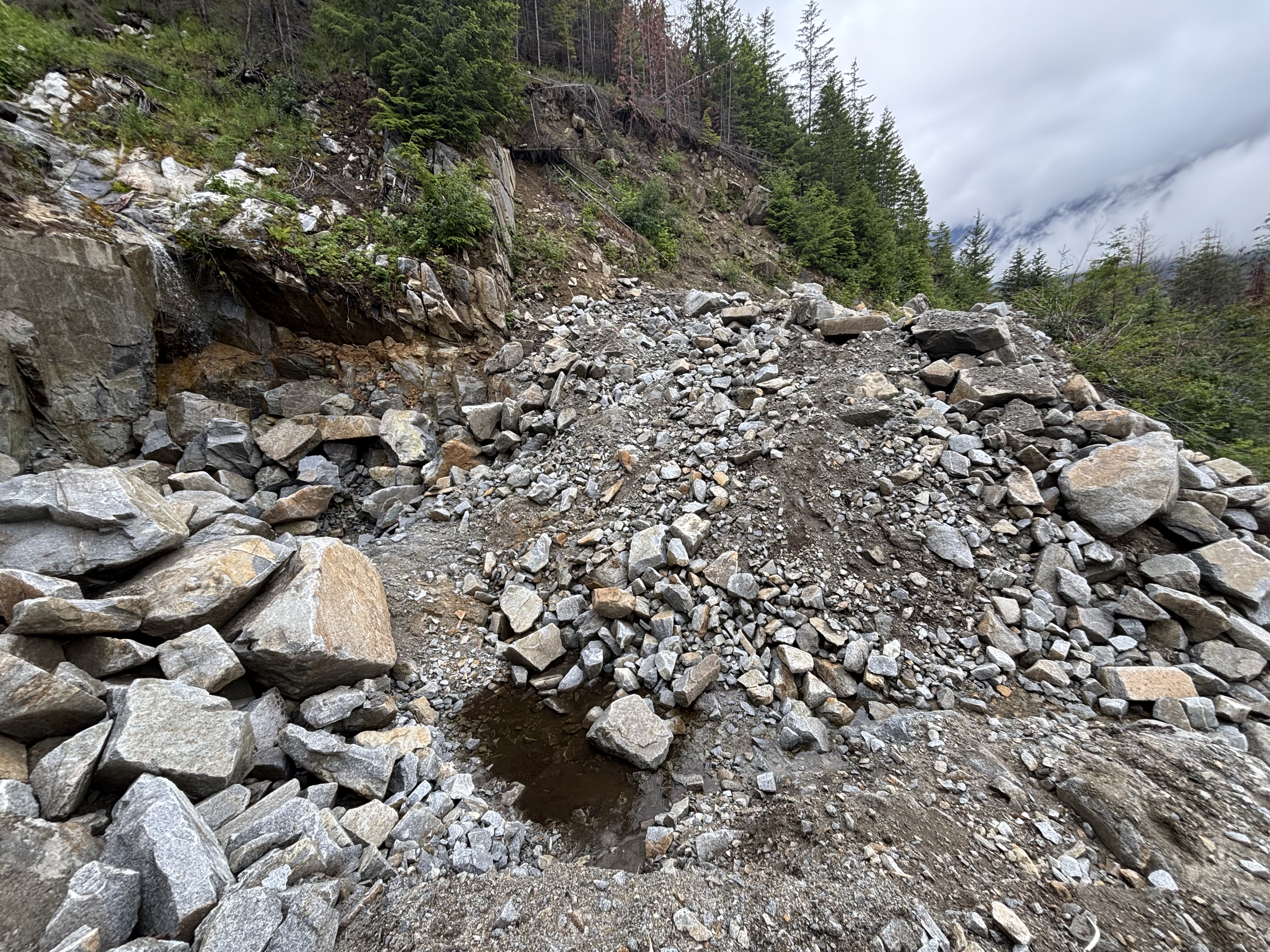
Deactivation 2
After this the road was generally in good shape, the waterbars/cross ditches were rollable on the bike in both directions. I did end up pushing probably 70% uphill to preserve my leg muscles but it would be worth it for the descent. After just over an hour I got the the junction with the spur down to the creek, I almost missed it - it was very overgrown with 8’ high alder & definitely not worth biking so I ditched the bike here.
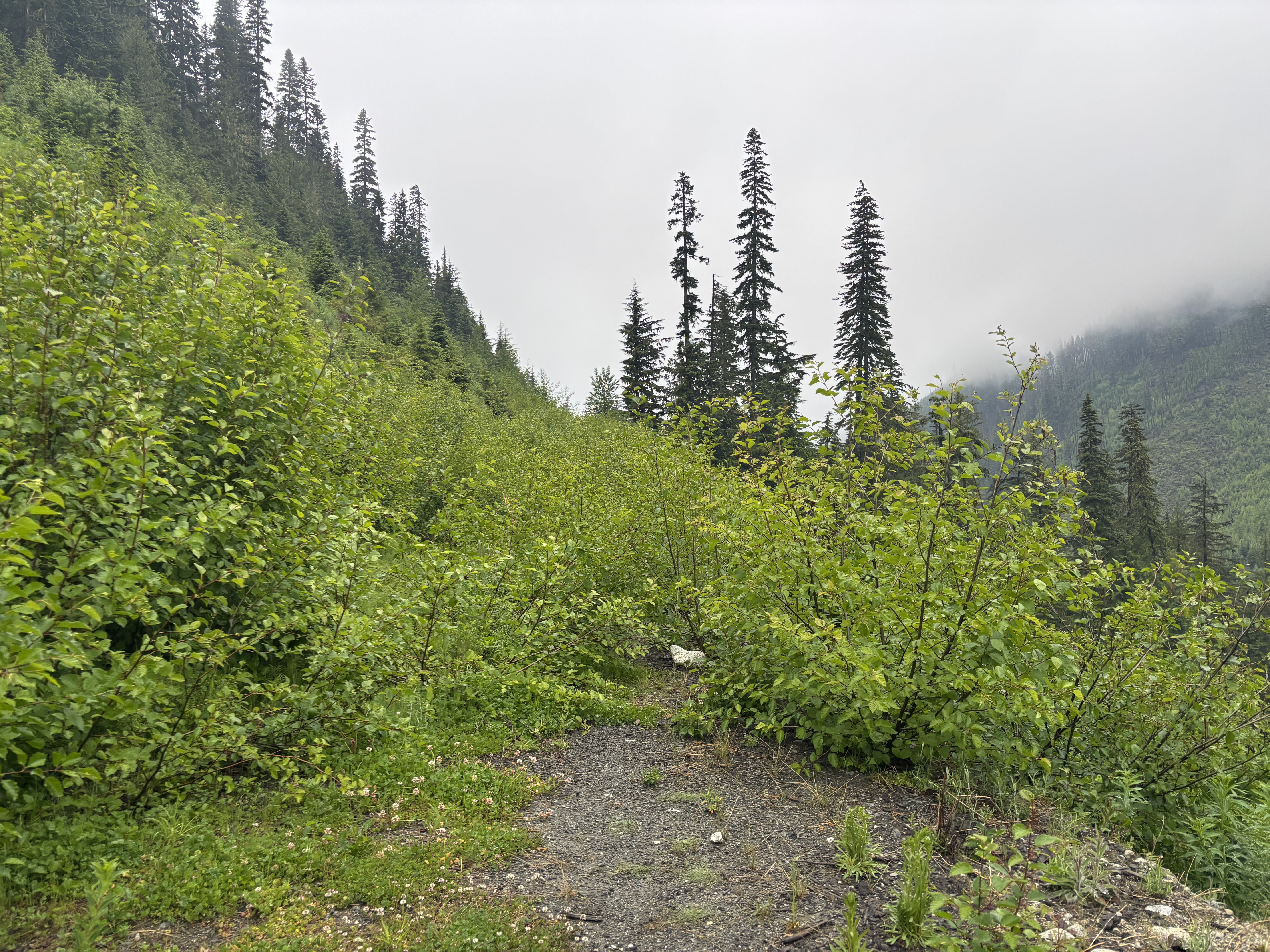
The spur road down to the creek
The spur was still easy walking, the alder wasn’t very thick & it wasn’t continous on the whole road, there were just short sections. Something (a bear?) had also been through & flattened the alder down a bit. As I approached the creek crossing the road looked bushier ahead & I decided to shortcut the corner which worked out, there were many options for logs to cross the creek, I used different logs up/down, easy walk across both times & dry feet. Minor short bushwhack on the far side of the creek to reconnect with the road before I entered the cutblock.
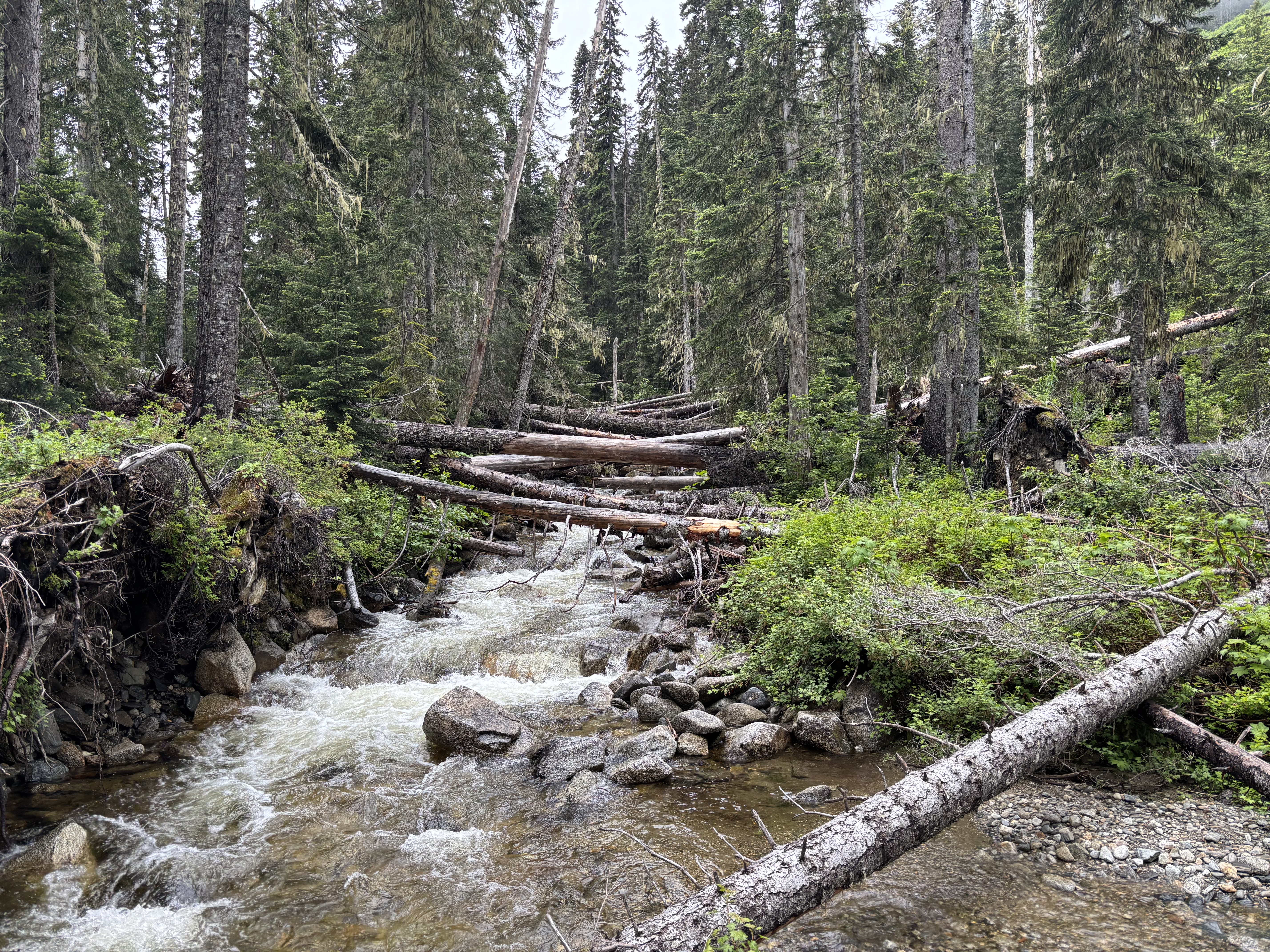
Many options to cross the creek
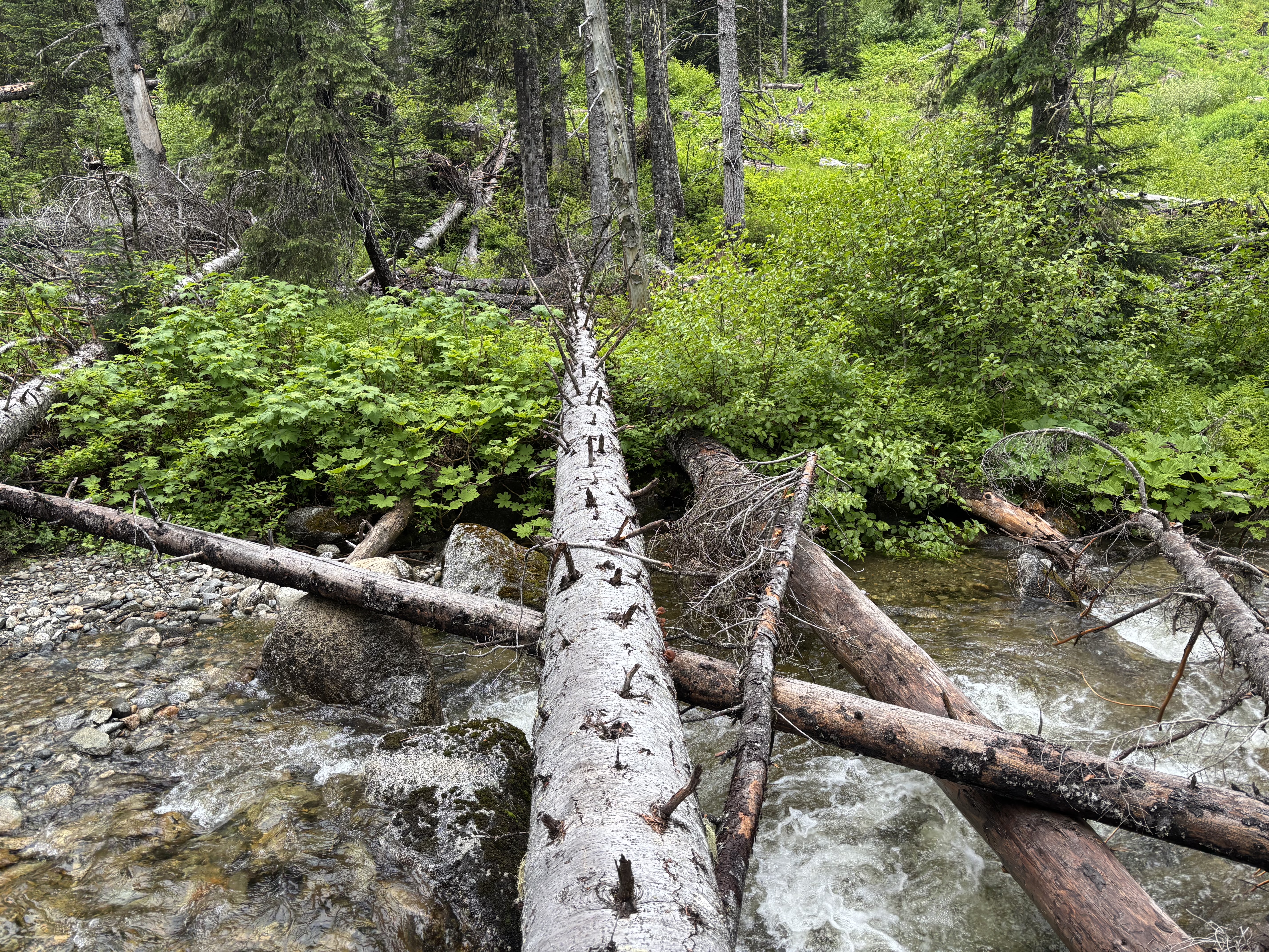
I used this log on the return
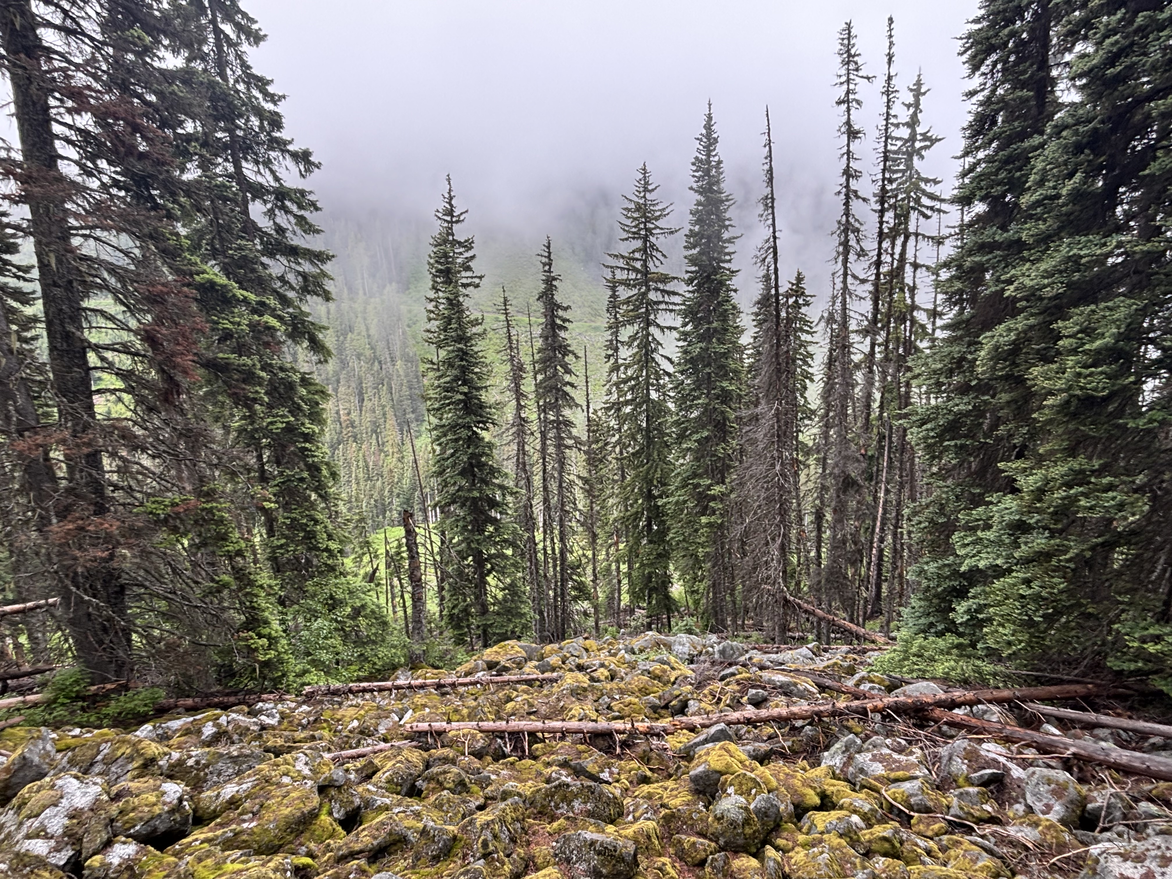
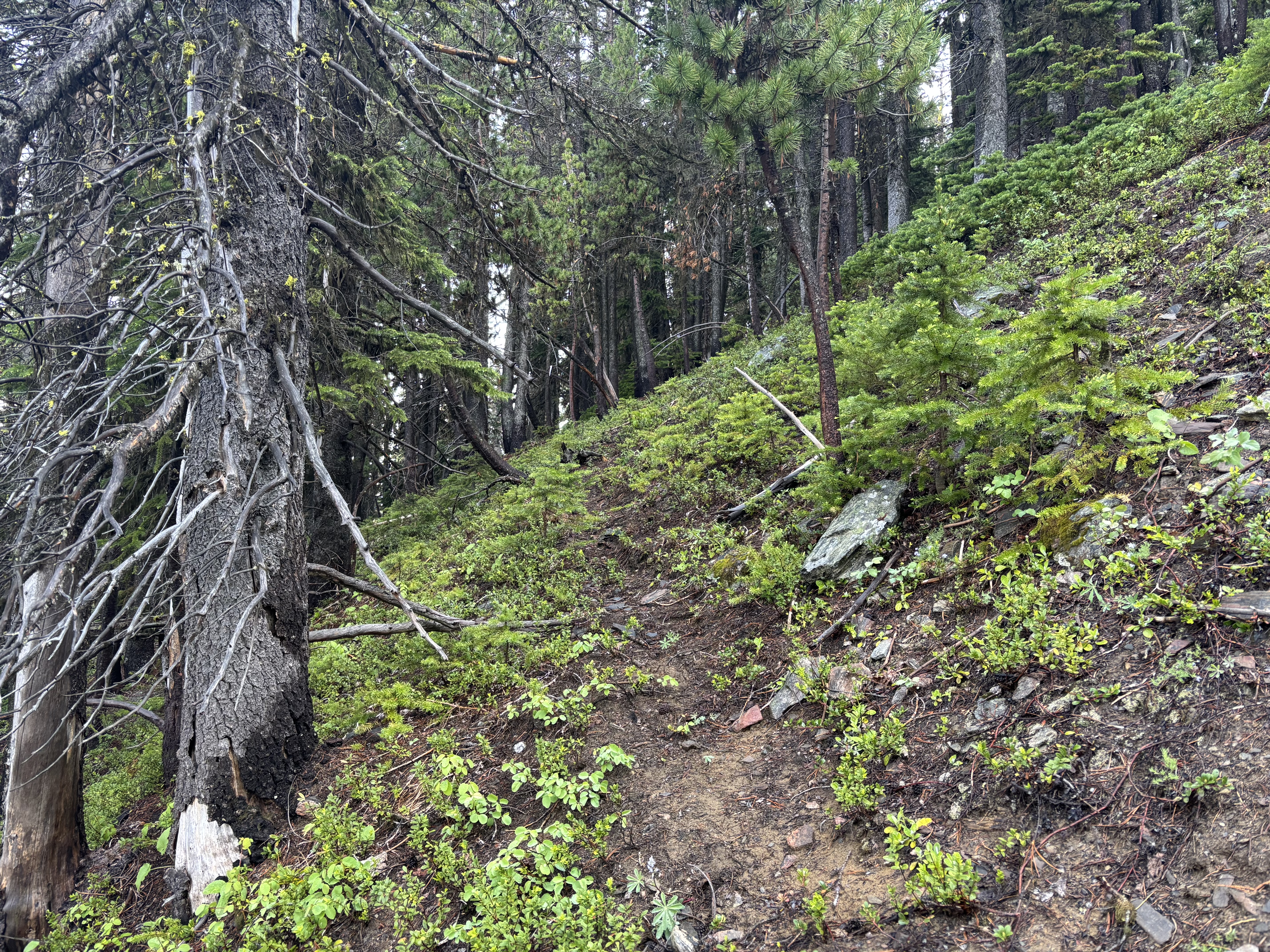
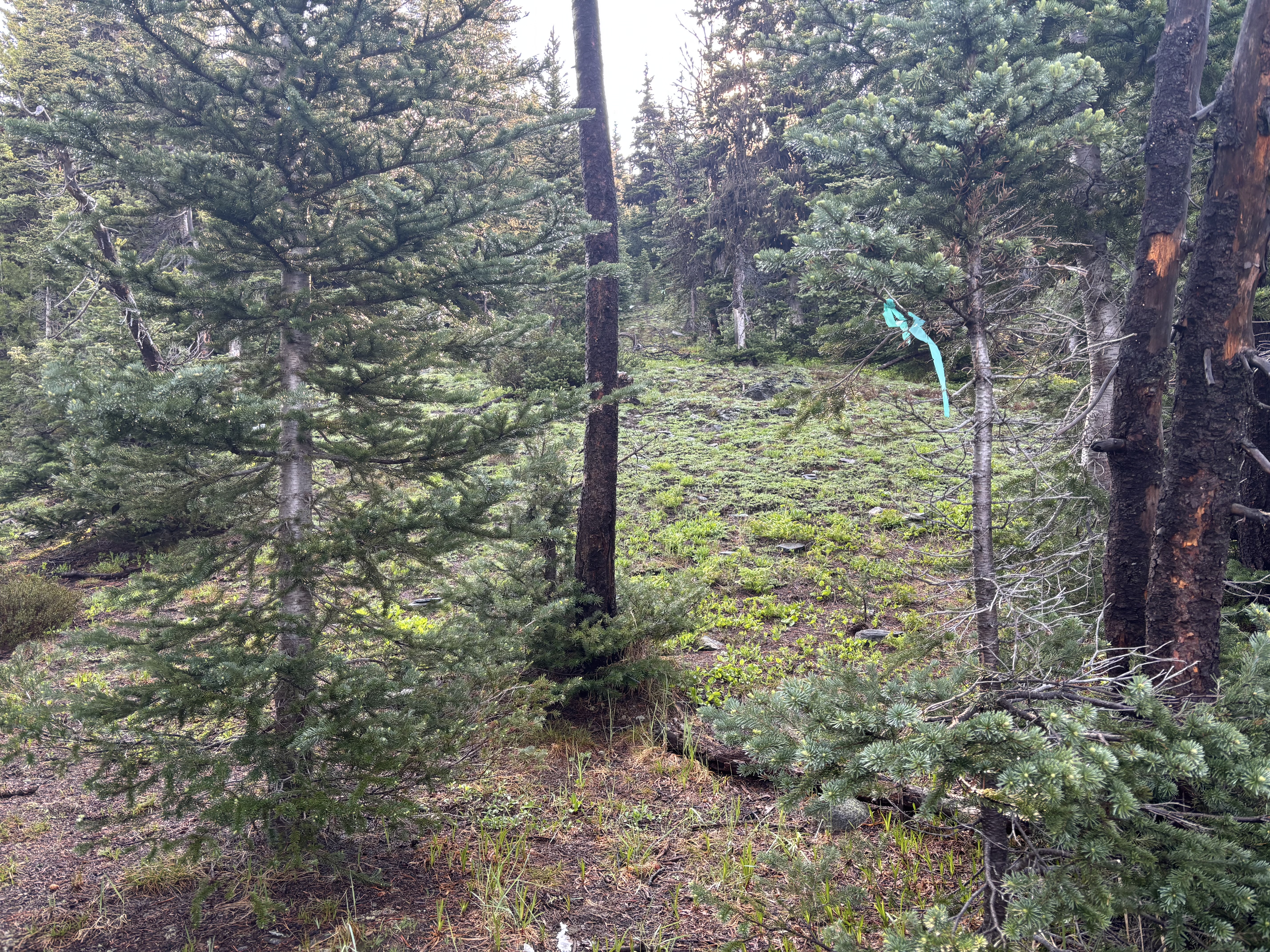
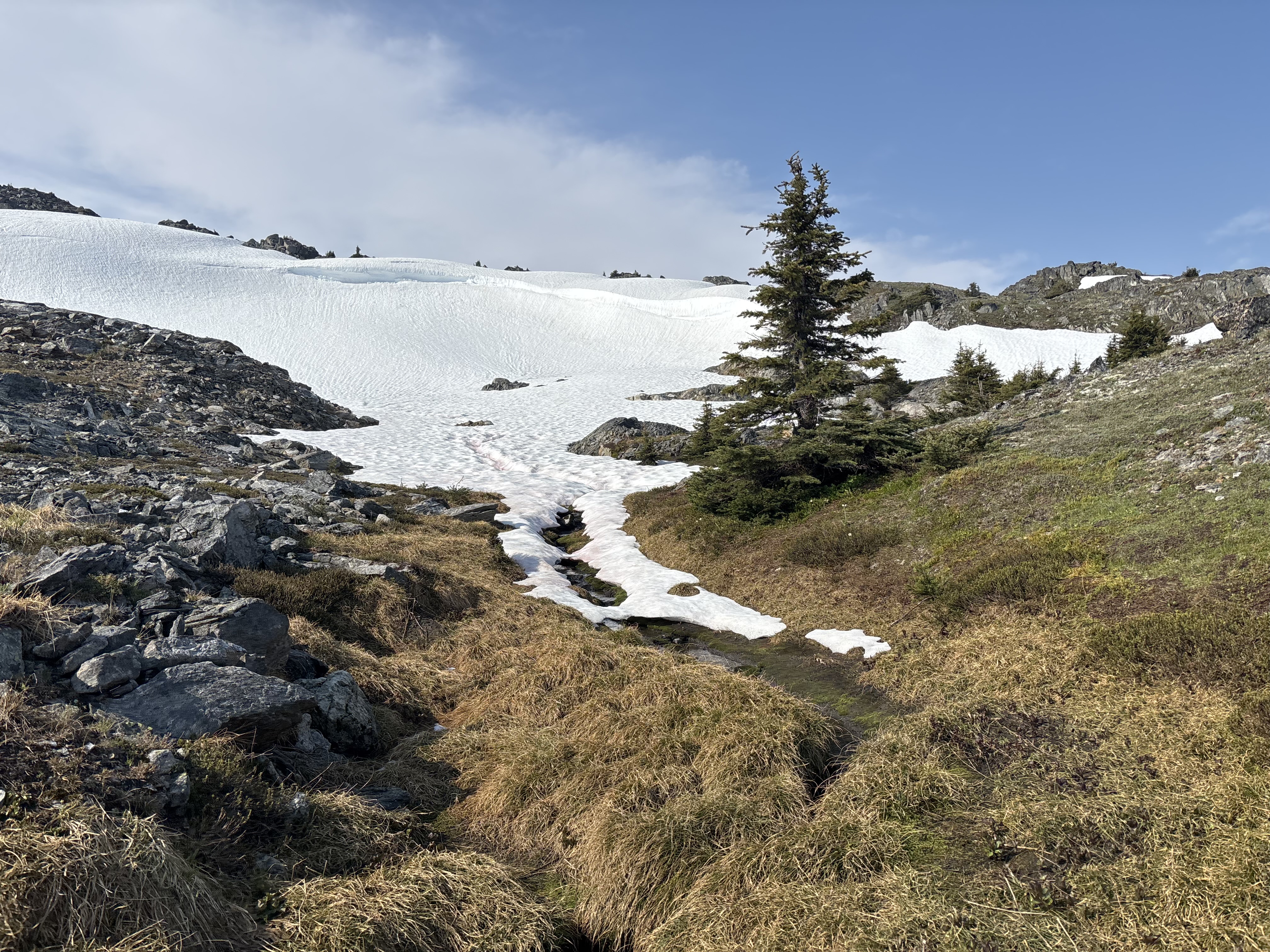
The cutblock was annoying but not the worst cutblock I’ve been in. Any prickly plants were very short so didn’t really pose an issue & I was soon in the forest above. I found a short boulder field which made for easy progress until it ran out, but the next ~250m elevation gain were the crux of the trip - annoying steep slippery forest with lots of deadfall - but eventually the deadfall ended & the forest became more open. Higher up I even found some (game?) trails which I could connect here & there & a previous party had flagged somewhat of a route (old very faded pink & then green tape).
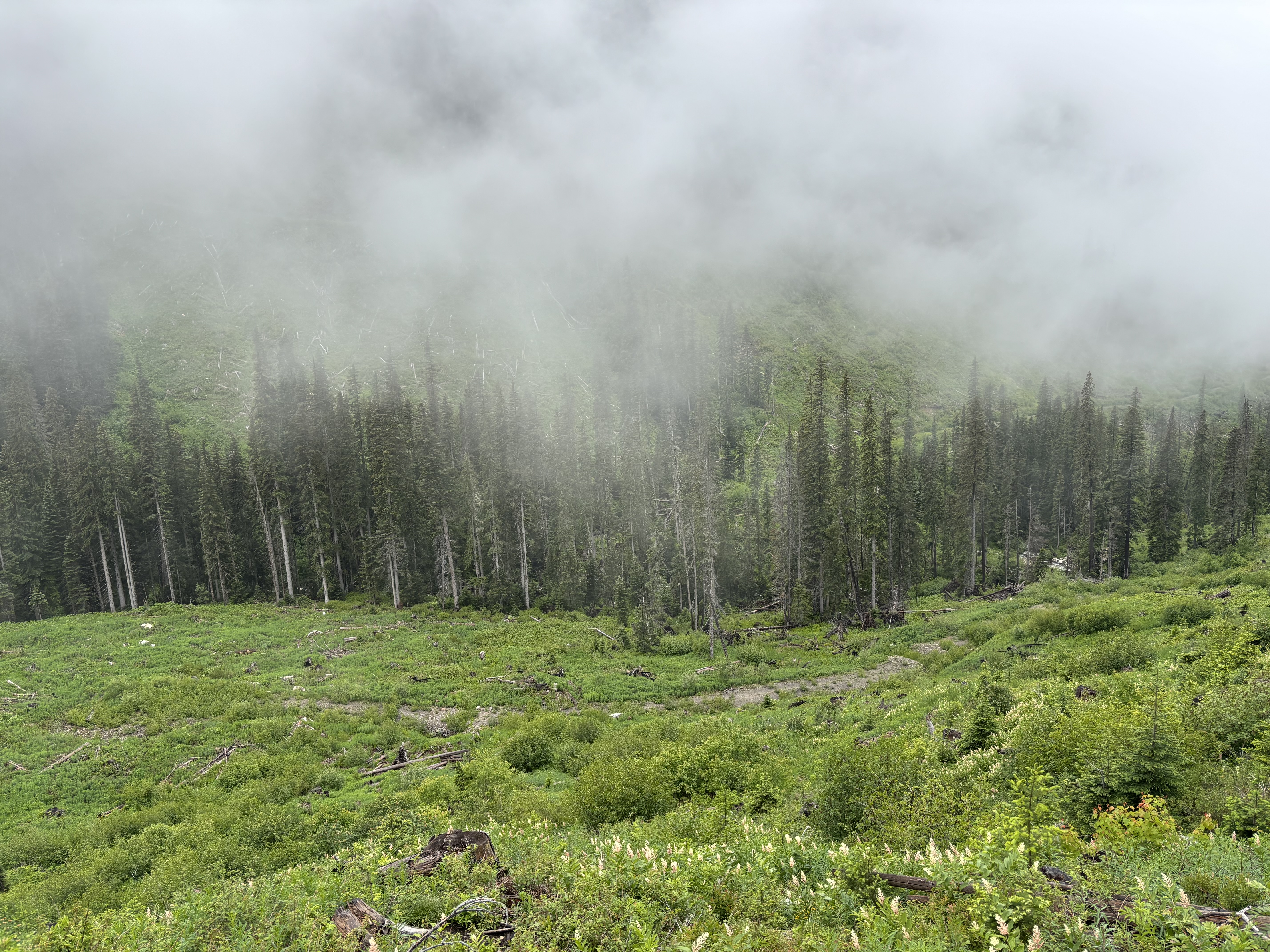
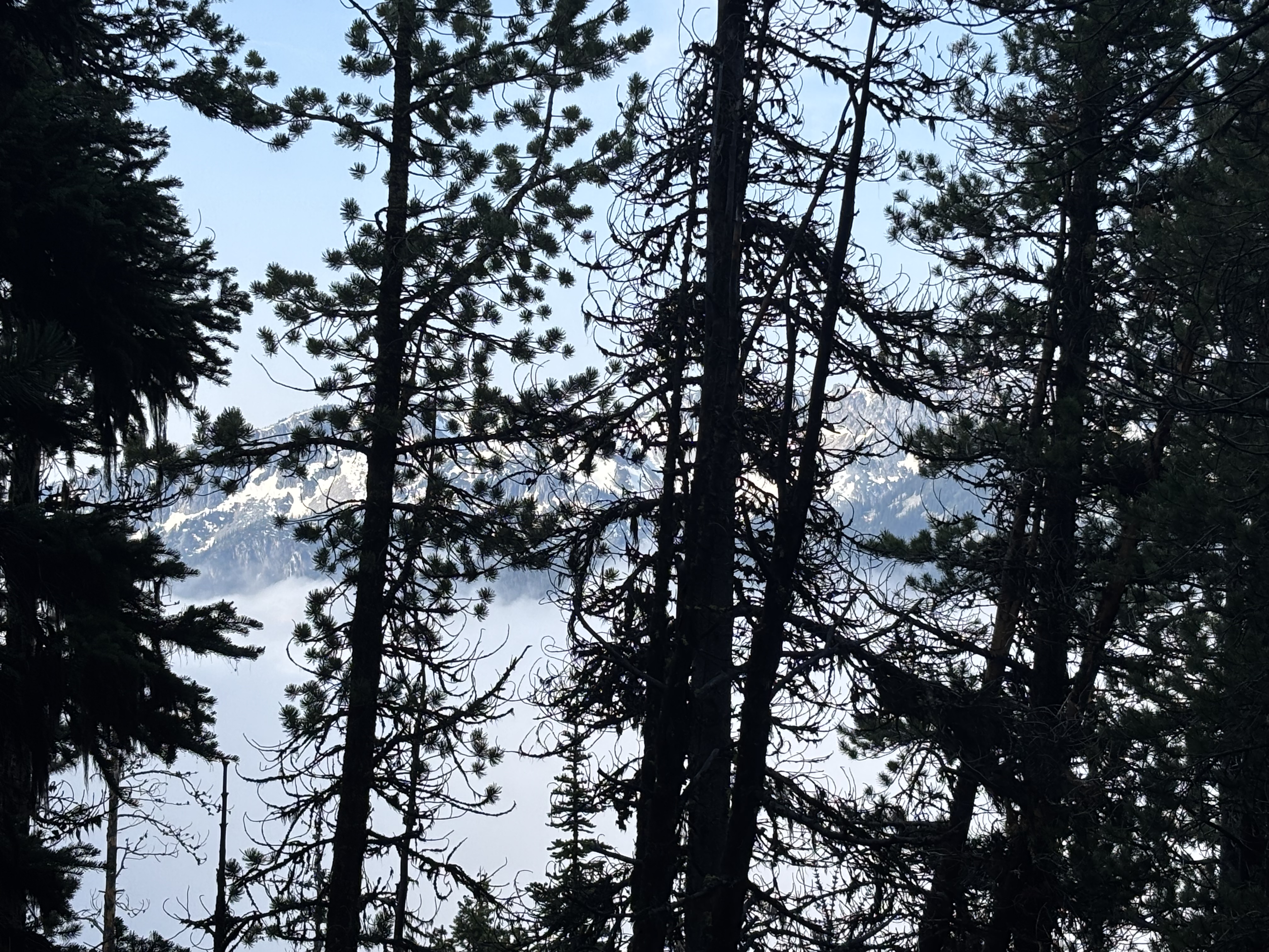
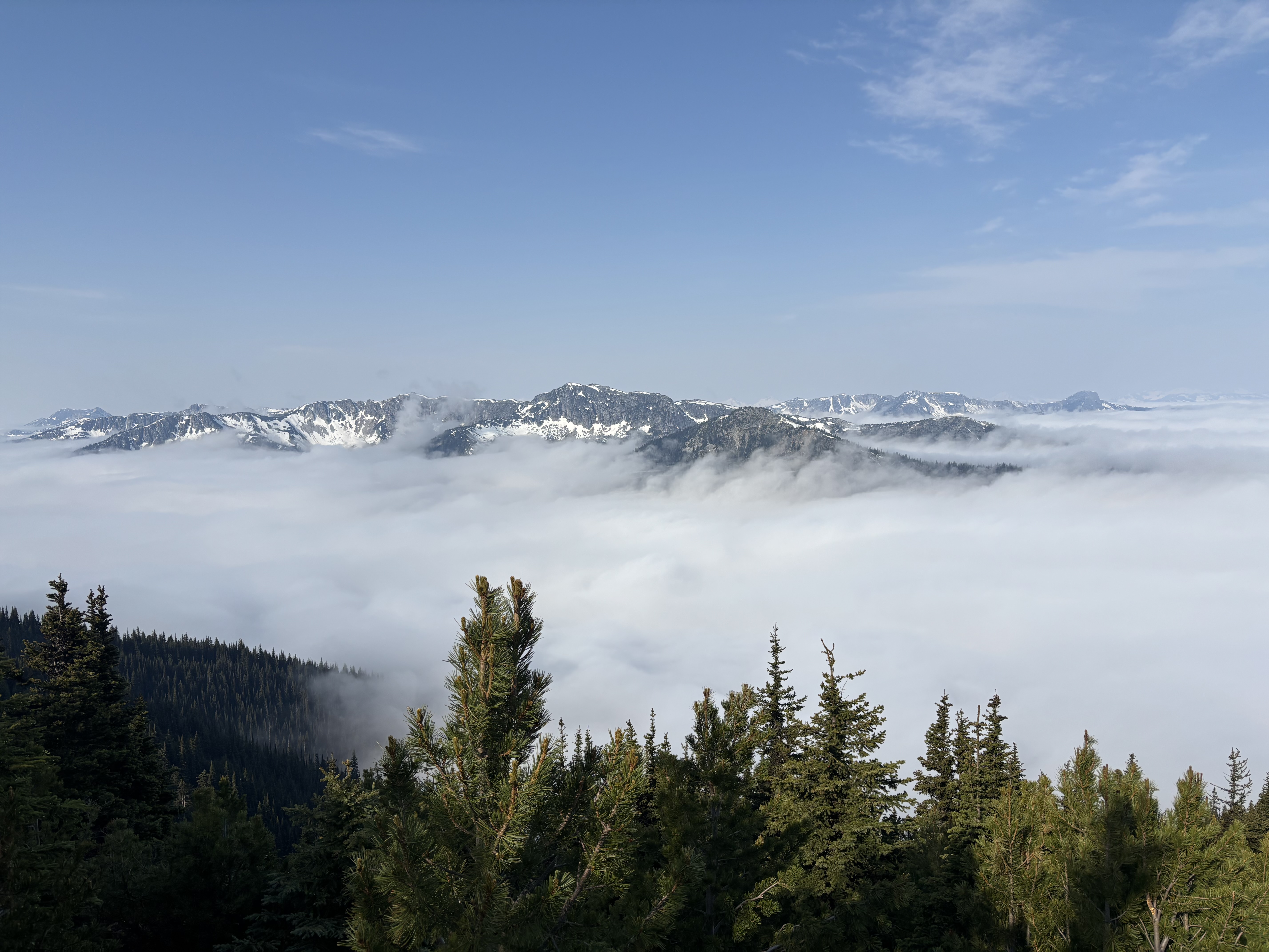
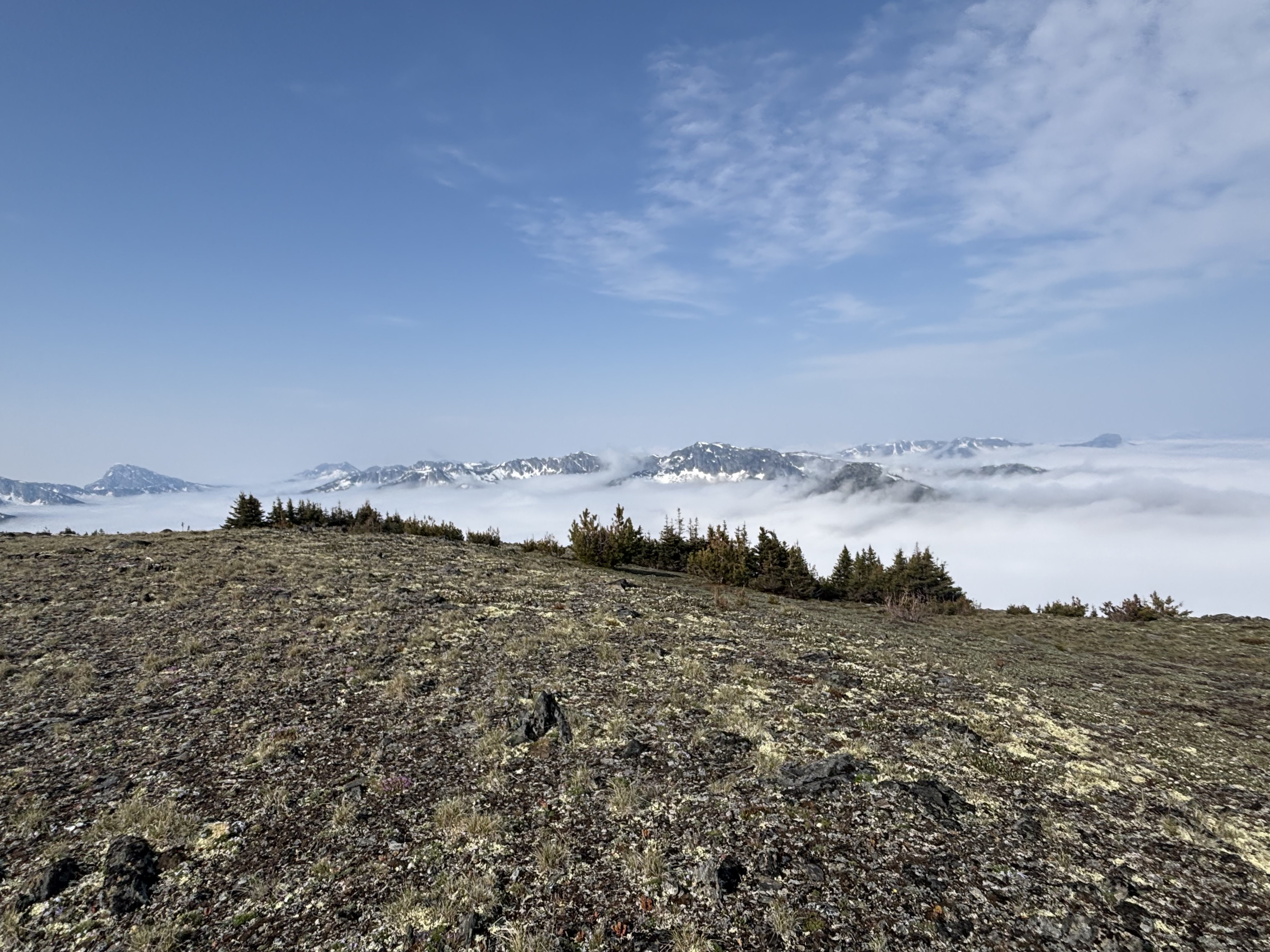
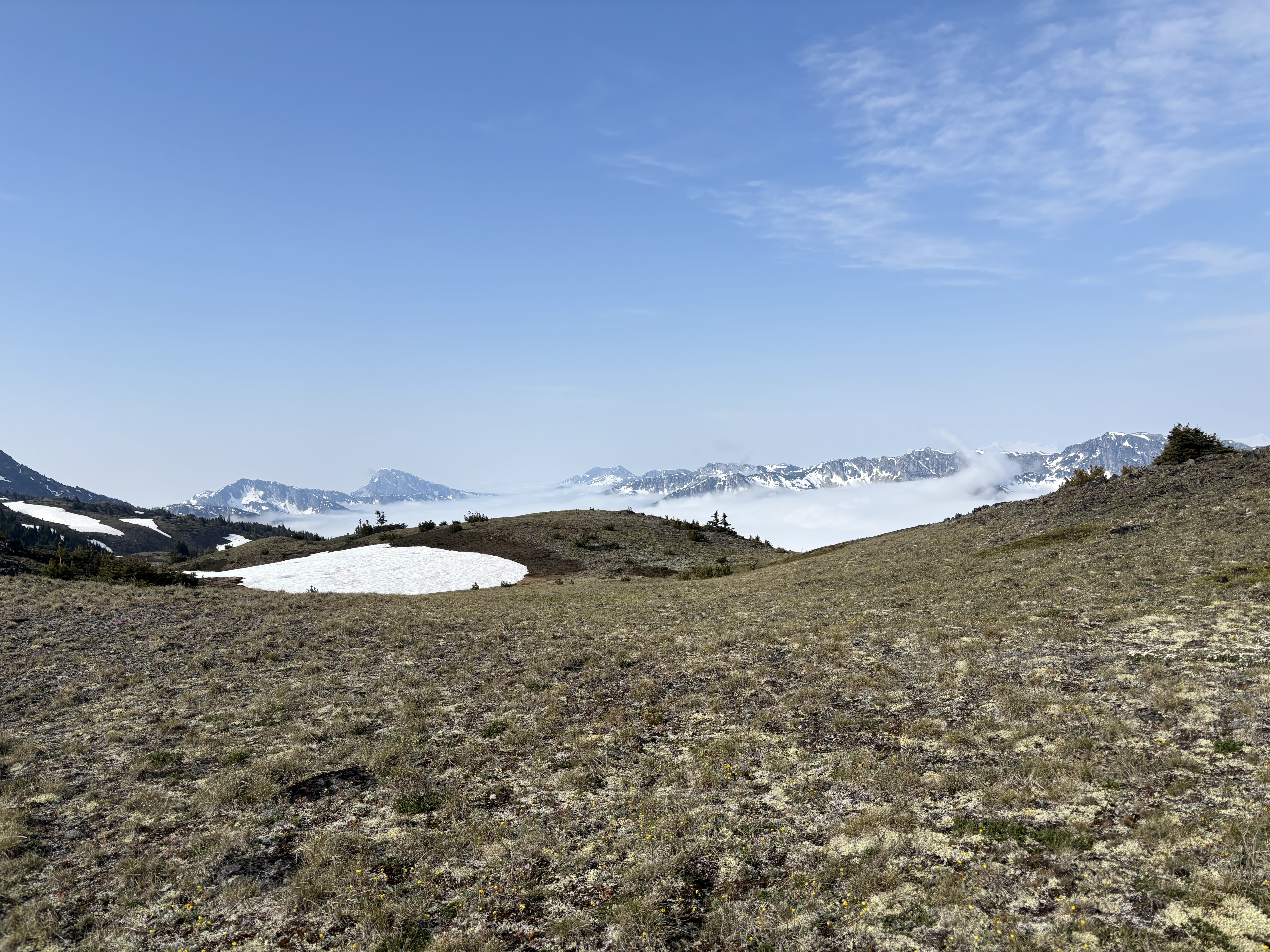
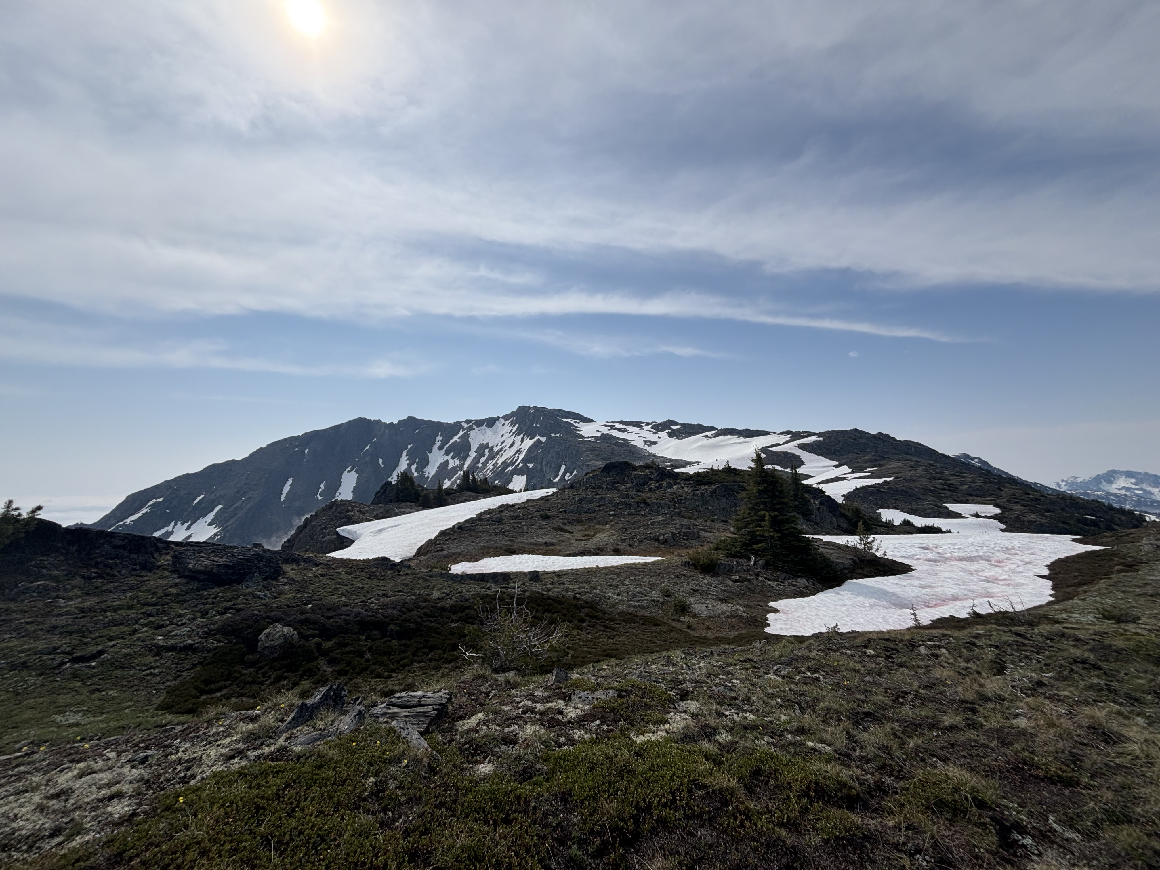
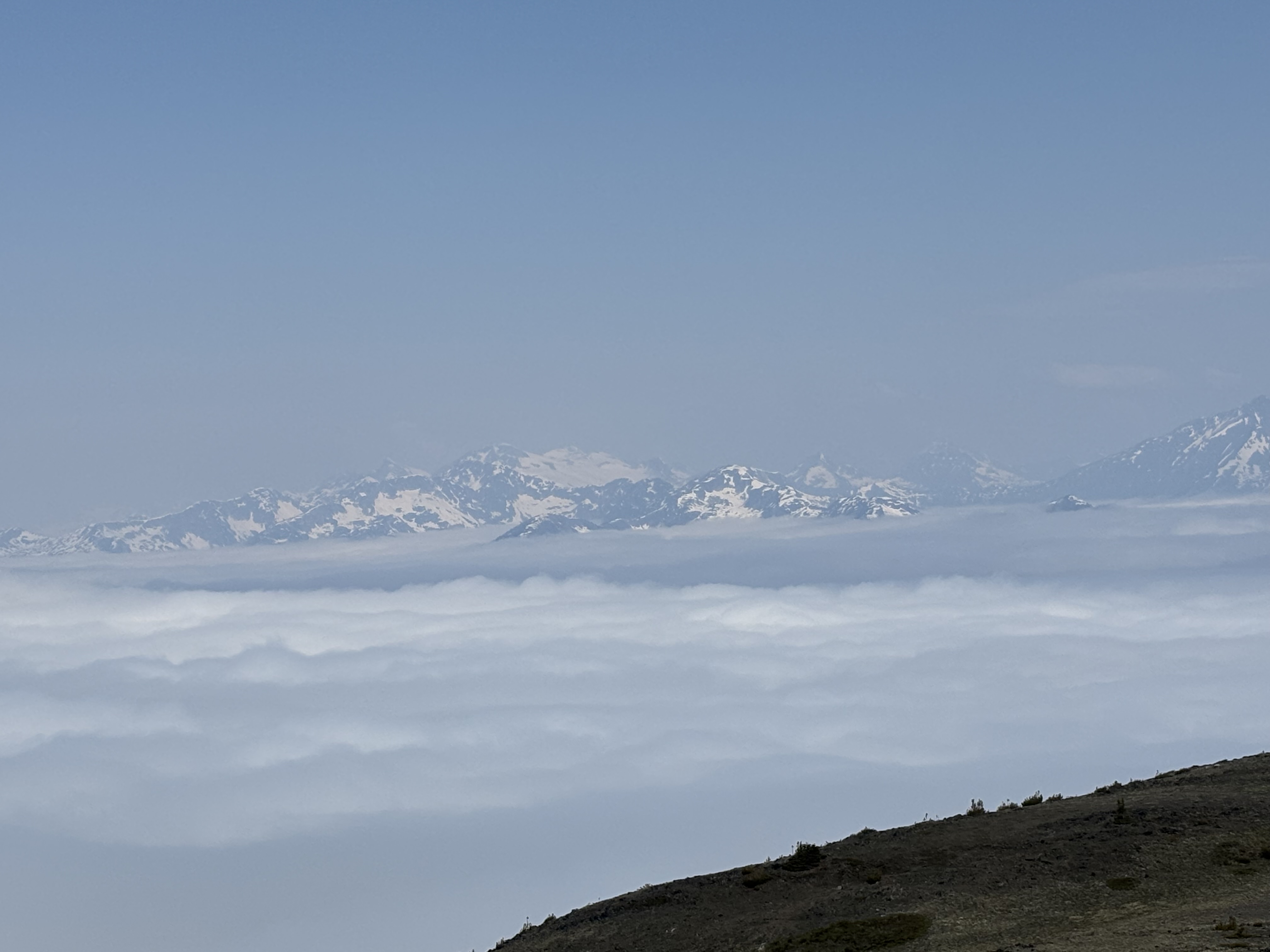
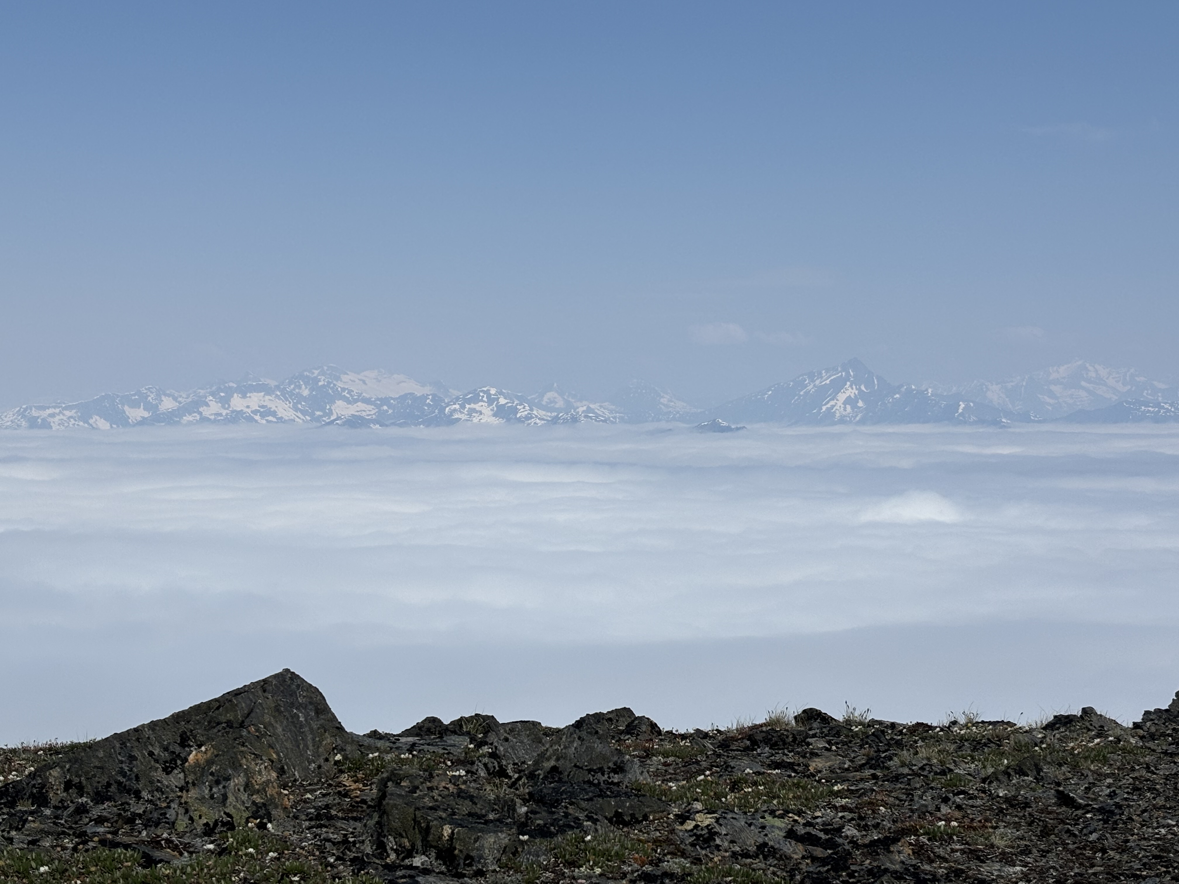
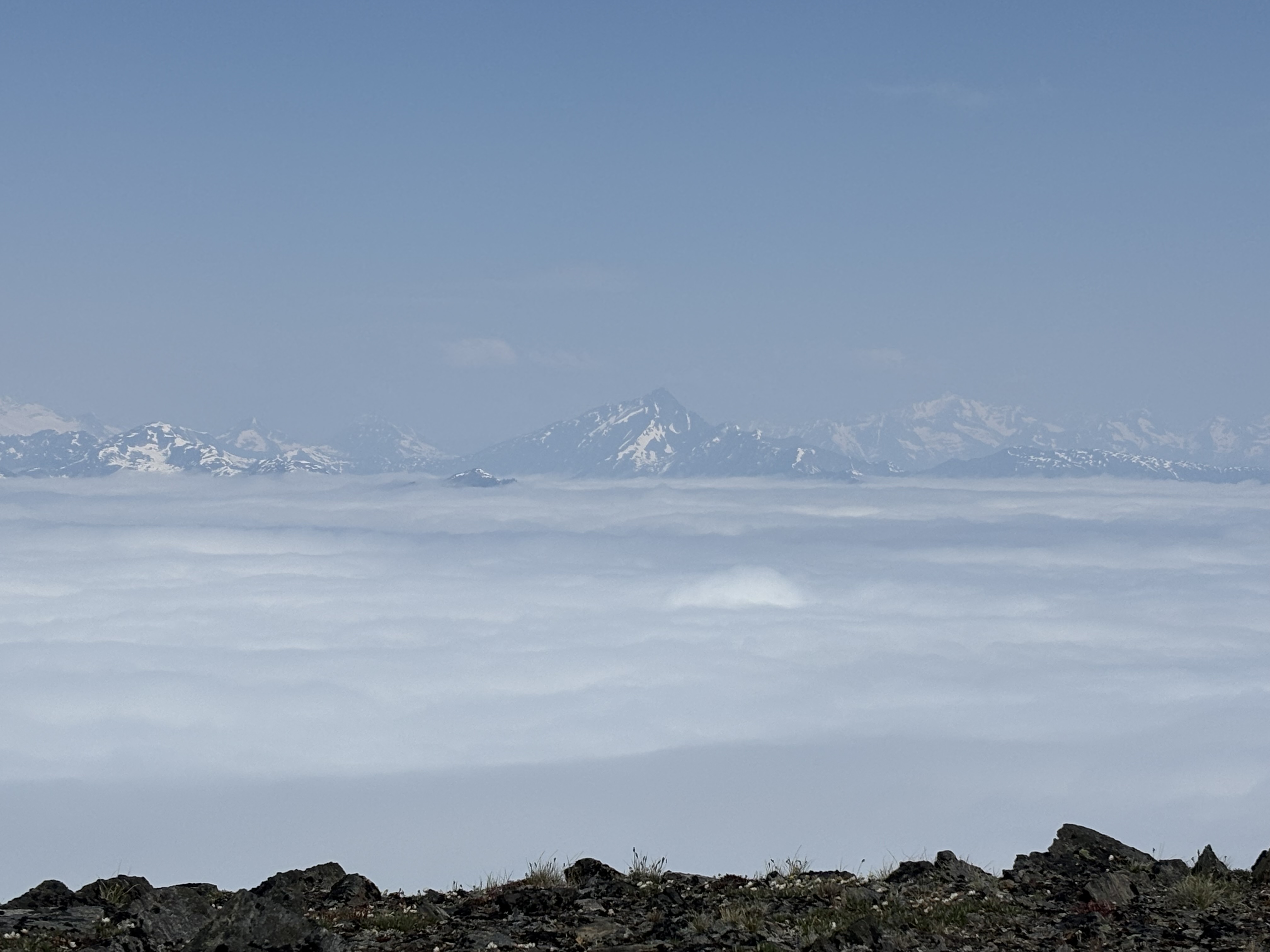
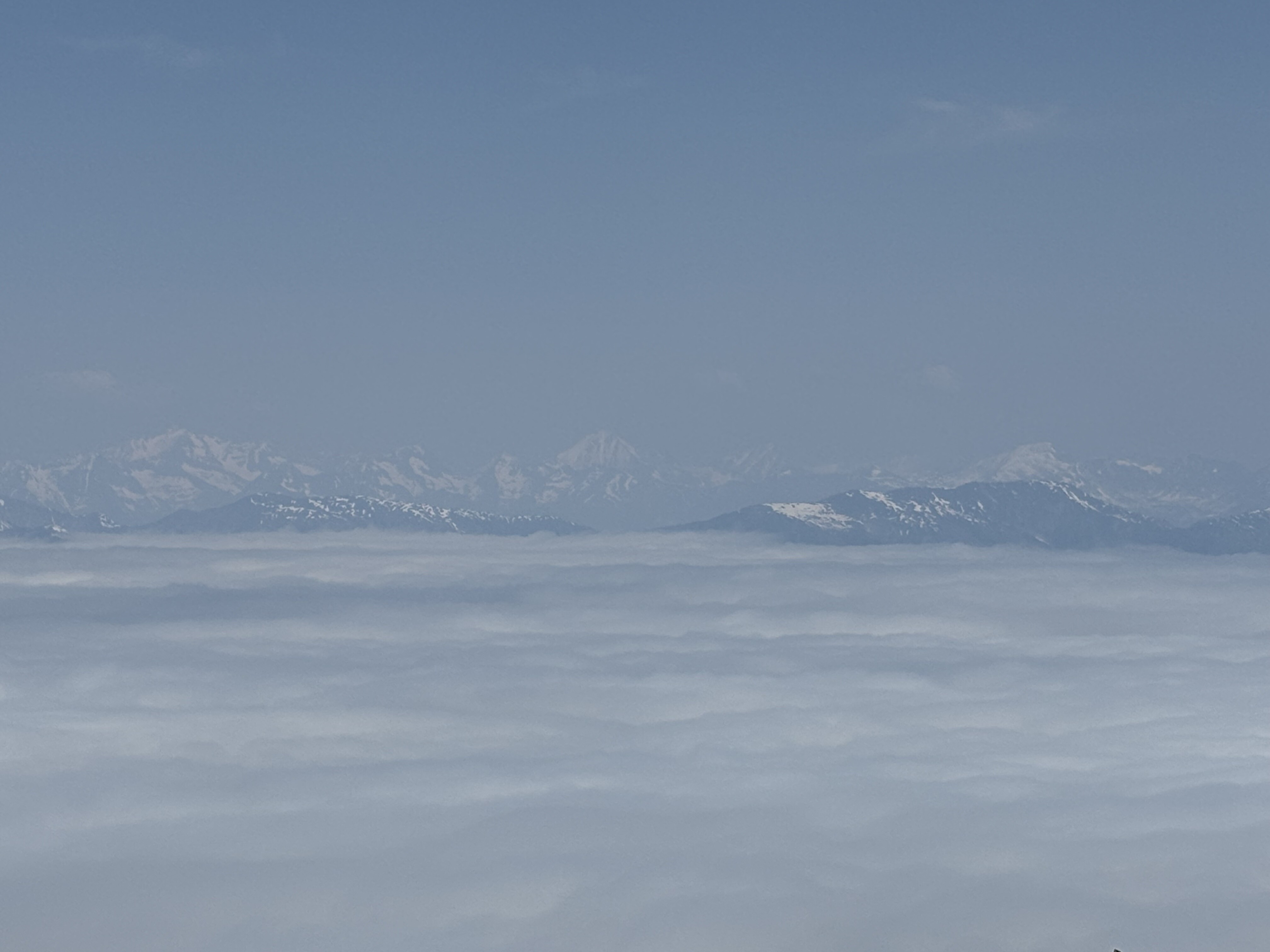
As I got higher I broke out above the cloud layer & had peekaboo views of distant peaks across the valley through the trees. This lifted morale as I was starting to get worried that the forecast had been lying to me. Finally after a steep 850m gain from the FSR I emerged into the alpine & the views were indeed spectacular with peaks sticking out above a sea of clouds. I followed the gentle ridge, which had a few undulations but no major elevation loss, up to the huge summit cairn. I crossed a couple of fairly flat snowpatches here & there but microspikes were training weight in my pack.

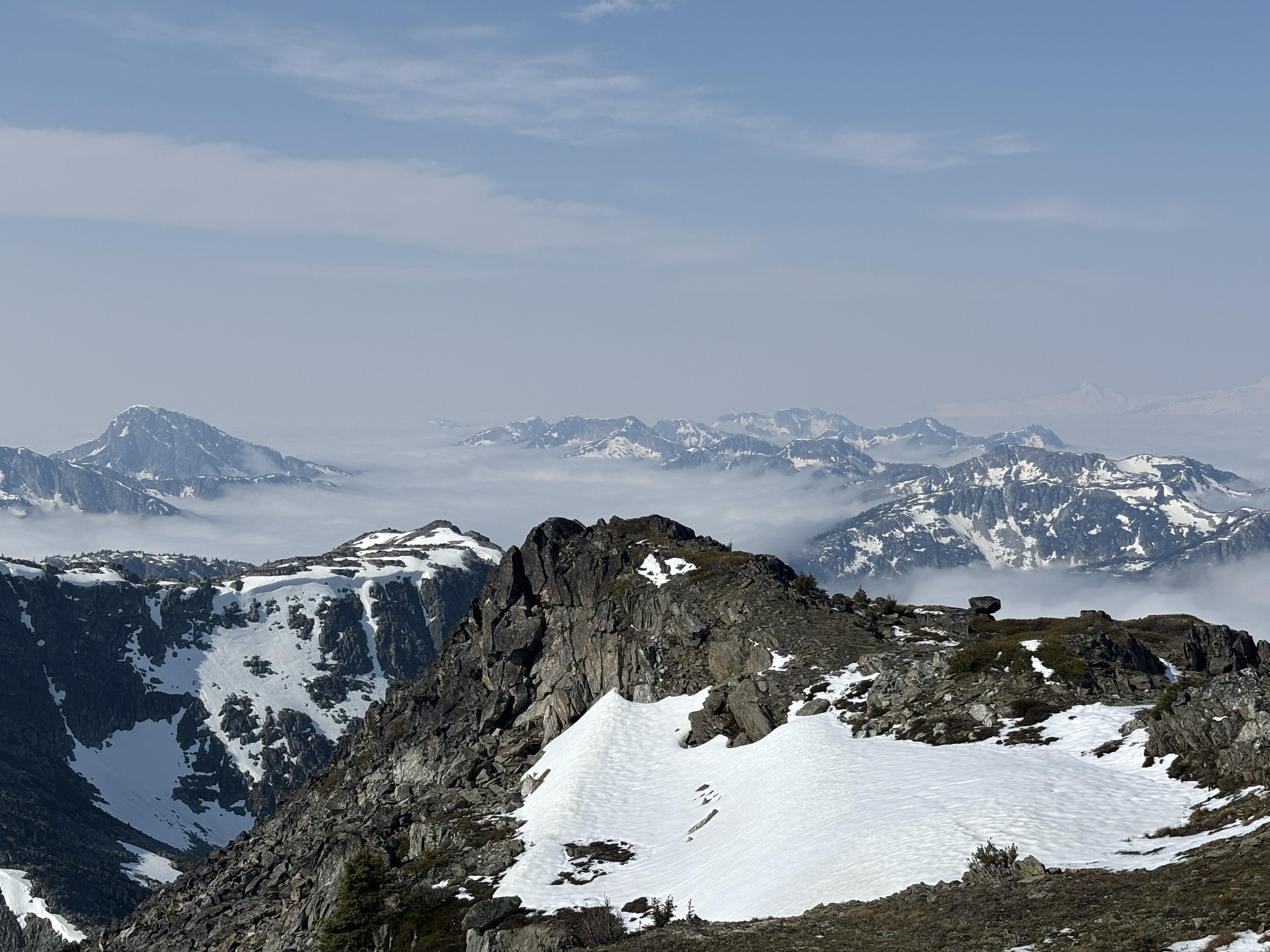
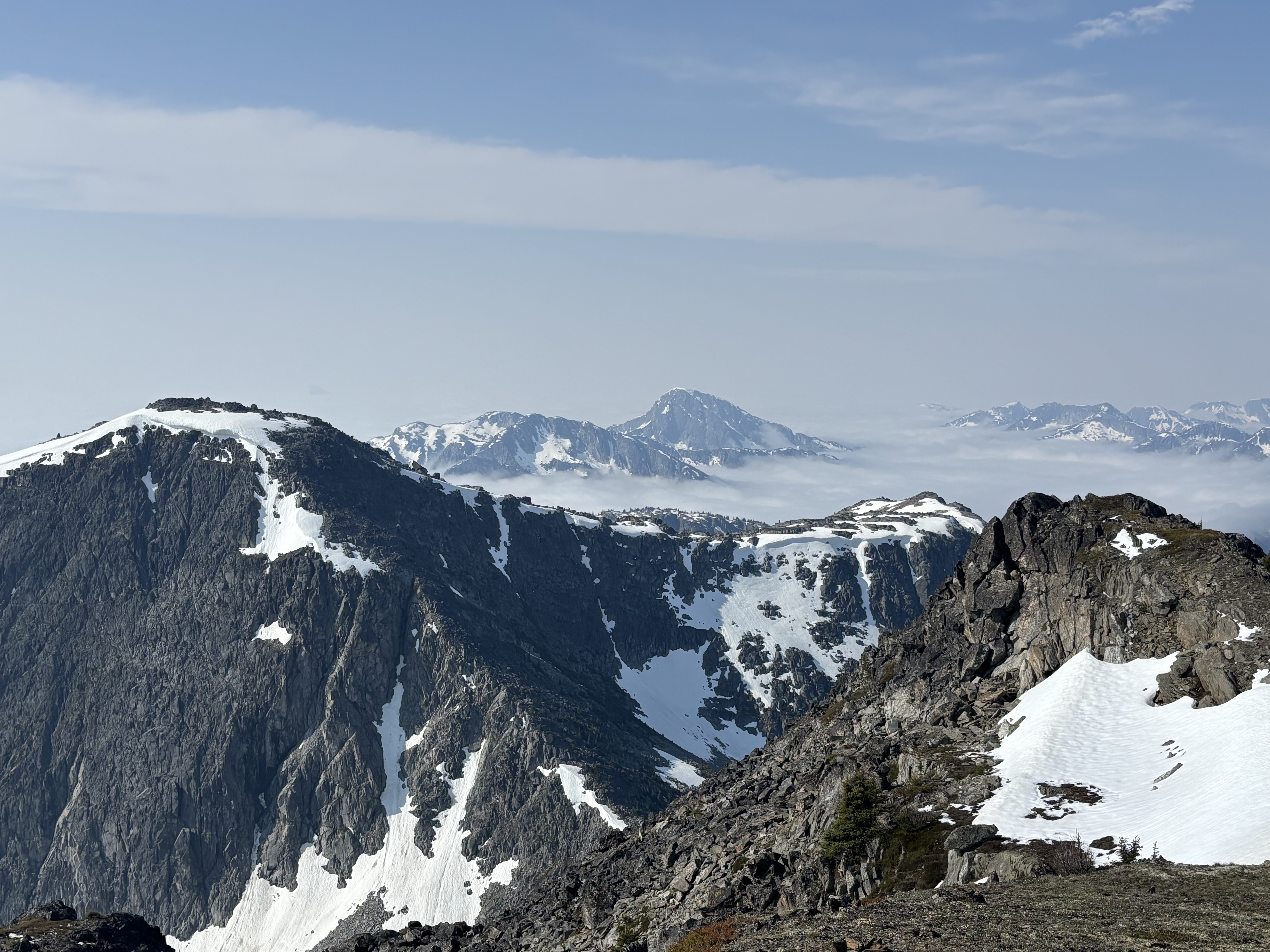
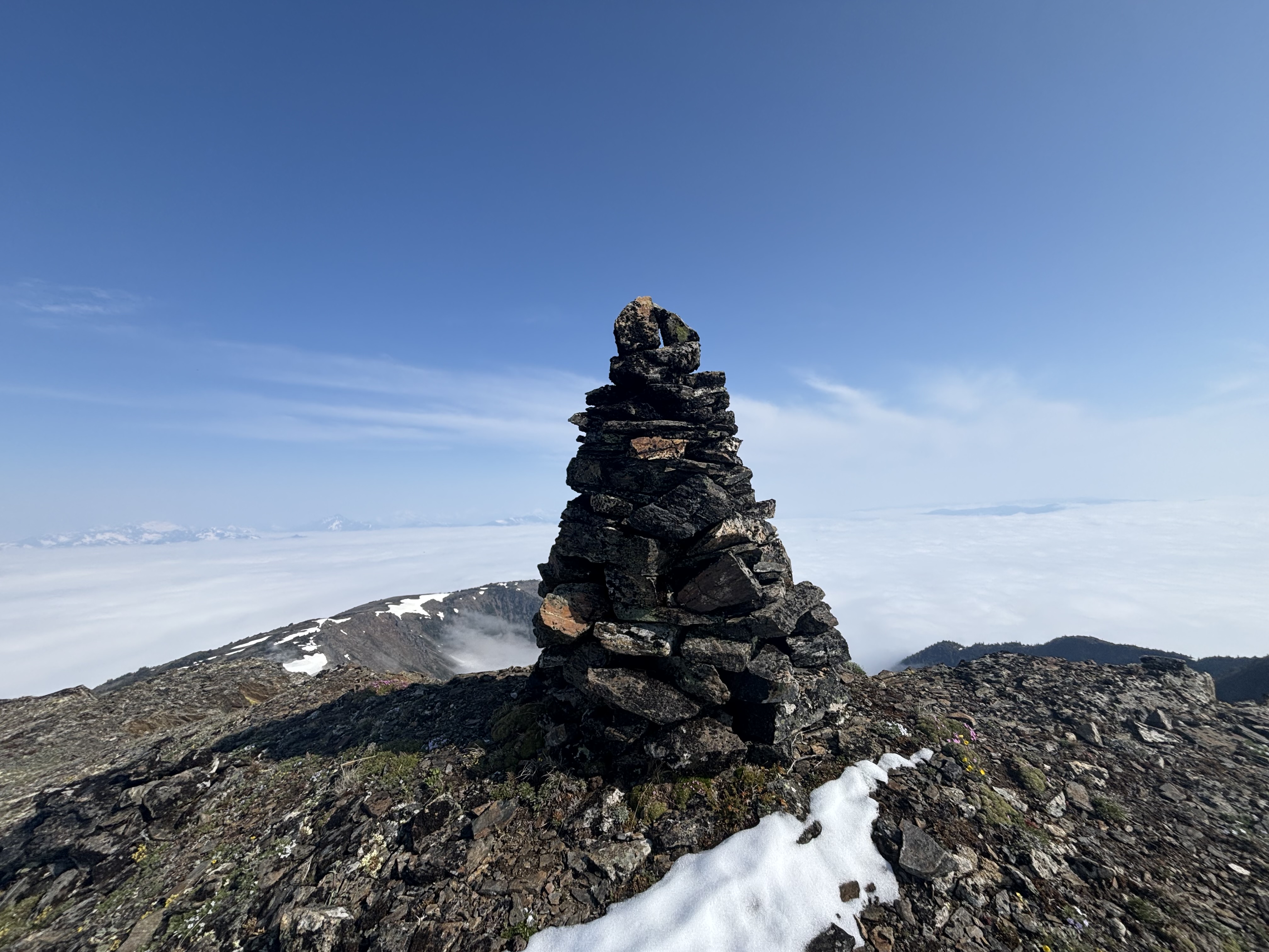
Summit was reached in 3hr45mins, I took a 15minute break soaking in the views & using the Telus cell service before heading back down - forecast was for building clouds, possible precipitation & maybe thunderstorms from noon onward, I wanted to be down before all that. Descent back to my bike went ok, the lower forest still sucked but it was relatively short at least. The bike ride down was a blast, 400m loss on a decently smooth FSR over 4km. I treated it like a green flow trail & even managed to get a bit of air from some of the waterbars - highly recommend taking an MTB if you go this way.
C2C time was 6hr20mins, elevation & distance stats are similar to the other route but I do think still this may be a better way than the route from the east given the bikeable FSR & (mostly) lack of alder.