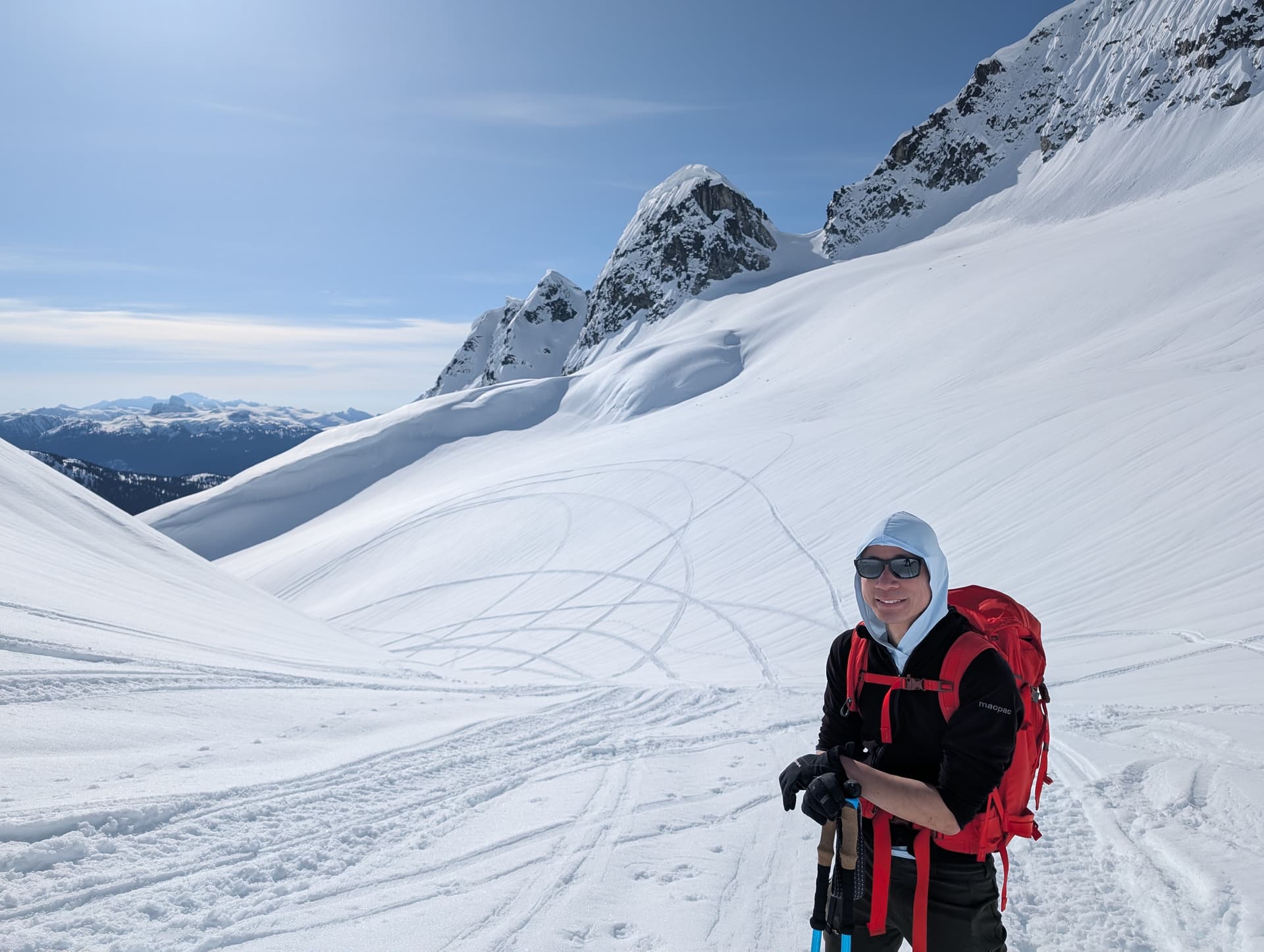
With Tanja and David S. Took the Roe creek access for Cypress Peak. Made it about 5.5km up Roe Creek FSR to a little over 700 meters. AWD SUV. Snow and ice stopped us. Chains likely needed to go further in the near future. Lots of water bars after this. Probably need a high clearance 4x4 to get significantly farther in the summer.
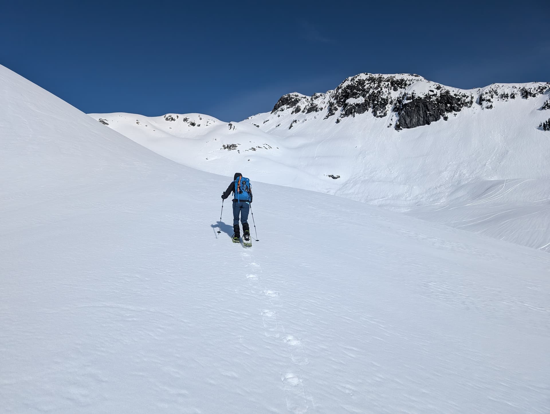
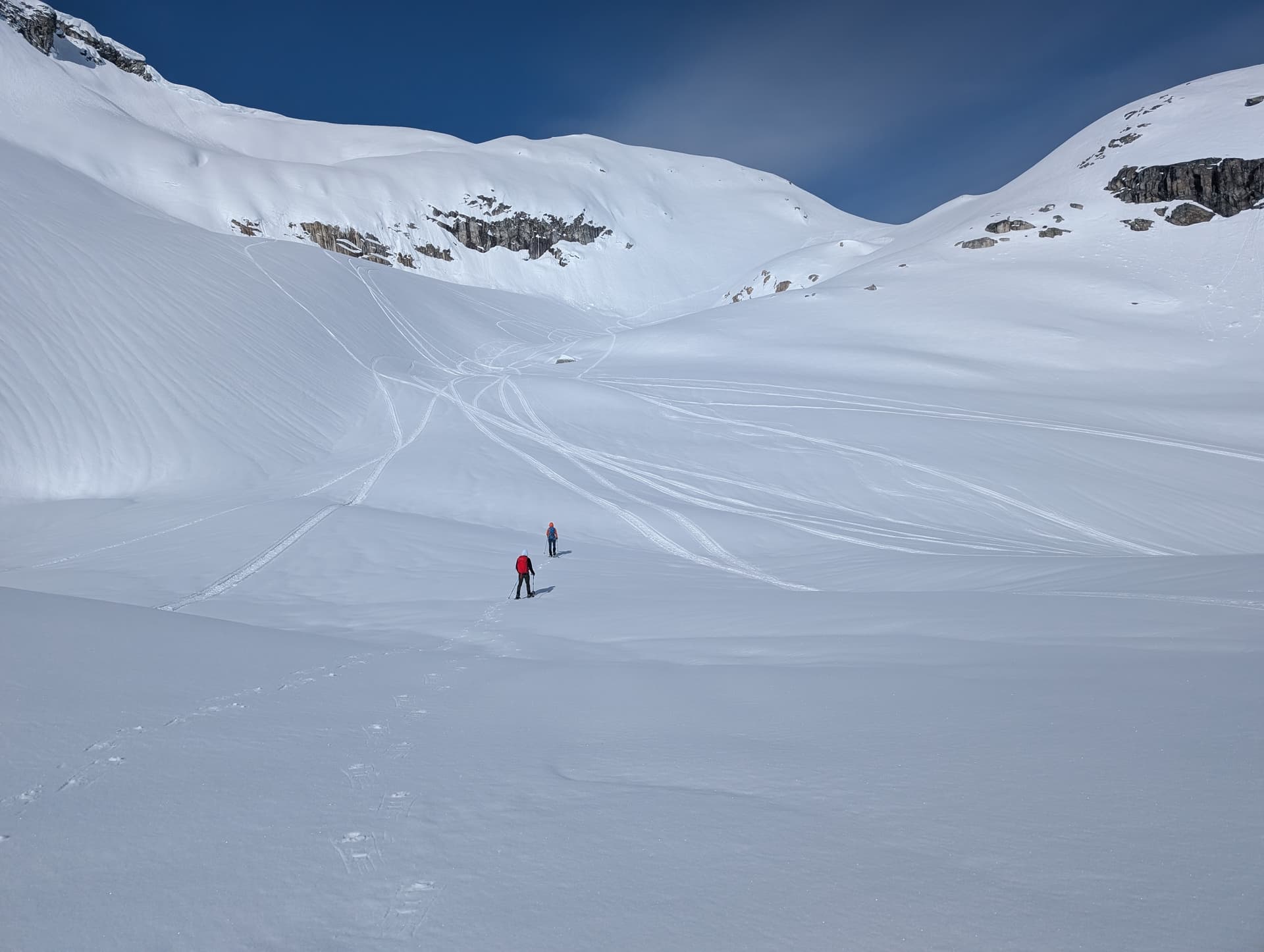
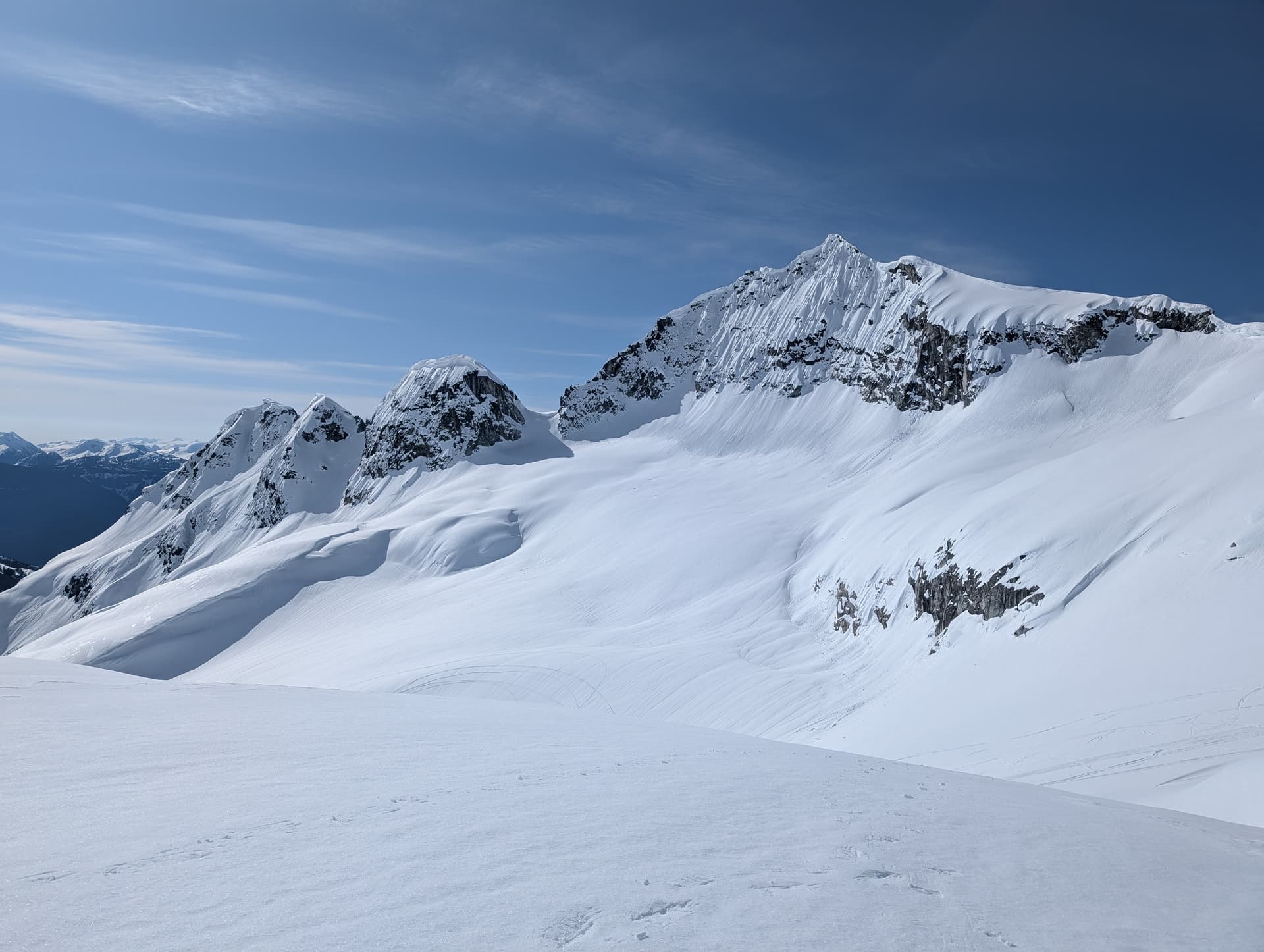
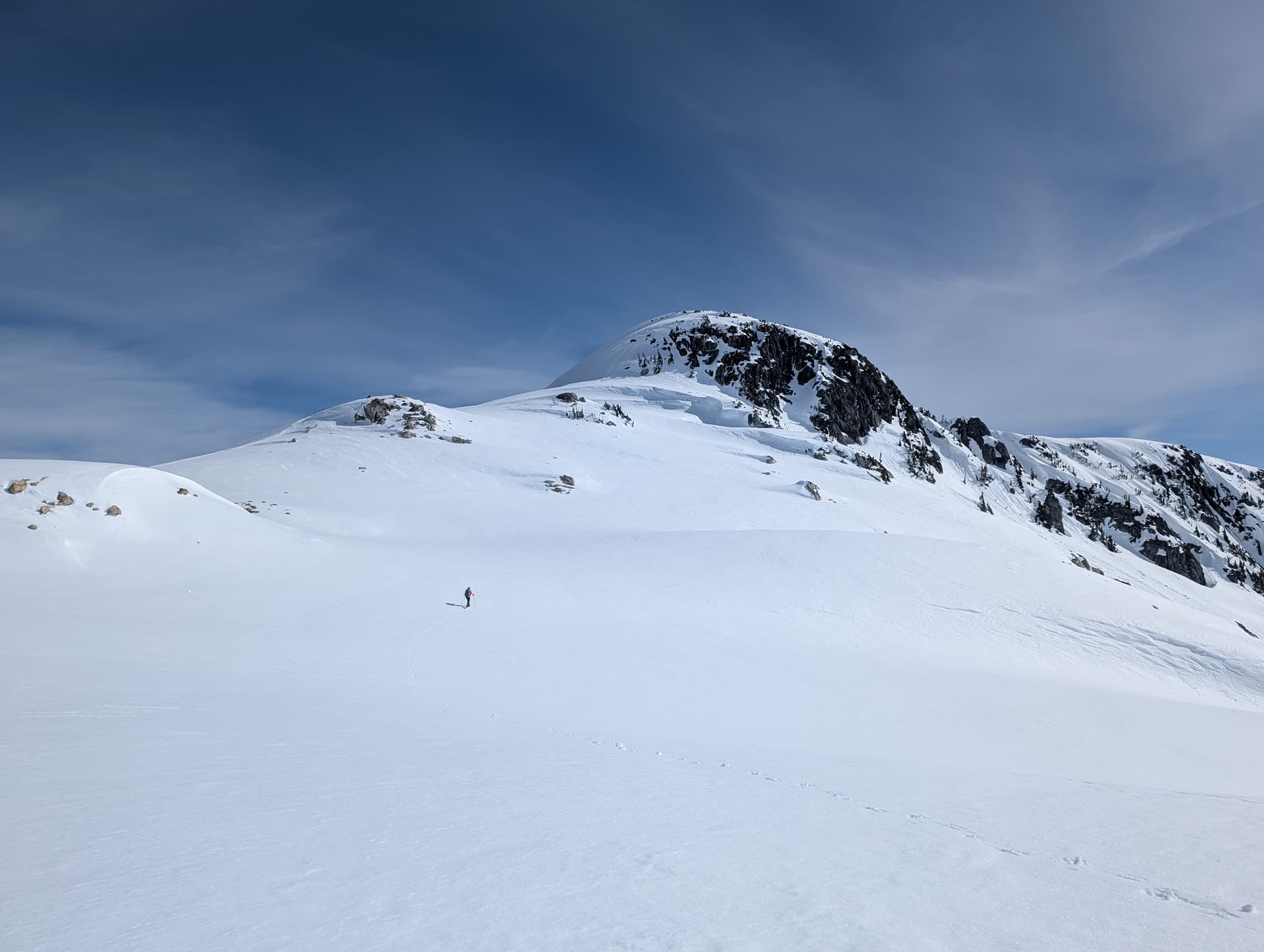
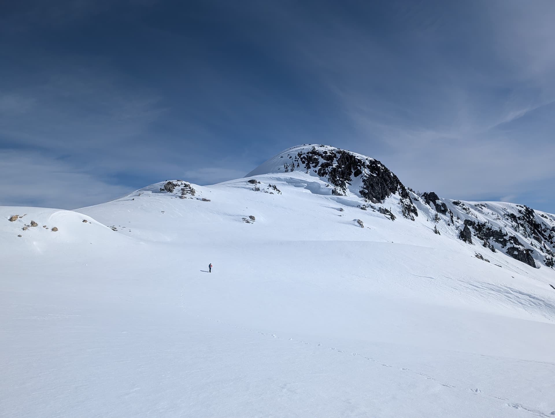
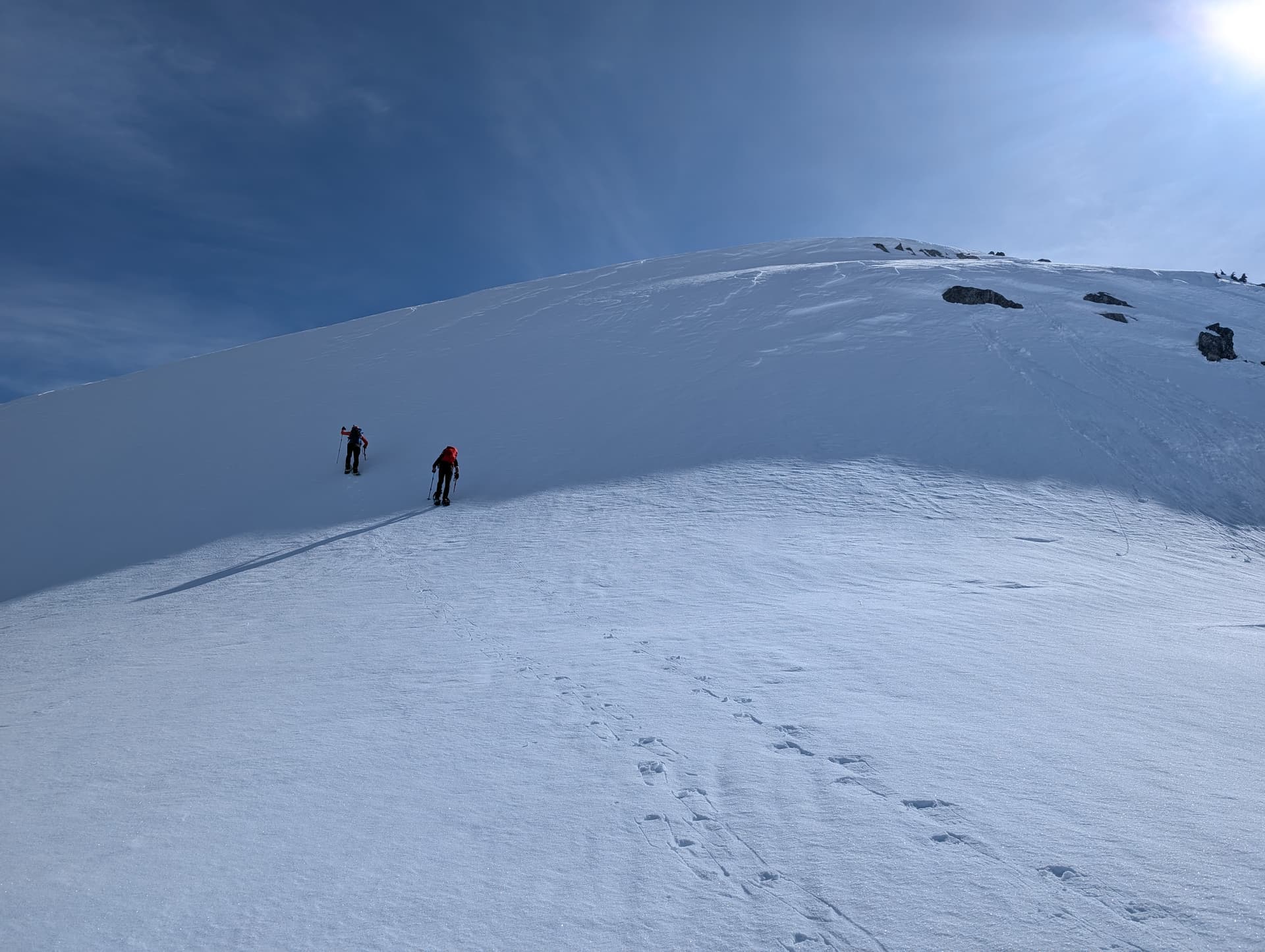
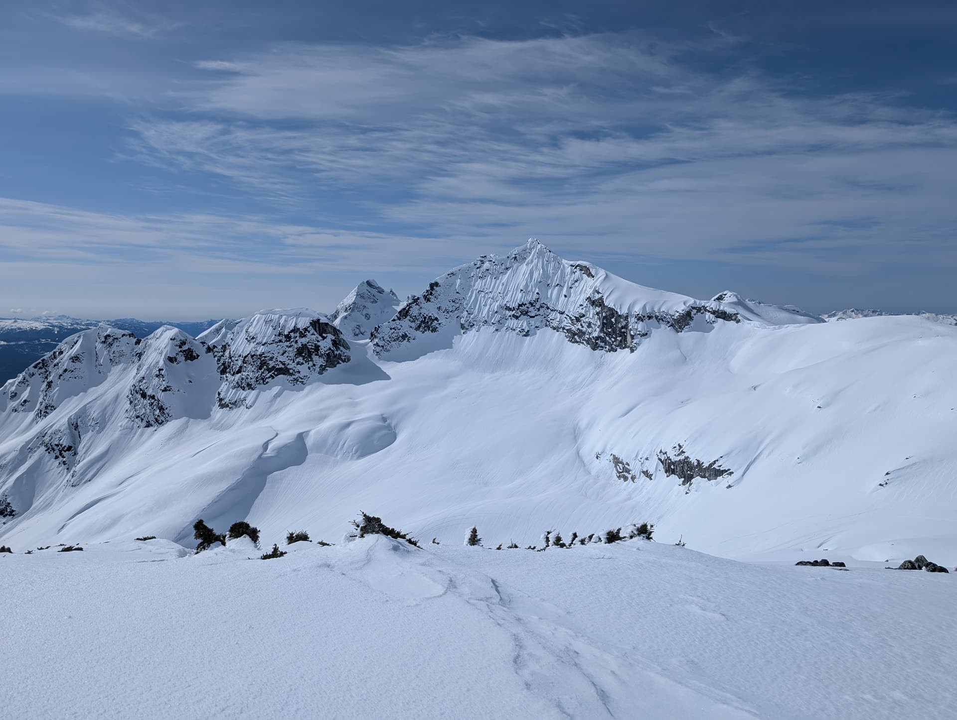
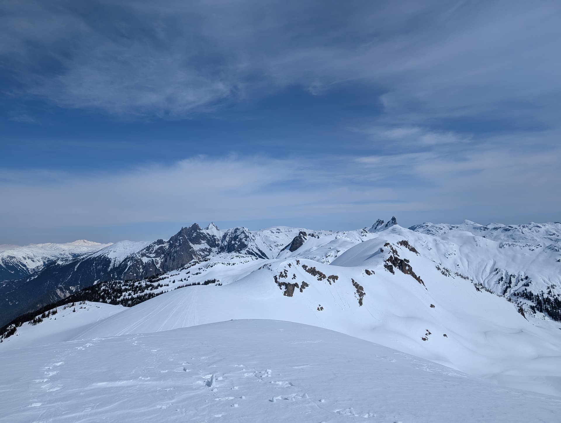
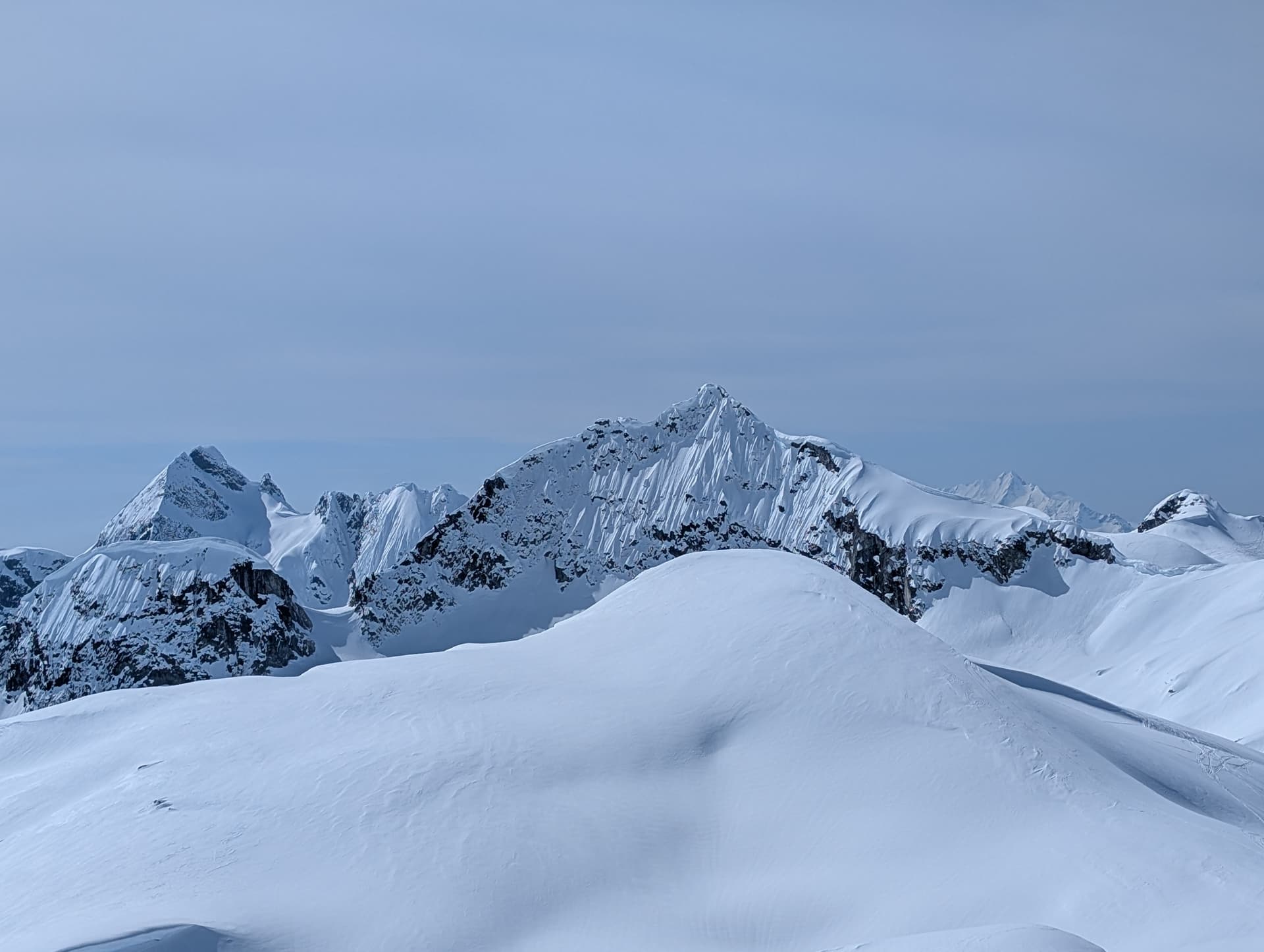
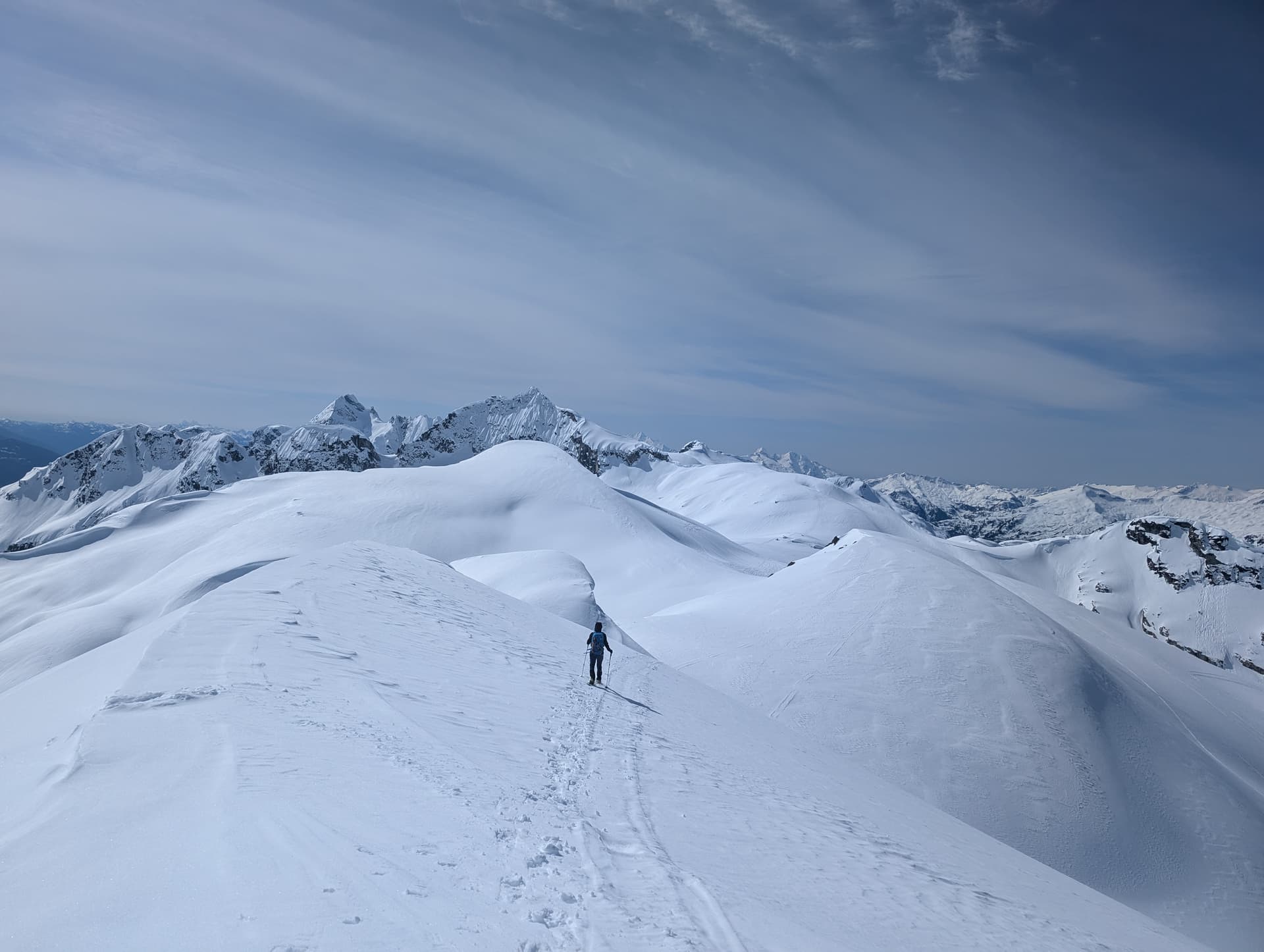
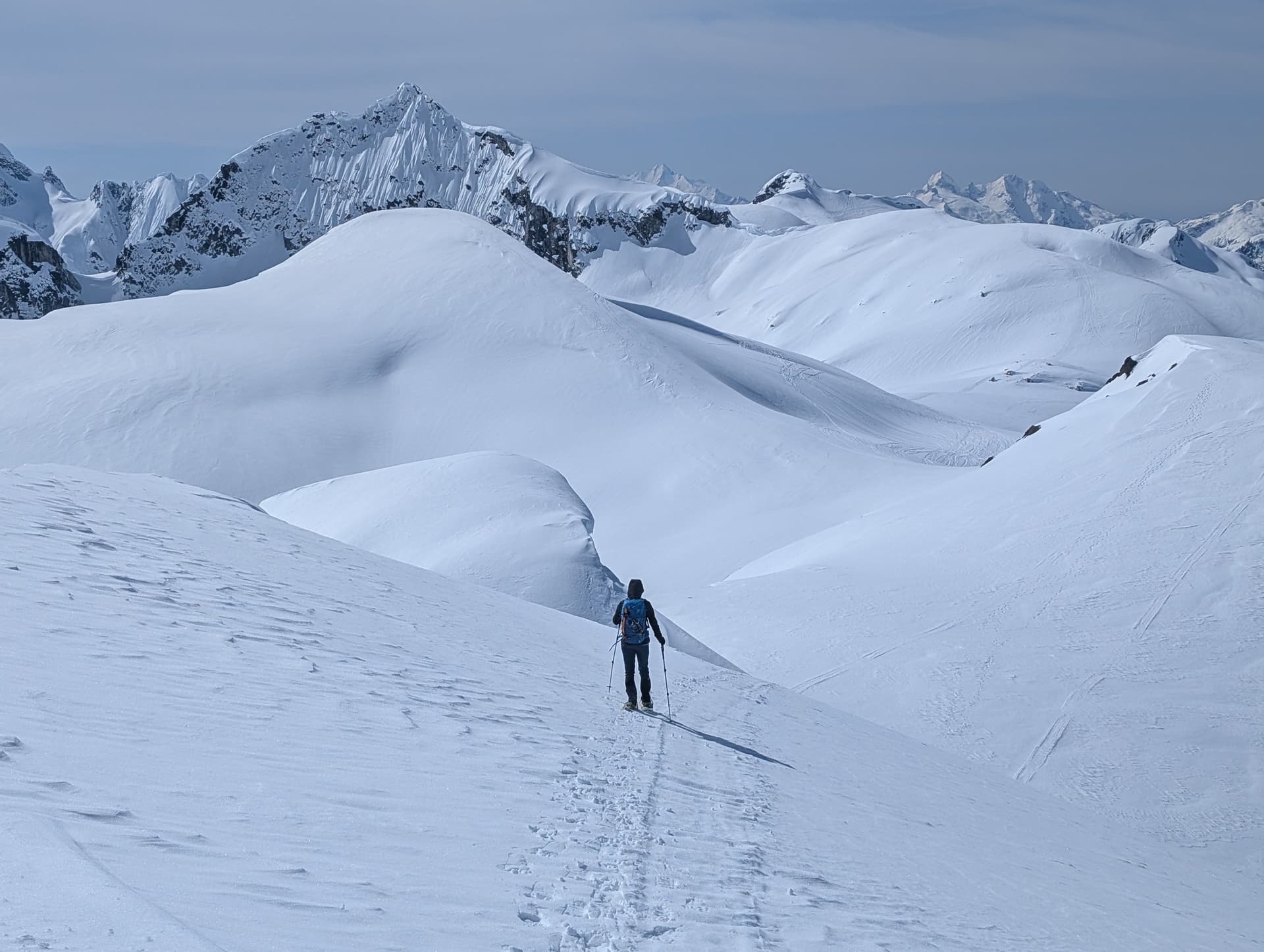
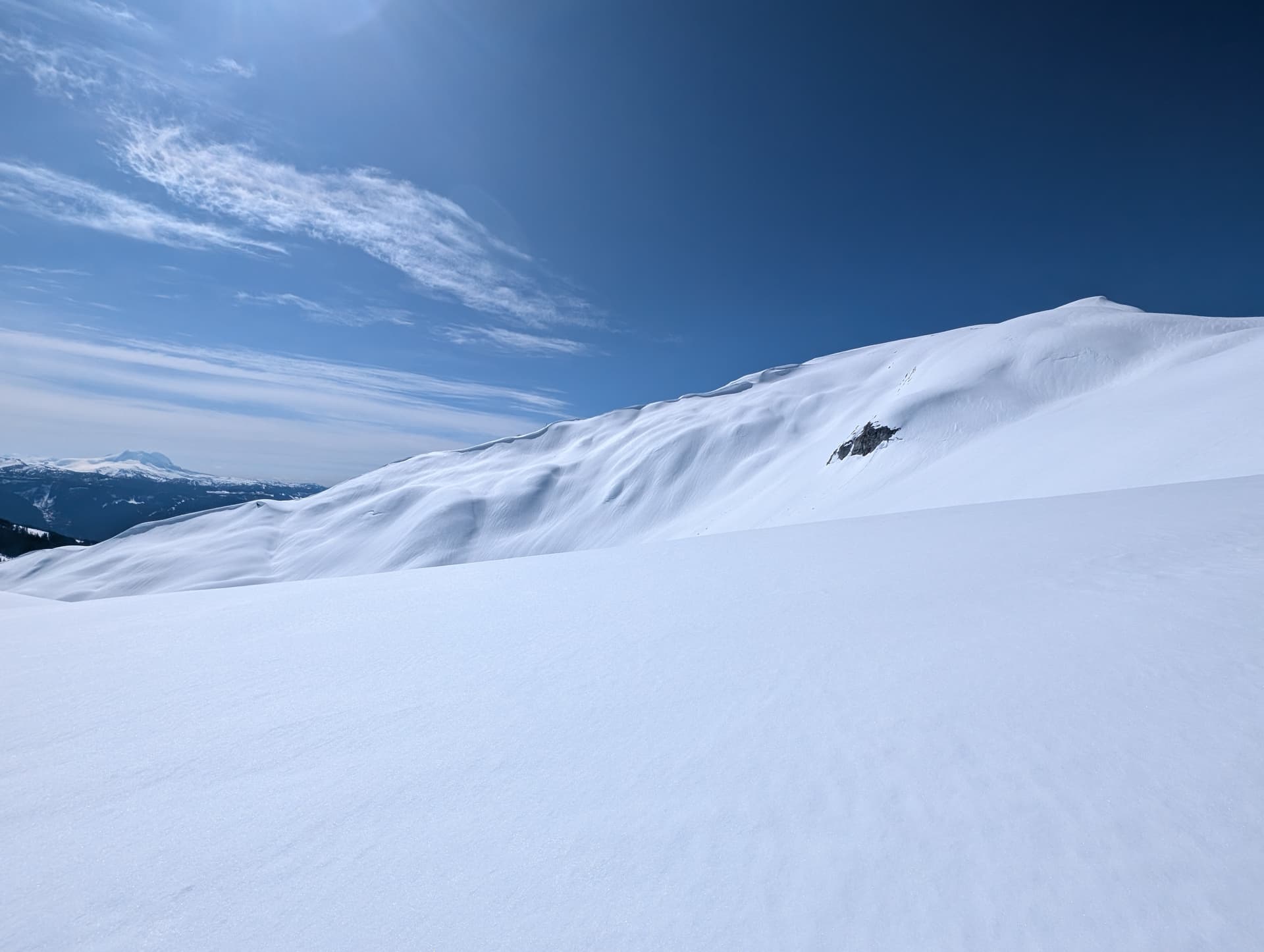
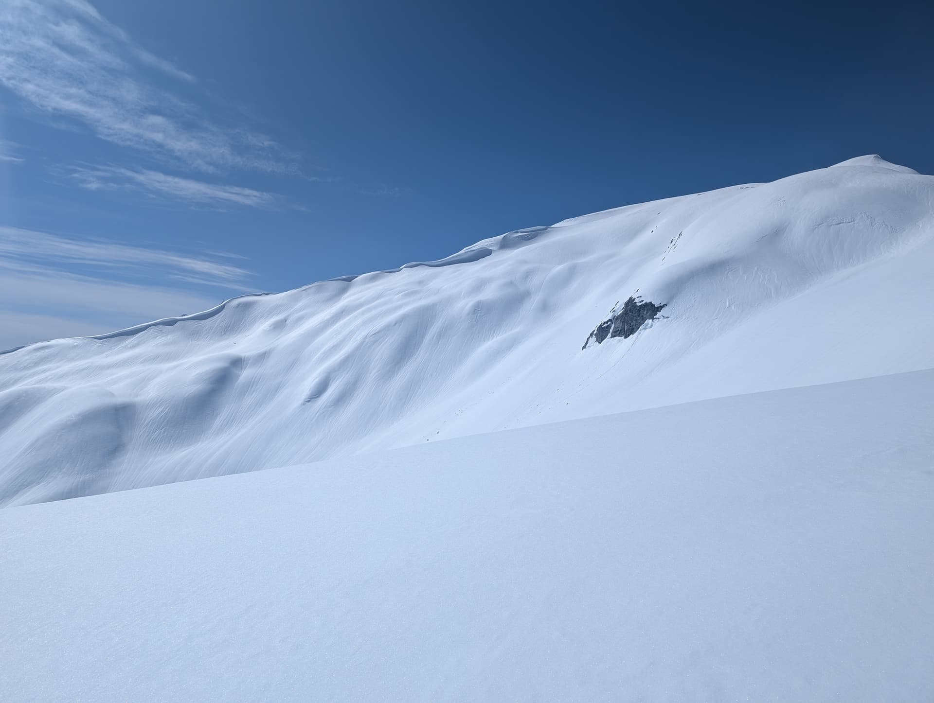
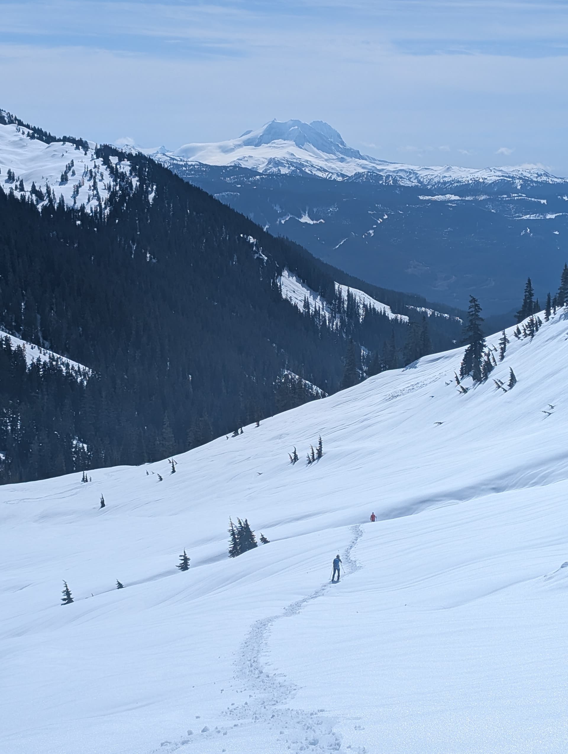
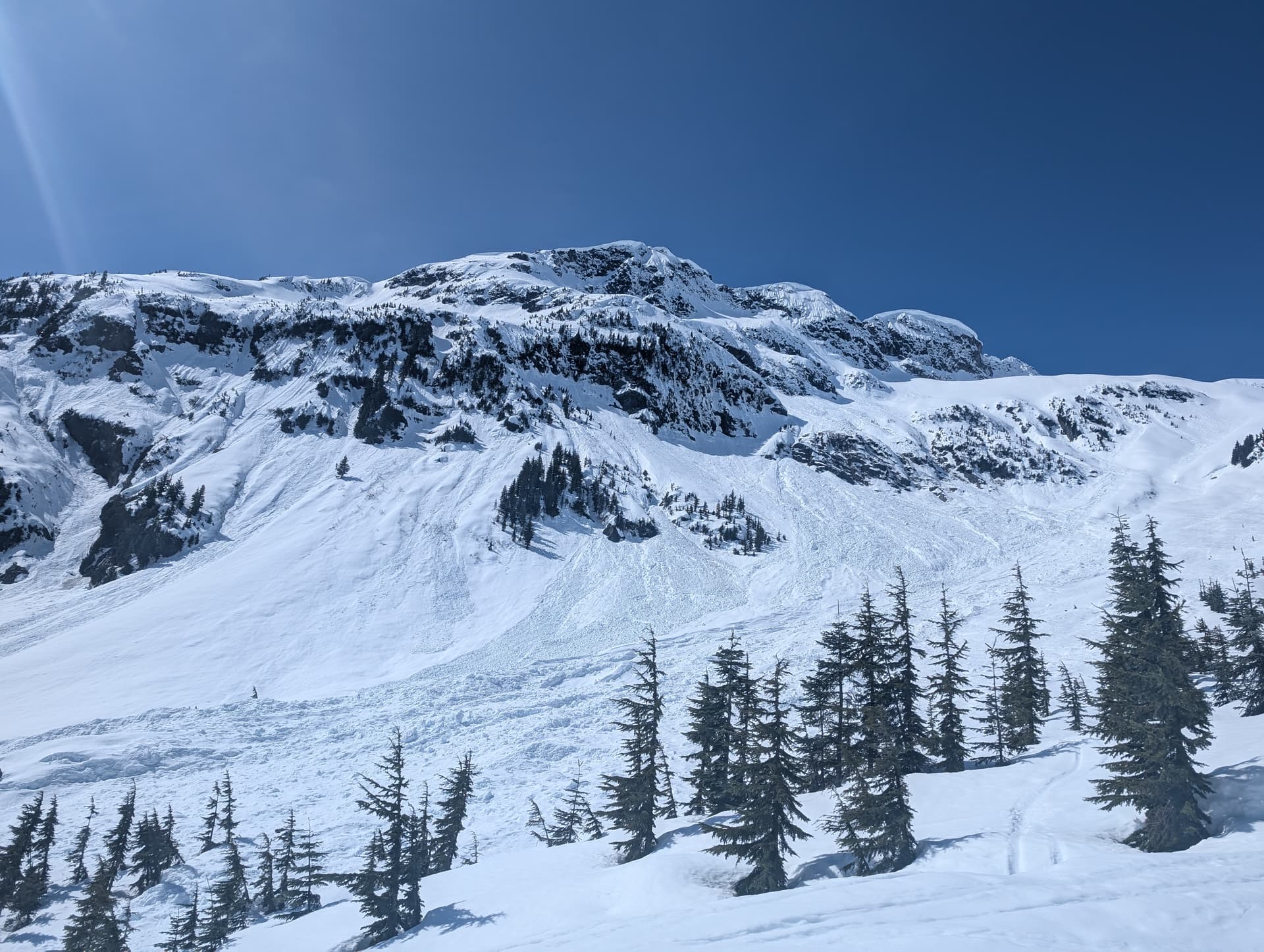
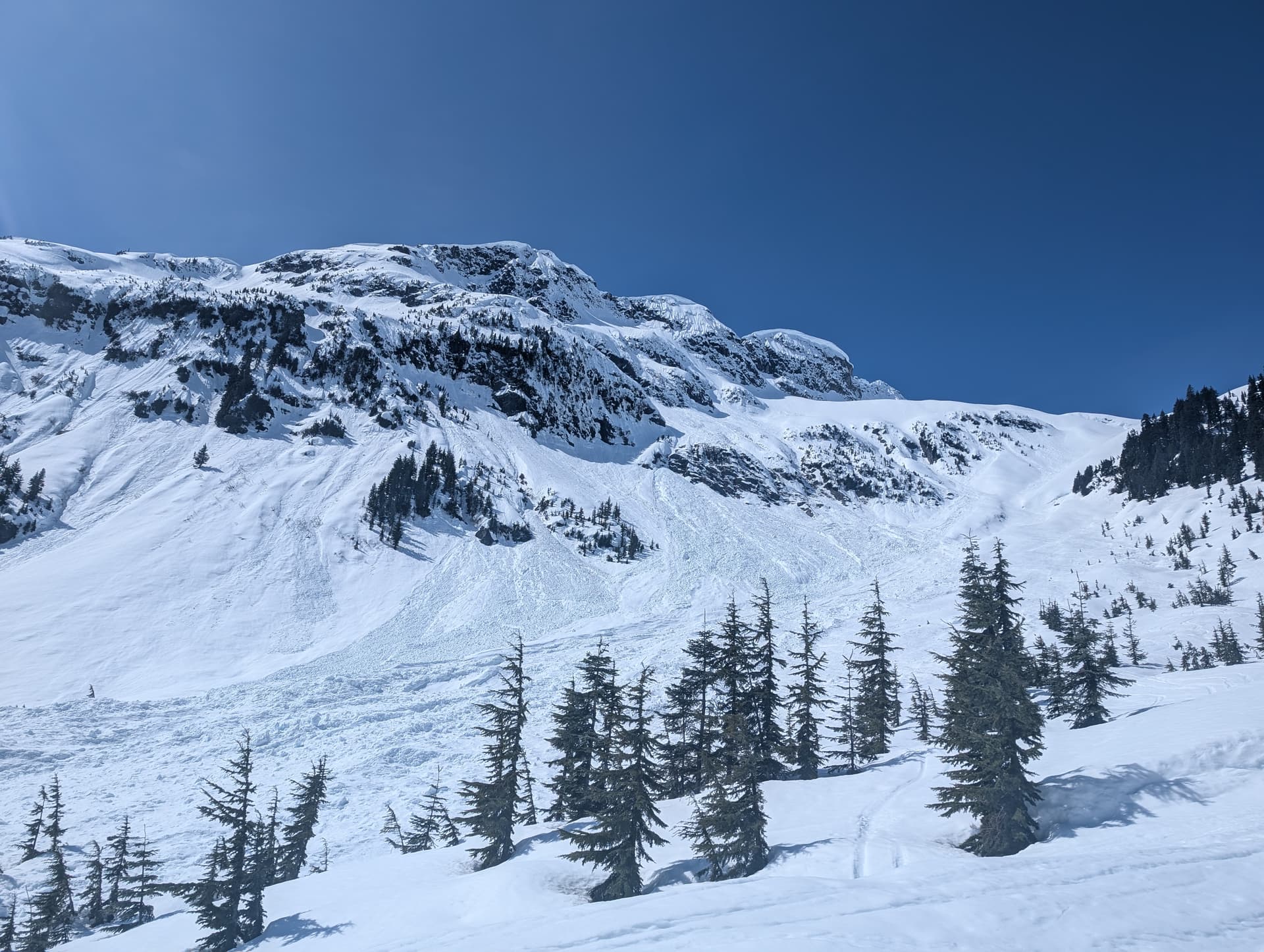
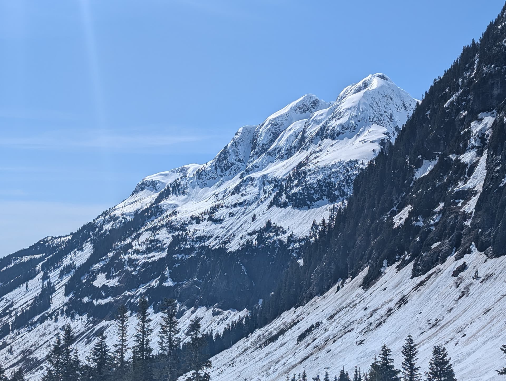
7km FSR plod each way to get to the drainage between Cypress Peak and Roe peak. Stay on the FSR/snowmobile track to make crossing the creek easier. We tried to shave off a bit of elevation gain and cut across the creek early but just ended up in a large avalanche debris field. Firm snow early in the day/lower elevations and snow got softer as the day went on. Did not see any avalanche activity. Once on the ridge we turned right (left goes to Cypress Peak) for Roe Peak. Easy stroll up to Roe and then Sheila. We followed the valley down between the two for some variation on the way down but it was probably about the same distance by the time we met up with our track on the FSR. Started with microspikes in the early morning switching to snowshoes when the snow softened.
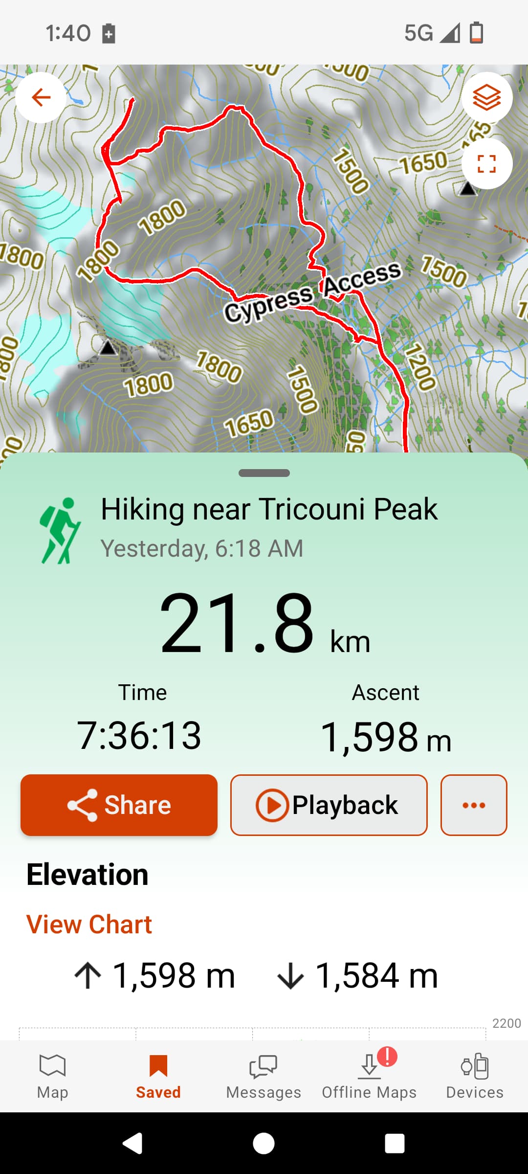
7:35 C2C
21.8 KM
Probably about 1400m elevation
5