May 11, 2025
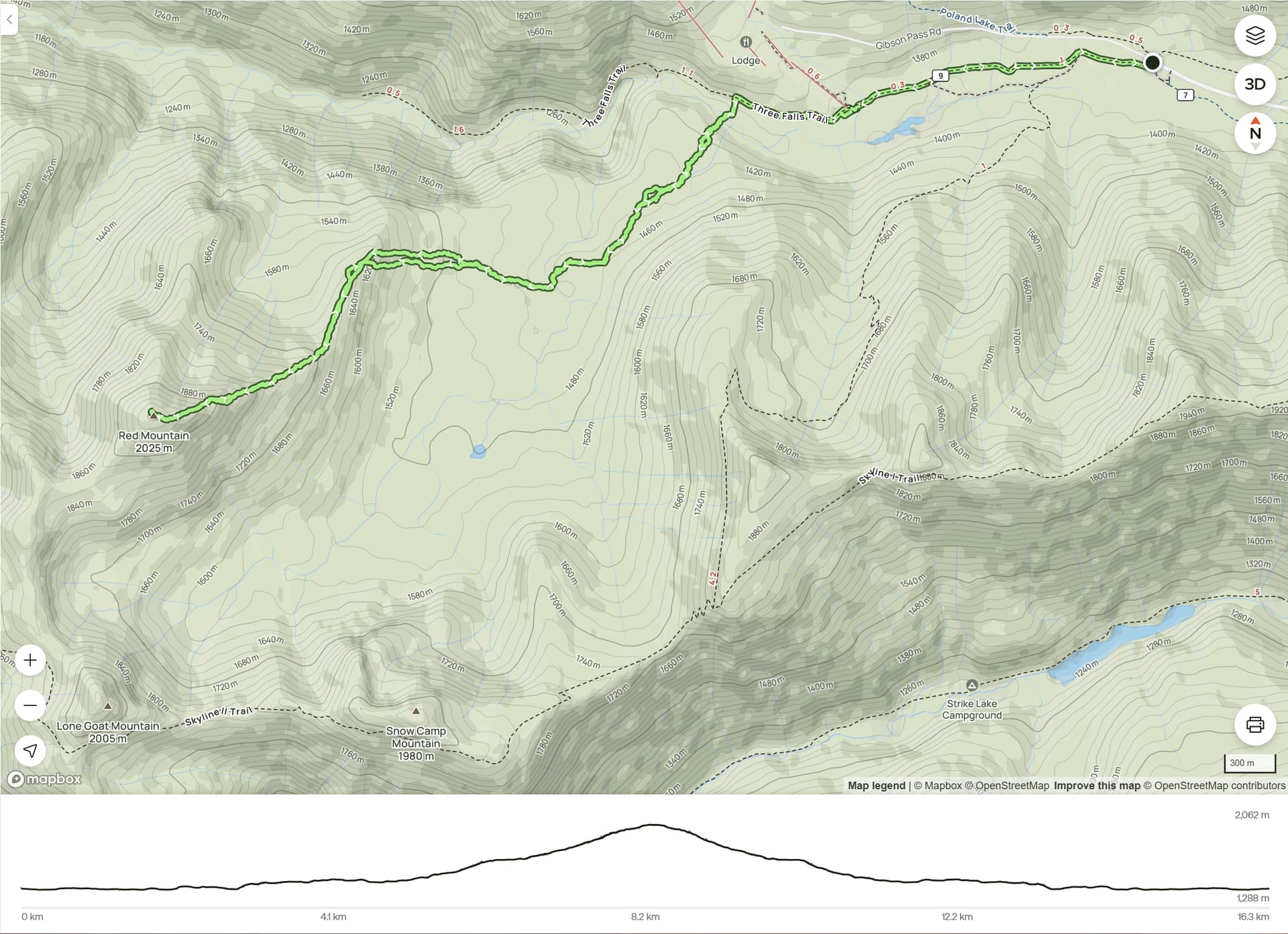
Distance - 16 km
Elevation gain - 950 m
Round trip - 8 h
Trailhead access / coordinates - 2WD / Strawberry Flats Parking (49.06676, -120.885)
Gear - snowshoes
In pursuit of good weather, we decided to head into Manning Park for a new objective. A few years ago, we hiked the Skyline Trail, summiting Snow Camp Mountain and Lone Goat Mountain. However, Red Mountain had remained untouched. This time, instead of repeating the long standard approach, we opted for a shortcut and aimed to ascend Red Mountain via its northeast ridge.
From the Strawberry Flats parking lot, we followed the Three Falls Trail for 2.8 km before leaving the trail and descending to Nepopekum Creek. We crossed it using a fallen tree - there were plenty of such natural bridges, so the creek crossing wasn’t an issue. After crossing, we continued southwest through the forest, aiming for a spot about 0.5 km upstream of Upper Nepopekum Falls, where we hoped to find another viable crossing. The plan worked surprisingly well. We found another fallen tree and crossed with ease.
From there, we continued west and began the ascent to the NE ridge. There was a short, steepish section closer to the ridge crest, but nothing too serious. Interestingly, on our return, we somehow bypassed that section entirely.
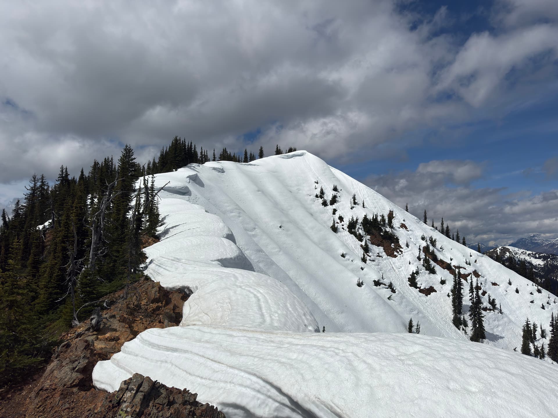
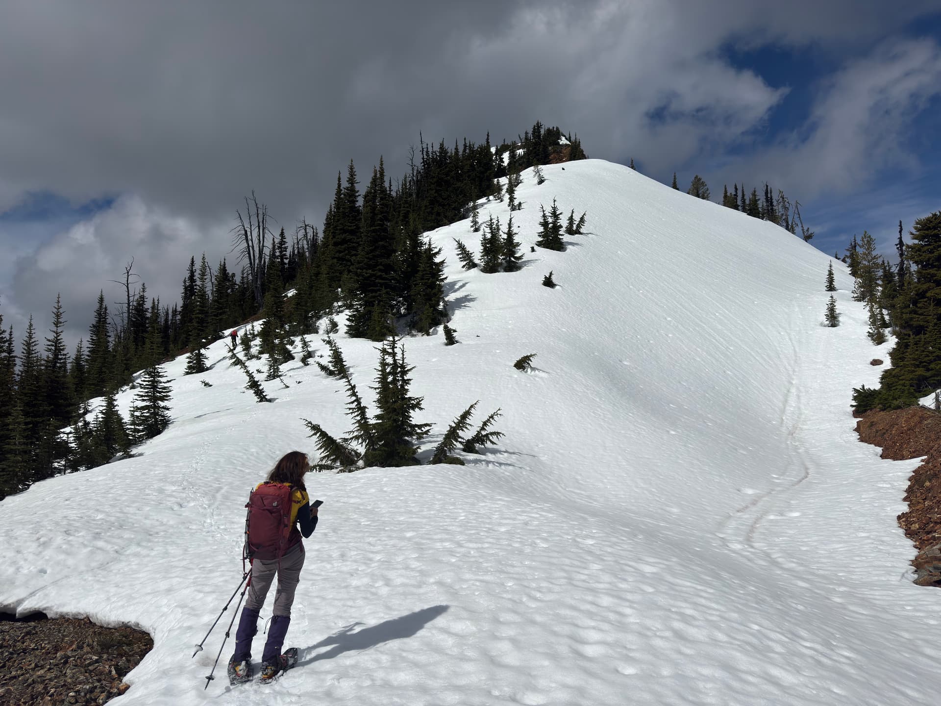
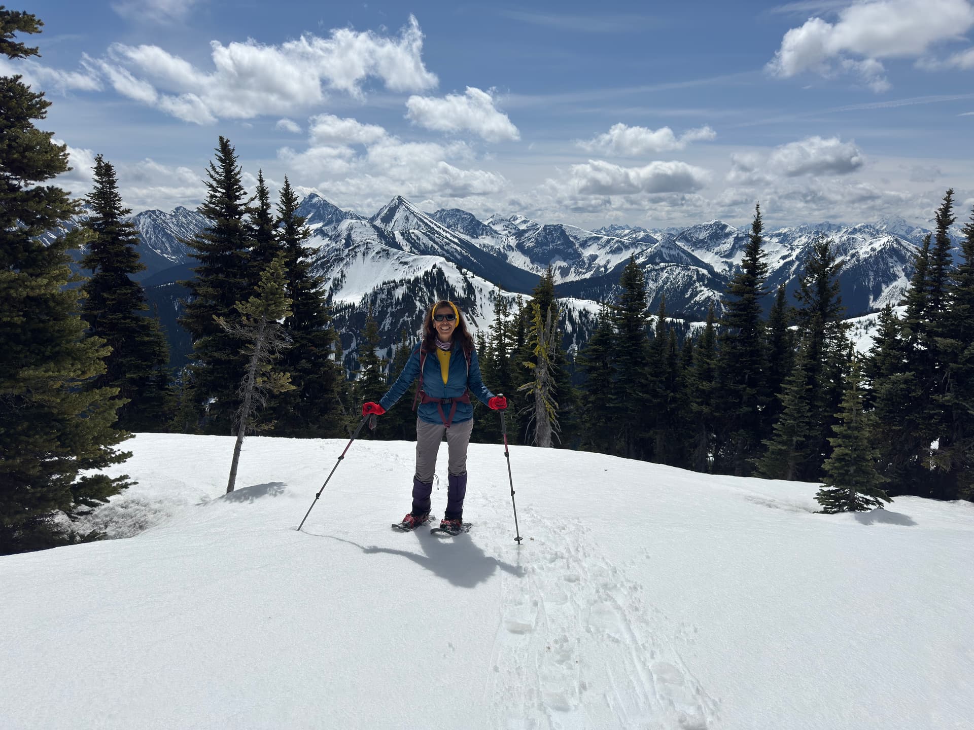
The start of the ridge was broad and fairly flat. Around 1,670 m elevation, the slope began to steepen, but the angle remained manageable in snowshoes. Some ridge sections were completely snow-free. The only steep and tricky part was around 1,930 m. It looked like an easy scramble from a distance, but up close it proved more challenging due to loose rock and clay with unreliable holds. We triggered a few small rockslides both ascending and descending that section.
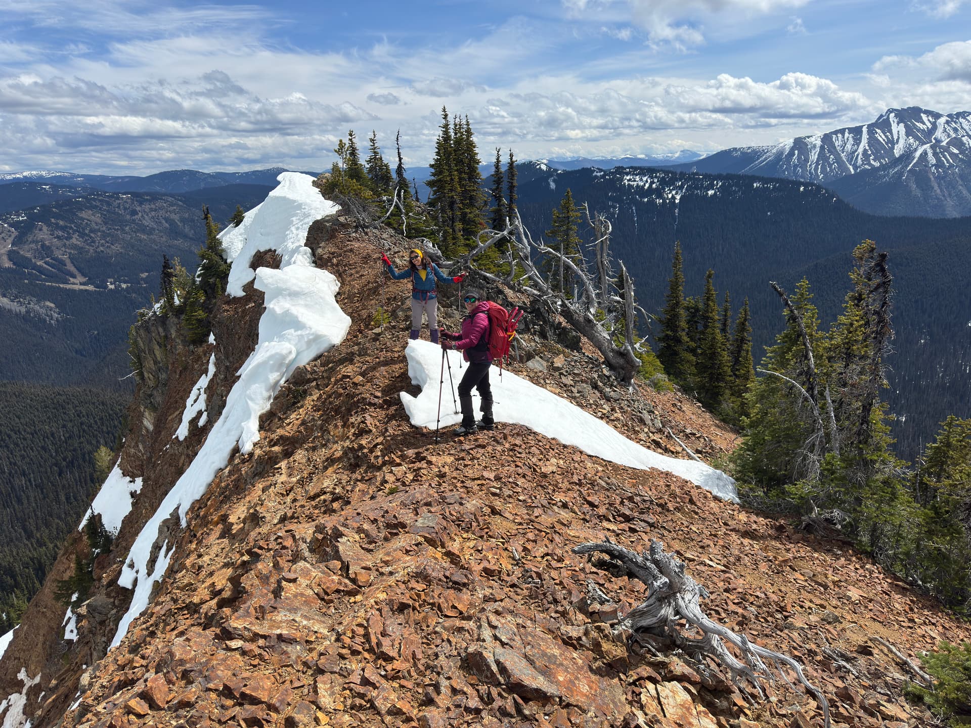
From there, it was just another 300 m to the summit. The ridge here was corniced, so we kept a safe distance from the edge. The summit offered good 360° views, with Hozameen Mountain looming to the south and Frosty Mountain to the southeast. It took us four hours to reach the top. After a break, we retraced our route back.
A few final notes:
Snowshoes: We used them intermittently, putting them on and taking them off multiple times after the first creek crossing and up to the summit.
Bushwhacking: It wasn’t bad at all. In fact, I wouldn’t even call it a true bushwhack - just a matter of navigating around fallen trees.
Team: Forough, Liss and myself
GPS track: Explore Red Mountain | AllTrails
The summit
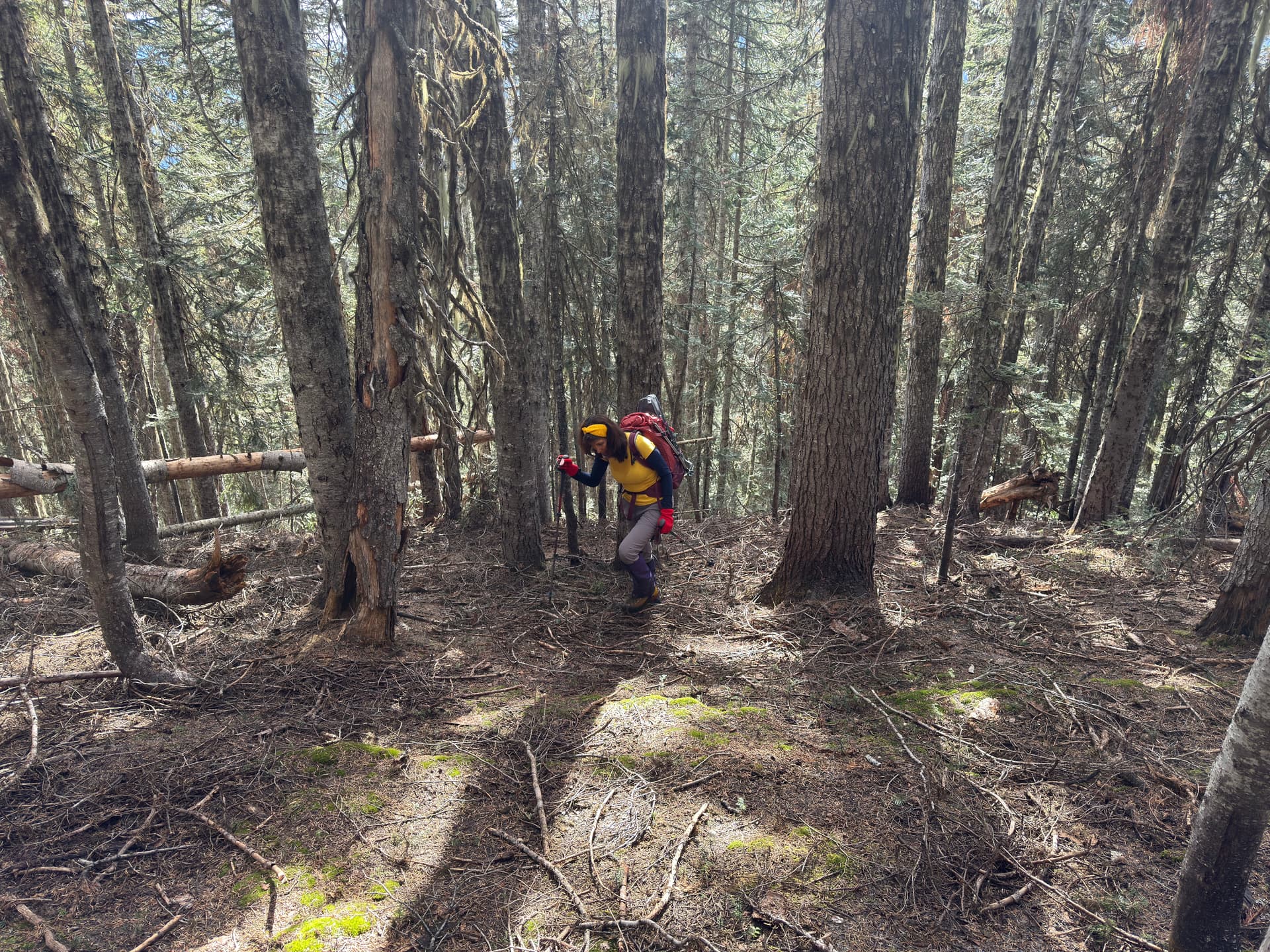
Fallen trees were the major obstacle in the forest.
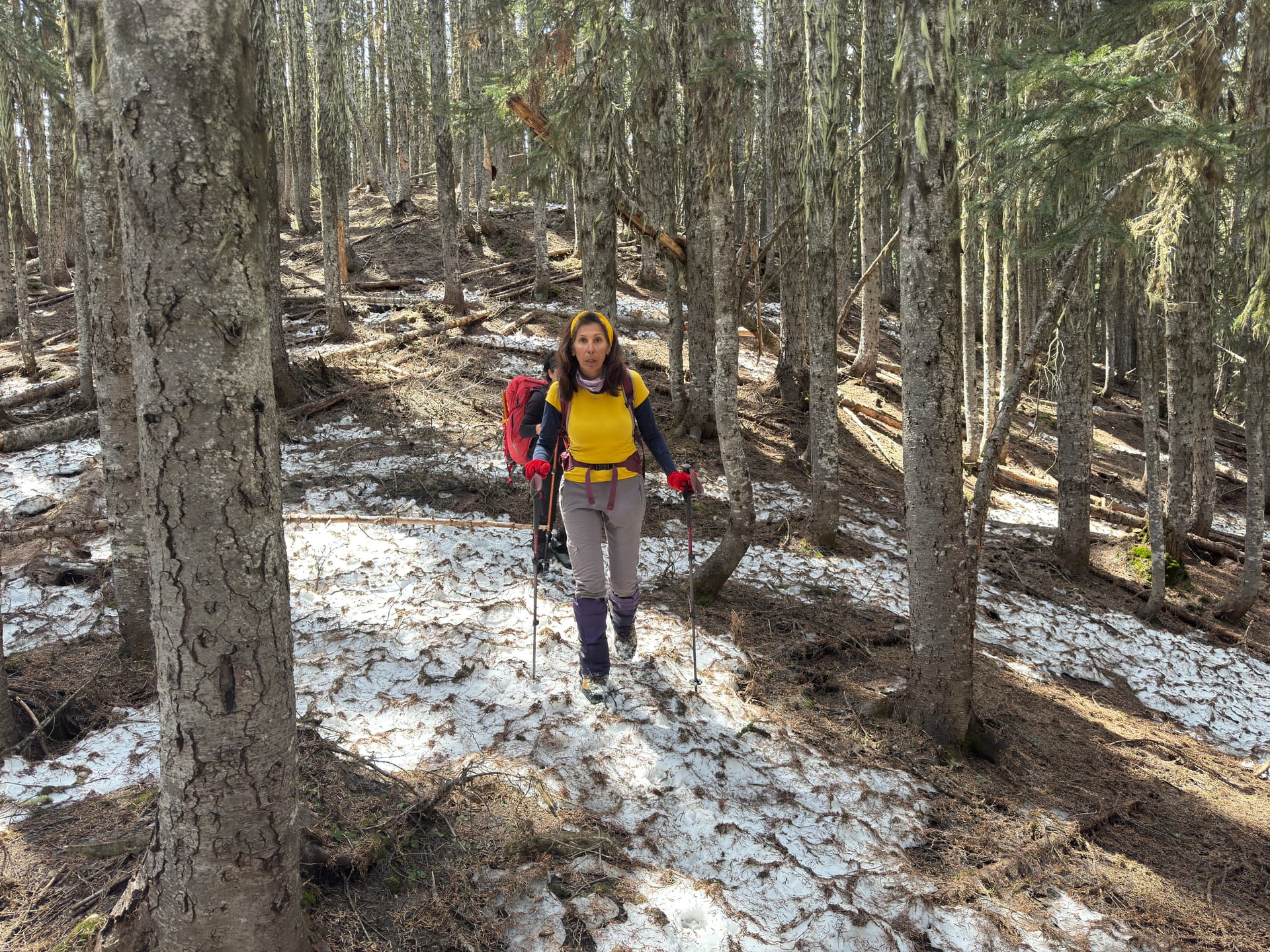
Some snow here and there. However, there is still enough snow to bring snowshoes.
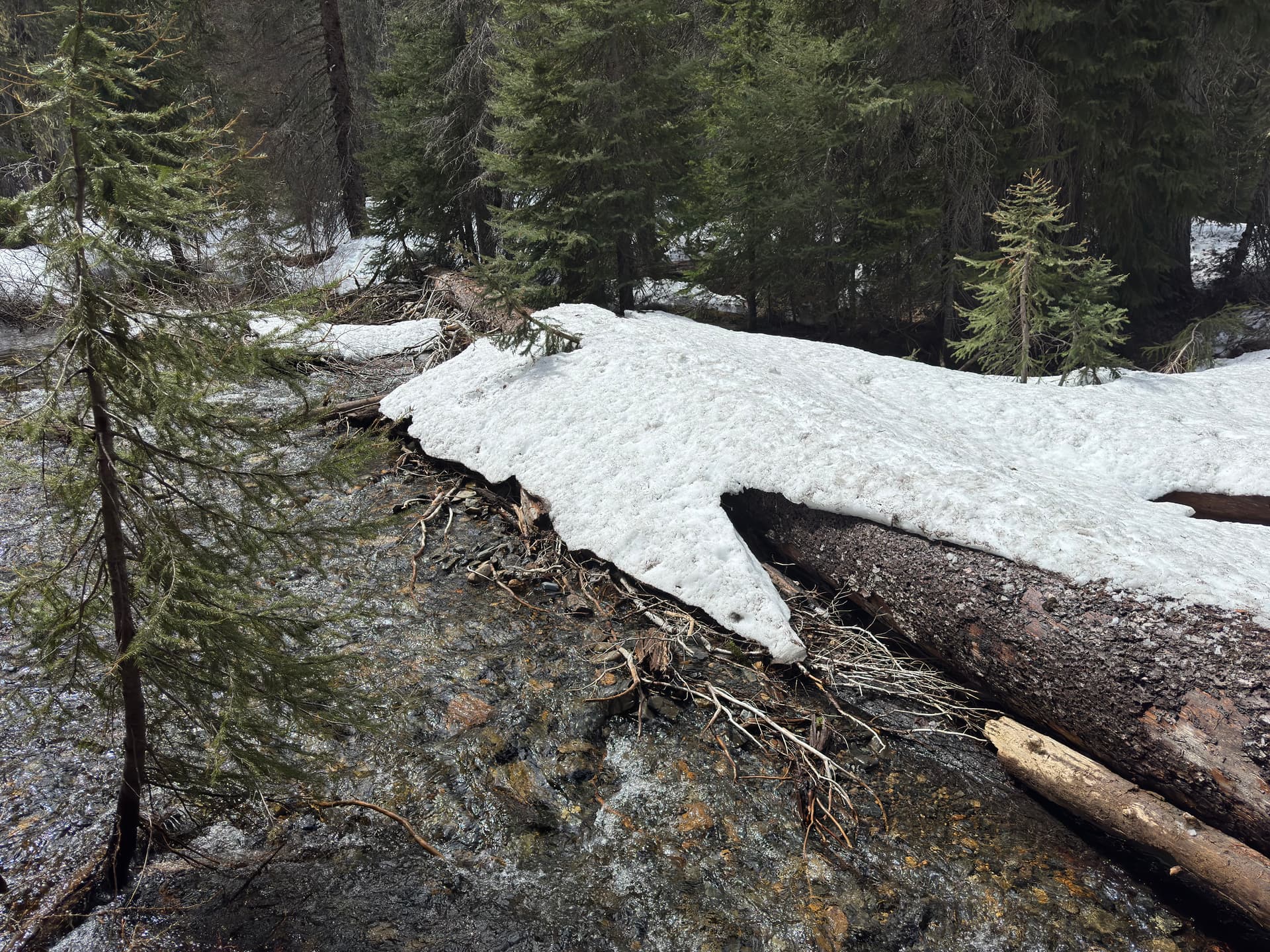
One of the two creek crossings.
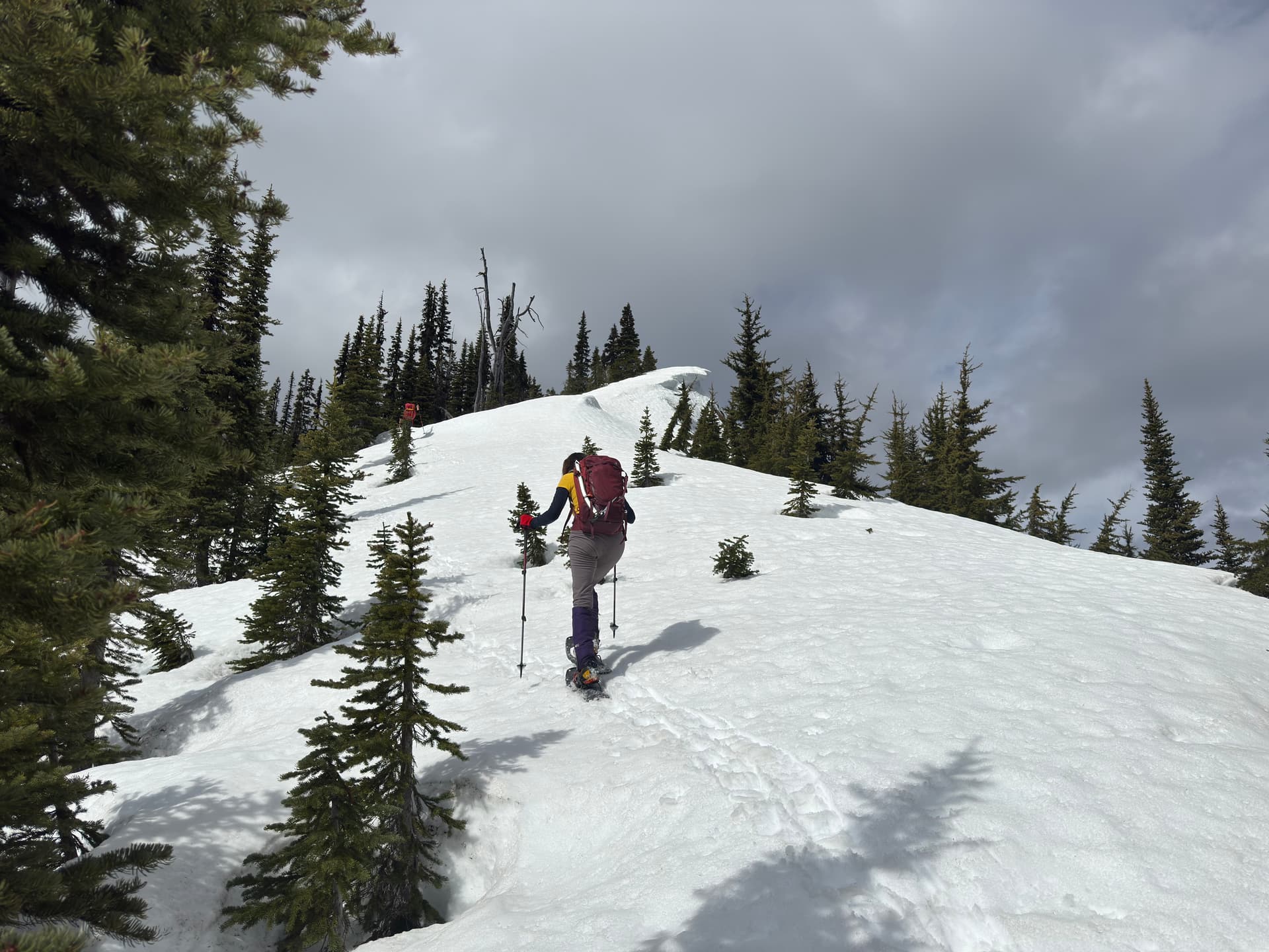
Out of the treeline on the ridge.
Not too steep.
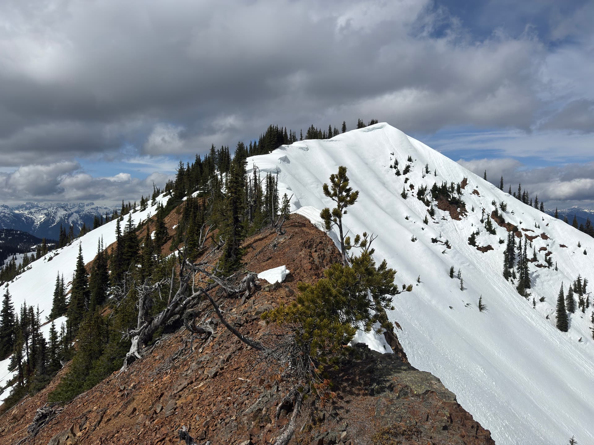
Last section of the ridge and the summit.
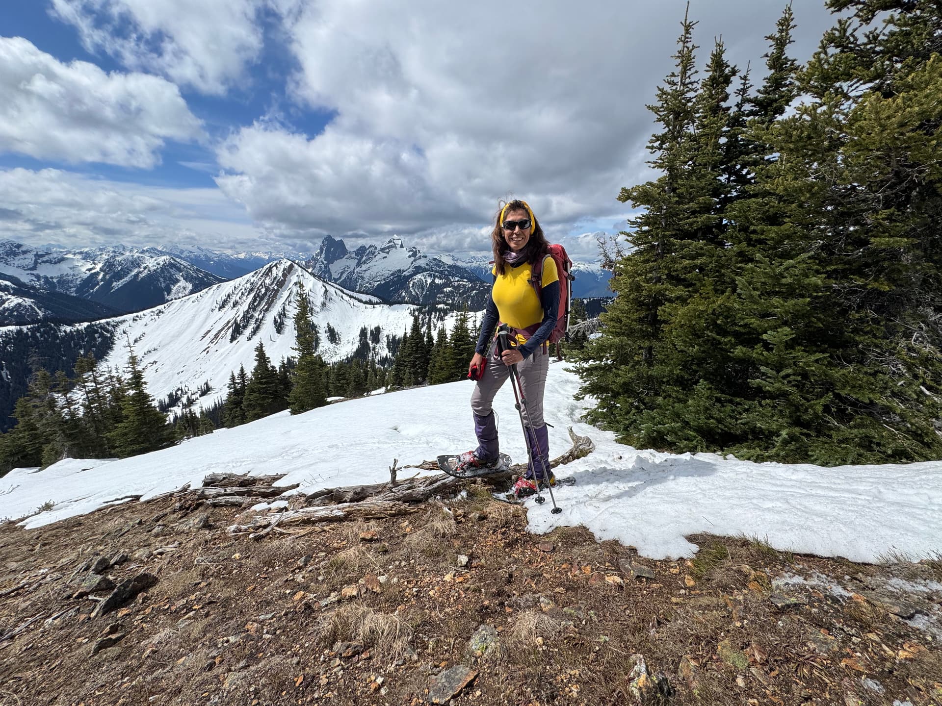
Views from the summit - Hozomeen Mountain in the backdrop.
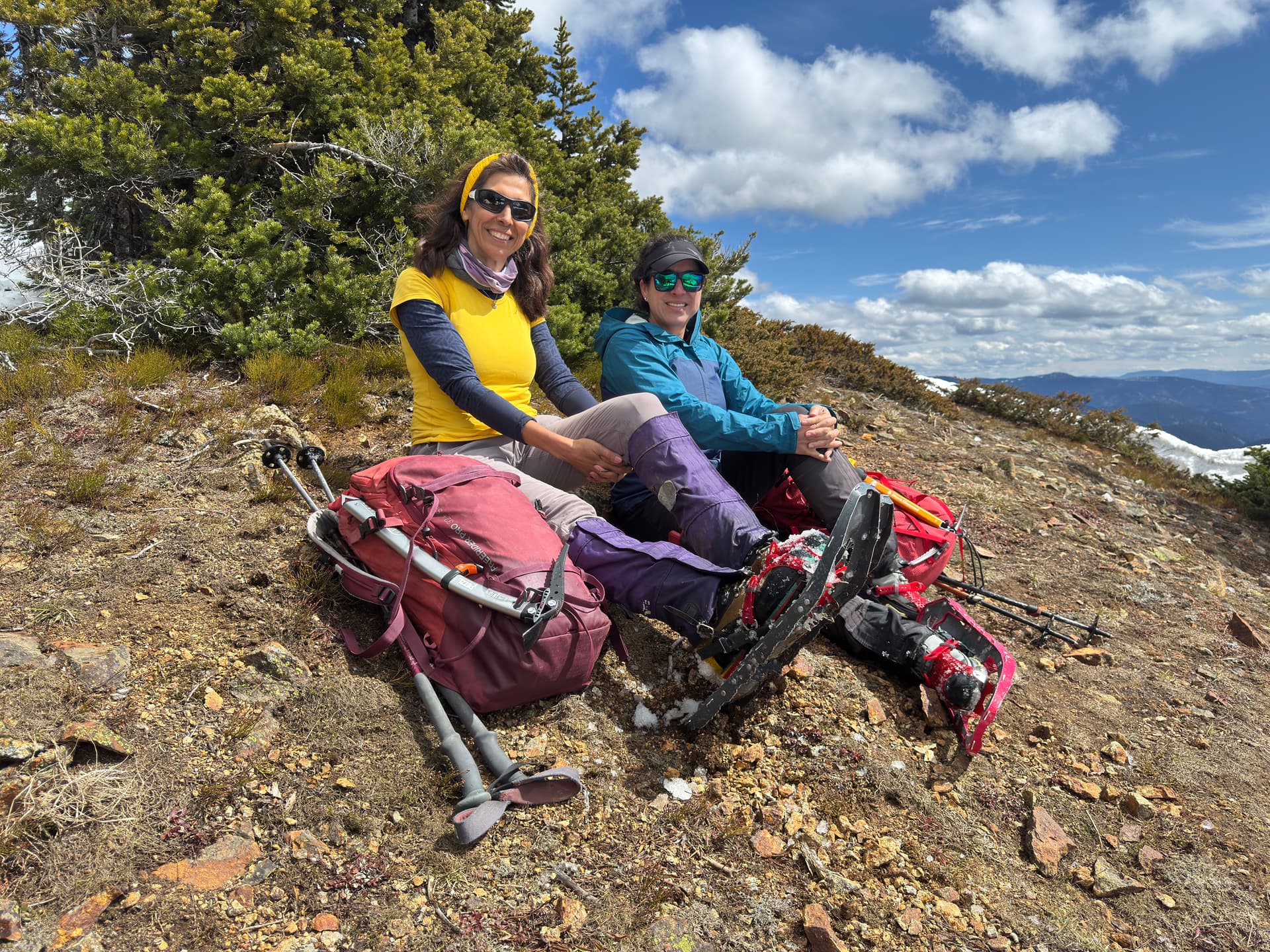
Enjoying the views
Frosty Mountain in the background
Snow free section of the ridge
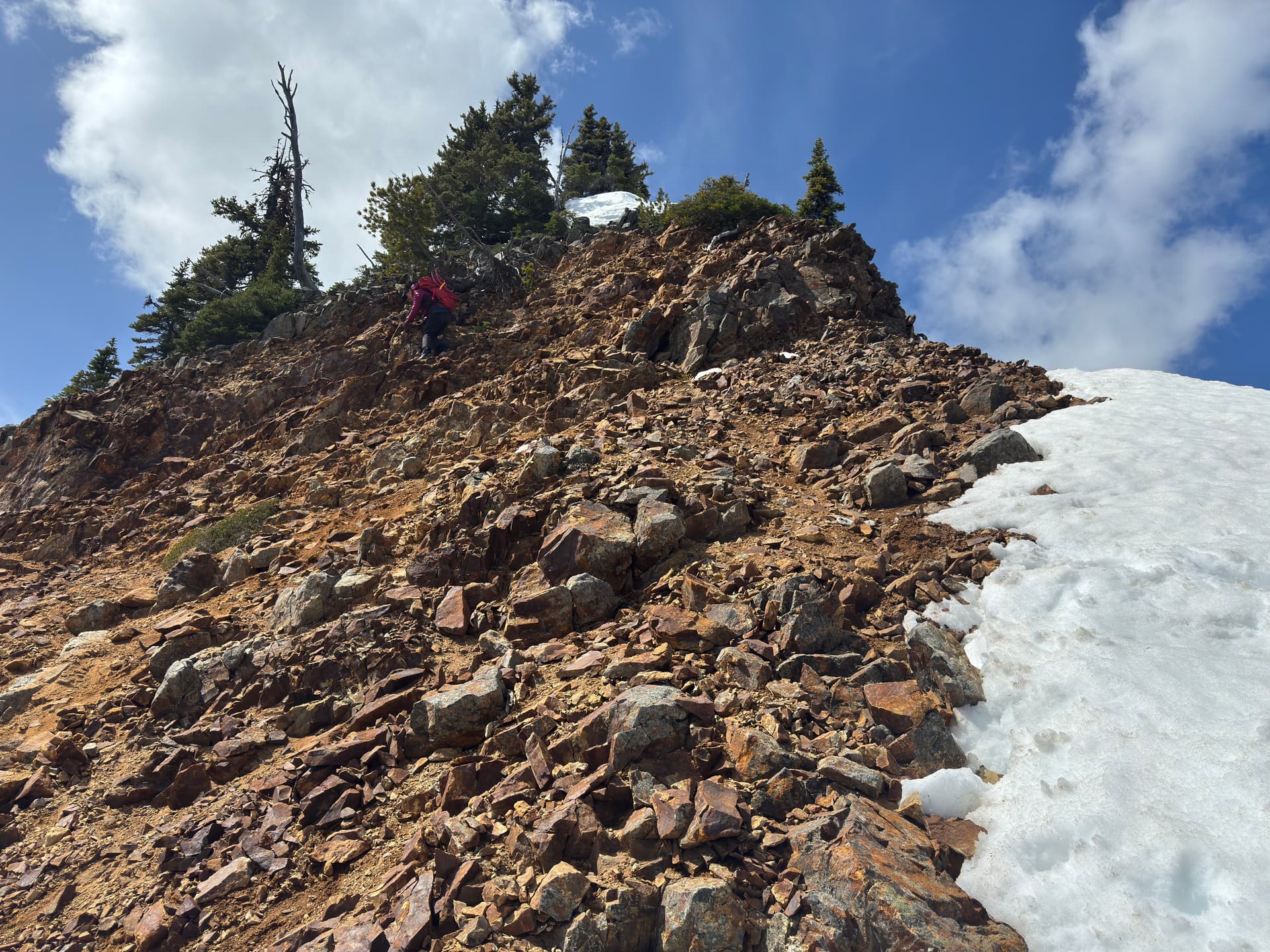
The “tricky” loose and steep scramble section
Our track