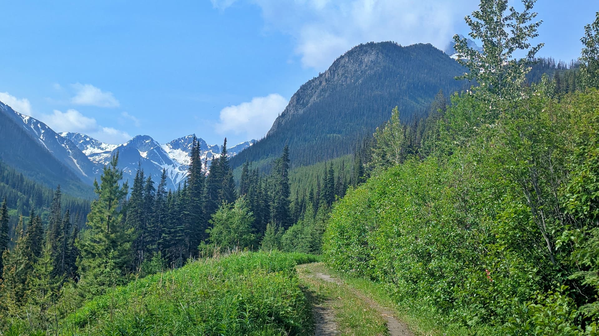
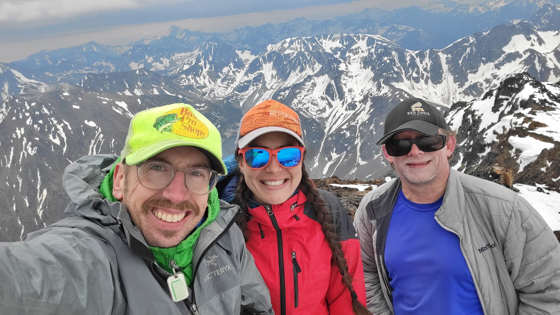
Mount Truax has been on mine and Katie’s radar for a few years now. It has a more than a couple things going for it. First off it’s the 7th highest peak in the loosely defined SWBC region. I"m wanting to get the top 10 of the highest peaks in SWBC so now it only leaves 3 left. It’s a p600m peak and it’s up in the Chilcotins overlooking the small town of Gold Bridge which is an area that we enjoy alot. I put up a partner search post in the SWBC Peakbaggers chat and the mighty prominent chaser Chris Hood joined our crew.
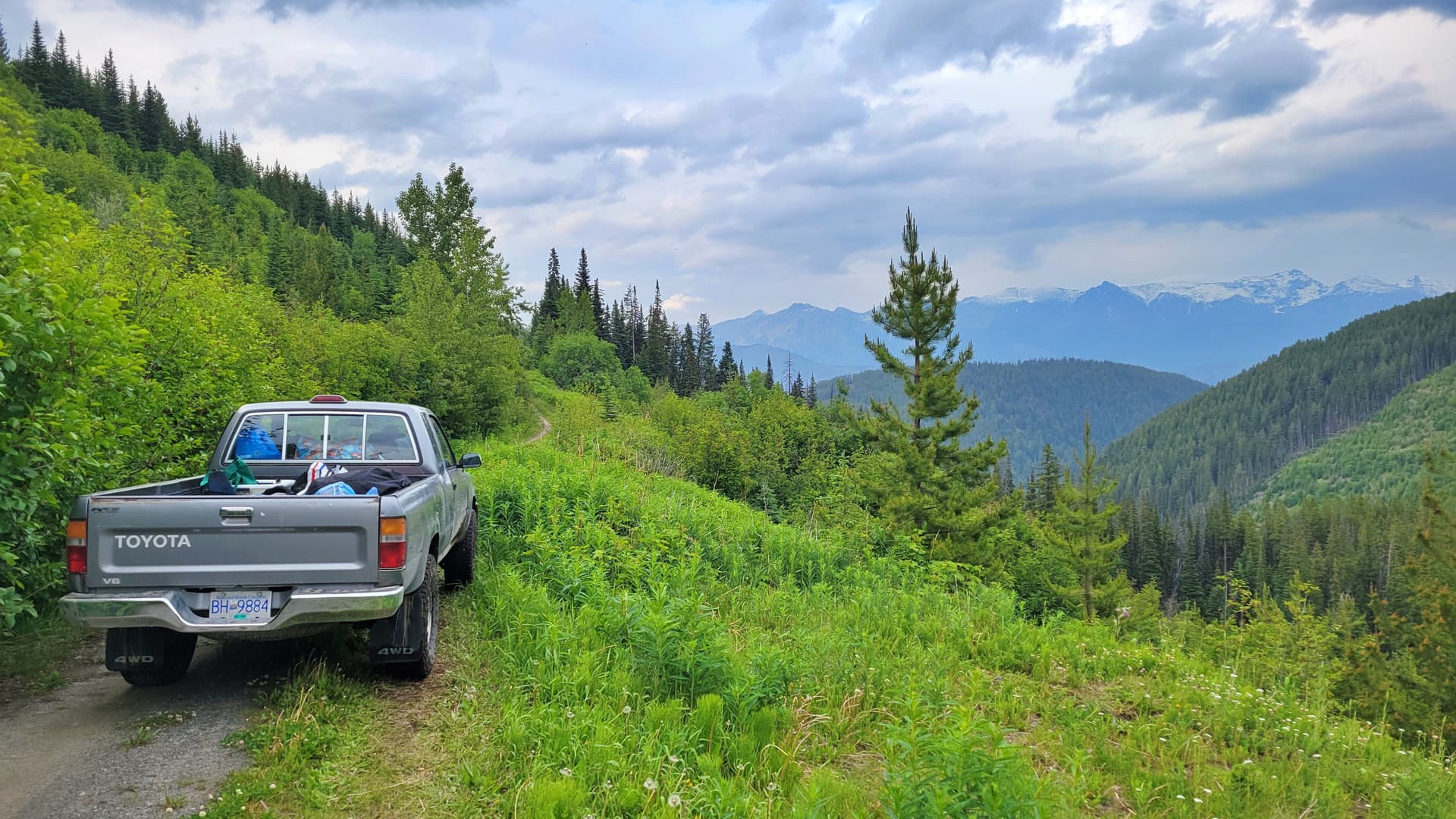
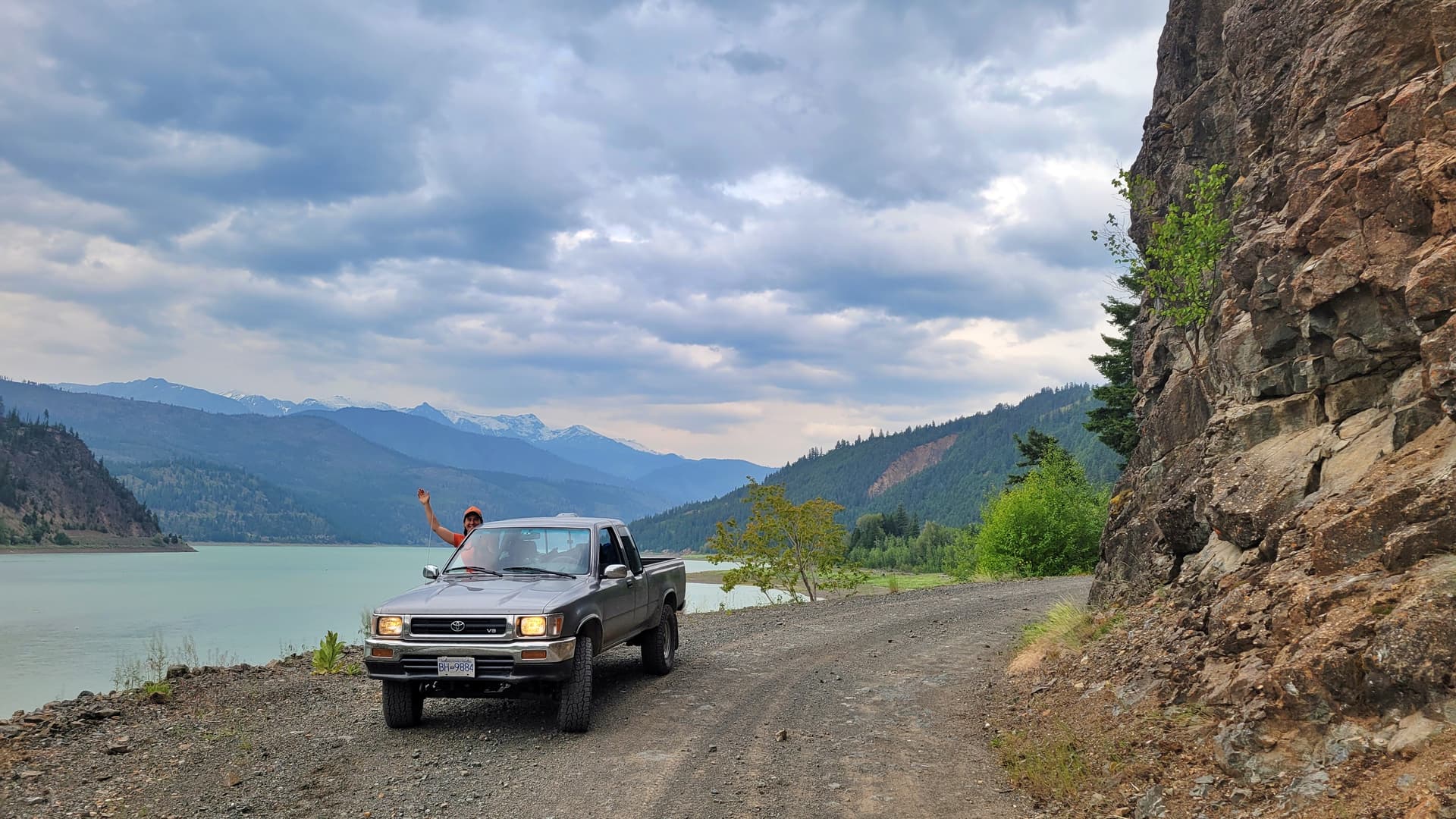
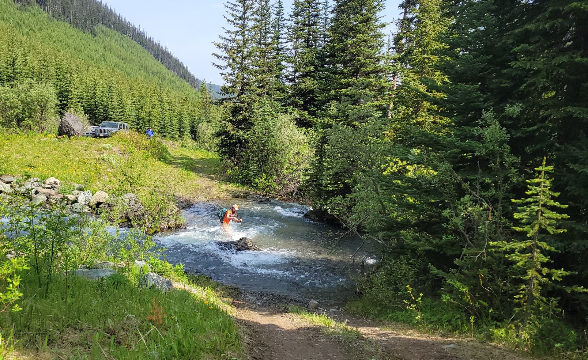
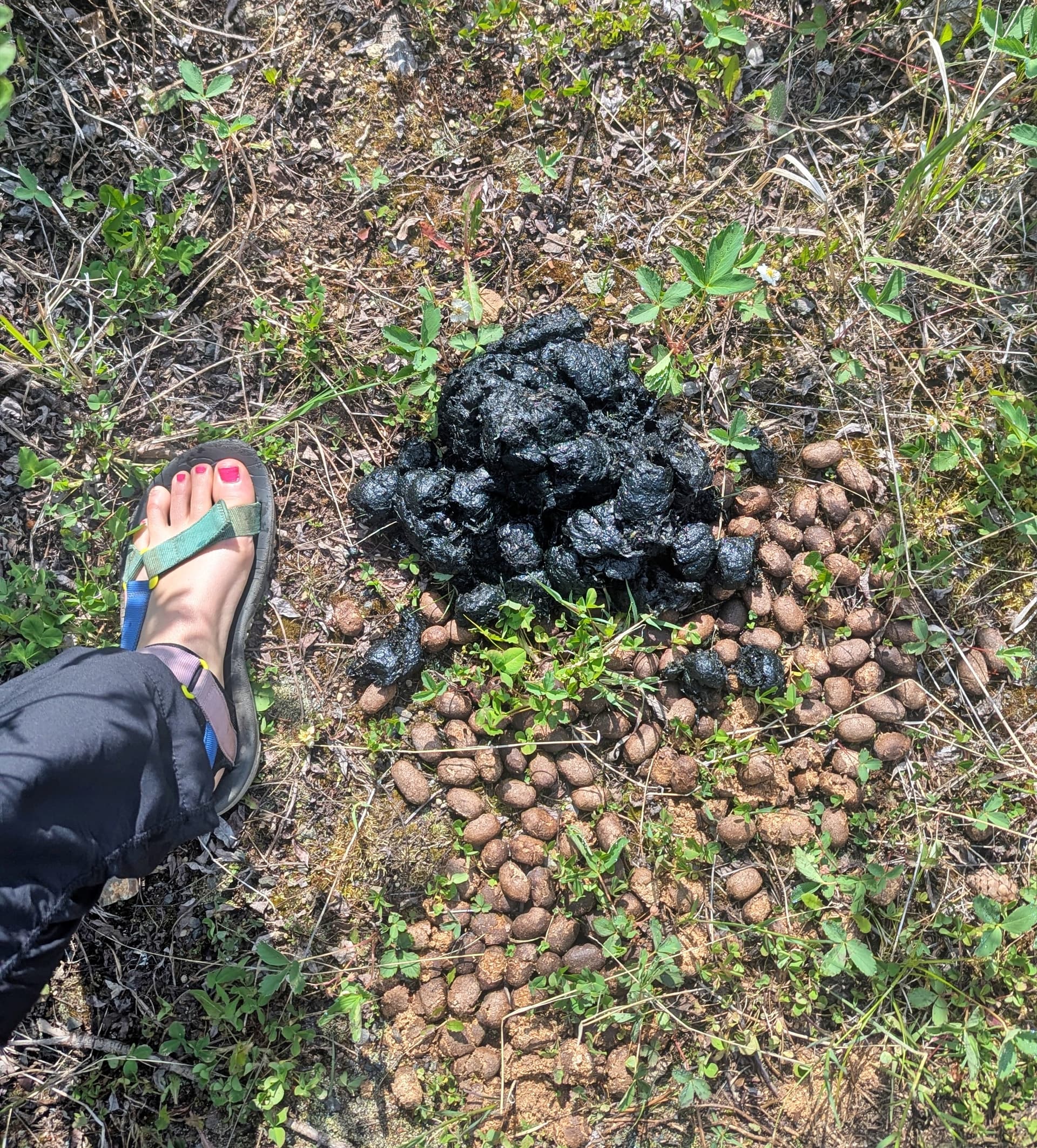
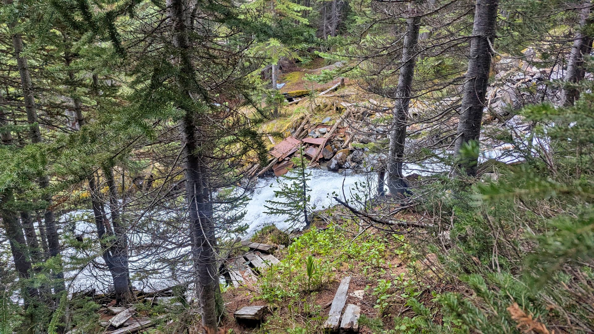
There was a recent post on the four wheel drive page about the roads for Truax being in good shape aside from a tight looking creek crossing in their lifted jeeps. It turns out the guy had no clue where he was and in the end we were on a completely different road system than he said he was on. We came to our first creek crossing which we drove thru, it was straight forward just a steep wall to get down. The next creek crossing was over Truax Creek. The crossing was waist deep so it was hard to see where the big rocks were underneath creating rapids. If the flow was lower I would have gone for it but between my stock 1994 Toyota Pickup and Chris’ new stock Jeep Rubicon we decided to just park and walk the 4 or 5km to the end of the road. Up until the creek crossing the road had some super gnarly waterbars, long box trucks might not like them. A bike would be handy after the creek crossing but bring bear bangers and bear spray, there was tons of massive bear shits all along the road and we saw a huge brown coulored bear about 80ft away before it ran off the road into the cutblock. Was it a brown bear or was it a grizzly. Luckily we will never know, but it was probably a grizz.
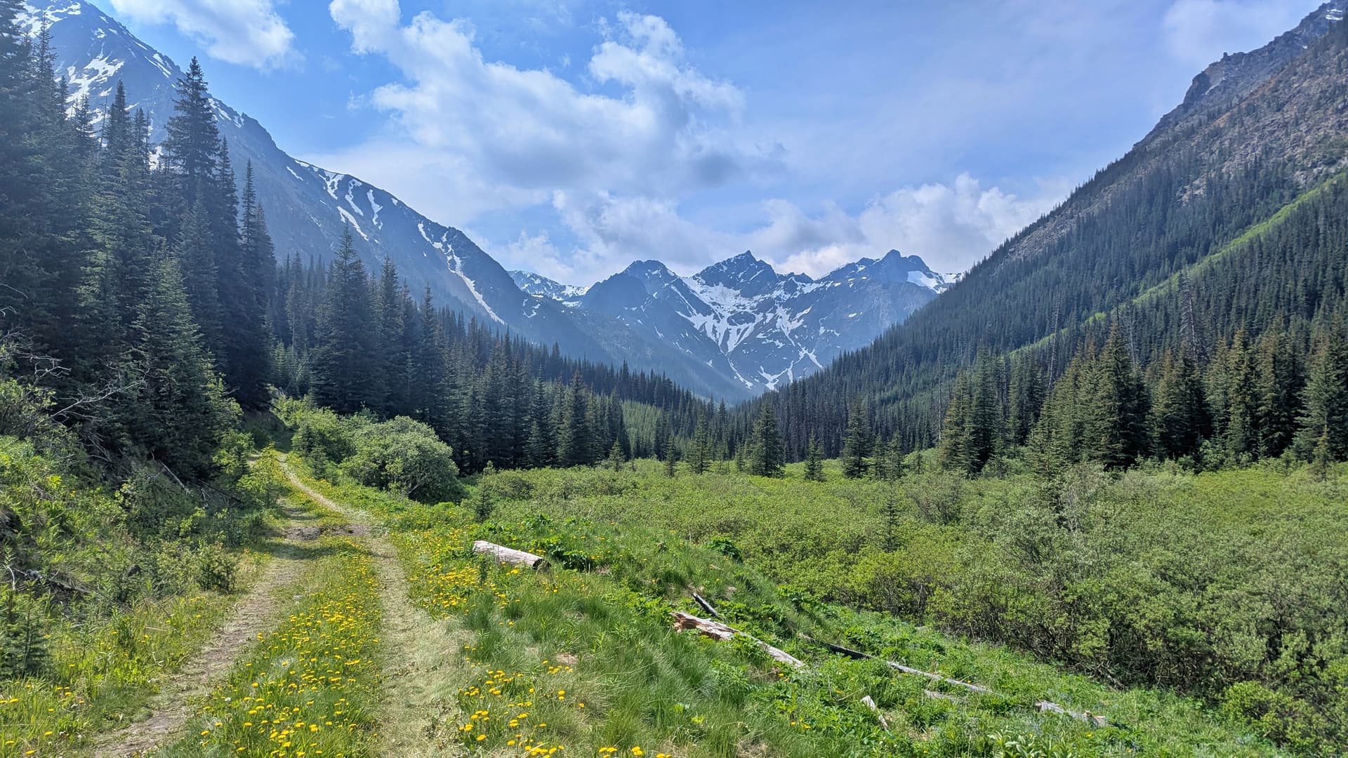
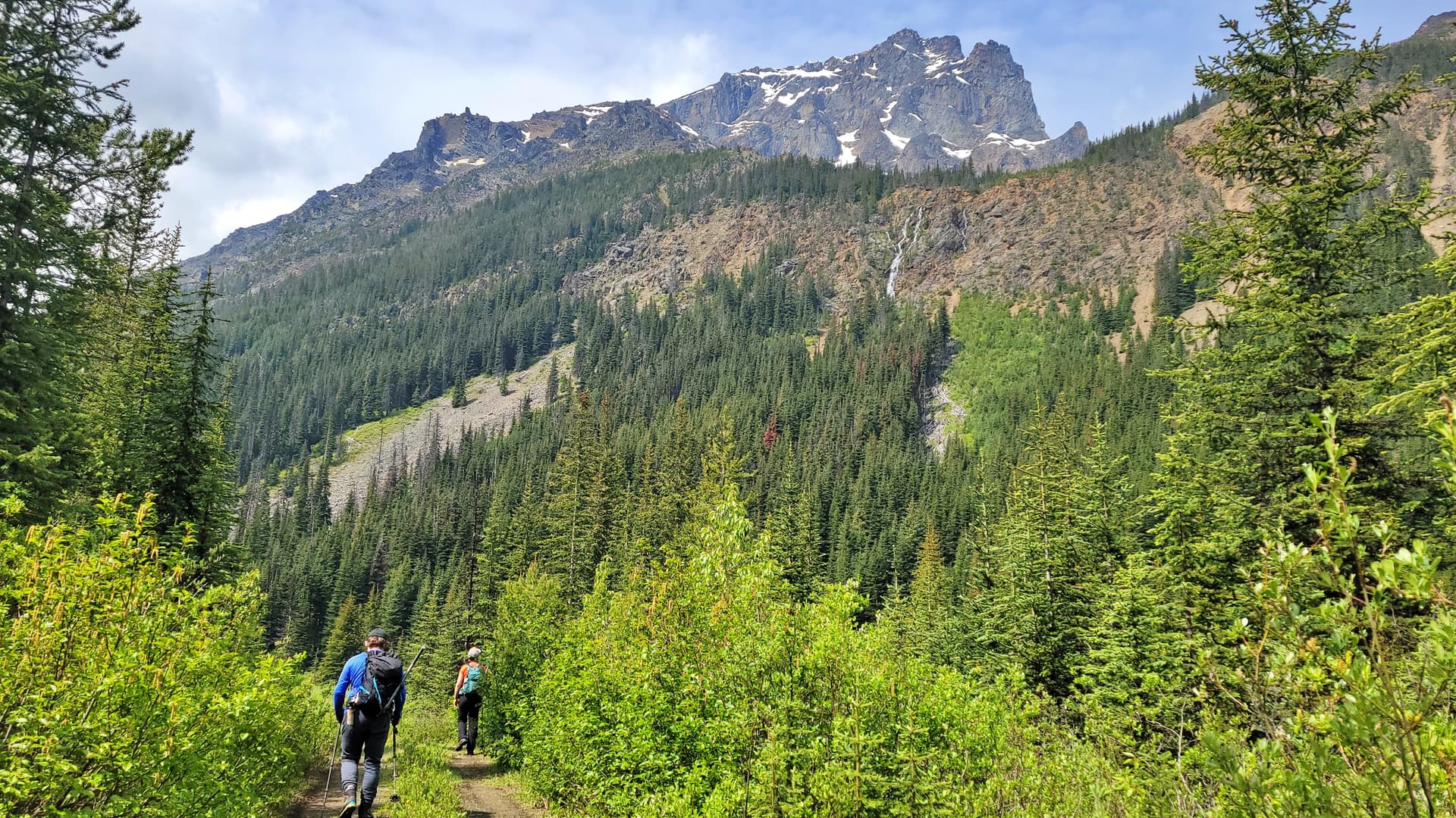
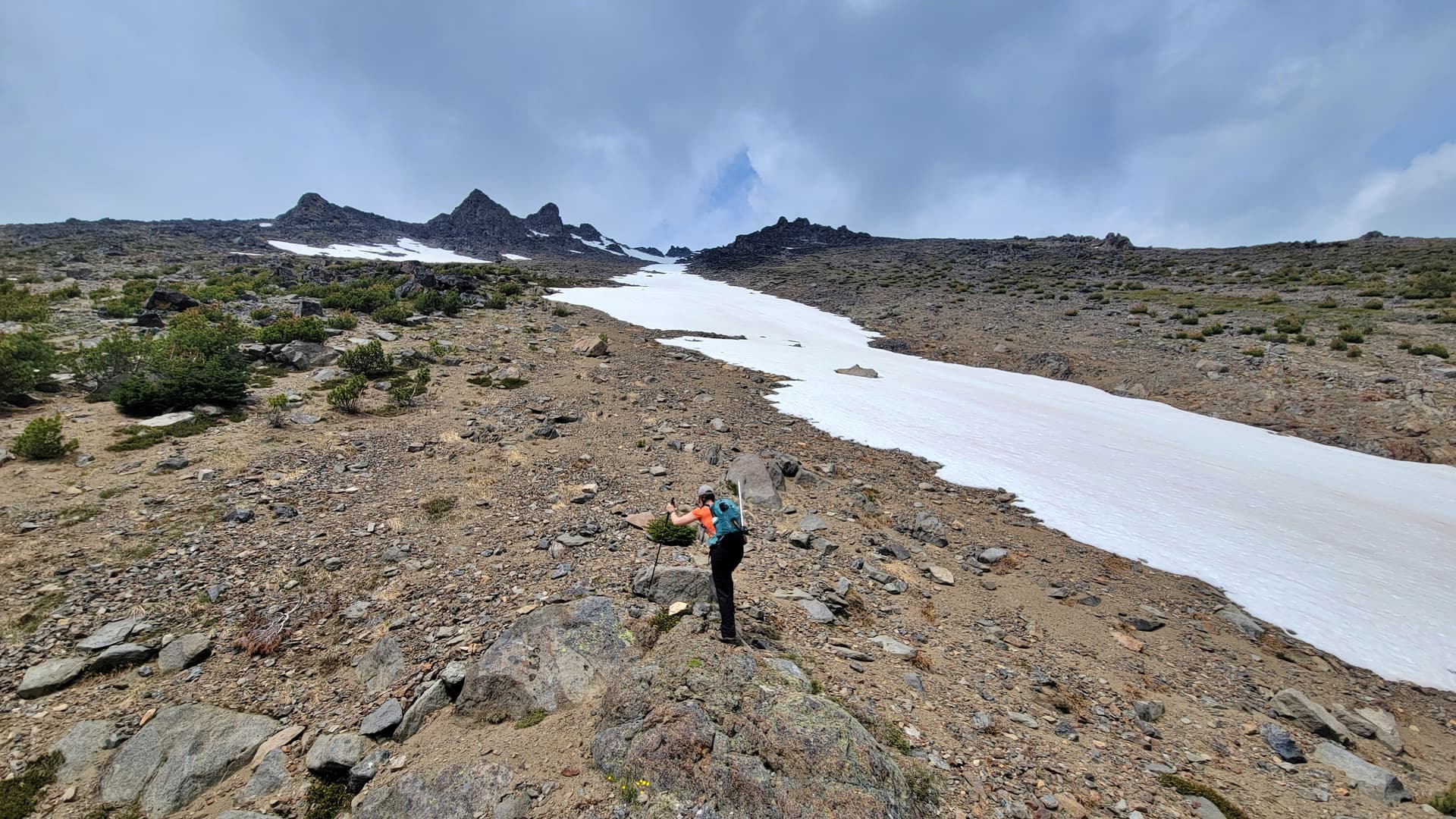
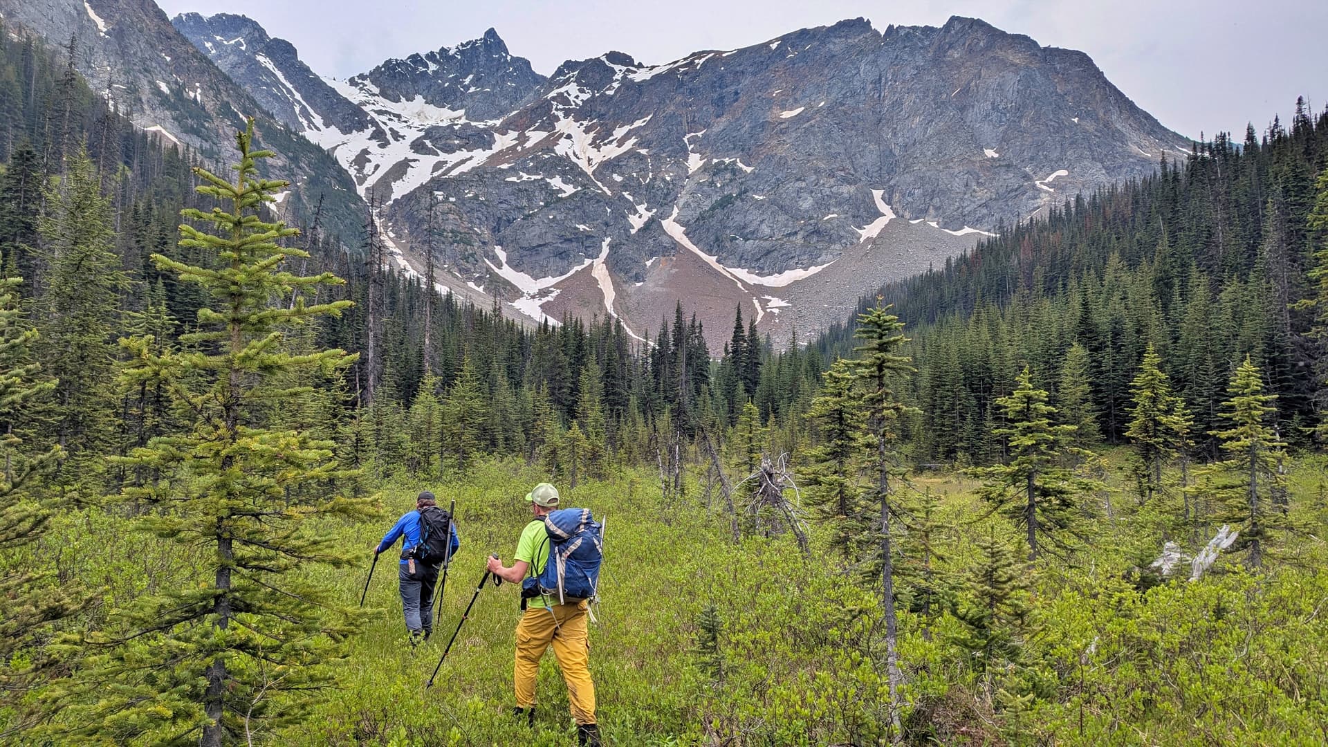
From the end of the our plan of attack was the usual method, which is just go the most direct line to the summit. Abit of bushwacking, abit of swamping around , abit of creek crossings, abit of old mining roads and soon enough we were now in the alpine taking our first break.
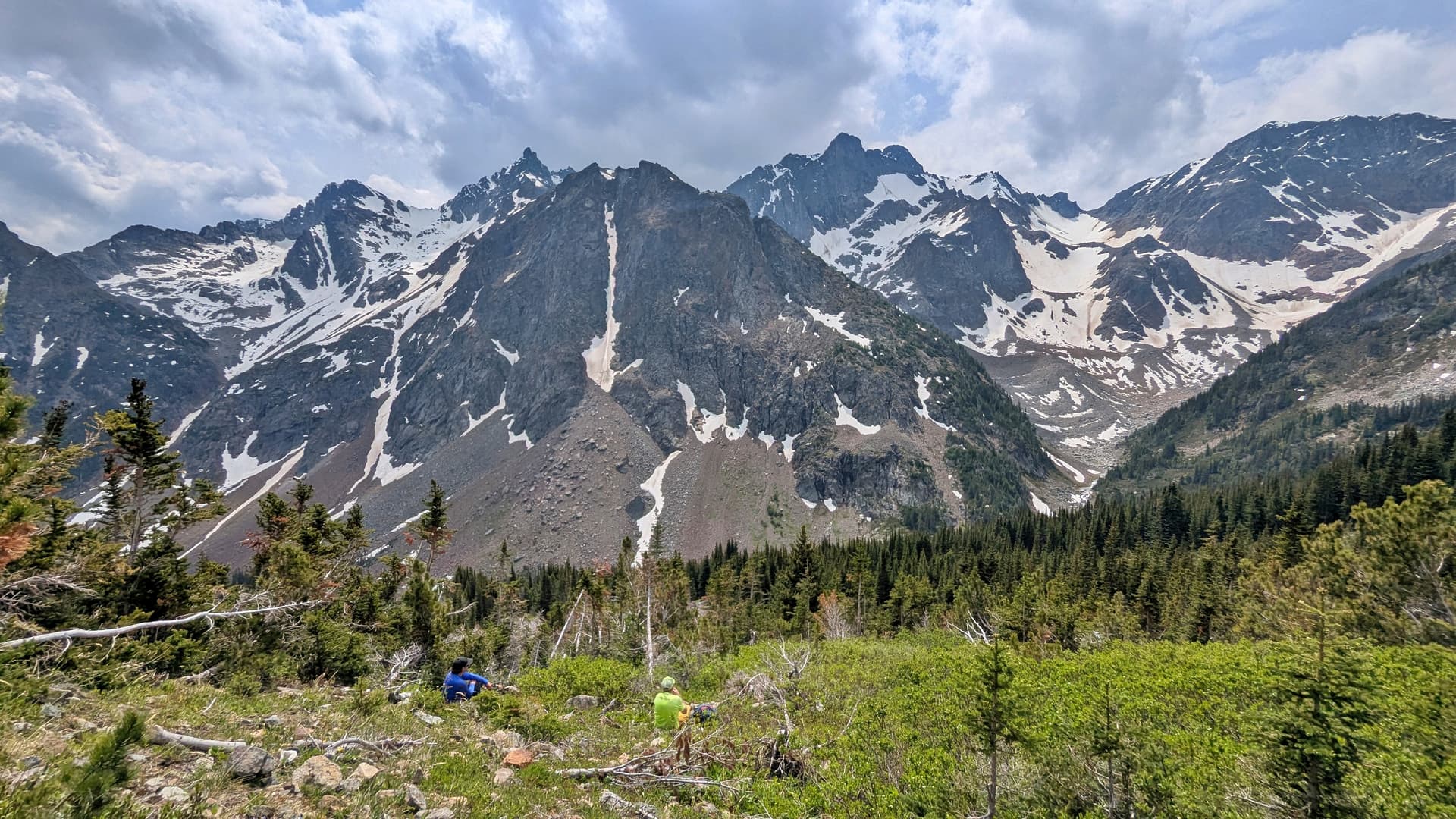
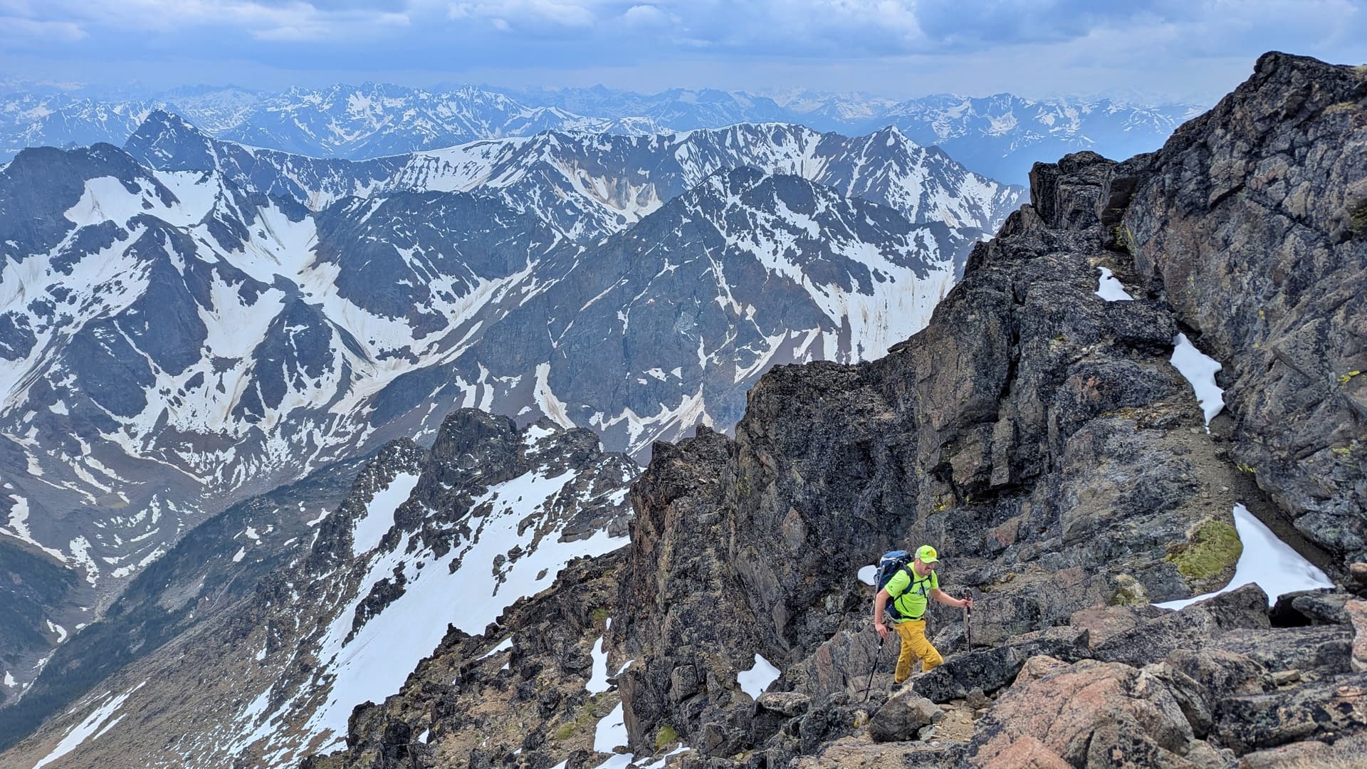
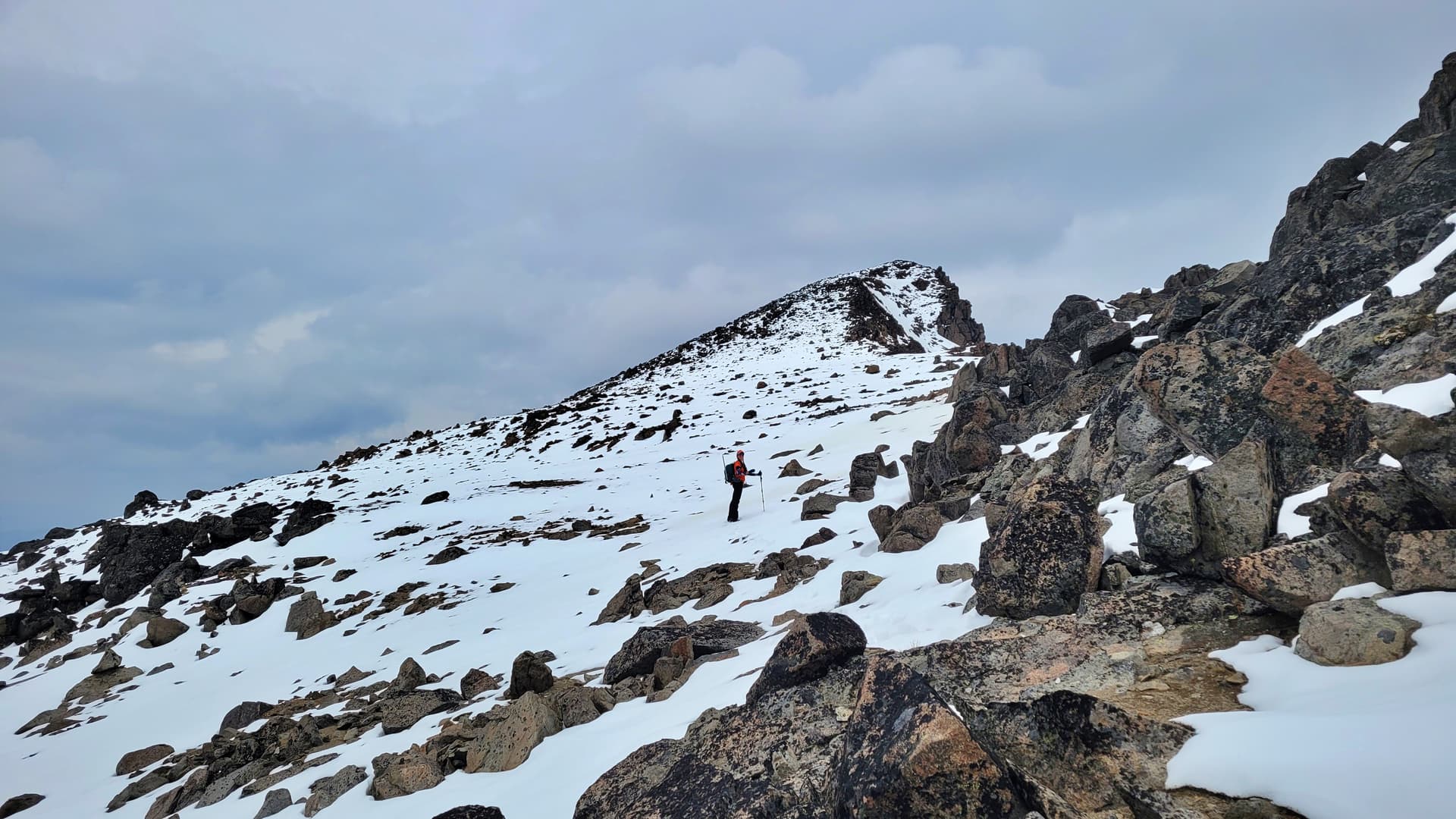
There really isn’t too much to report on this mountain. It’s just one hell of a grind to the top. The grade is sustained the whole way up once you leave the valley floor and the lower portion is quite nice until you get higher up and hit the talus slopes.
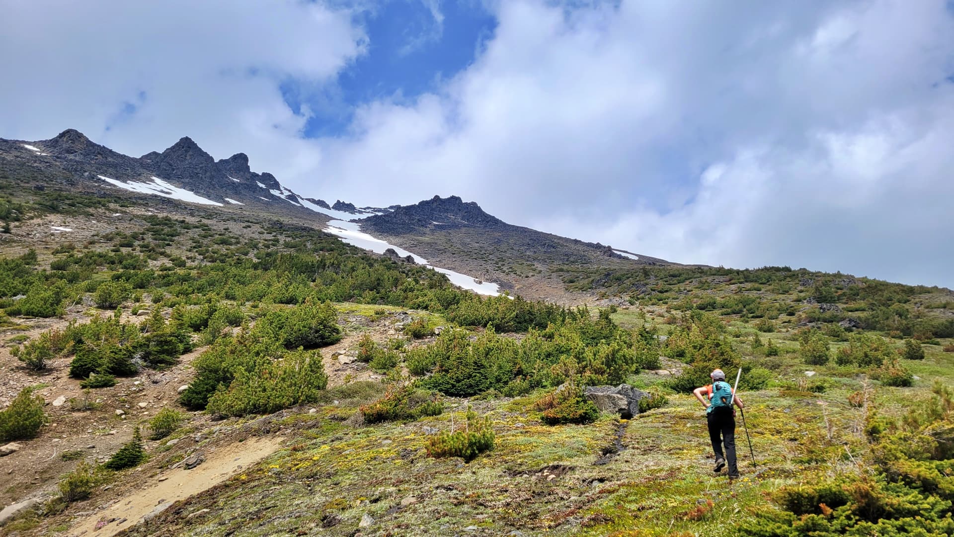
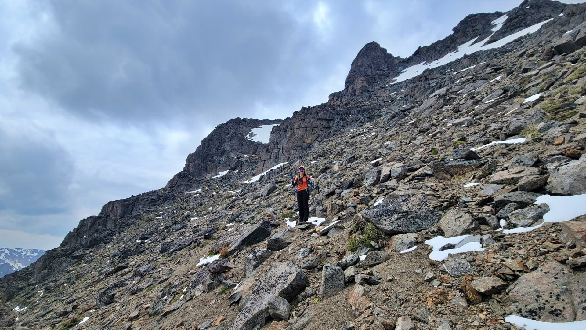
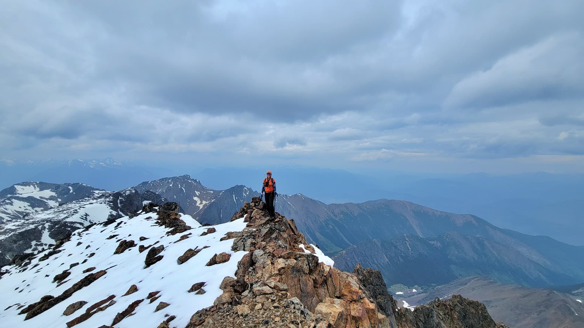
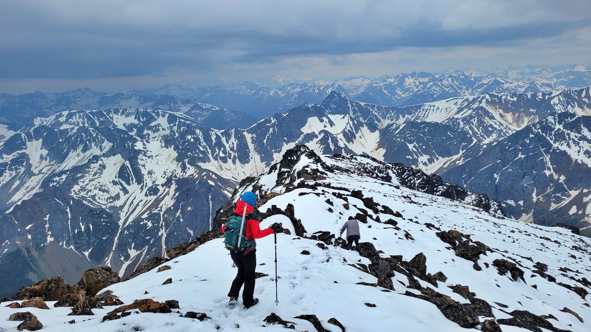
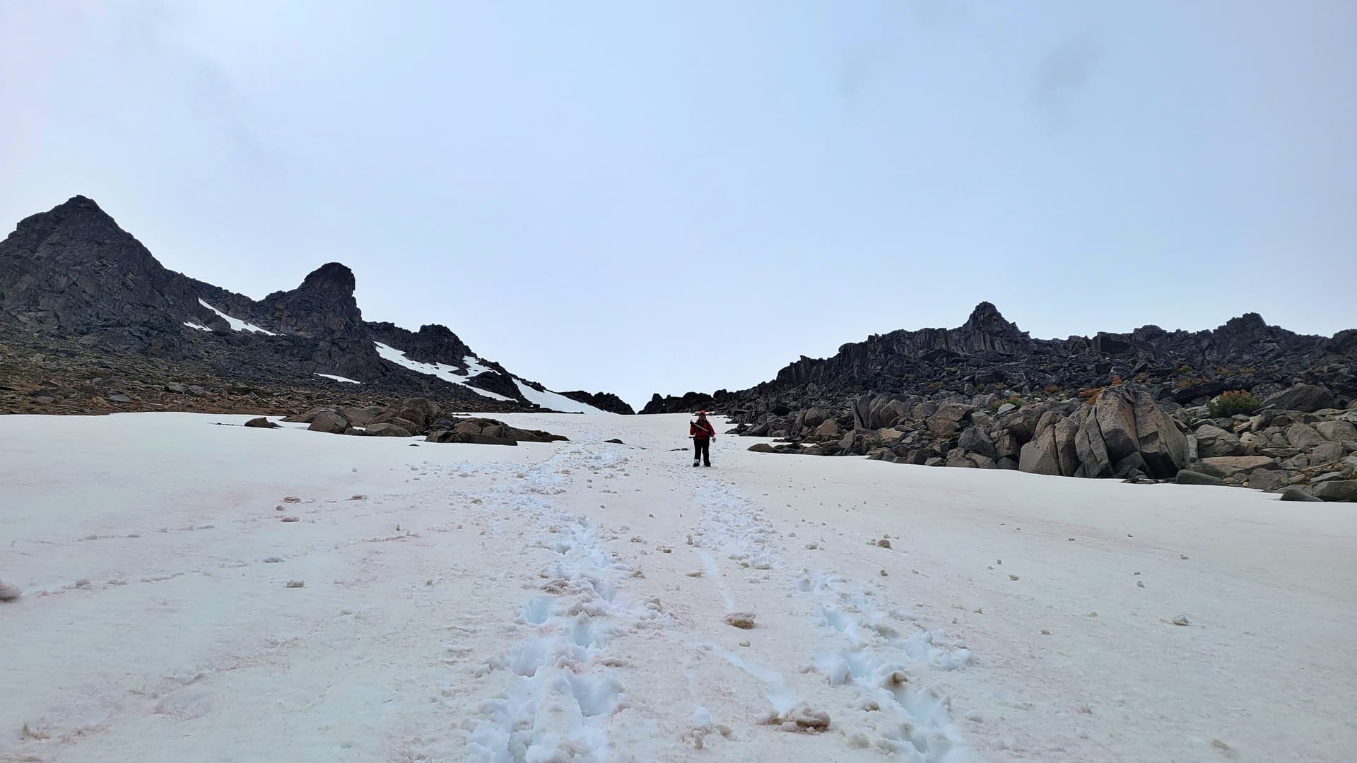
After dealing with the talus slops we now reach the plateau of the summit ridge and have some fresh snow to slip n slide around on with the now wet black lichen. Luckily it was a short distance and the fresh snow wasn’t deep. Without this previous storm it would have been a snow free ascent.
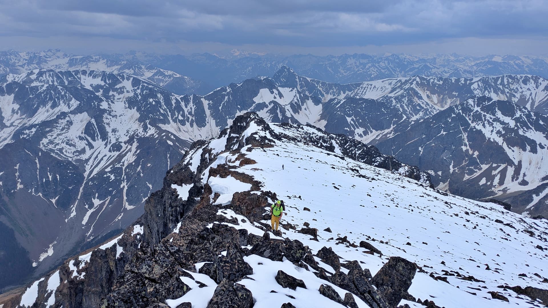
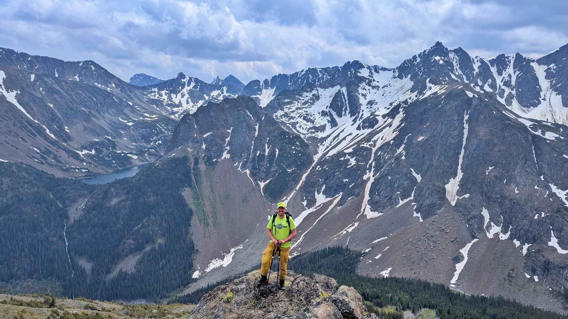
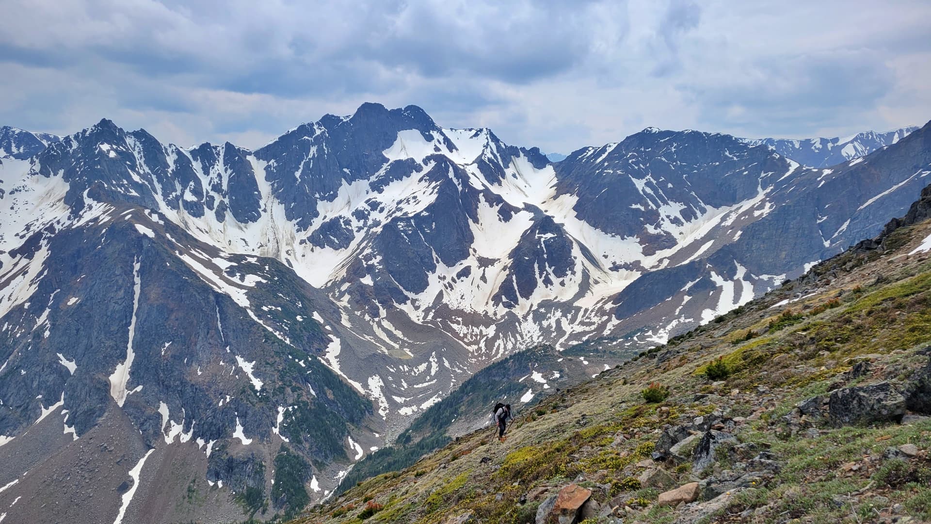
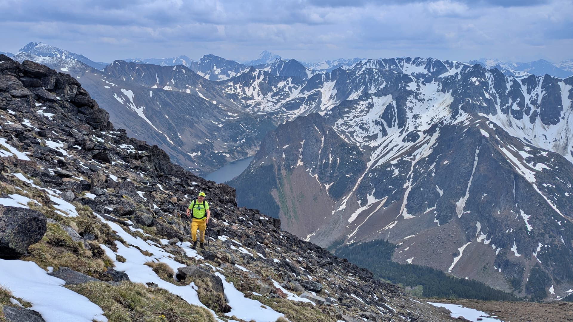
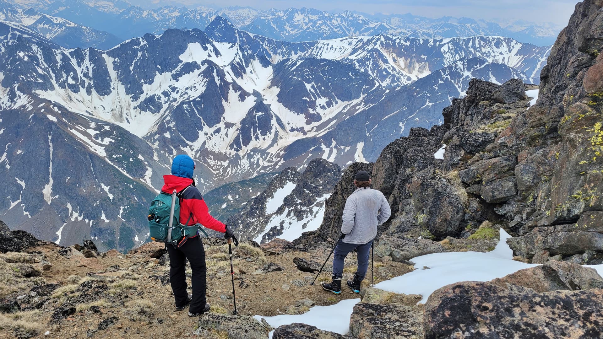
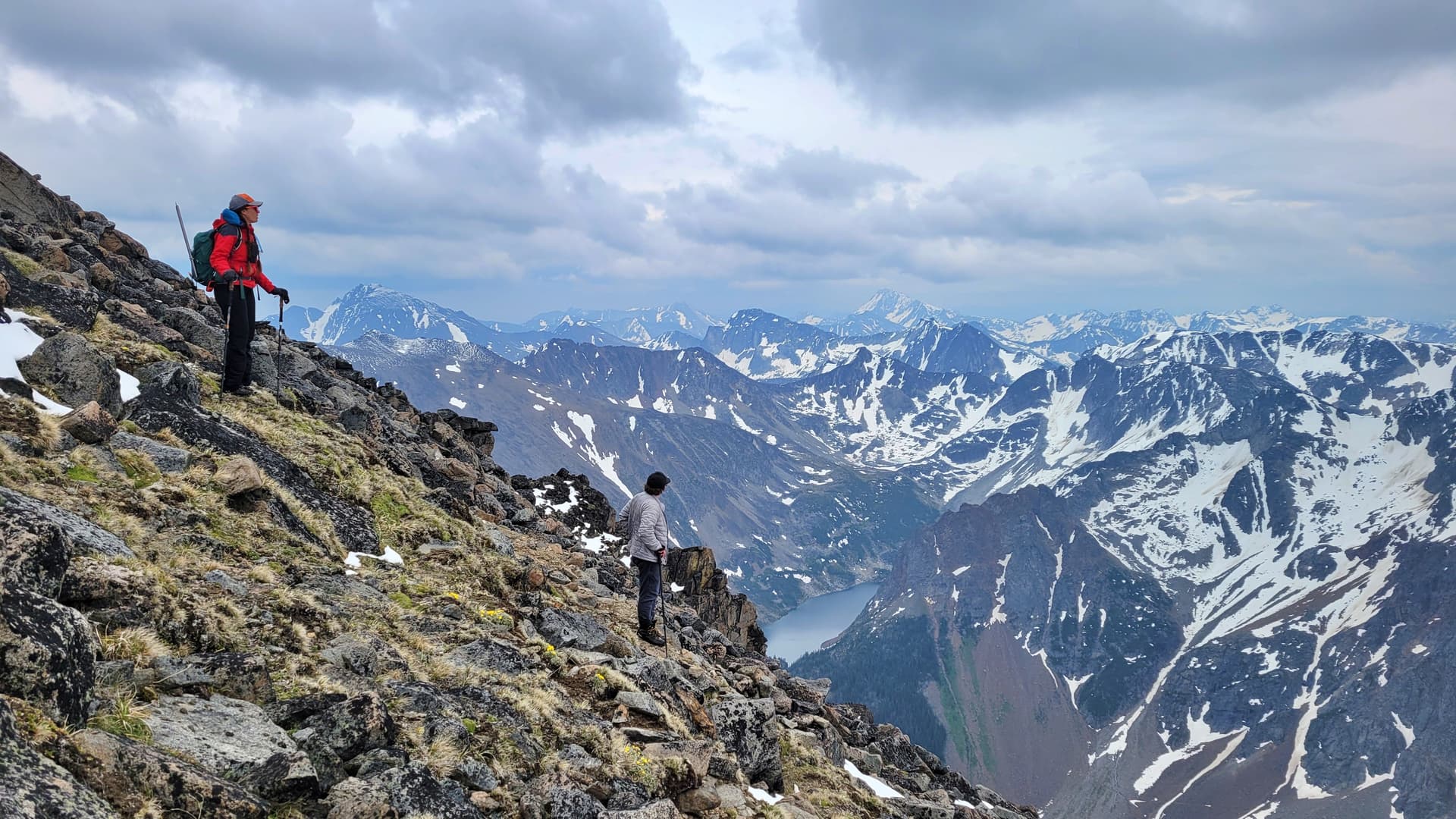
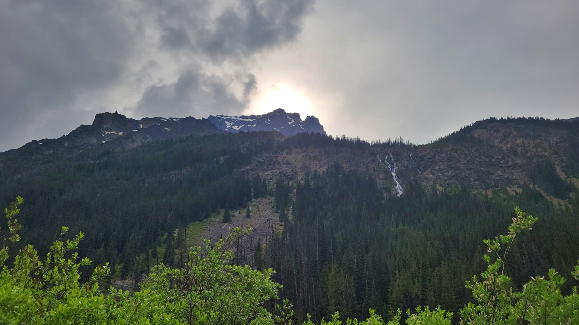
The weather has been hit and miss lately for people on alot of trips and what was supposed to be a pretty good clear-ish day in this area was now a dark and stormy day. The wind was quite strong and cold. Katie hates the cold, I’m not a fan of the cold and was expecting a nice sunny summit to relax on kinda day, and Chis had ditched his pack somewhere back in the talus slopes. We got some pretty good views, but the bitter wind was enough to say okay let’s get some photos and let’s get outta here.
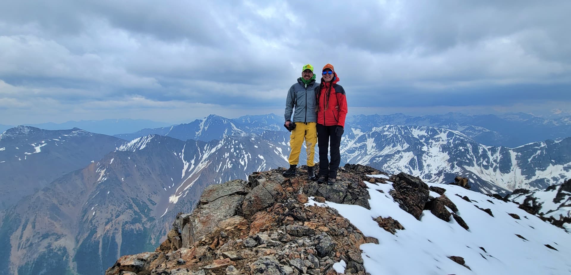
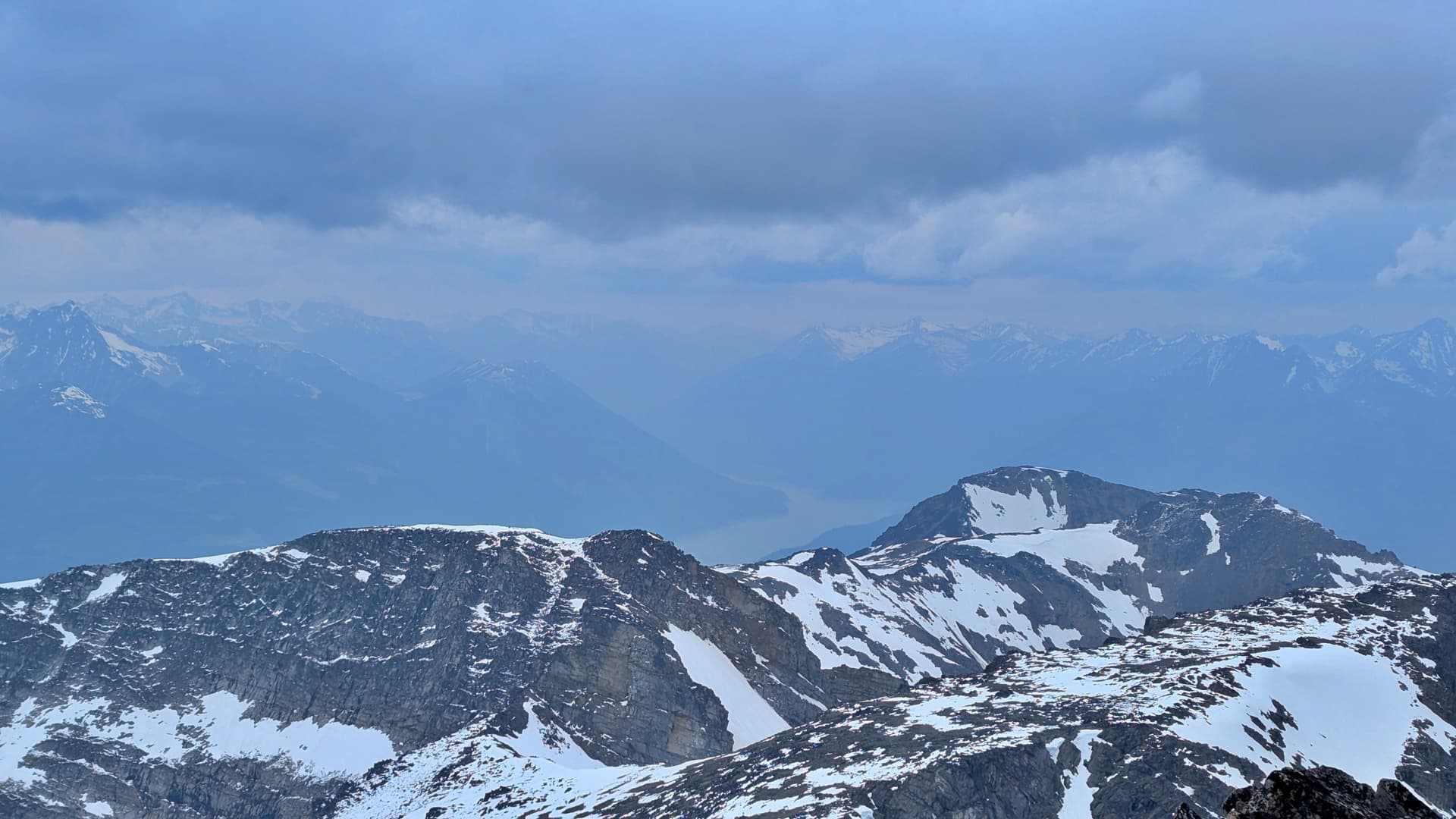
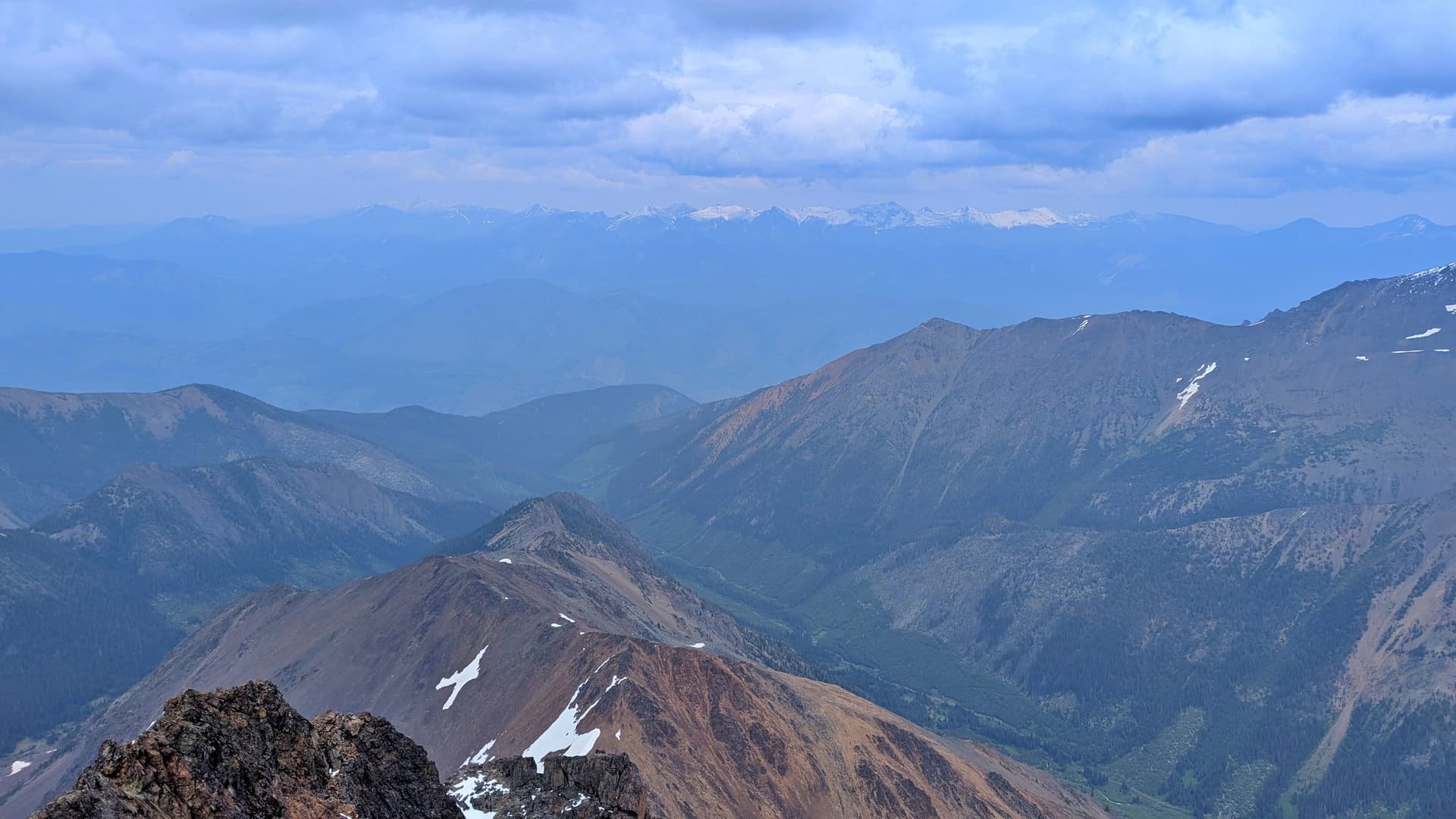
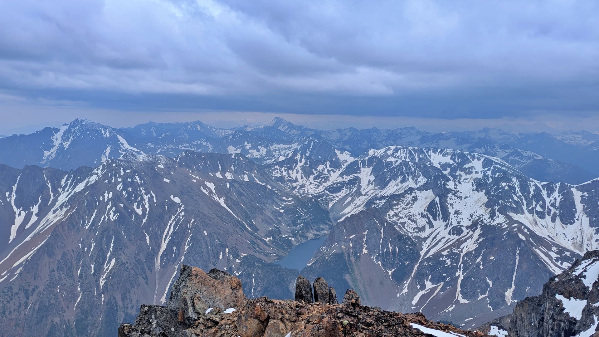
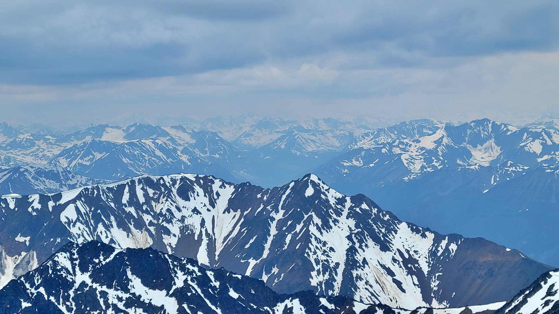
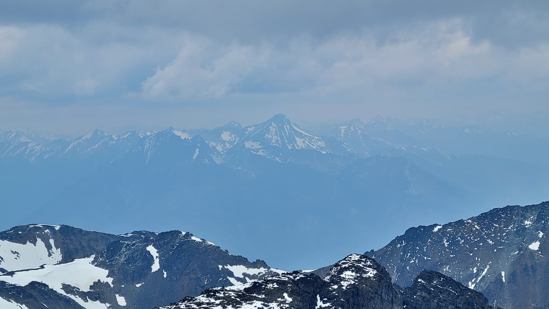
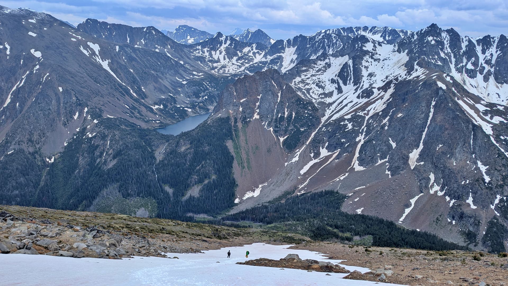
Various summit shots looking at Downton Lake, Shulaps, Whitecap, Sampson, and Sloan
We just wanted to get down and go find the leeward side of the plateau again where we could de-layer and take a better food break.
On the ascent we stayed off this long running finger of snow leftover from all the avalanche slides, but on the way down it was a blessing. We were able to heel plunge all the way down to the bottom of it in no time.
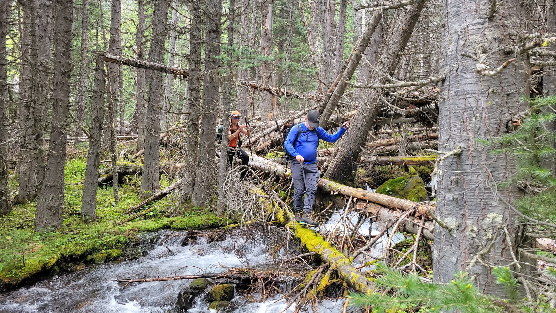
We decided to take a different route back, it’s a route that has been done before down an avalanche swath. It was crazy to see how every thick tree had been fully snapped at the same height. It was a direct route down but not the nicest. We had to find a different way to cross the creek and luckily Chris found us a beaver dam to get across and then it lead us straight into a marsh. Chris found the proper side of the marsh to get to the road at so me and Katie followed him and after all that we just had a 4 or 5km walk back to the truck. Luckily we didn’t see any more bears, just alot of mosquitoes.
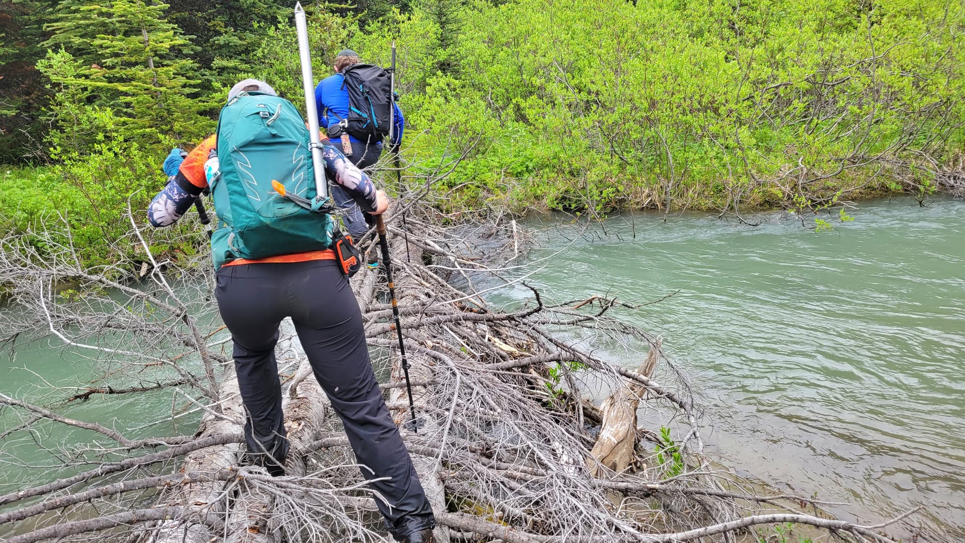
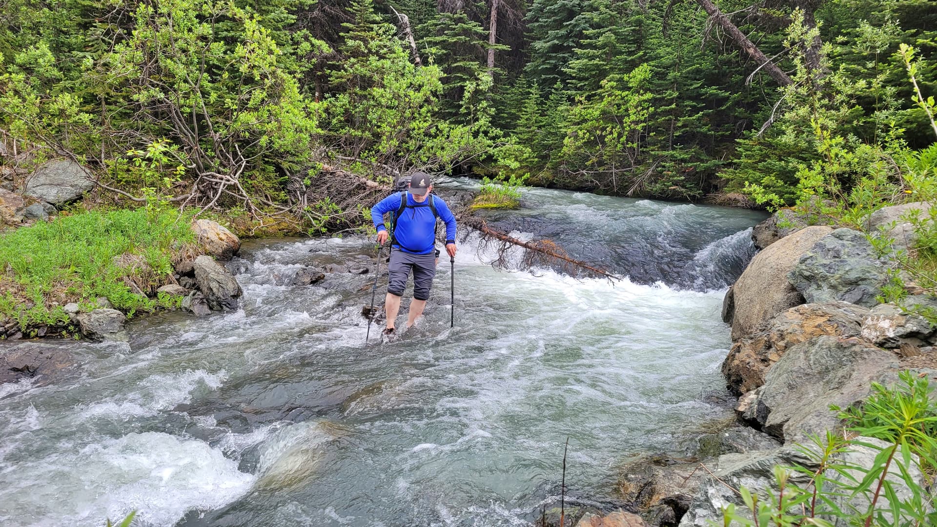
I just walked through the creek in my shoes and pants, Chris put his water shoes on and boulder hopped on the undercover rocks, while Katie crossed where she crossed in the morning. All in all it was a successful trip. It was a long day driving from North Delta and then doing it, mixed in with the high elevation I was feeling like a slug and sucking wind. Katie was in fine form and lead the way for the whole ascent and Chris like the experienced veteran he is was the classic slow and steady pace that keeps you trucking along and gets the job done.
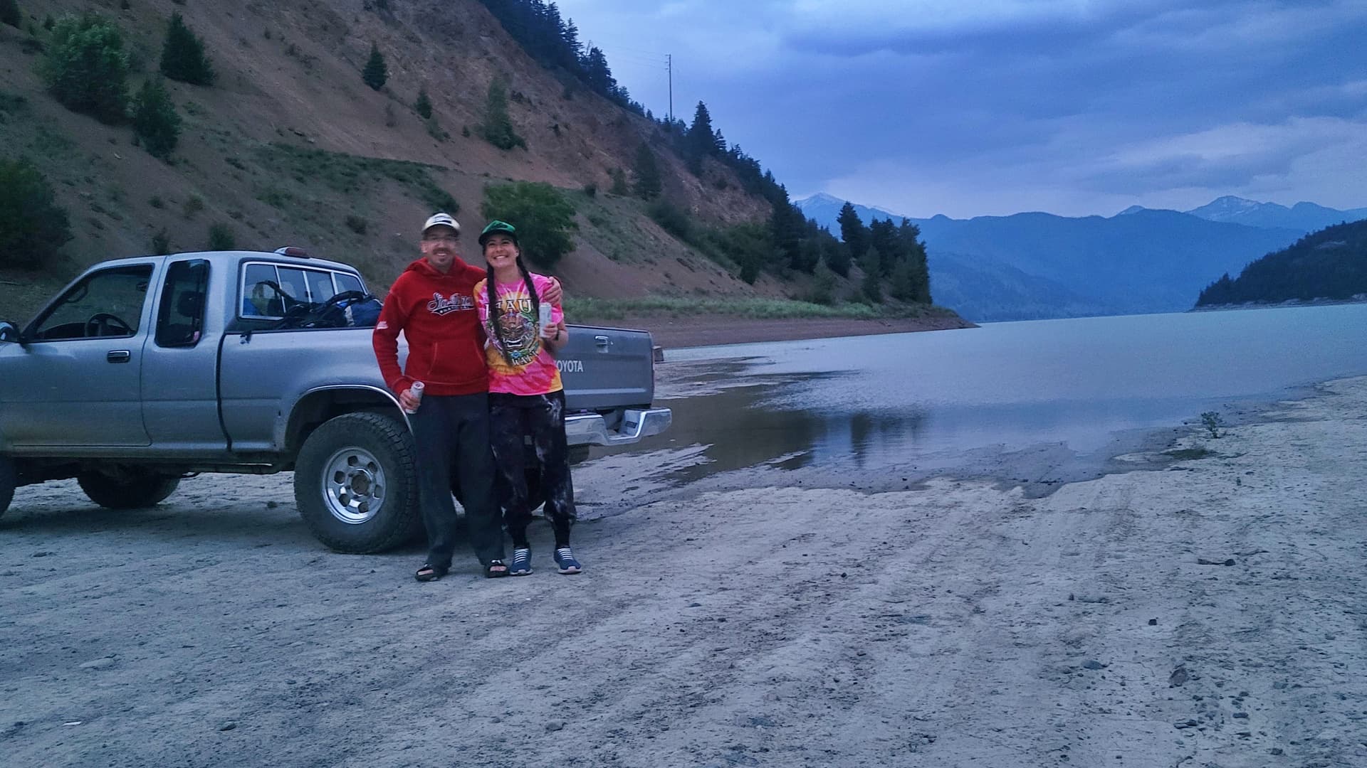
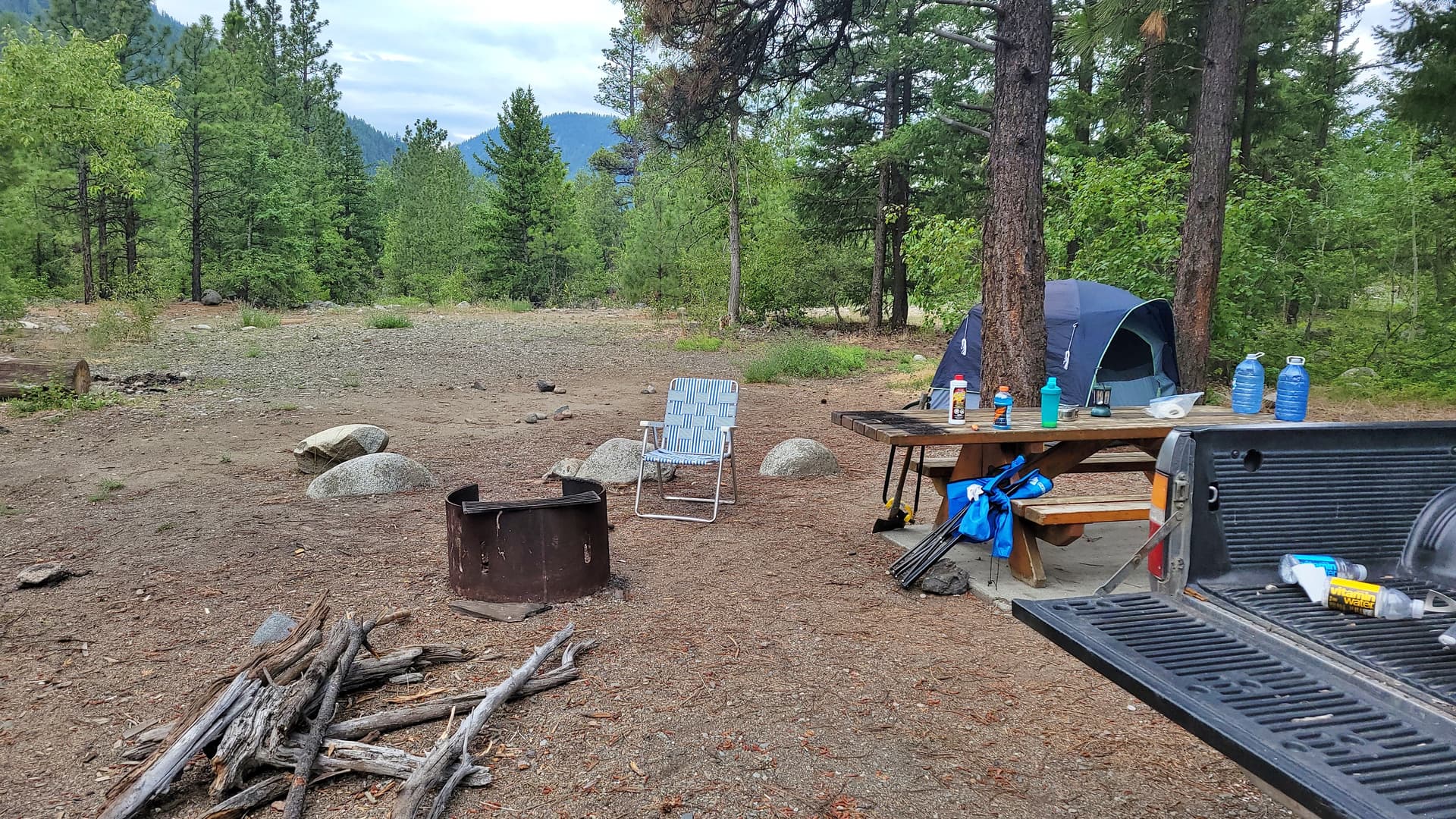
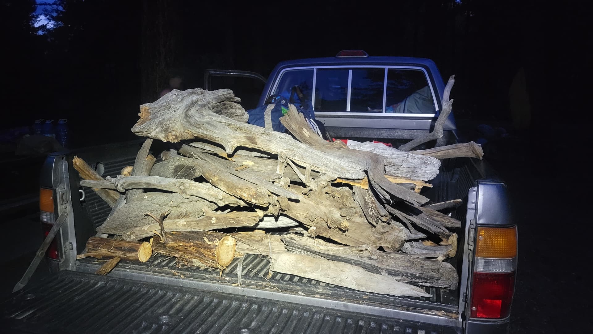
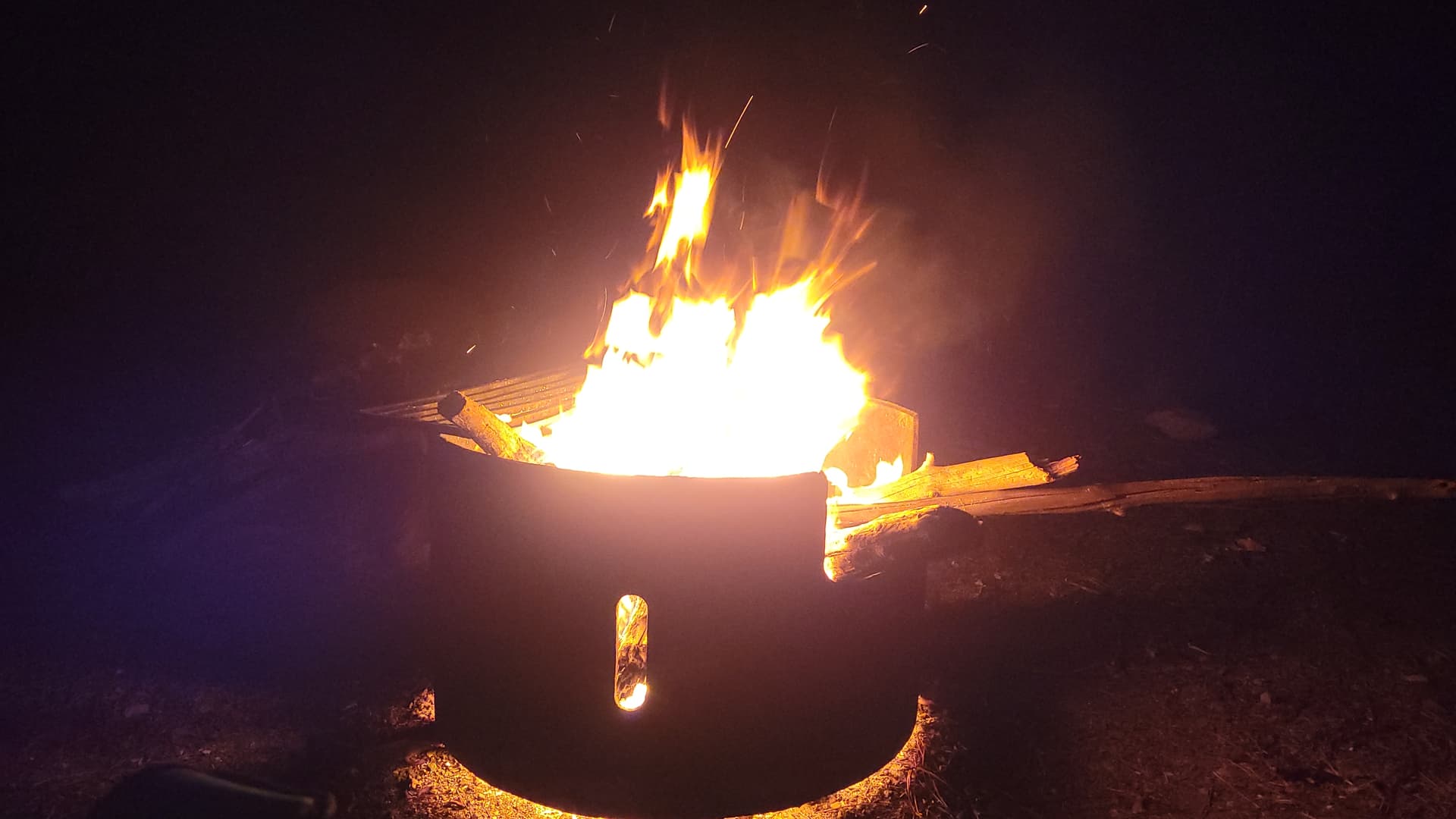
He wanted to make the gas station in Lillooet so we couldn’t sit around to have a drink together so we said our goodbyes as he drove back home while me and Katie would go stay at the Gunn Creek rec site to have a bath in the freezing creek and then have a healthy fire and many bevies. Then head to Lillooet the next day to do Ample Peak.