A few years ago I saw a trip report about Carnival Peak in the Upper Squamish Valley, which looked interesting, so I made a note to explore it when conditions allowed.
This past week it came back on my radar, and after reviewing the snowline and road conditions on Francis Bailey’s backroad status website, it looked like Dipper Creek FSR was largely snow free, and the most recent report indicated it was in good condition. That was enough to give it a go.
Fortunately Ben was game to join, so I had company for the long drive. 3 hours after leaving home in Richmond we reached roads end, and indeed it was snow free and in excellent shape.
We immediately entered the forest, which had a solid snowpack that was bulletproof. We threw on snowshoes nonetheless, but likely could have spent most of the day in microspikes. Travel was a breeze in lovely open forest.
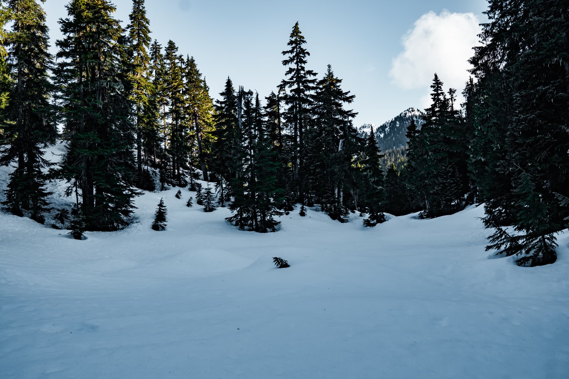
After an hour or so of undulating forest, we reached a beautiful viewpoint overlooking Little Ring, Ring and Mount Callaghan.
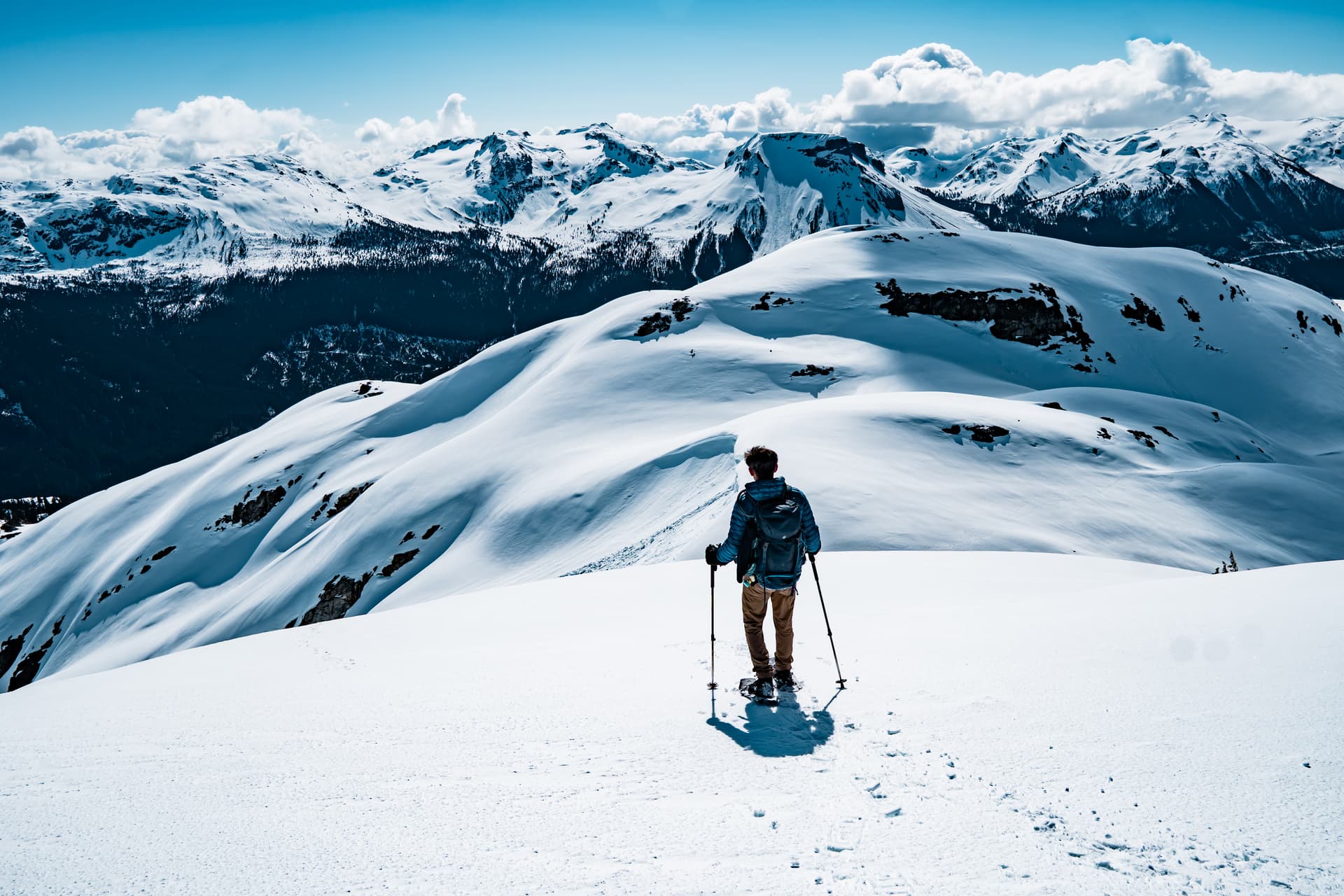
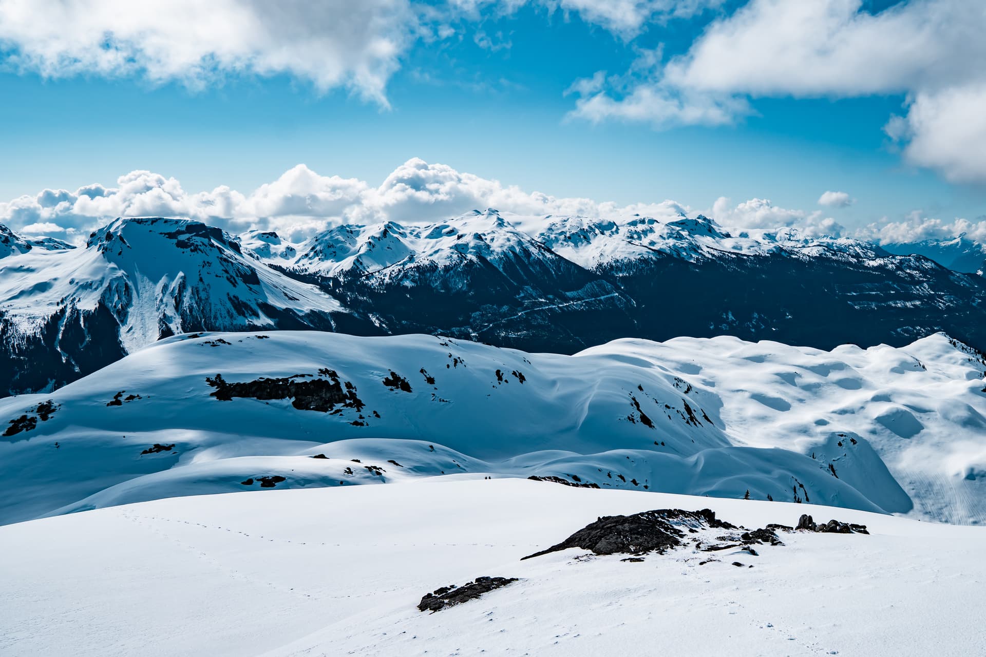
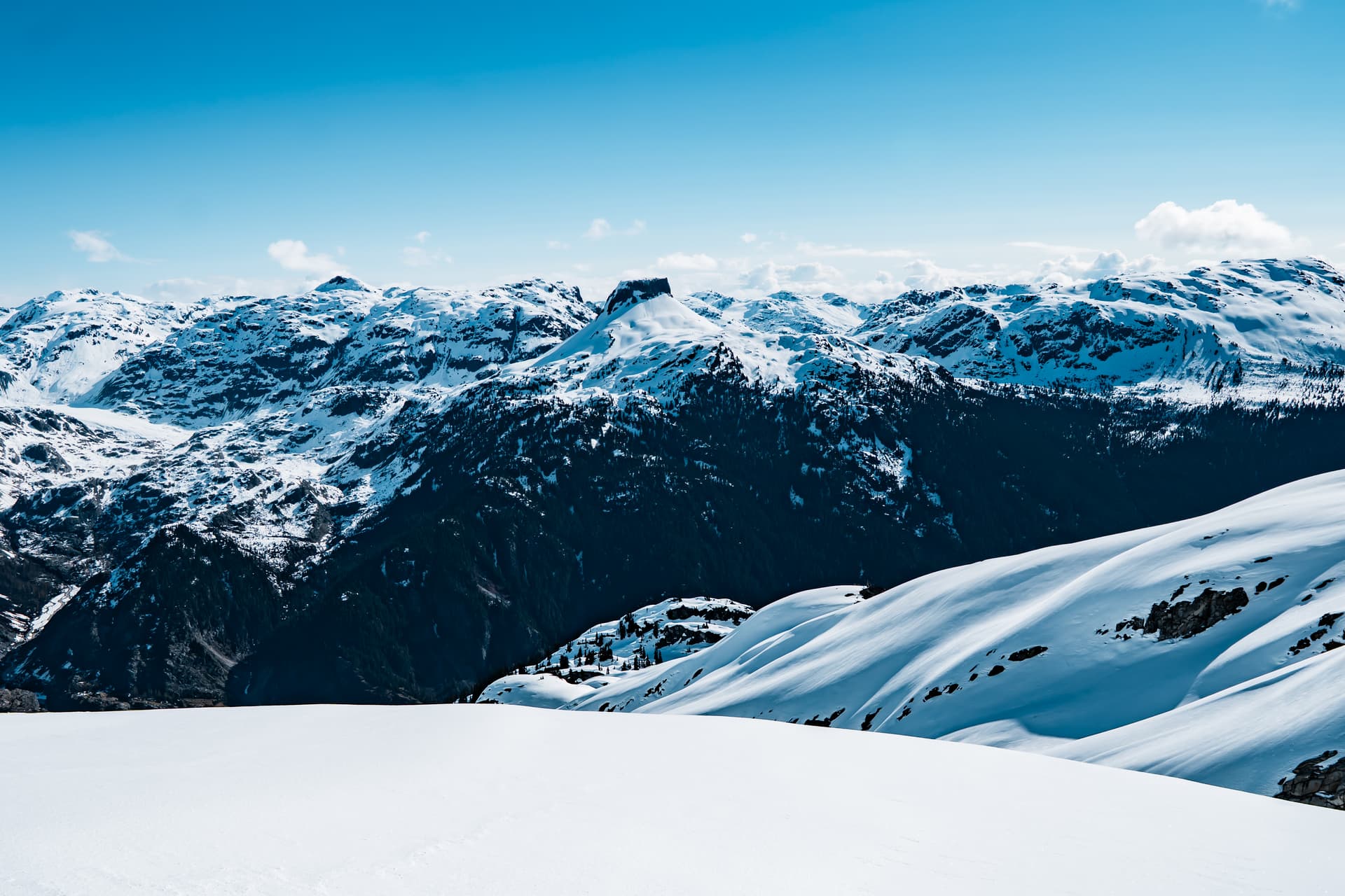
After a quick break we carried on, with one steep, isothermal roll that we managed to bypass on the descent. In short order we reached the alpine, and the views were magnificent from the ridge, with snow blanketing every roll and bump.
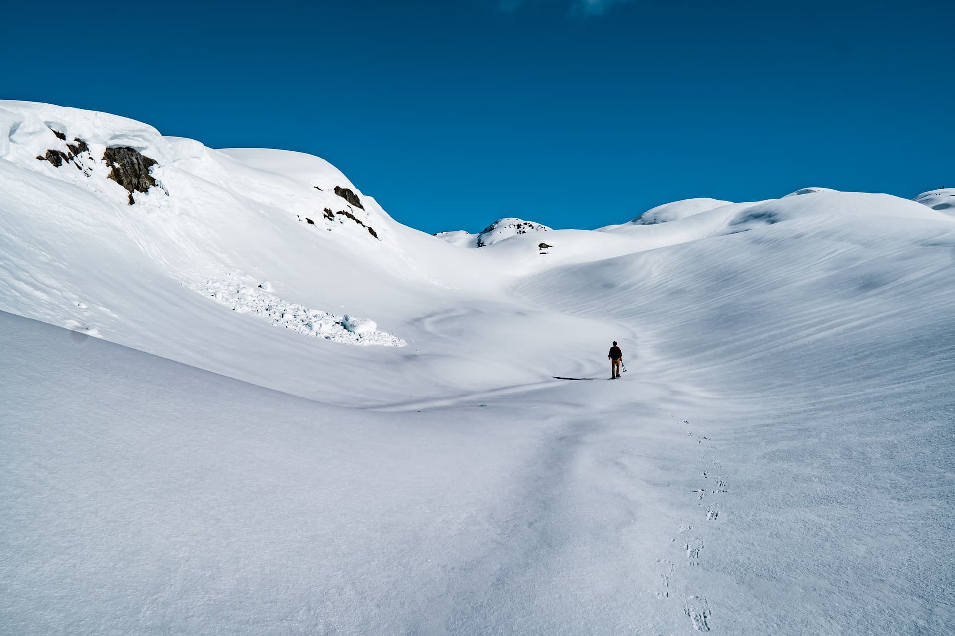
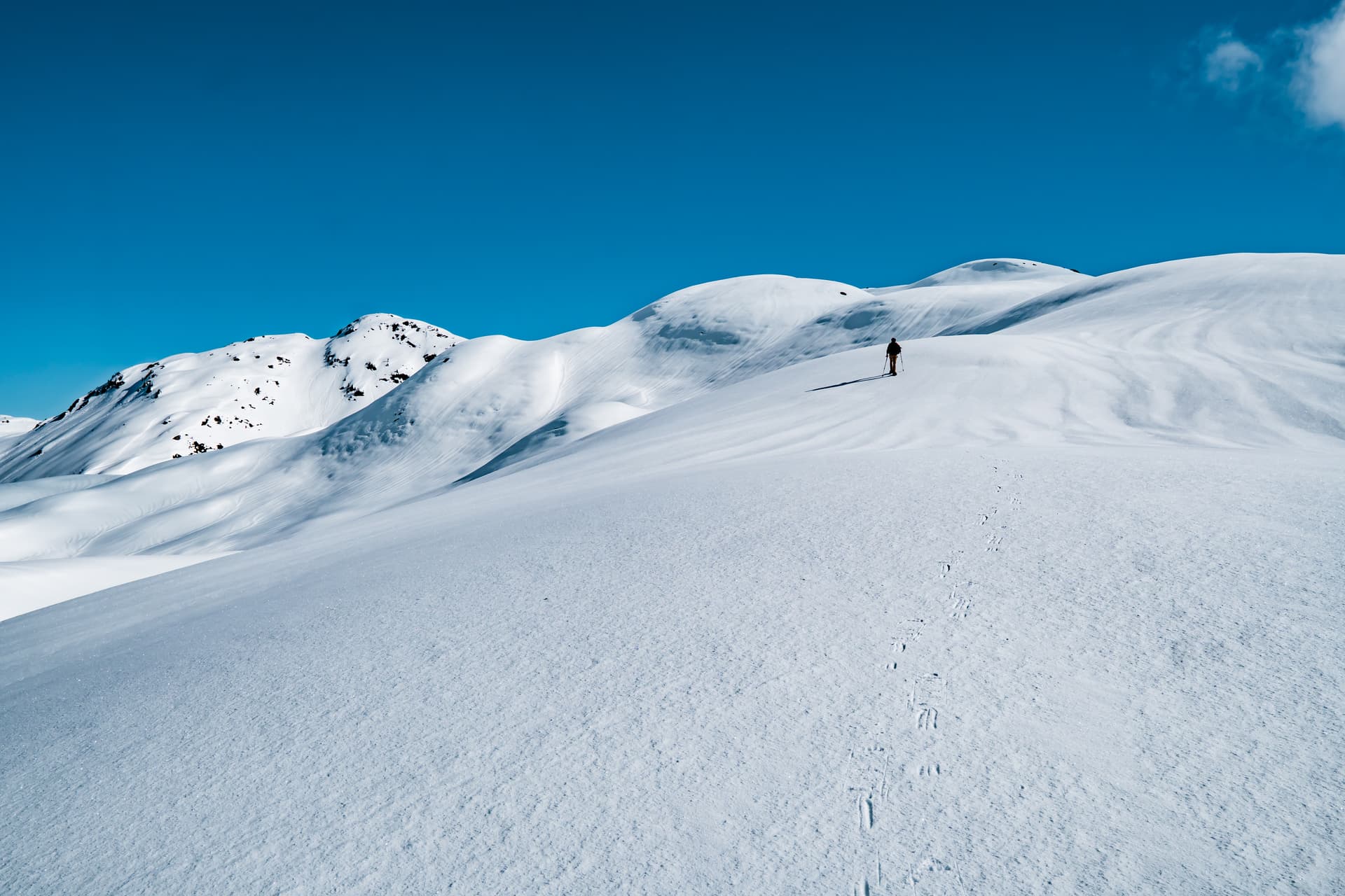
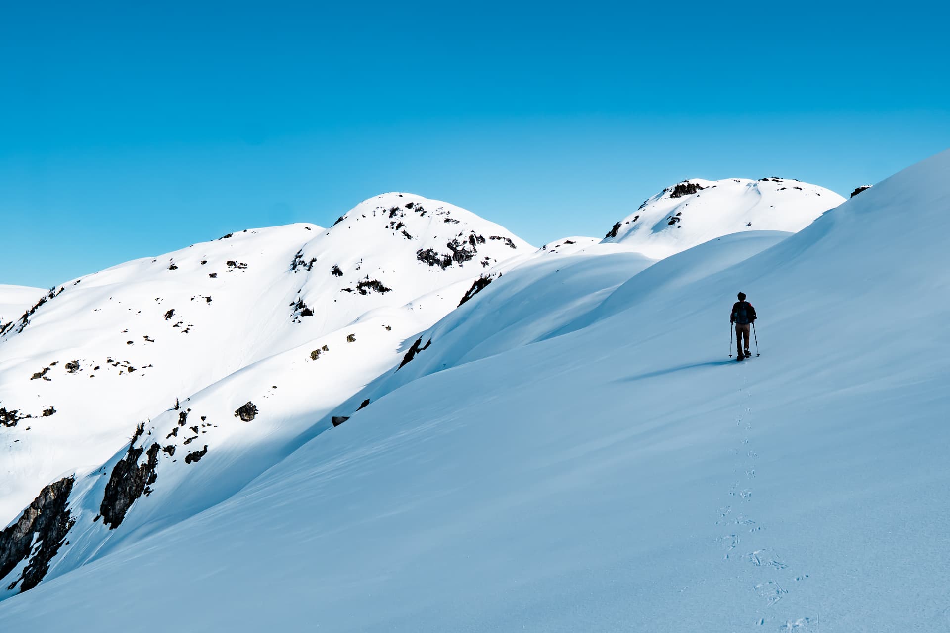
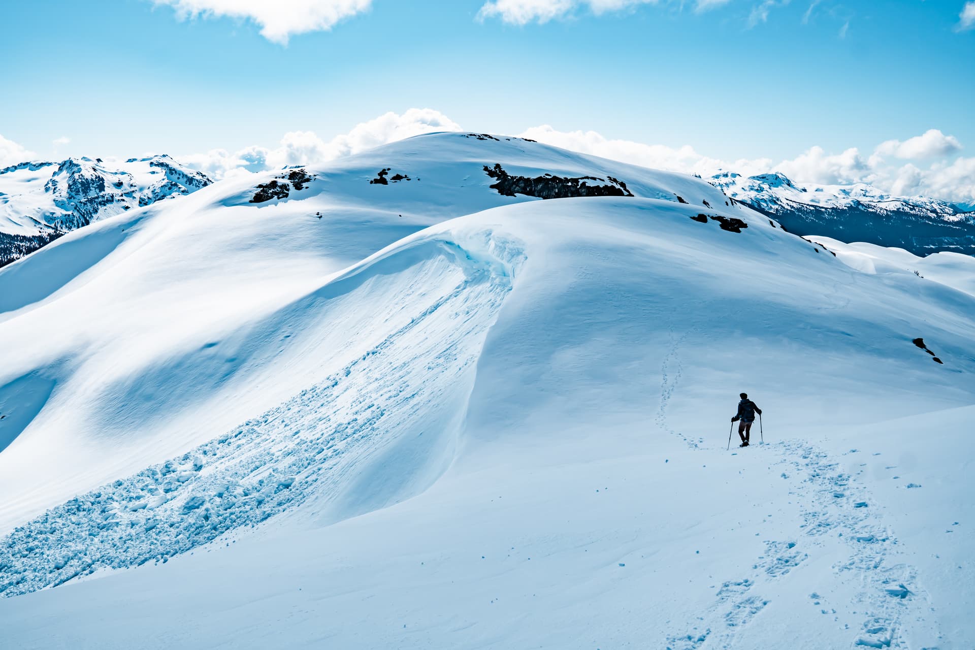
It was now just a matter of following the rolling ridge towards the summit. Route finding was easy and the terrain was largely mellow thanks to the rock hard snow.
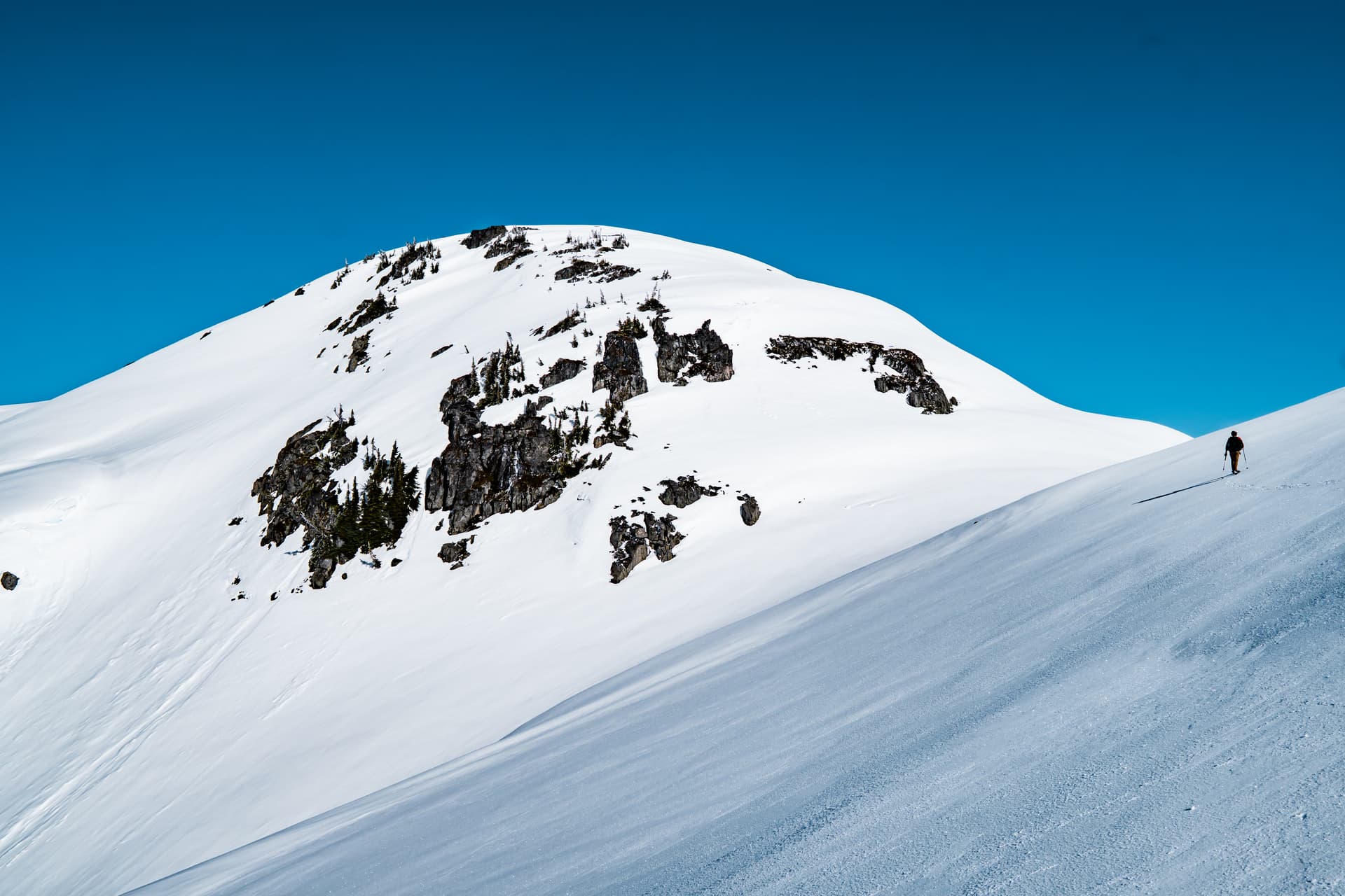
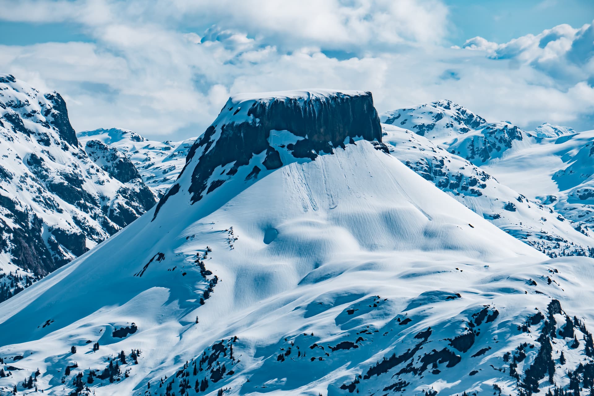
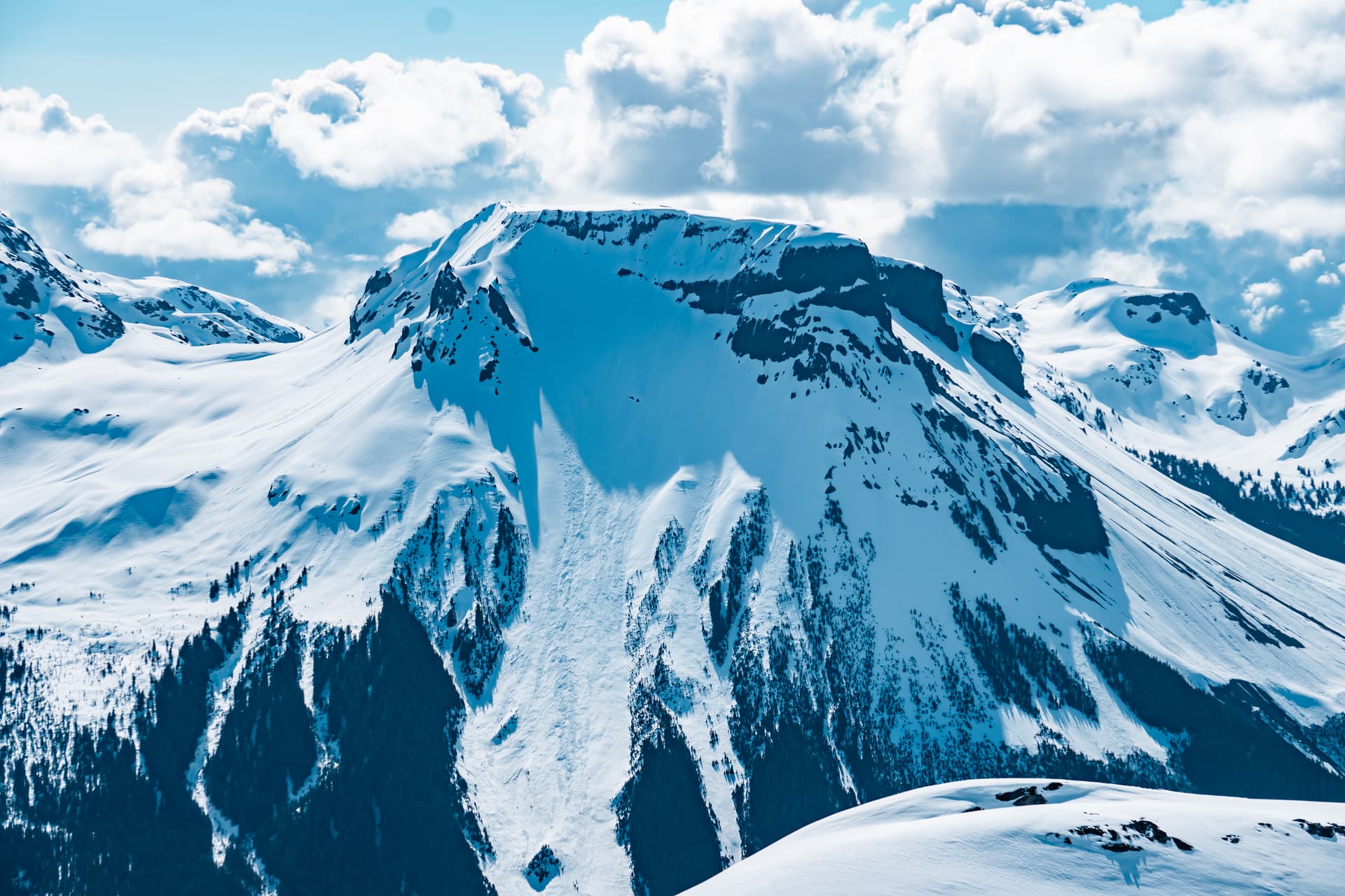
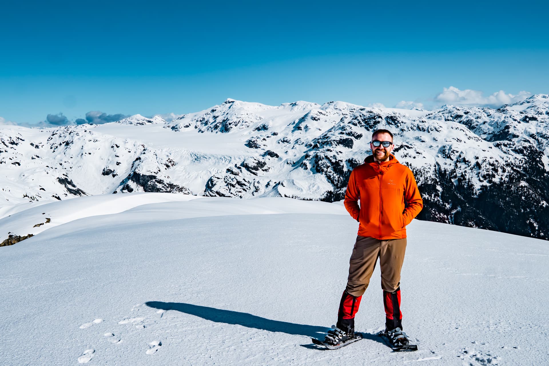
The final climb up to the summit was steep, almost crampon worthy, but we managed in snowshoes nonetheless.
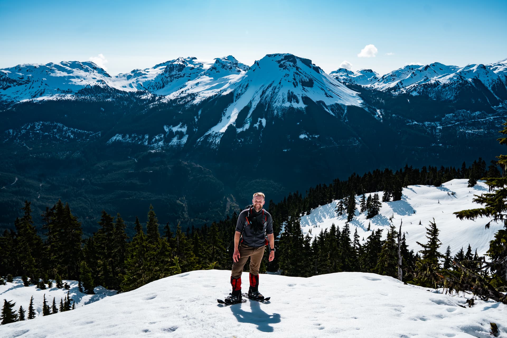
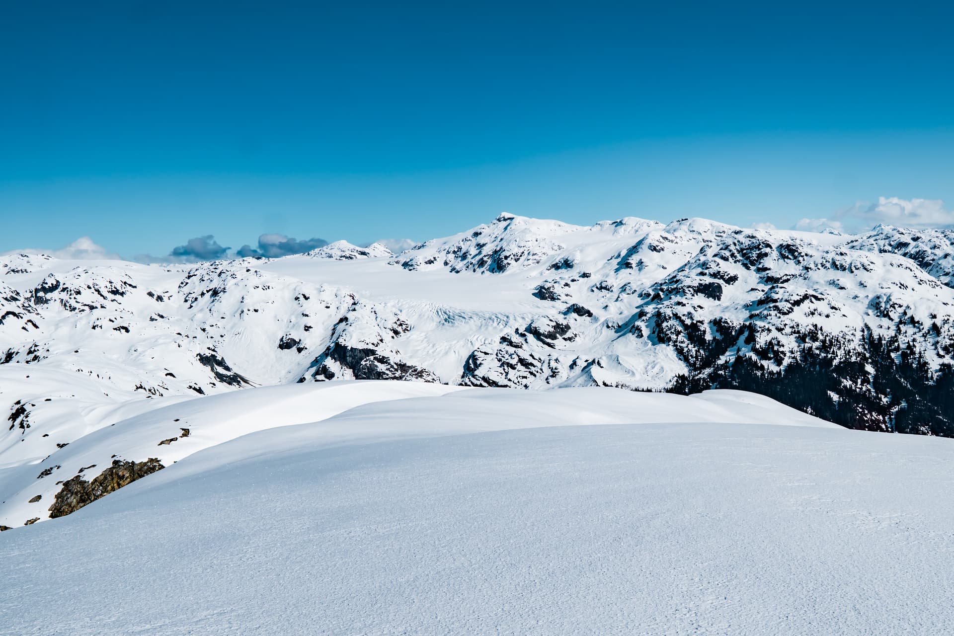
The summit views were fantastic, with panoramic views into the Pemberton Icefield, and some very impressive glaciers below Torah and Famine Peak.
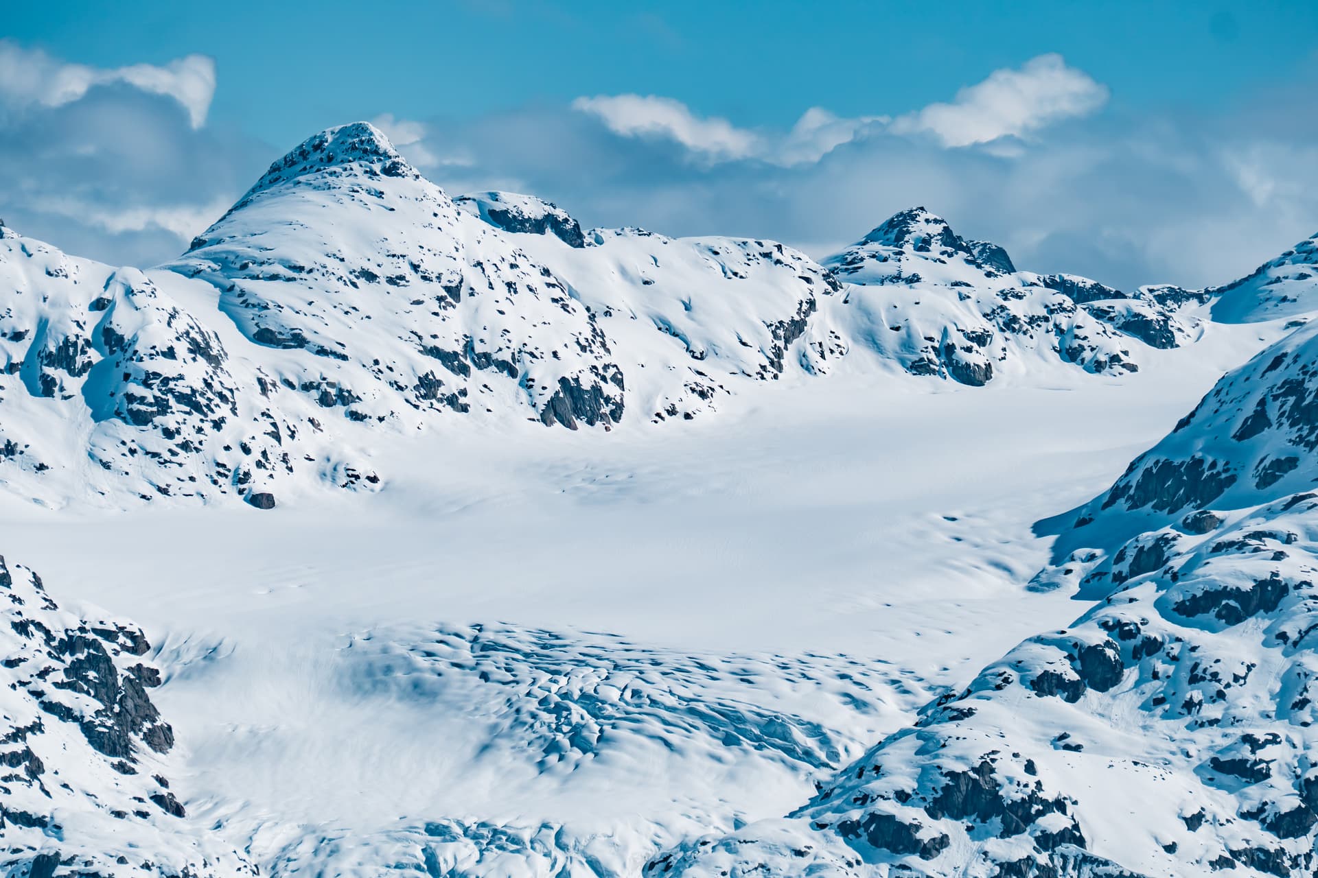
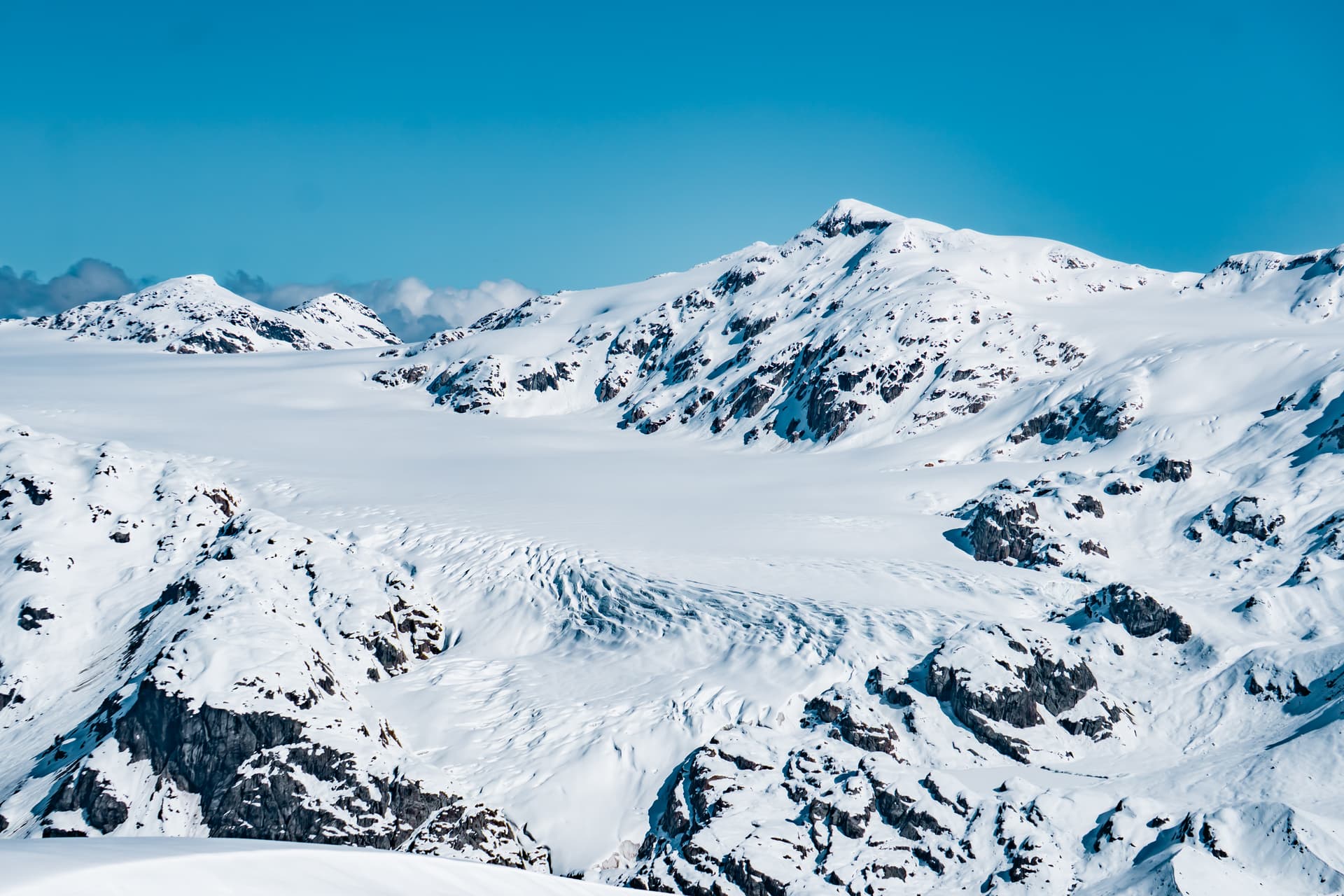
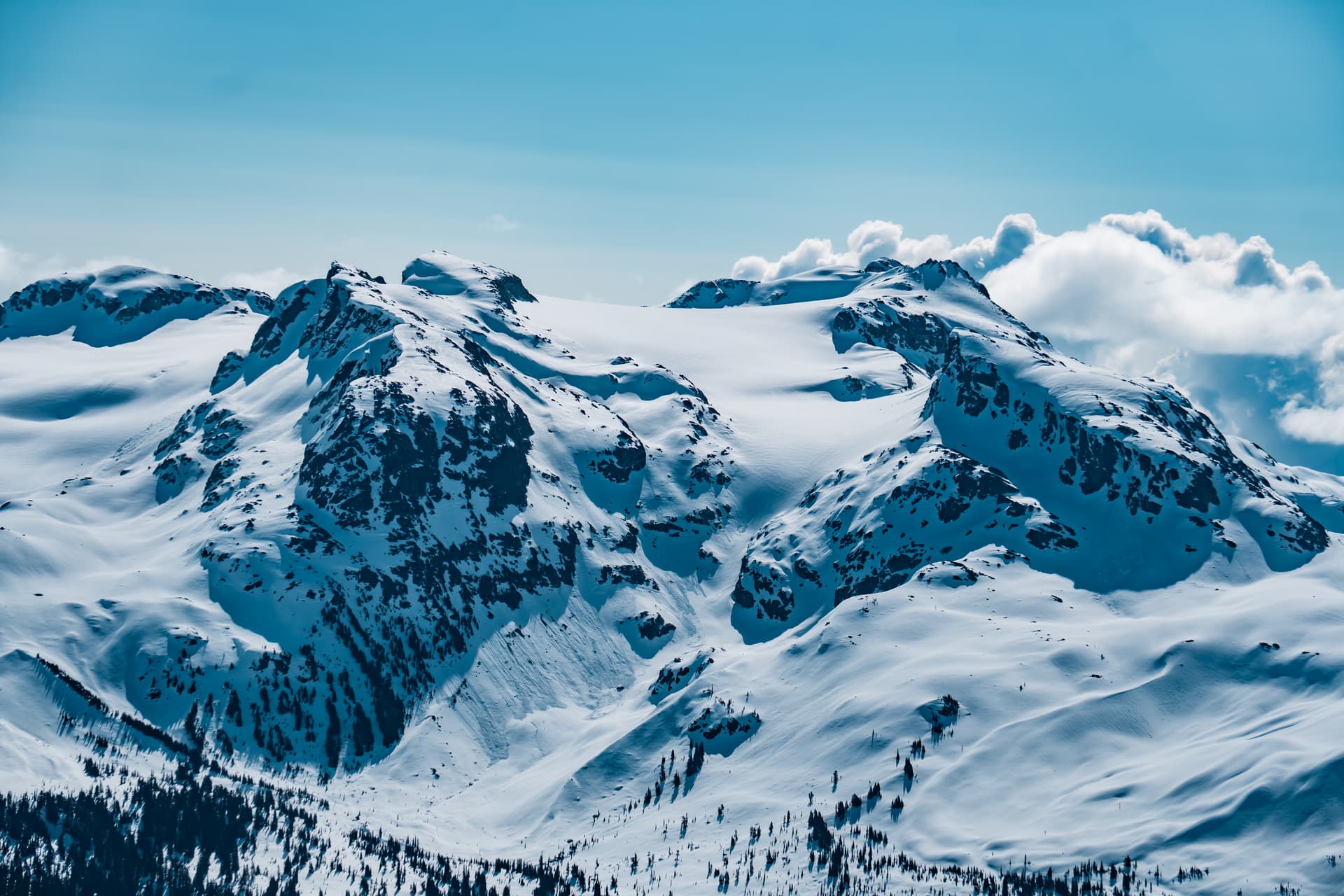
Ring, Little Ring and Callaghan were also quite impressive.
The summit is broad and spacious, but a cool breeze eventually took its toll, so we didn’t linger any longer than necessary.
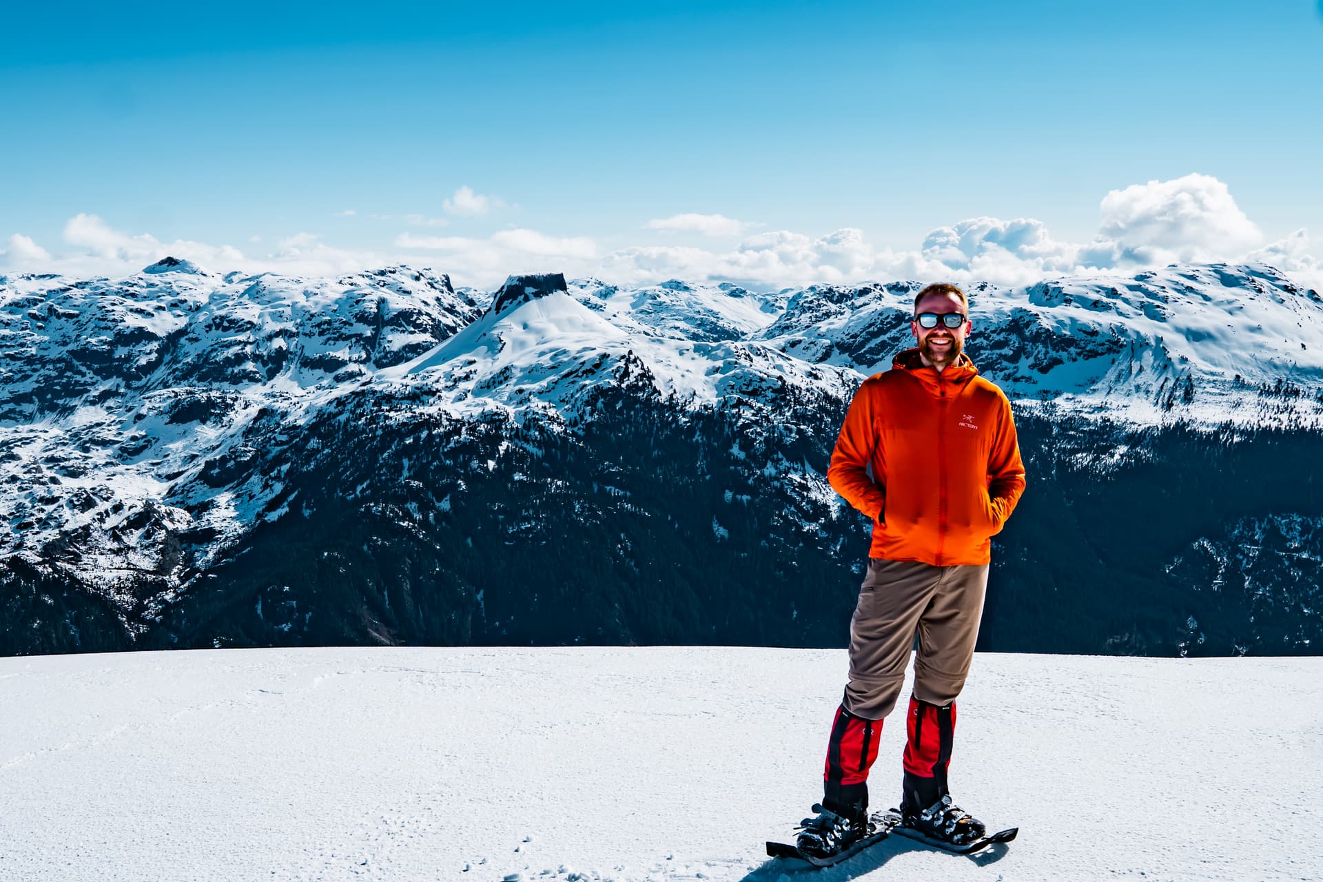
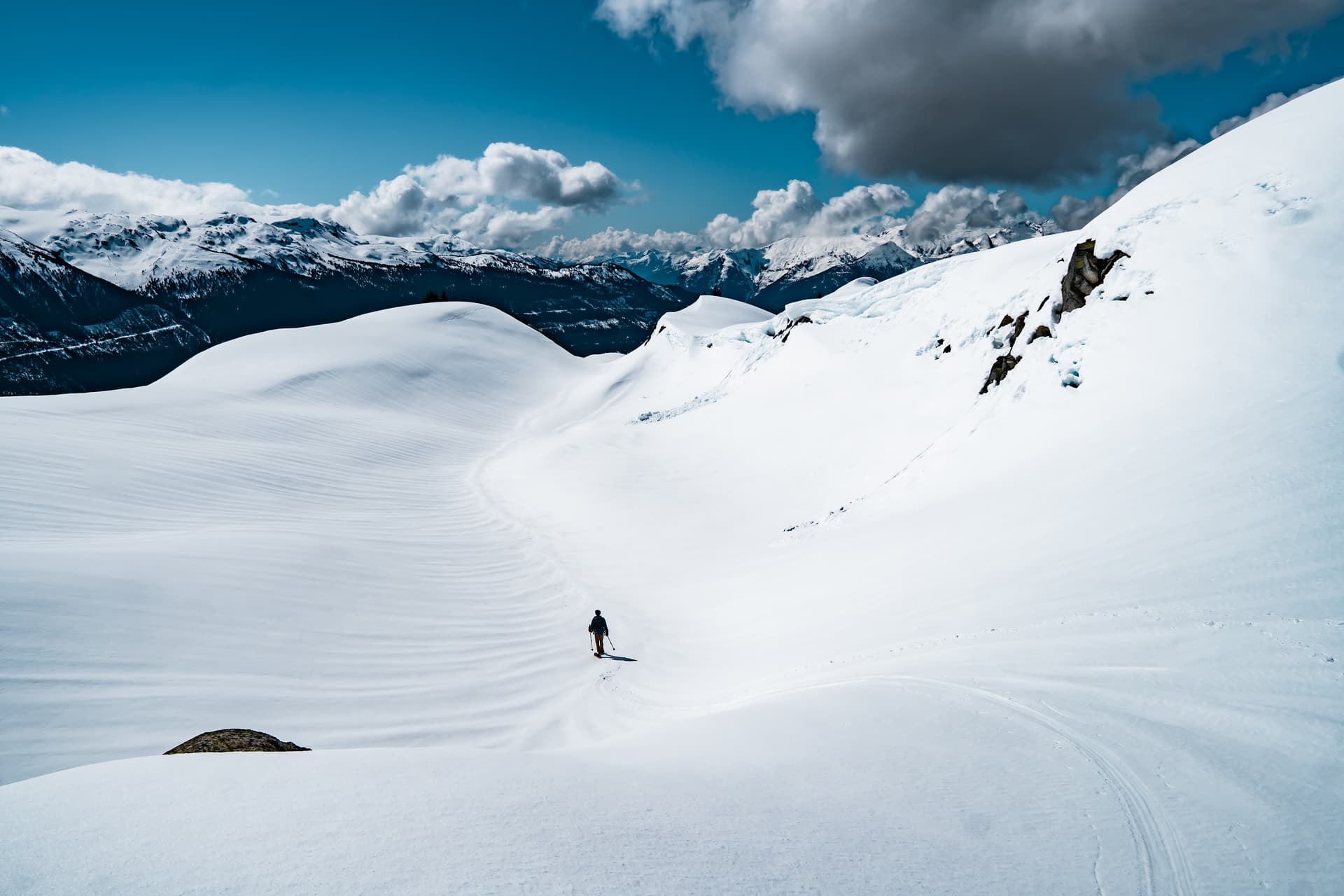
We soon began the descent, butt sliding down that steep part before a seamless plod back out. Overall, this was very much a type 1 kind of day, with seamless travel and perfect conditions. Carnival is an excellent hike in the spring but might be okay in summer too, as the bush didn’t seem too dense even without any snow.